DAY THREE
The night had stayed comfortably warm and the light breeze blew cool air through our tent all night long. I slept like a rock, and once again awoke completely rejuvenated. I felt great, but was a little sad. Today Bryan and I would say goodbye to Brent and Tom. After breakfast they would head down McIntosh Creek while we were going in the opposite direction. It had been a great two days with all the boys, but Bryan and I wanted to a longer trip while Brent and Tom were looking for a shorter experience.
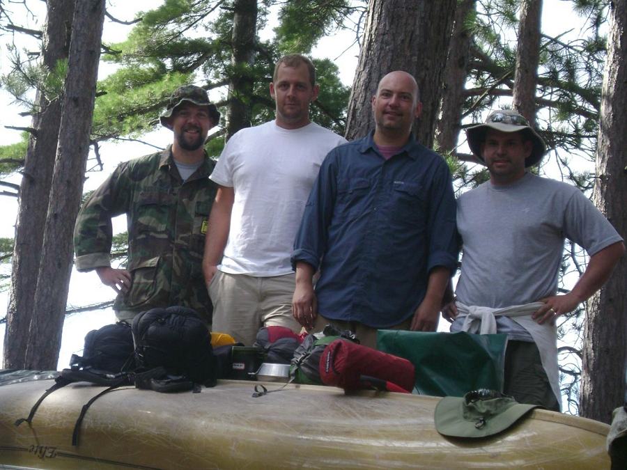
Rory, Tom, Brent, and Bryan post for a group pic after breakfast.
We had planned to make this last breakfast together special by cooking something more interesting than oatmeal. Chef Brent fried up bacon and pancakes! We even had maple syrup! We all ate such a hearty breakfast that nobody ate lunch that day. After breakfast we set about packing up all the gear. We took a few group pictures, and then Brent and Tom carried their canoe down to the water. We helped them load up, then exchanged goodbyes as they paddled away to the south. It was then our turn to load up the canoe and begin the day’s paddle. Bryan and I headed north and east, across the remainder of White Trout and through the narrows that lead to Big Trout Lake.
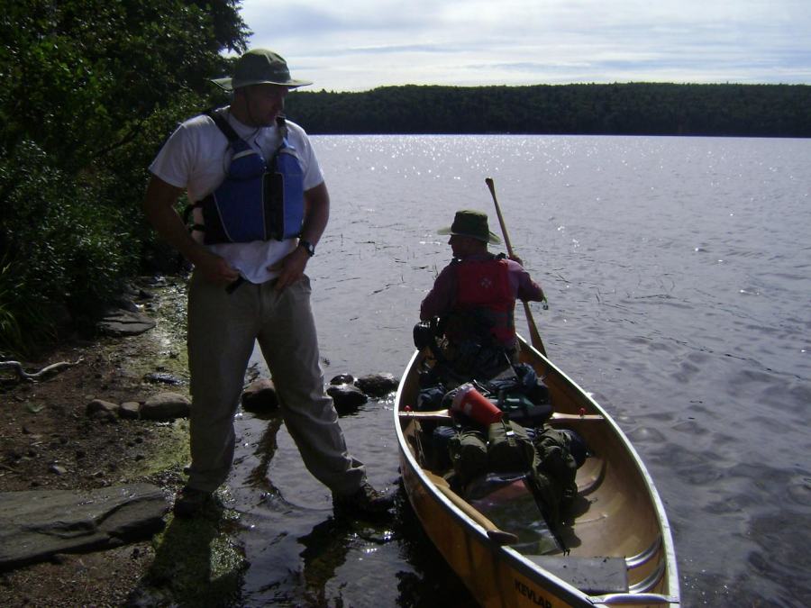
Tom prepares to take the stern as he and Brent start their day’s journey to Misty Lake.
I had only been this way once before, and it had been a rough, windy day. The narrows between the lakes had been the only respite between two choppy lakes. So I was pleasantly surprised to find a calm Big Trout Lake. We stayed close to the western shore as we headed north. When we reached the islands by the portage to Blue Lake, we turned to find the portage to Longer. On the north side of one of the islands we encountered two otters. We couldn’t get any good pictures of them because they were never at the surface for more than a second, and then they would pop up a minute later 100m away. Trying to get close to them was a fruitless endeavor that kept us busy for about 10 minutes. We got the feeling that the otters were just messing with us, so we gave up and headed for the portage. It was a nice, sandy landing and a well-traveled trail to Longer Lake.
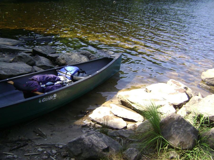
The beautiful landing of the portage leading to Longer Lake.
While paddling Longer, we encountered brief windy conditions. It all depended on the vegetation of the western shore and how close we were to it. The problem we had with Longer was finding exactly where it doglegged to the northeast. Once we found the actual spot it seemed obvious, but there were several spots where we weren’t confident in our map-reading abilities. It wasn’t a major issue, and we never became turned around or off-course, just a little doubtful. Longer ended at a 40m portage, which was just a hop over a small hill that circumvented a shallow, rocky stretch. Very annoying to exit the canoe for only 40m, but due to the low water conditions, it was necessary.
A short paddle and we came to the next portage, a 75m trail. We could see the far end of the portage, and the creek in between didn’t look too bad. After a 10 second debate we decided to run the “rapids”. There was a slight current, just enough to get us stuck against an exposed rock for about a minute when we were a bit slow in adjusting our course. Once free of that rock, it was smooth sailing into Burntroot Lake. Our smooth sailing continued until we passed through the narrows and entered the main body of the lake. At this point it became windier and a challenging paddle. At times it felt like we were on Ralph Bice again!
We were on the lake we planned on staying at for the night, so we began scanning the shores for campsites. There were a few other canoes on the lake, so we were concerned that someone might snag a nice site from us. I’m completely willing to share Algonquin Park with my fellow backcountry trippers, but it only takes one bad experience of searching the whole lake for the last available campsite to make one nervous. I’ve had a few times like that, so at the time I wanted to find a nice site quickly. We dug our paddles into the water and steamed up the eastern side of the lake, passing the first two sites. We stopped at the last site before the portage to Perley Lake, a peaceful site with a sandy beach. We would soon name this site “Cabo san Burntroot”.
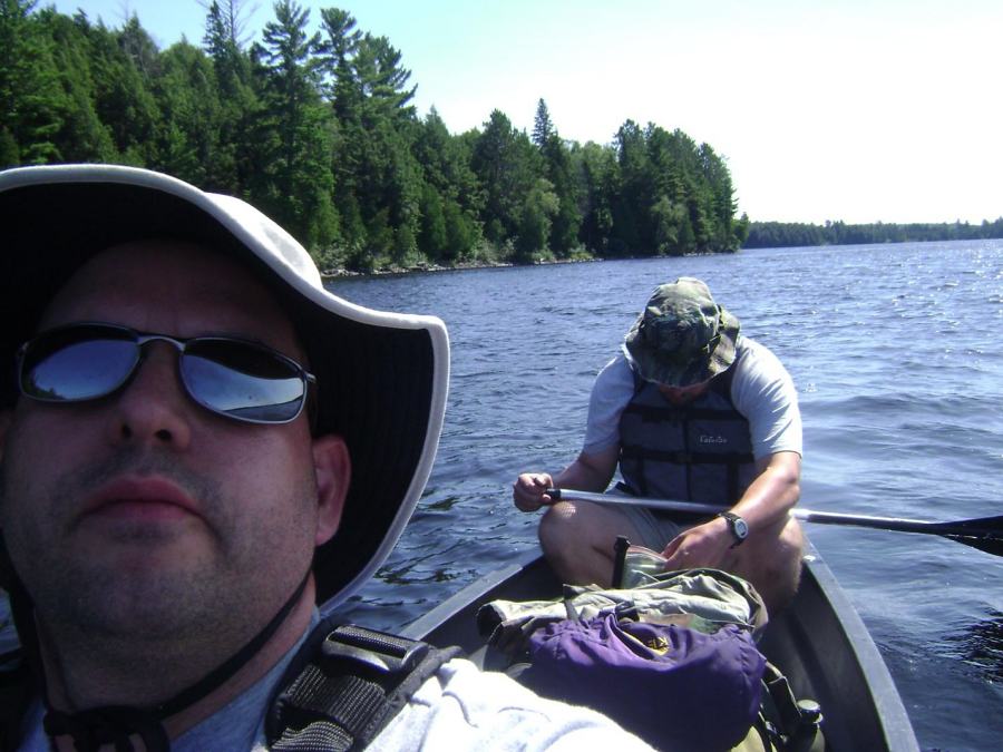
Checking the map to get an idea for where the northern campsites on Burntroot are located.
It was around 3:30 p.m. when we reached the site. Bryan and I settled in by pitching the tent and hanging the hammocks. It was a warm, sunny afternoon so we took full advantage of the sandy beach. We swam and waded in the water and rinsed out sweaty clothes. Later a strong breeze and the ample sunlight dried the clothes we laid out on the overturned canoe. A delicious meal of fettucini alfredo with chicken filled our bellies. It hit the spot, even if it was a freeze-dried backpacking meal. Afterwards, we spent the remaining hours of daylight in our hammocks, shooting the breeze and sipping kahlua. There was a decent sunset, but the lack of clouds kept it from being anything breathtaking. Around 8:30, we hit the sleeping bags for the night. It was a warm night, probably the warmest of the trip, almost to the point of being uncomfortable and hard to sleep through. But sleep we did, until sunrise the next morning.
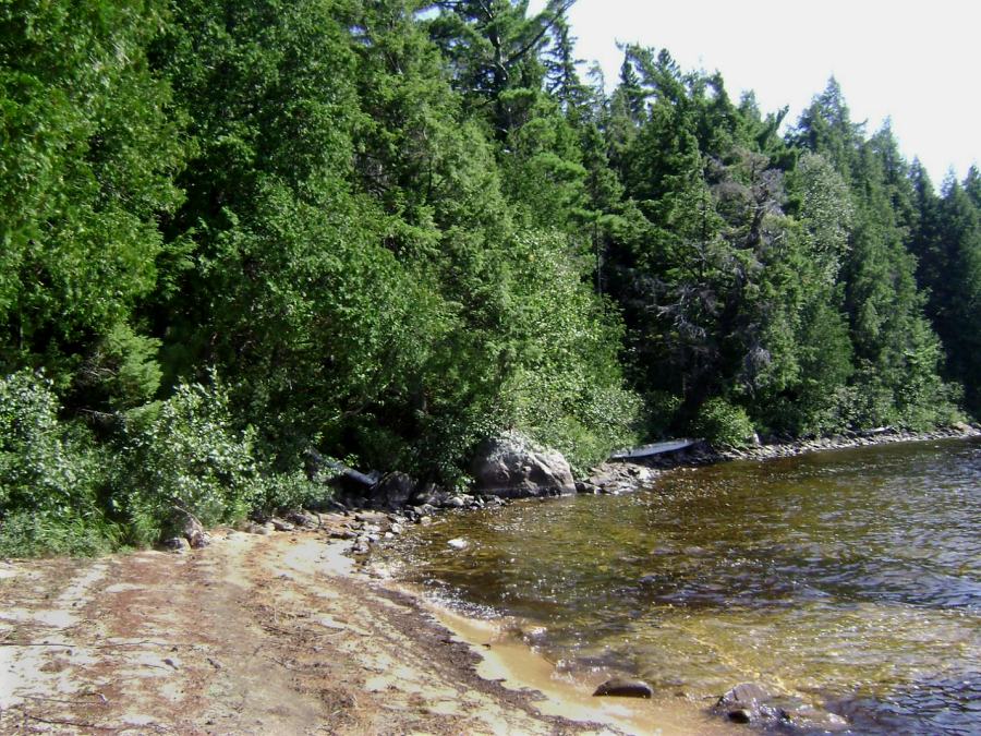
The beach and sandy-bottomed shallows made this site irresisitible!
DAY FOUR
Bryan and I woke up well-rested and ready to go. We made quick work of breakfast and packing, hitting the water at 8a.m. We left Cabo san Burntroot reluctantly, but I was hopeful for another campsite that might even surpass the one we were leaving. The first portage of the day was right behind our campsite, a whole minute paddle around the site to the take-out. We covered the 155m trail and were back in the canoe by 8:10. Perley Lake stretched eastward before us, but the sky was becoming cloudier by the minute.
We truly felt a sense of being in the middle of Algonquin Park on this stretch of Perley Lake/Petawawa River. It was almost two hours before we crossed paths with any trippers going the other way. We enjoyed the quiet beauty that we left our suburban neighborhoods to experience. We were headed to Catfish Lake, and had decided against attempting any of the low maintenance trails between Robinson and the Snowshoe Rapids. Maybe next time through, when we have a lighter canoe or grown sons at their prime! I didn’t think any of the trails around the rapids were tough, but Bryan might disagree. He had become the full-time canoe mule, while I had settled into the main pack hauler. For once I was able to see the forest around me, with no canoe to obstruct my view.
We passed a group of teens along the portage around the Catfish Rapids, and then a group of adults and kids on the stretch of river leading into Catfish Lake. It had started raining as we finished the portage, so we put on our raincoats before shoving off. We exchanged sarcastic comments about the beautiful weather with the adults in the second group as we passed. It was about 10:45 when we reached the lake, and I immediately steered us toward a specific island to the north. I had read about the fabled Shangri-La campsite, and desperately wanted to see for myself how great the site was. There were a few other canoes within view on the lake, so I once more emphasized to Bryan how nice this site was. We paddled hard straight for the island, and reached it around 11:30. Bryan jumped out of the bow, climbed to the campsite above, and happily proclaimed it ours for the night.
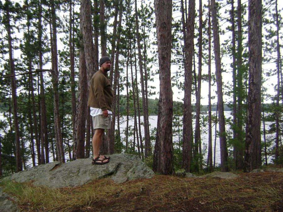
Rory takes in the view of Catfish Lake from a slightly elevated vantage point.
We lugged our packs, soaked on the outside and slightly heavier, up the slope to the site. Slippery rocks can be a hazard when it rains on Shangri-La, so watch your step if you stay there. We waited for a lull in the rain to quickly set up the tent. I pulled out my poncho and used it like a tarp to shelter our packs from the brunt of the rain. With the gear adequately protected, I joined Bryan in the tent. We read our rainy-day books, or napped while the storm continued. I was reading “A Walk in the Woods” by Bill Bryson. His humorous account of hiking the Appalachian Trail kept me entertained for several hours until the rain died down.
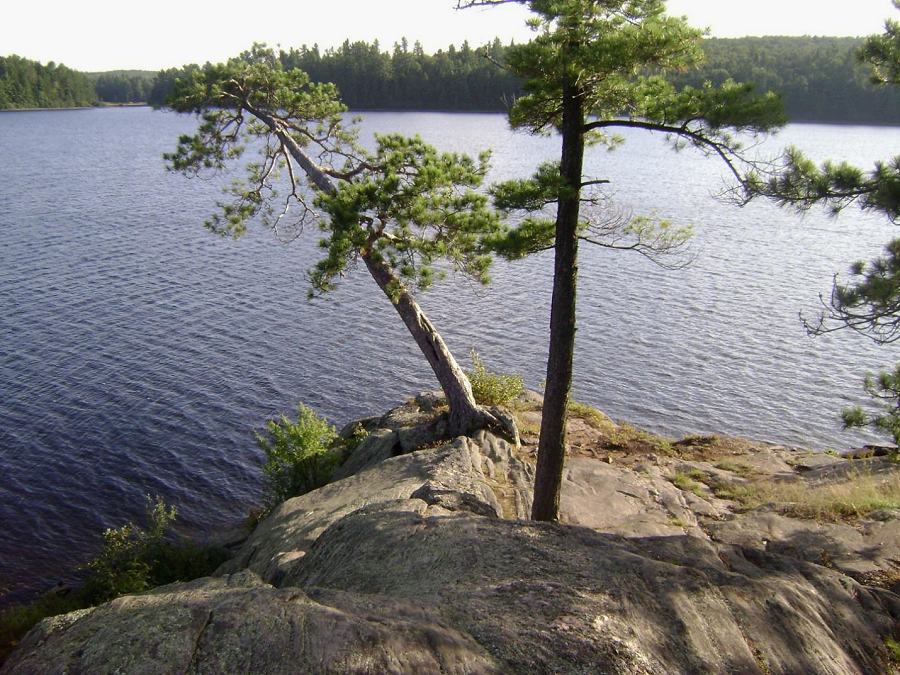
The western tip of Shangri-La Island. A great big slab of rock that can be treacherous when it rains.
We still experienced rain off and on for the rest of the afternoon, accompanied by gusty winds. Occasionally the sun would peak out between the clouds, and we did our best to enjoy the best of the weather in our hammocks. We also explored the island, climbing down to the western shore to filter water, and walking the trail that loops the eastern side of the island to collect firewood. The view from atop the cliff on the northwest side was amazing, both looking straight down and also out across the lake. We warmed our bodies with chili mac and hot chocolate by the fire. The cool, wet, windy weather discouraged us from staying up very late that night. Our warm, dry sleeping bags convinced us it was time to sleep, so we complied.
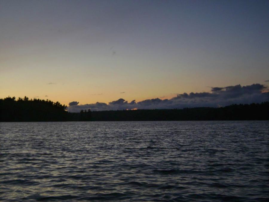
Dusk on Catfish Lake.
Continue to .. Day 5