 Kirkwood / Lawrence Portage
Portage Trail
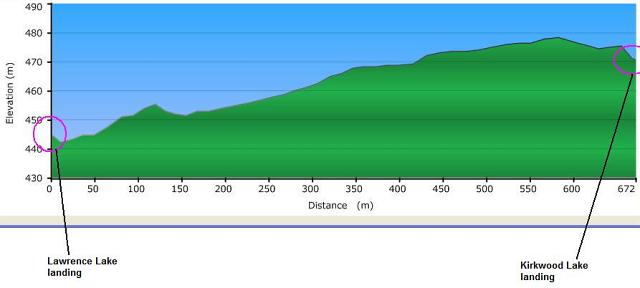
Length: according to CRAPP Map .. 715 meters
Portage maintenance: regular
Elevation above Sea Level @ Kirkwood: 466 m
Elevation above Sea Level @ Lawrence: 437 m
Difference in elevation: 29 meter drop between Kirkwood and Lawrence

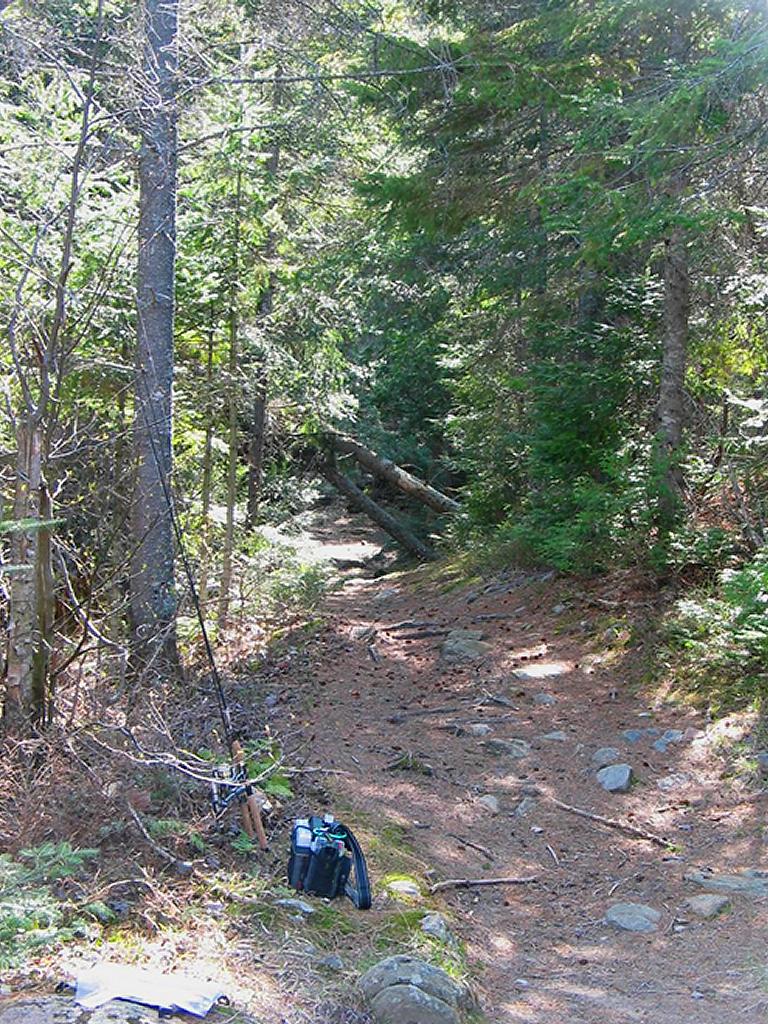
Close to take-out at Lawrence, looking west toward Kirkwood ...

![]()
Topographical impediments to traveling: Besides 3 downed trees and a small muddy section, none.
Areas susceptible to impact by periods of rain or beaver flooding: Early spring typical conditions - some of the trail with standing water/mud but easy to navigate around.
General description: A nice easy portage. At this time of year (early Spring) it was wet in some sections, up to the ankle or slightly deeper, muddy at the 400 meter mark. Otherwise it was firm footing with a few downed trees across trail every 200 meters or so. One downed tree you could walk under (see above pict) even with canoe on shoulders but the others forced a detour off the trail and onto a secondary path for about 20 meters before rejoining the main portage. No steep climbs, but there was a slight drop just before you hit Kirkwood Lake, down a bank of sand and earth.
Landing on Kirkwood: Please submit information.
Landing on Kirkwood (supplementary submission by Stephen Molson) ...

![]()
Landing on Lawrence
Topography of under-water approach: Shallow rock
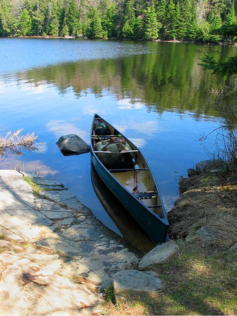
Impediments to disembarking from and/or unloading a canoe: One emergent rock close to shore, slightly rounded rock banks, but very easy and little to no shoreline shrubbery. Nicely wind protected from all but easterlies and lots of open space to haul up canoe and gear to prepare for portaging. Ample room to manage at least 4 large canoes + gear at a time.
Topography of the ascending grade: Very low angle grade (<5 degrees)
Impediments to moving gear to portage trail: None
Canoe landing on Lawrence, looking east ...

![]()

Thanks to Jeffrey McMurtrie of Jeff'sMap for supplying the base-layer map component by Creative Commons licensing.
Submitted by Stephen Molson, Feb 18, 2009