 Timberwolf Lake Campsite #5
GPS - UTM location:: N45° 40.6880' W78° 47.9814'
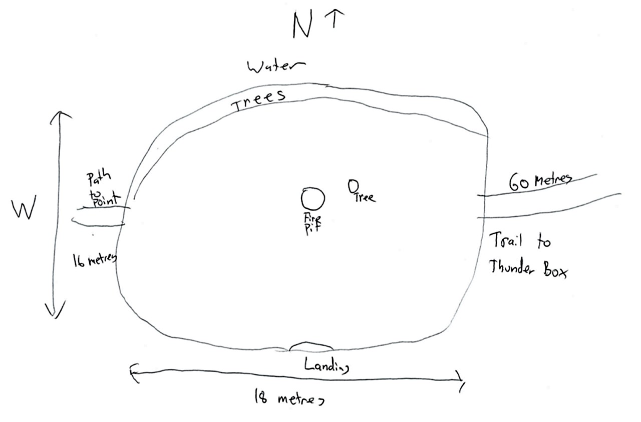
Landing
Topography of under-water approach: Gradual shoreline slope, largely composed of gravel, clay and sand.
Impediments to disembarking from and/or unloading a canoe: None.
Topography to tent sites: Approximately a three foot rise from the water to the campsite.
Campsite
Campsite maintenance: Regular.
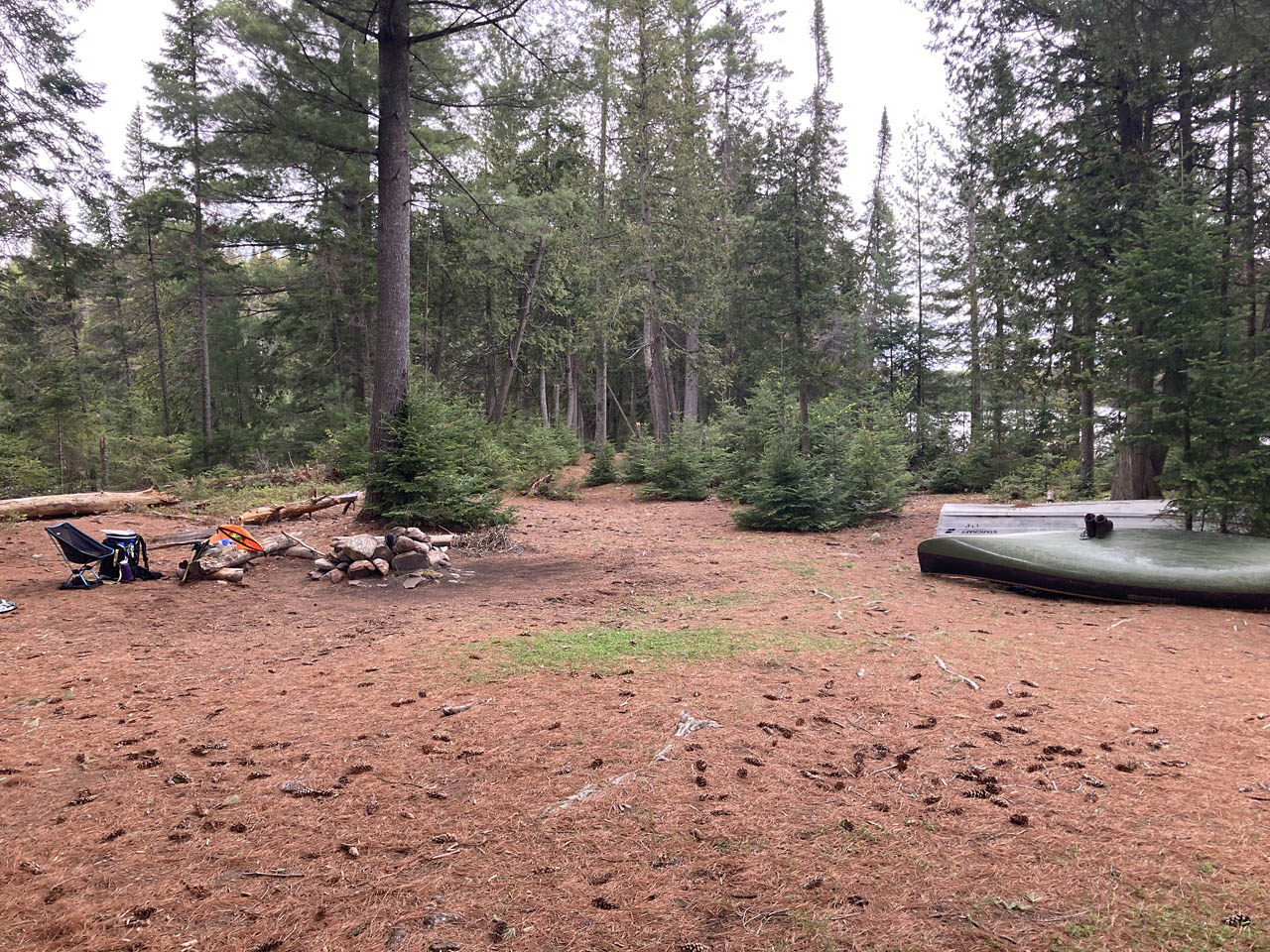
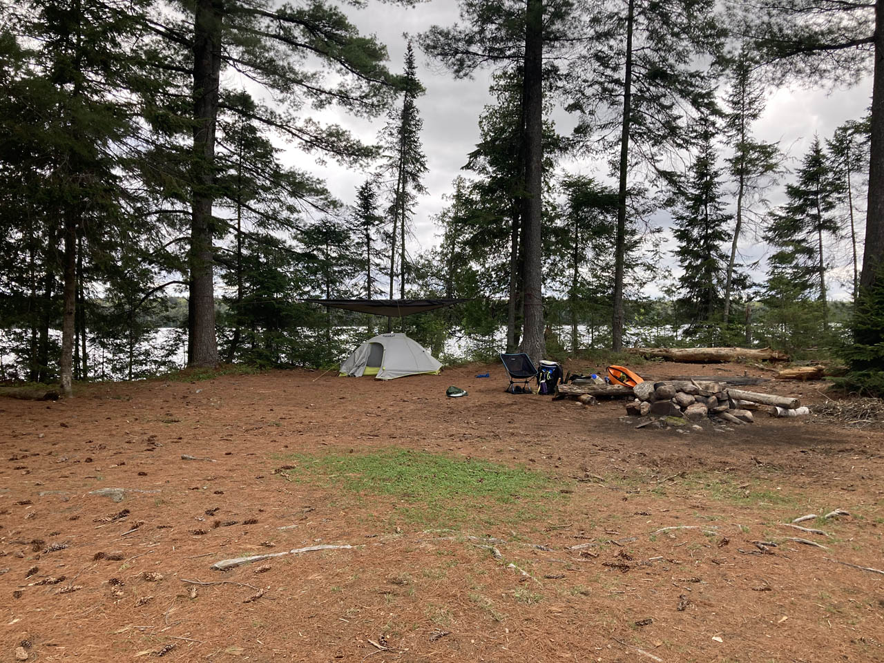
Size of open area: Large open area.
Extent of tree cover: Negligible.
Degree of levelness: Very level.
Number of level tent sites: Many.
North exposure: Shoreline with thin row of trees.
East exposure: Trees and bush.
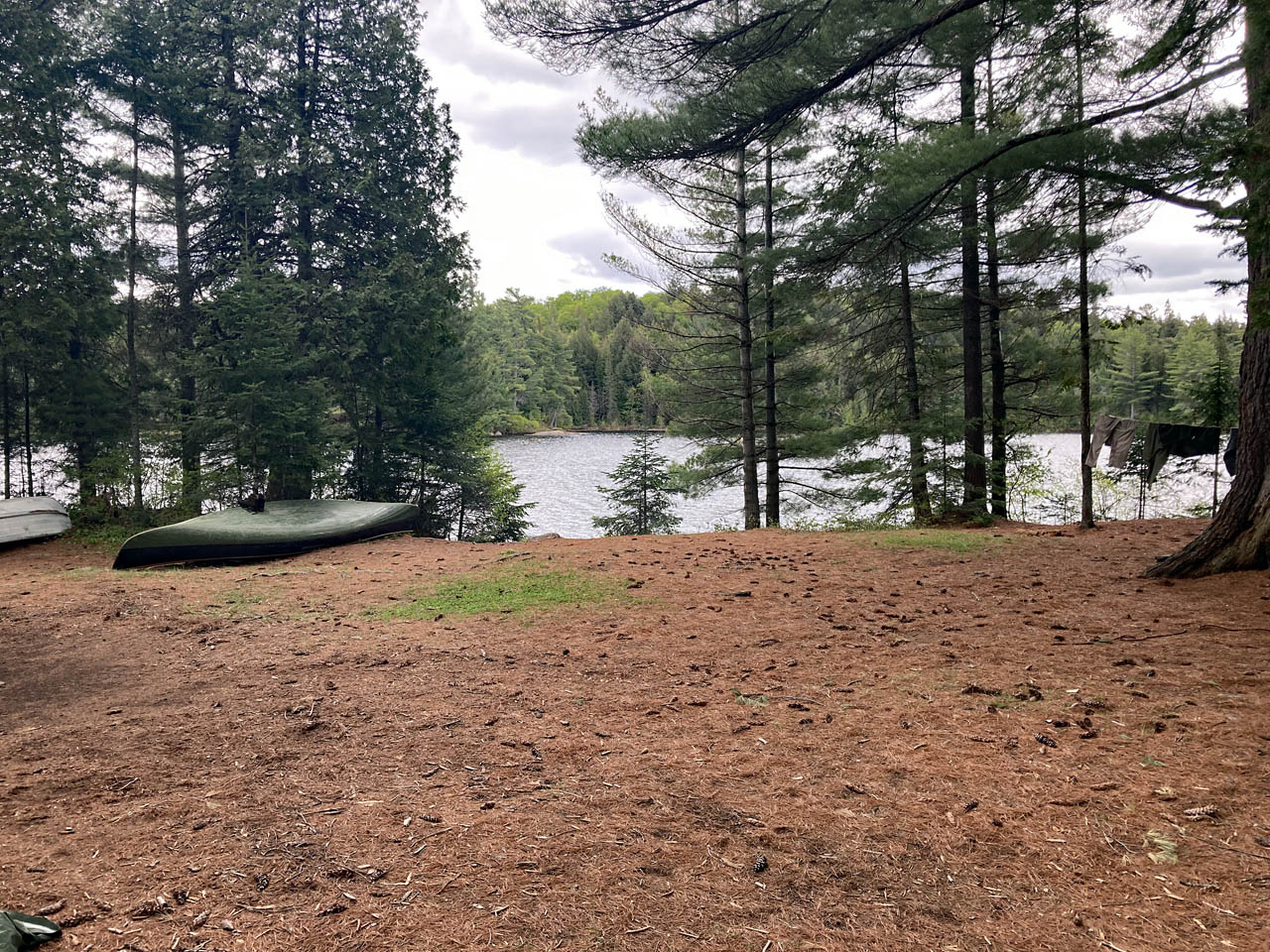
South exposure: Shoreline and landing.
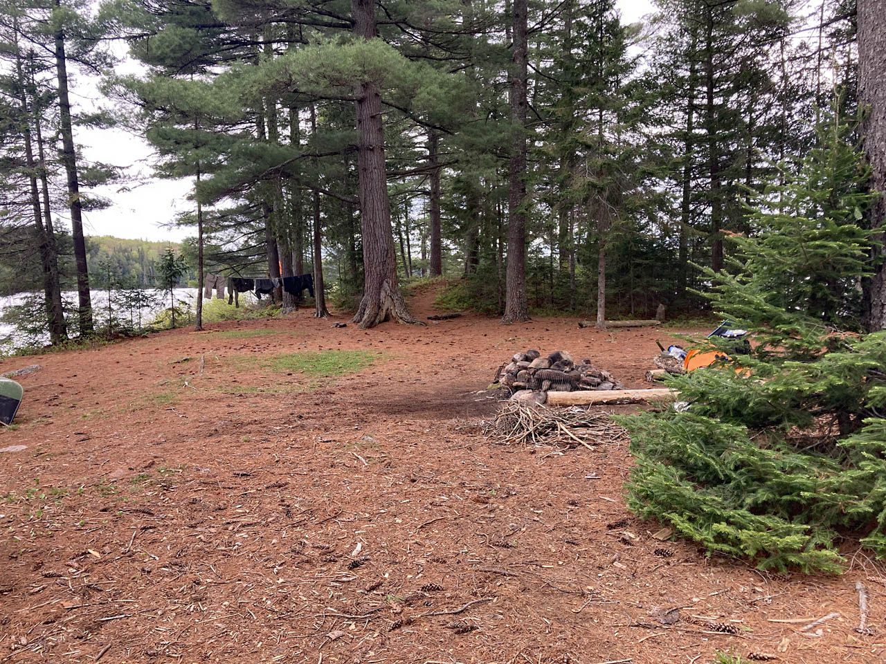
West exposure: Large trees.
|
|
| Looking east across the campsite. | |

|
|
| MNR boat stored on the site. | |
|
|
| Looking north across the campsite. | |
|
|
| Looking west across the campsite. | |
|
|
| Looking south across the campsite. | |
|
|
| Looking west across the campsite. | |
General description: Beautiful site with a large open area for a large group, with multiple tents and possibly hammock-hangs along the edges.
Overall accessibility: Excellent.

Thanks to Jeffrey McMurtrie of Jeff'sMap for supplying the base-layer map component by Creative Commons licensing.
Submitted by Mark L. (aka "Captain Chaos") .. Visited, May 19, 2022 .. Submission May, 2022