 Tanamakoon Lake Campsite #6
Landing
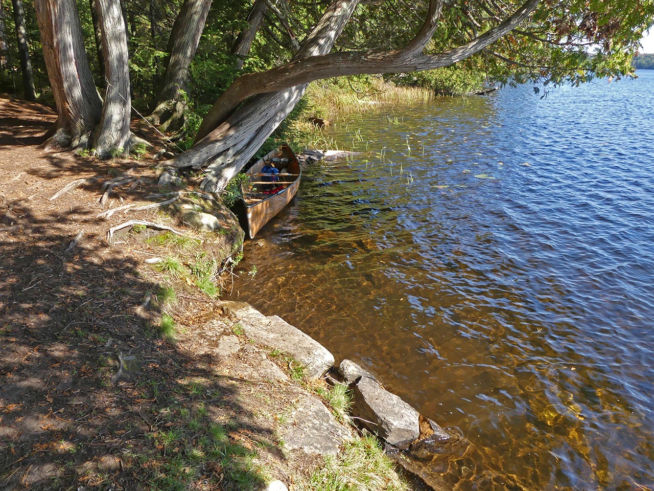
Topography of under-water approach: Rocky section. It requires care.
Impediments to disembarking from and/or unloading a canoe: Be prepared to get feet wet.
Topography to tent sites: Slight grade up to campsite level.
Campsite's clearing, firepit, landing, and tentsites run along the shore's slight rise ...
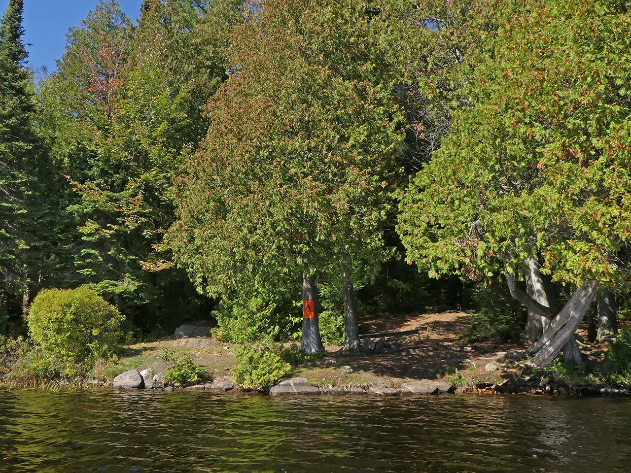
![]()
A low ledge of rocks comprise the landing ...
![]()
Campsite
Campsite maintenance: Regular.
Size of open area: 20 x 30 feet.
Extent of tree cover: 60%.
Degree of levelness: Mixed.
Number of level tent sites: two small and one medium.
North exposure: Trees.
East exposure: Trees.
South exposure: Lake.
West exposure: Trees.
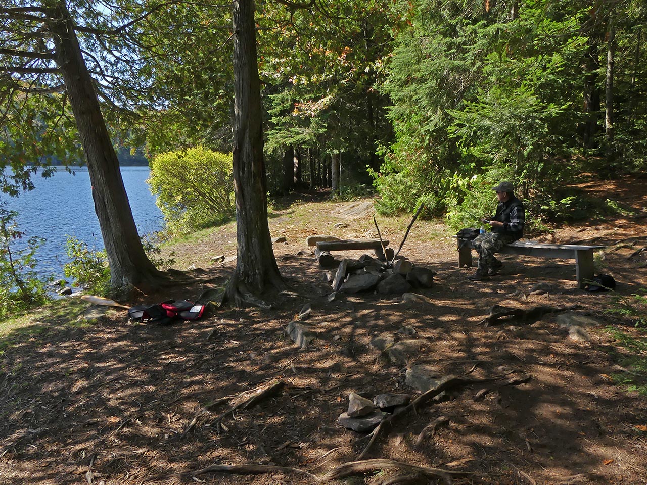
A clearing is located alongside the firepit, which is sheltered by a couple of trees ...
![]()
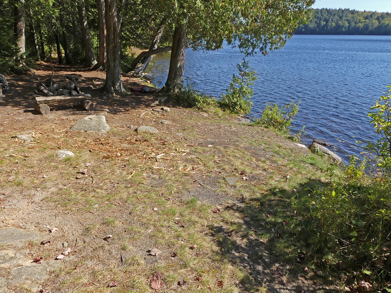
Possible tentsite for a small tent has a clear view down the lake ...
![]()
The firepit has a clear view south across the west bay of the lake ...
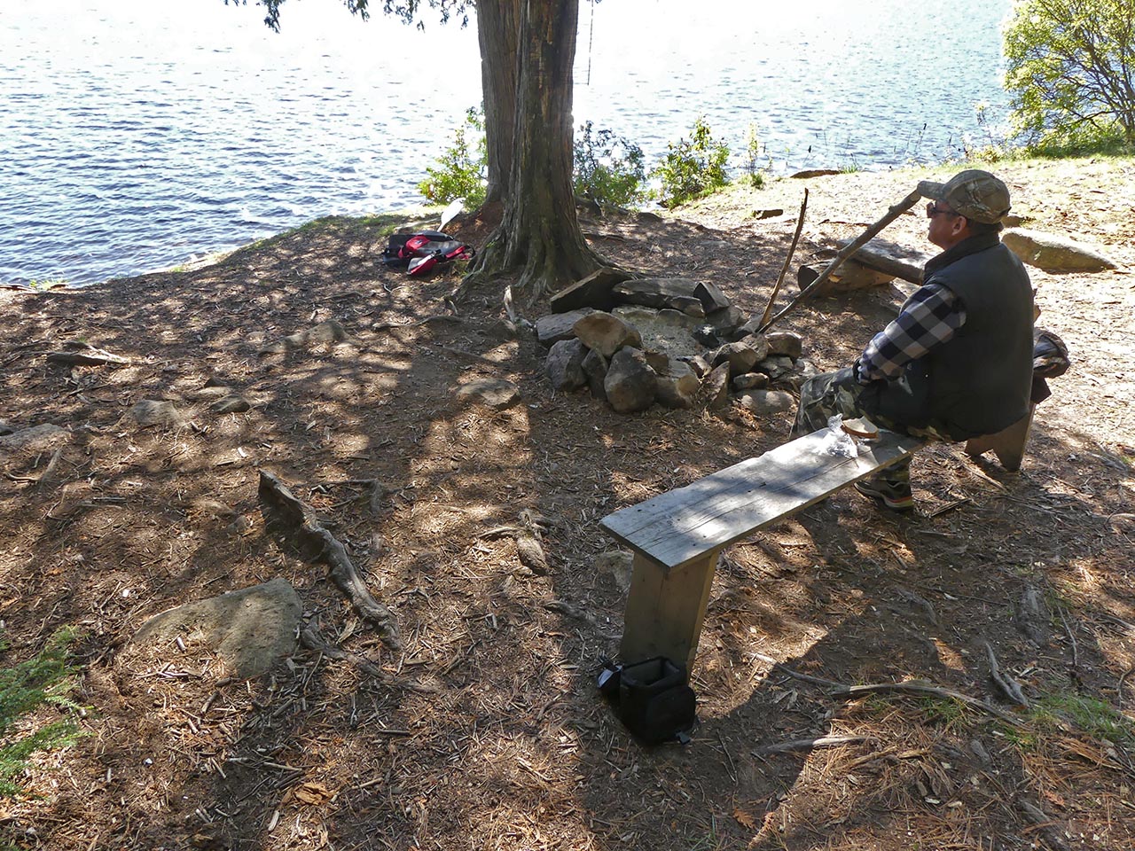
![]()
Another possible small tentsite ...
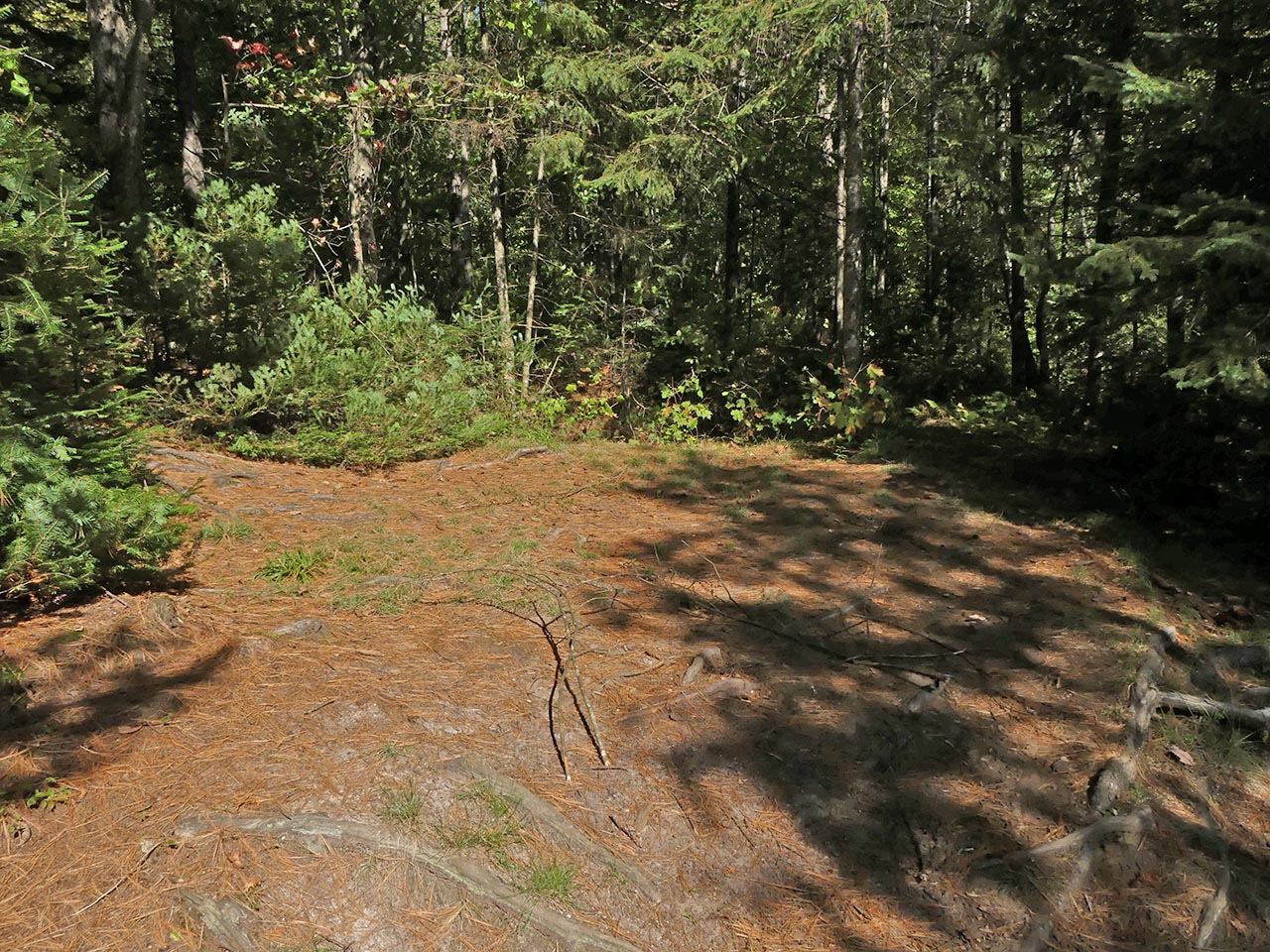
![]()
This larger area has a definite slope that disqualifies it as a tentsite ...
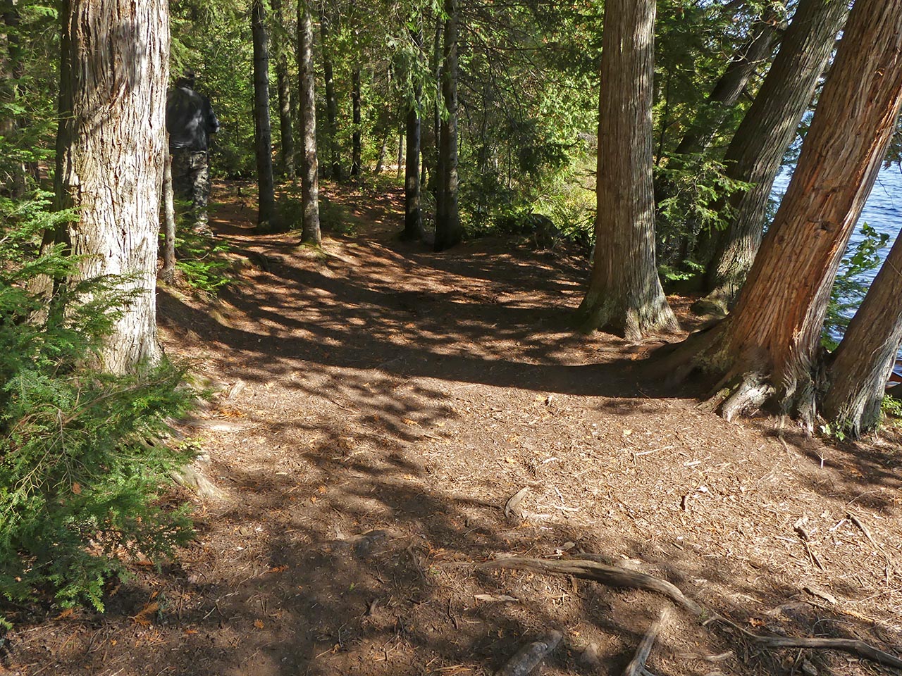
![]()
Located toward the rear, this could hold a medium-sized tent ...
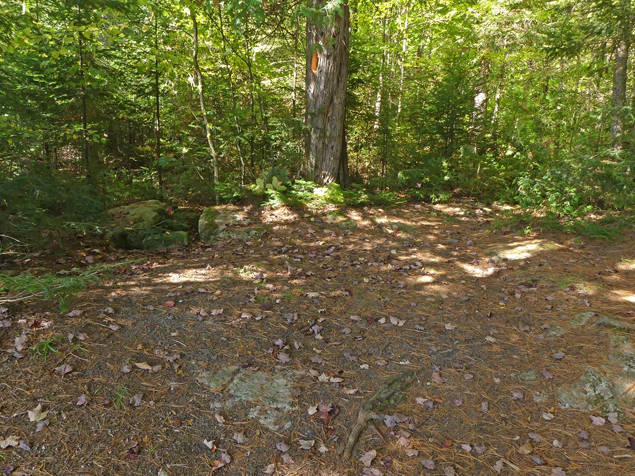
![]()
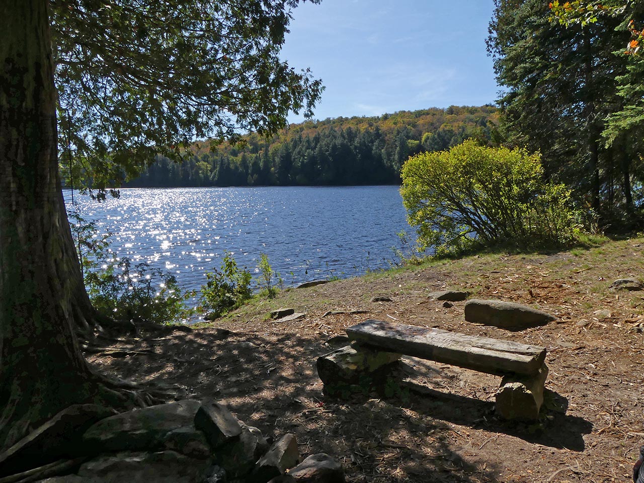
View across the clearing and the lake ...
![]()
General description: While it is oriented south with mid-day sun, summer sunsets and bug-clearing winds are blocked by shoreline trees. Given the rocky shore, canoes should be hauled out to avoid wave action.
Overall accessibility: Moderate.

Thanks to Jeffrey McMurtrie of Jeff'sMap for supplying the base-layer map component by Creative Commons licensing.
Submitted by Barry Bridgeford .. Visited Oct. 2017 .. Submission Oct. 2017