 Tanamakoon Lake Campsite #5
Landing
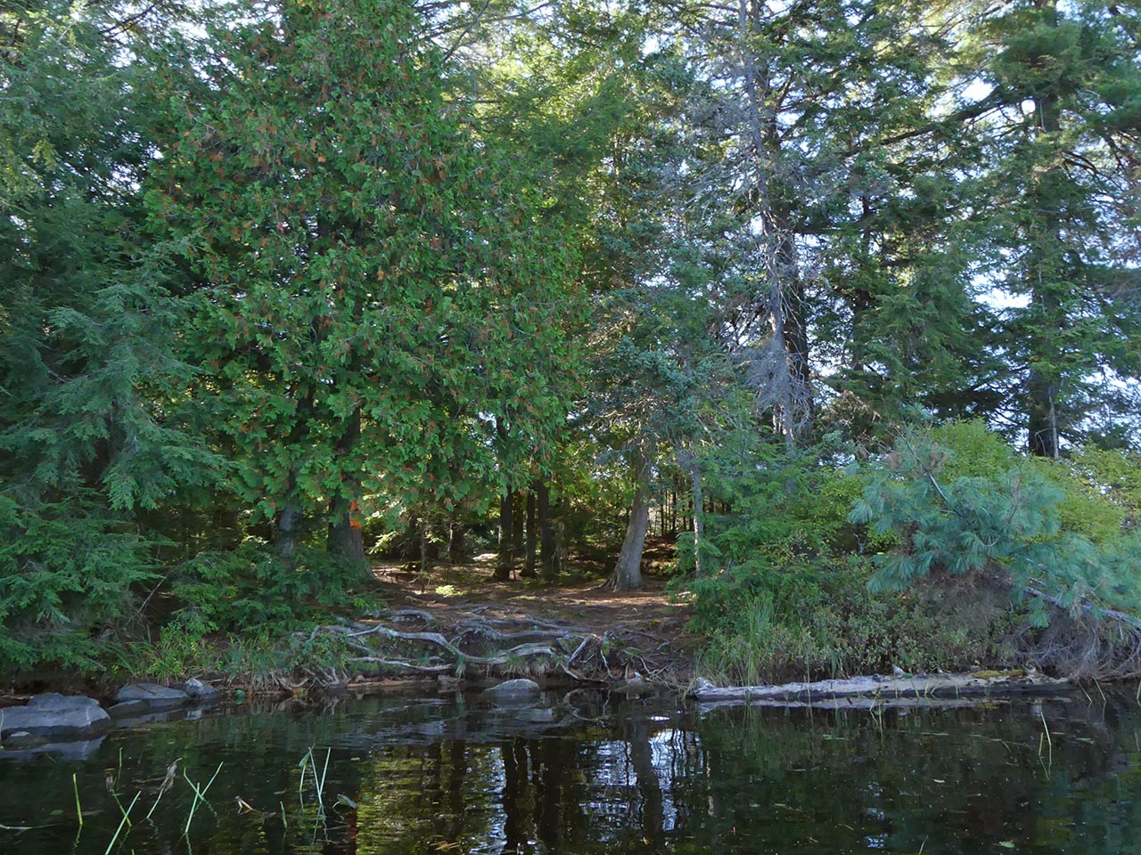
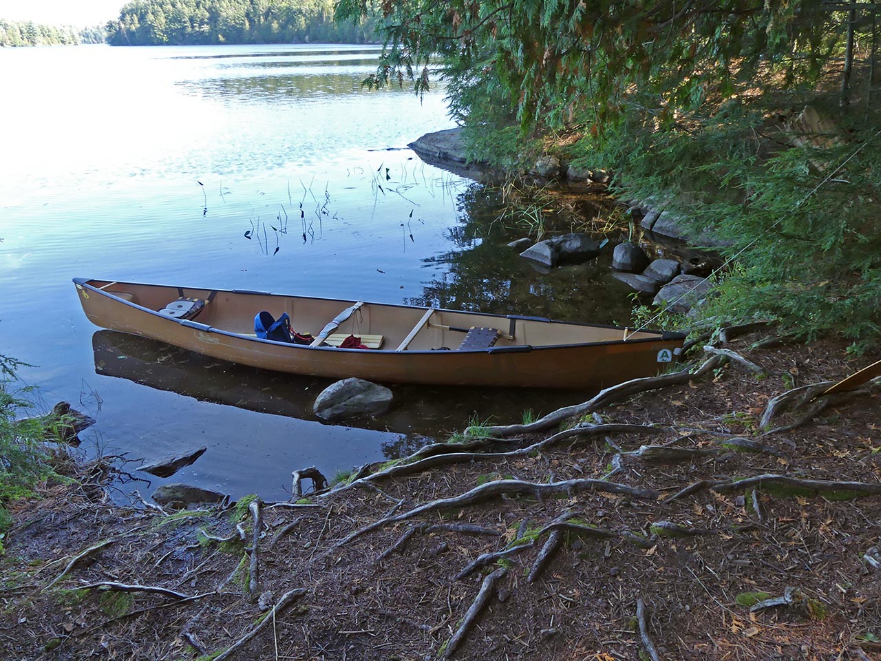
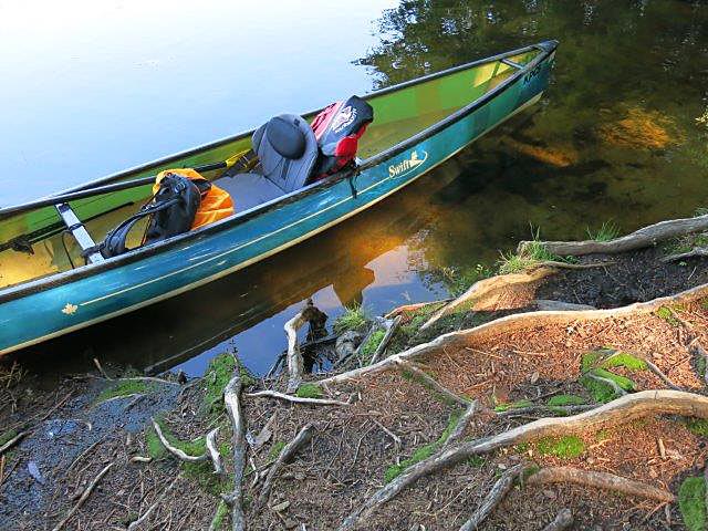
Topography of under-water approach: Relatively shallow and predominantly sandy.
Impediments to disembarking from and/or unloading a canoe: None.
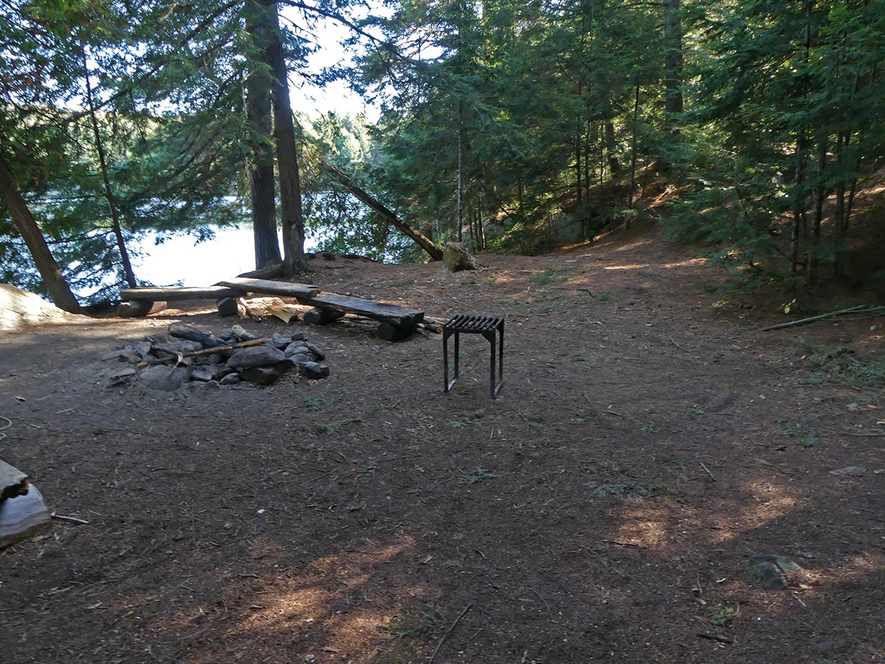
Topography to tent sites: Slight incline to the south to the firepit and tentsites.
Landing area is on the east side of the point (photo by B. Bridgeford) ...
![]()
Landing is within a small sheltered bay (photo by B. Bridgeford) ...
![]()
Landing area has a sandy bottom (photo by W. Spruyt) ...
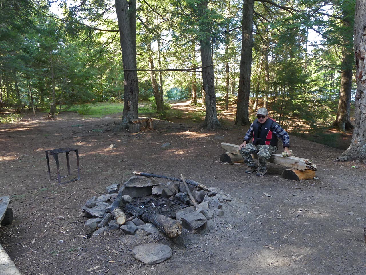
A slight rise to the south leads to the firepit and tensites (photo by B. Bridgeford) ...
![]()
To the north of the firepit are more tentsites, a clearing and a trail that leads to a small lookout (photo by B. Bridgeford) ...
![]()
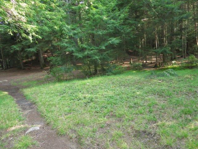
Looking southeast back down the trail toward the campsite (photo by W. Spruyt) ...
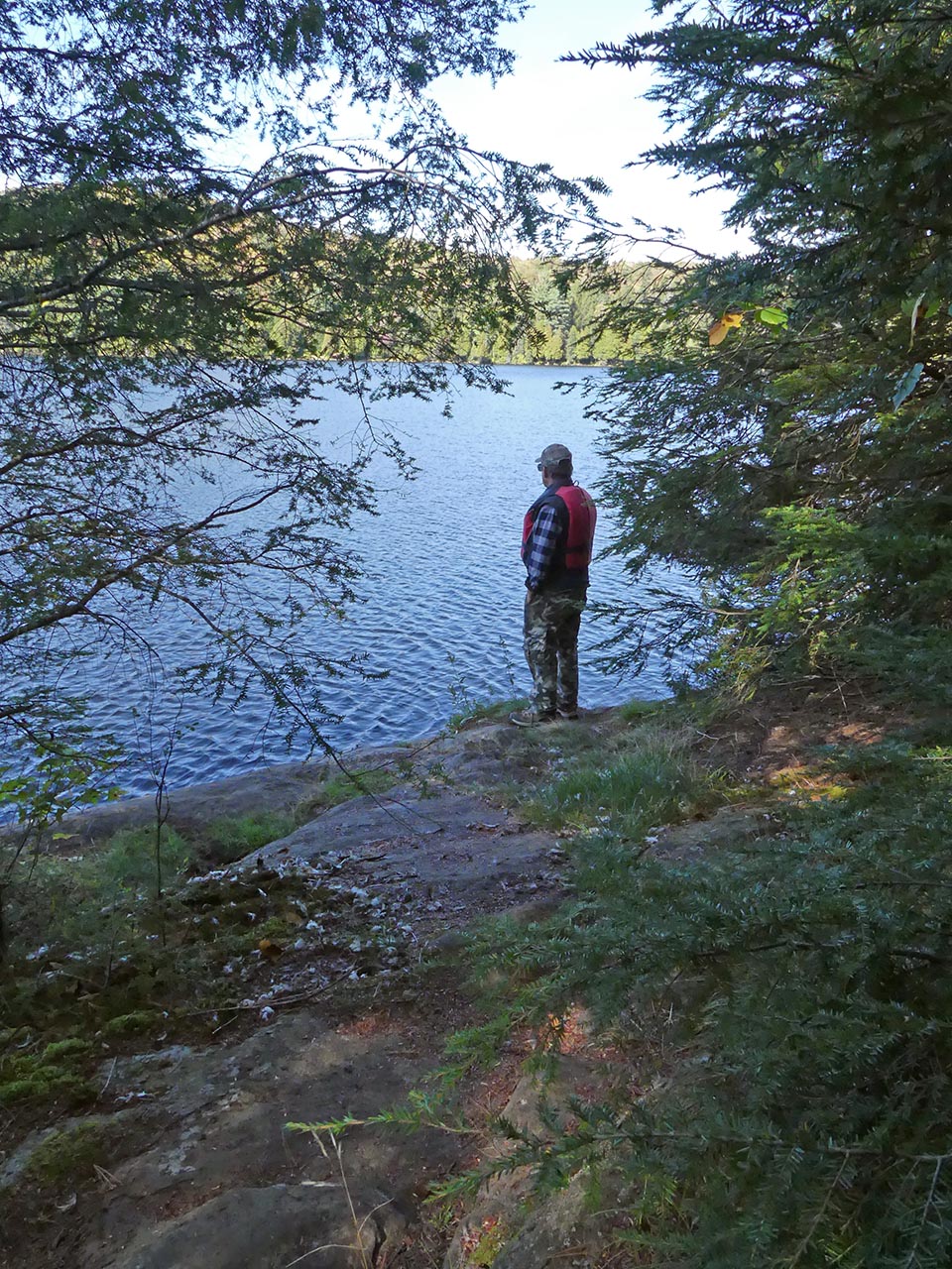
At the north end of the trail is this small lookout that provides a sunset view (photo by B. Bridgeford) ...
![]()
Campsite
Campsite maintenance: Regular.
Size of open area: 20 x 30 feet.
Extent of tree cover: 100% (open grassed area behind campsite).
Degree of levelness: Level.
Number of level tent sites: Many.
North exposure: Trees.
East exposure: Lake through the trees.
South exposure: Trees.
West exposure: Trees (and sunset view from small ledge on west side of point).
General description: Ample room for many tents. However, the actual campsite lacks both an attractive view of the lake or any sunny vantage point.
Overall accessibility: Easy.

Thanks to Jeffrey McMurtrie of Jeff'sMap for supplying the base-layer map component by Creative Commons licensing.
Co-authors: Wanda Spruyt & Barry Bridgeford .. Visited Sept. & Oct. 2017 .. Submission October 2017