 Tanamakoon Lake Campsite #4
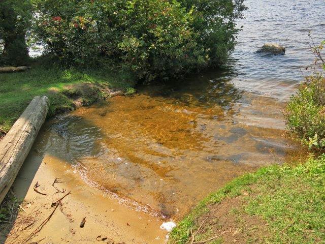
Landing
Topography of under-water approach: Northwest landing is shallow and sandy.
Impediments to disembarking from and/or unloading a canoe: None.
Topography to tent sites: Slight incline to tentsites.
This sandy landing is on the northwest side of the island ...

This tentsite area is open to the southeast and visible when exiting the channel from Cache Lake ...

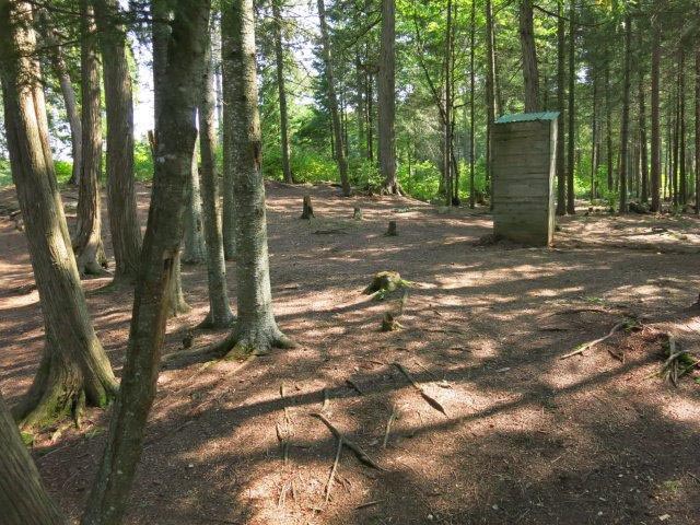
Outhouse is located at the middle of the island ...

Campsite
Campsite maintenance: Regular.
Size of open area: 20 x 30 feet.
Extent of tree cover: 75%, open at firepit.
Degree of levelness: Level tentsites.
Number of level tent sites: Many.
North exposure: Large trees.
East exposure: Trees and lake.
South exposure: Lake.
West exposure: Trees and lake.
General description: The open space on the island is the first thing you see when coming through the narrows from Cache Lake.
Overall accessibility: Easy.

Thanks to Jeffrey McMurtrie of Jeff'sMap for supplying the base-layer map component by Creative Commons licensing.
Submitted by Wanda Spruyt .. Visited Sept. 2017 .. Submission October 2017