 Tanamakoon Lake Campsite #1
Location: N45° 32.567' W78° 36.978'
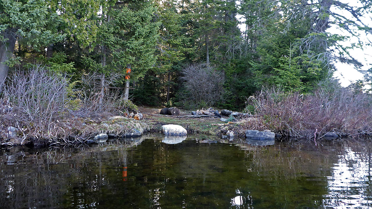
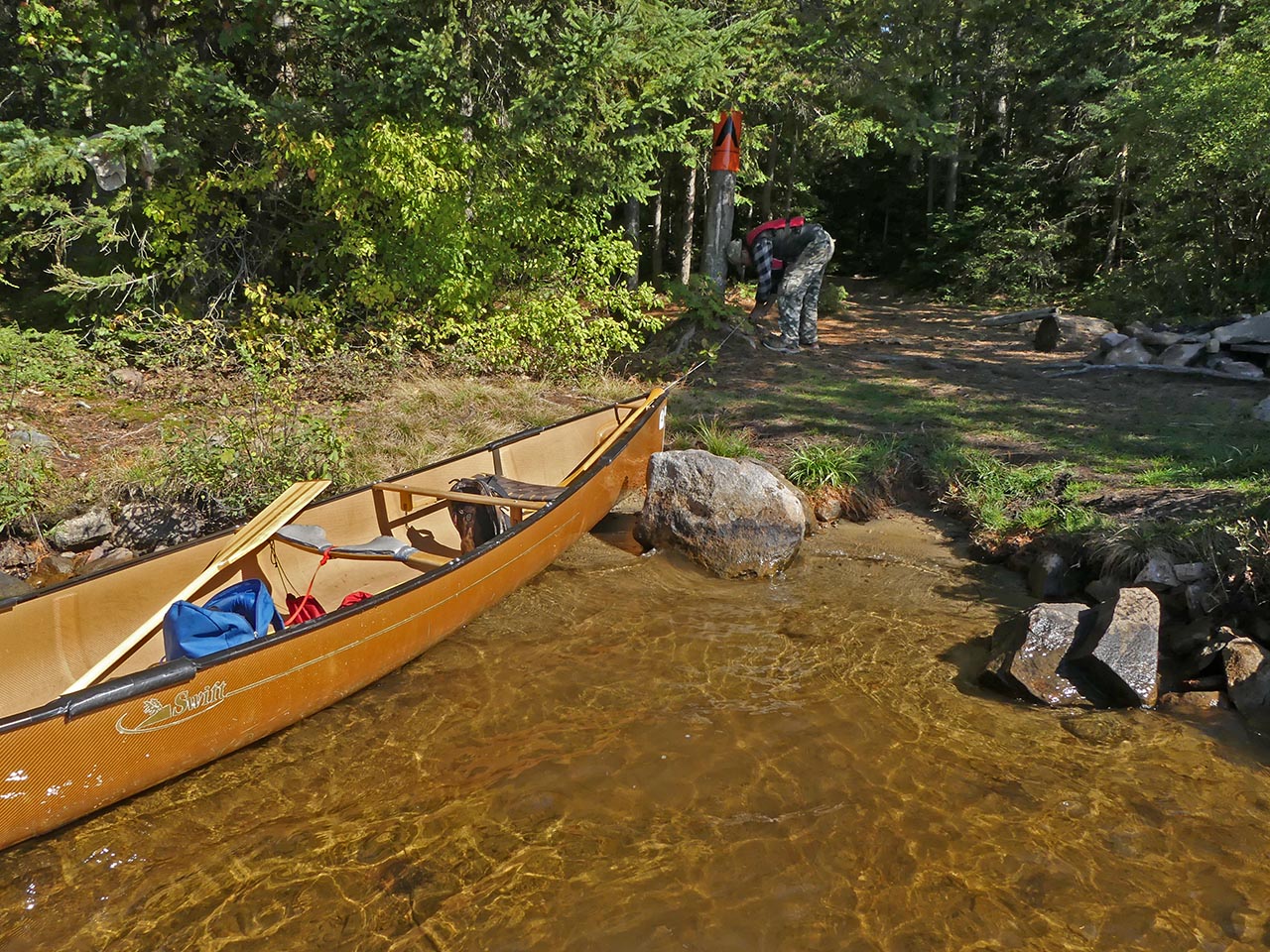
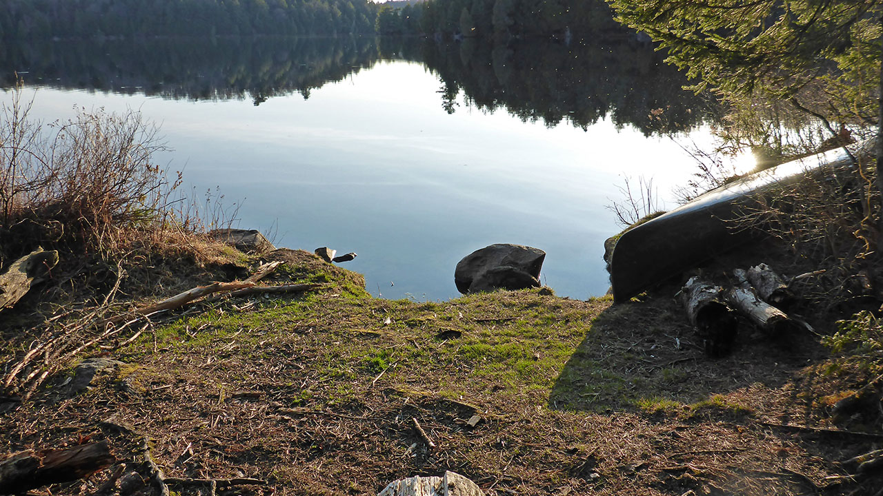
Landing
Topography of under-water approach: Sand and silt.
Impediments to disembarking from and/or unloading a canoe: Small landing area, only 1 canoe can load/unload at a time.
Topography to tent sites: You are on the site once you have unloaded.
View of landing from the water (Photo: B. Bridgeford, Oct. 2017) ...
![]()
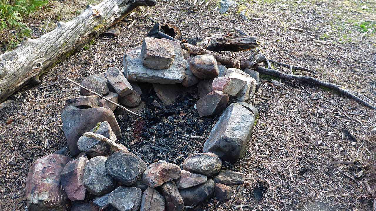
View of landing from the firepit ...
![]()
Campsite
Campsite maintenance: Regular.
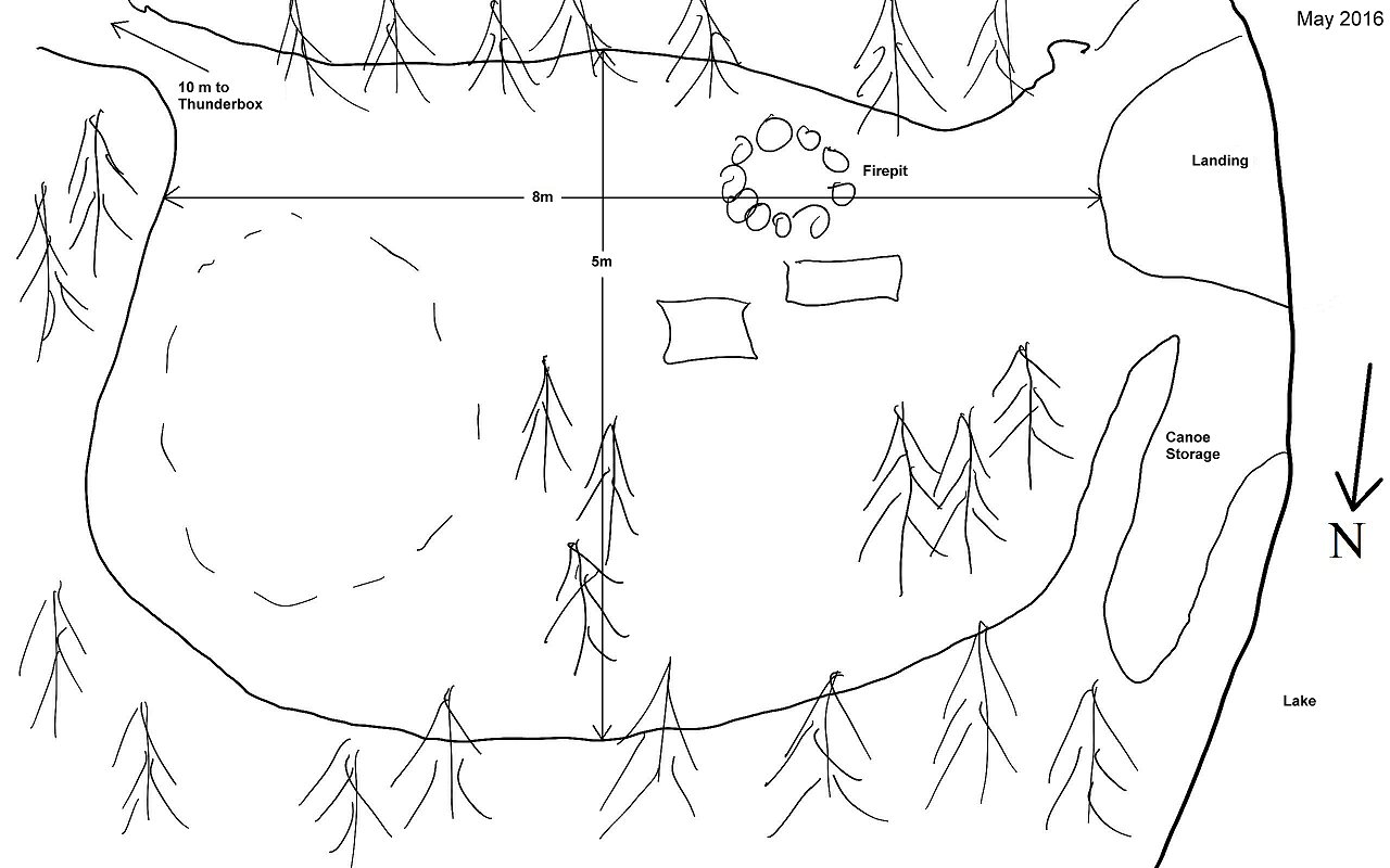
Size of open area: 8m x 5m.
Extent of tree cover: 50% cover, open at firepit.
Degree of levelness: Level site.
Number of level tent sites: 1.
North exposure: Trees.
East exposure: Trees.
South exposure: Trees and lake.
West exposure: View of lake and trees.
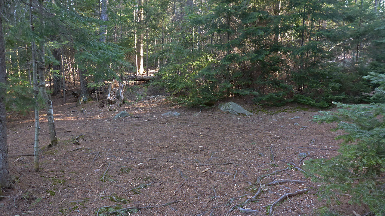
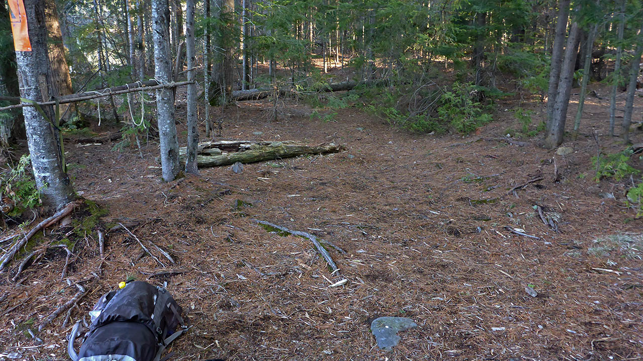
General description: A small, and level site with 1 tentpad that could accomodate a 4-person tent as most of the other ground is rooty and rocky. Open to the afternoon sun at the firepit. .
Overall accessibility: Shallow water at the landing, and once the canoe is unloaded, you are on the site.
Tenting area east of the firepit ...
![]()
Small area north of firepit could hold a small tent ...
![]()
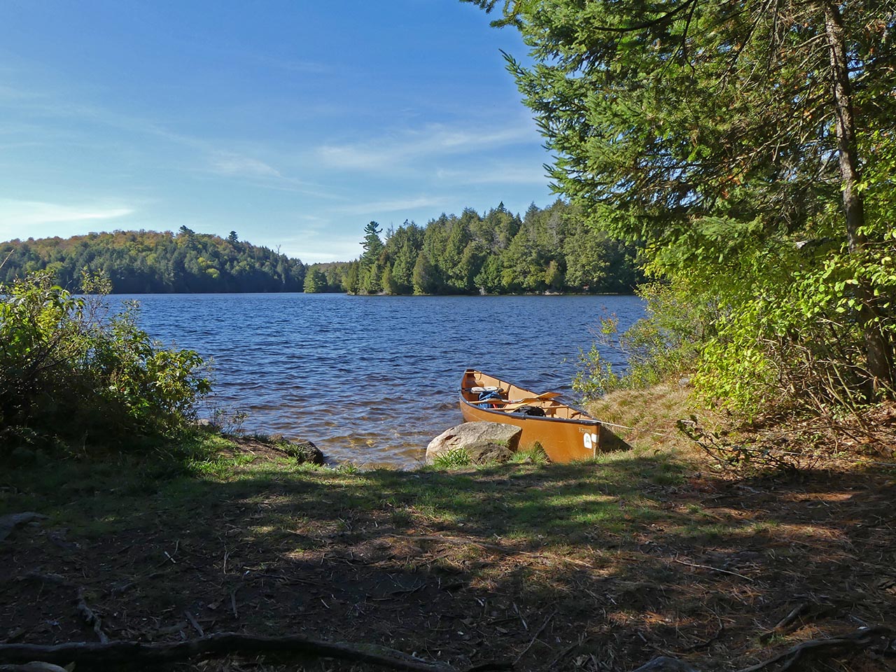
Looking southwest across the lake (Photo: B. Bridgeford, Oct. 2017) ...
![]()

Thanks to Jeffrey McMurtrie of Jeff'sMap for supplying the base-layer map component by Creative Commons licensing.
Submitted by Chris Taylor .. Visited May 2016 .. Submission August, 2016
