 Shippagew Lake Campsite #2
Campsite Location
GPS - UTM location: N45° 46.974' W78° 41.498' (east side of lake).
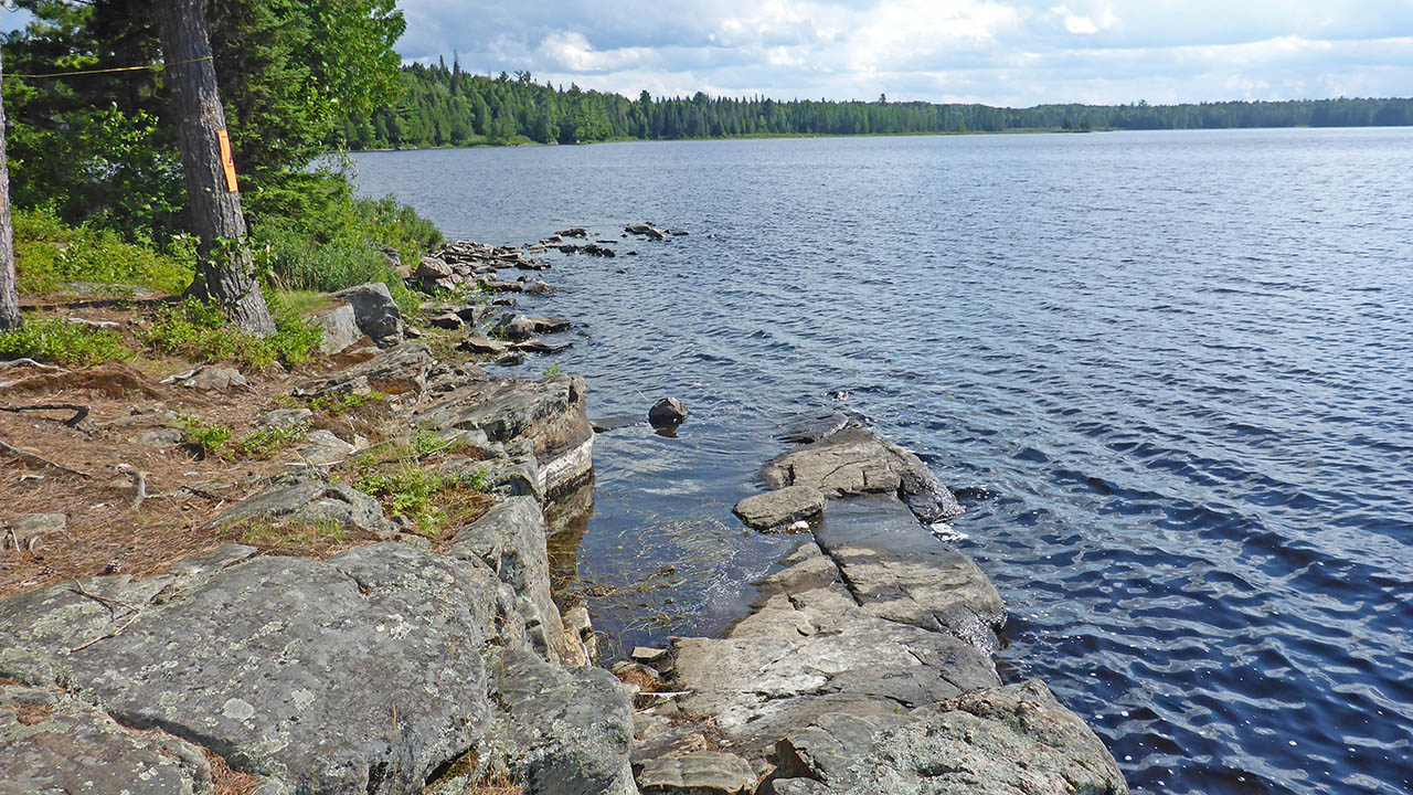
Landing
Topography of under-water approach: Small rock and gravel. Water is too deep to stand in.
Impediments to disembarking from and/or unloading a canoe: None, there is a natural slip that can accomodate one canoe.
Topography leading to tent sites: A smooth rock that elevates approx. 1m.
 |
|
| Natural slip to land or launch a canoe from. | |
 |
|
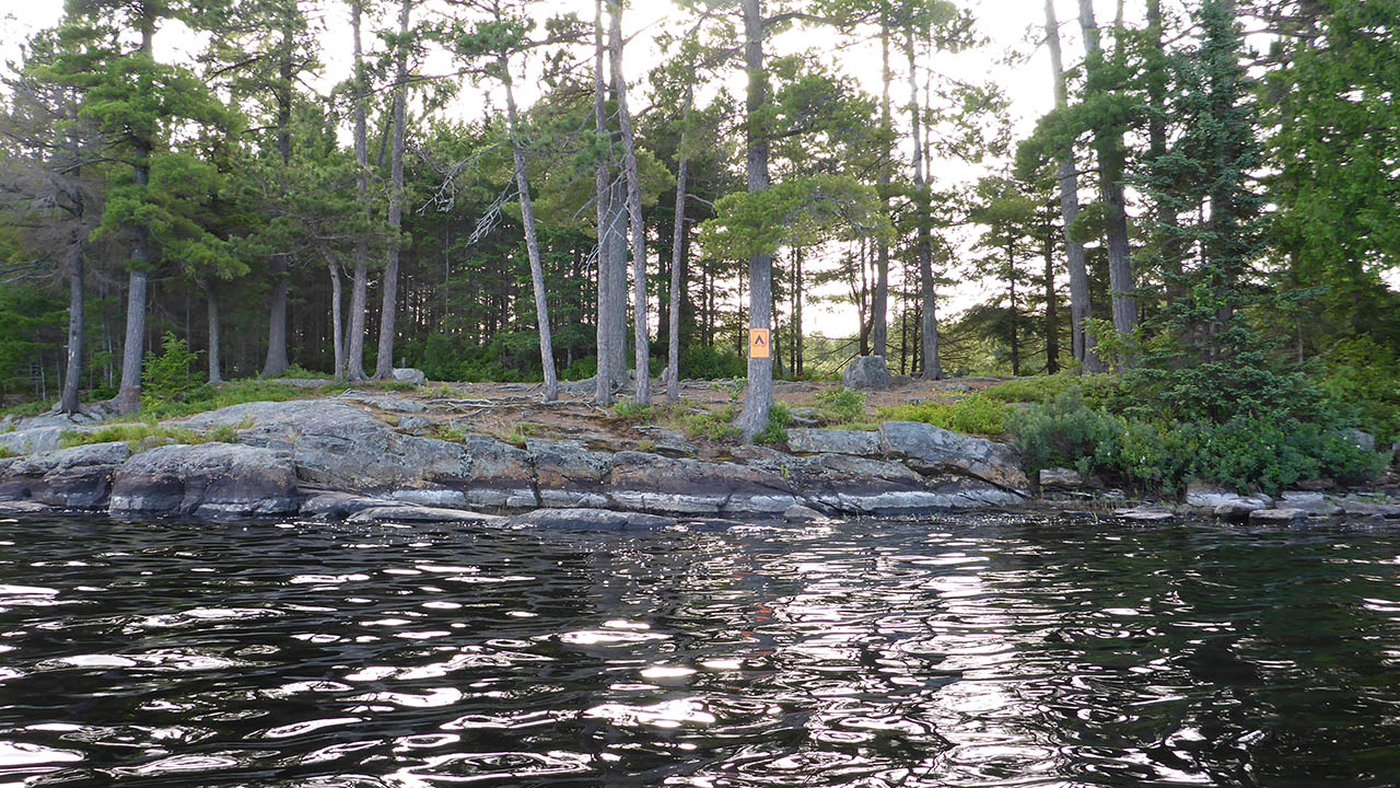
| View from the lake. | |
Campsite
Regular or low-maintenance: Regular
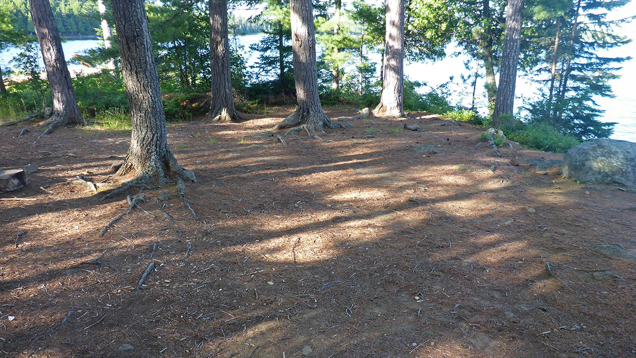
Size of open ground area: 20m x 10m.
Extent of tree cover: 30%.
Degree of levelness: Level, slopes slightly toward landing at front of site.
Number of tent sites: 4+.
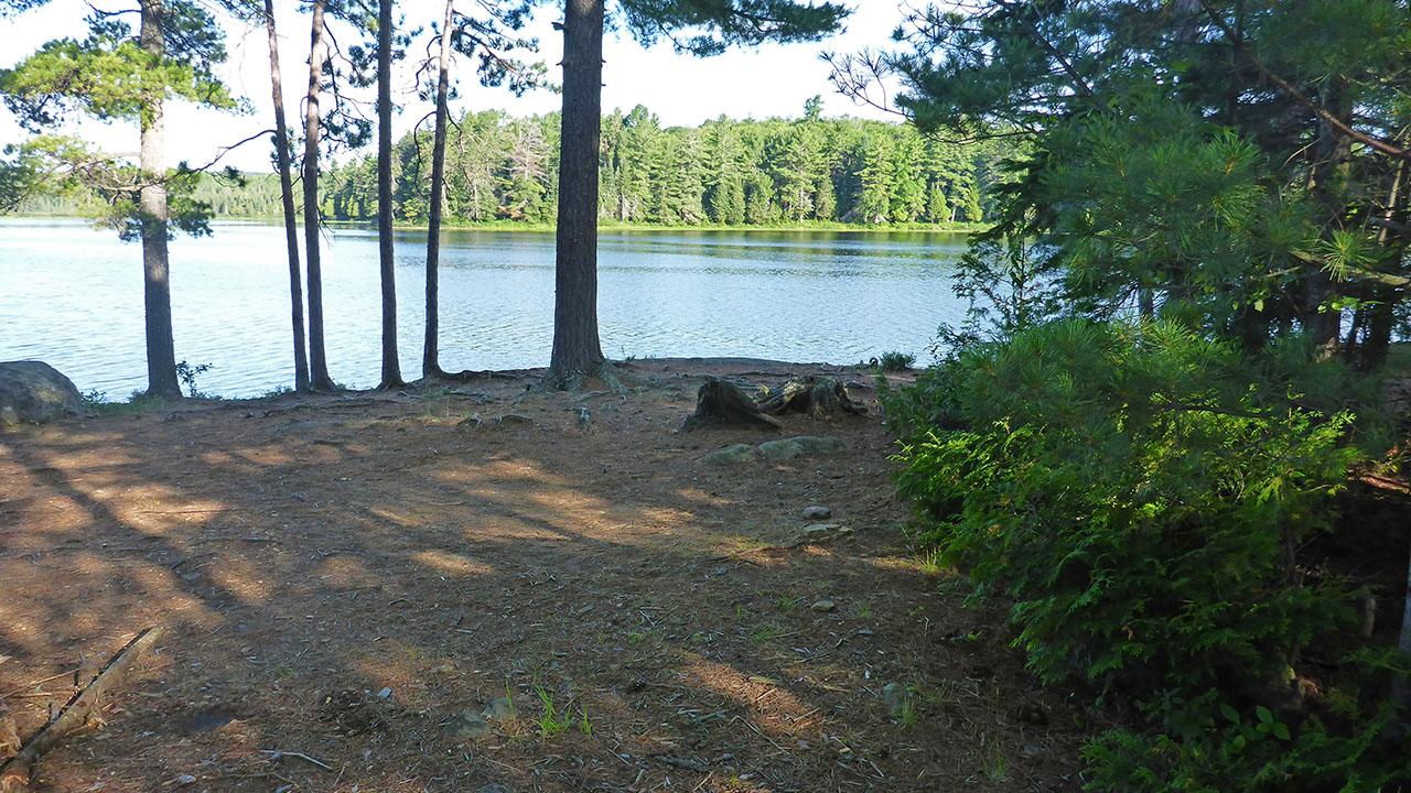
North exposure: Trees, view of lake.
East exposure: Trees, view of bay at back of site.
South exposure: Trees, view of lake.
West exposure: Open view of lake.
General description: Large open site located on a small penninsula. Numerous tenting options as site is generally flat with smooth ground. This site offers no protection from the wind, but is a very sunny site.
Overall accessibility: No accessibility issues.
 |
|
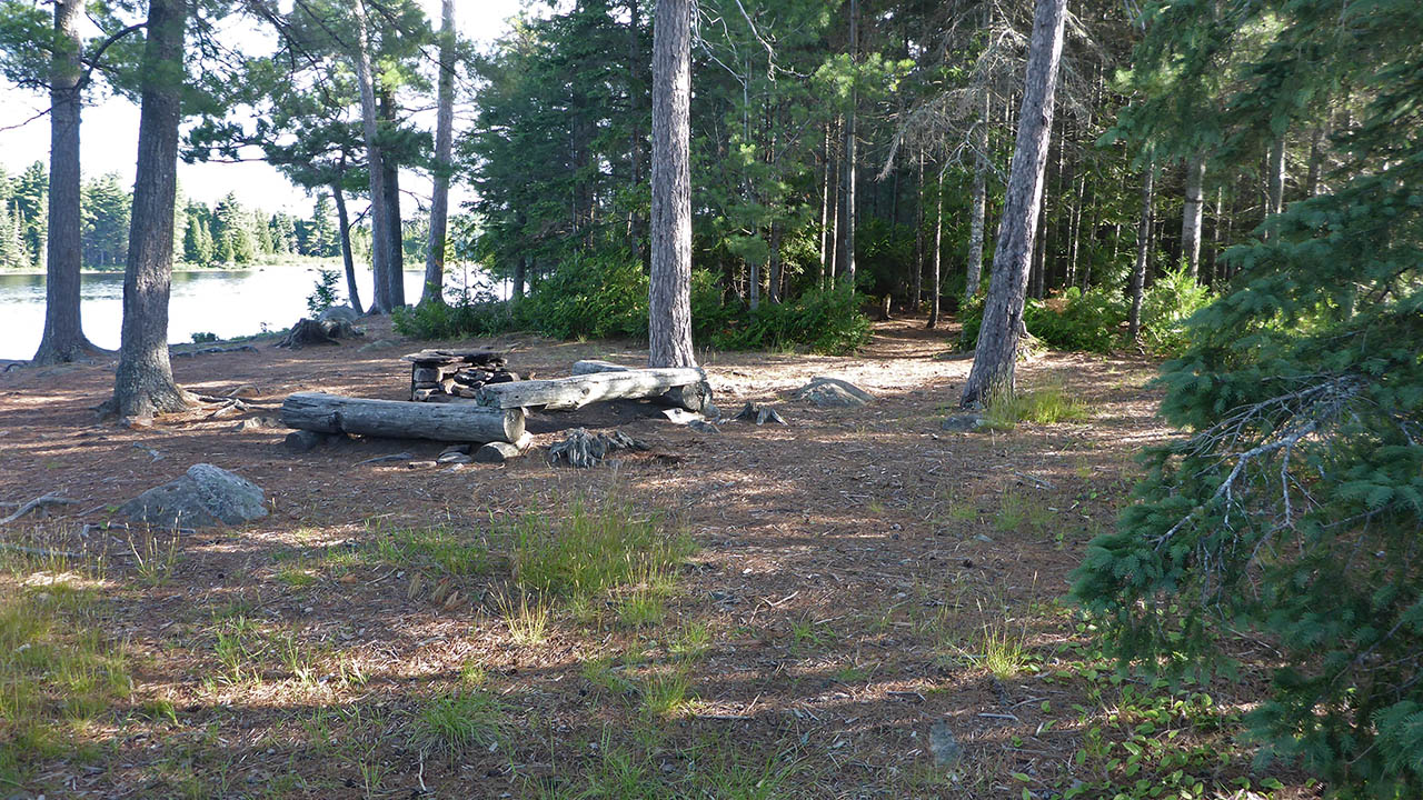
| Looking southwest from path to thunderbox. | |
 |
|
| Looking north from path to thunderbox. | |
 |
|
| View from southern corner of site, path to thunderbox can be seen. | |
 |
|
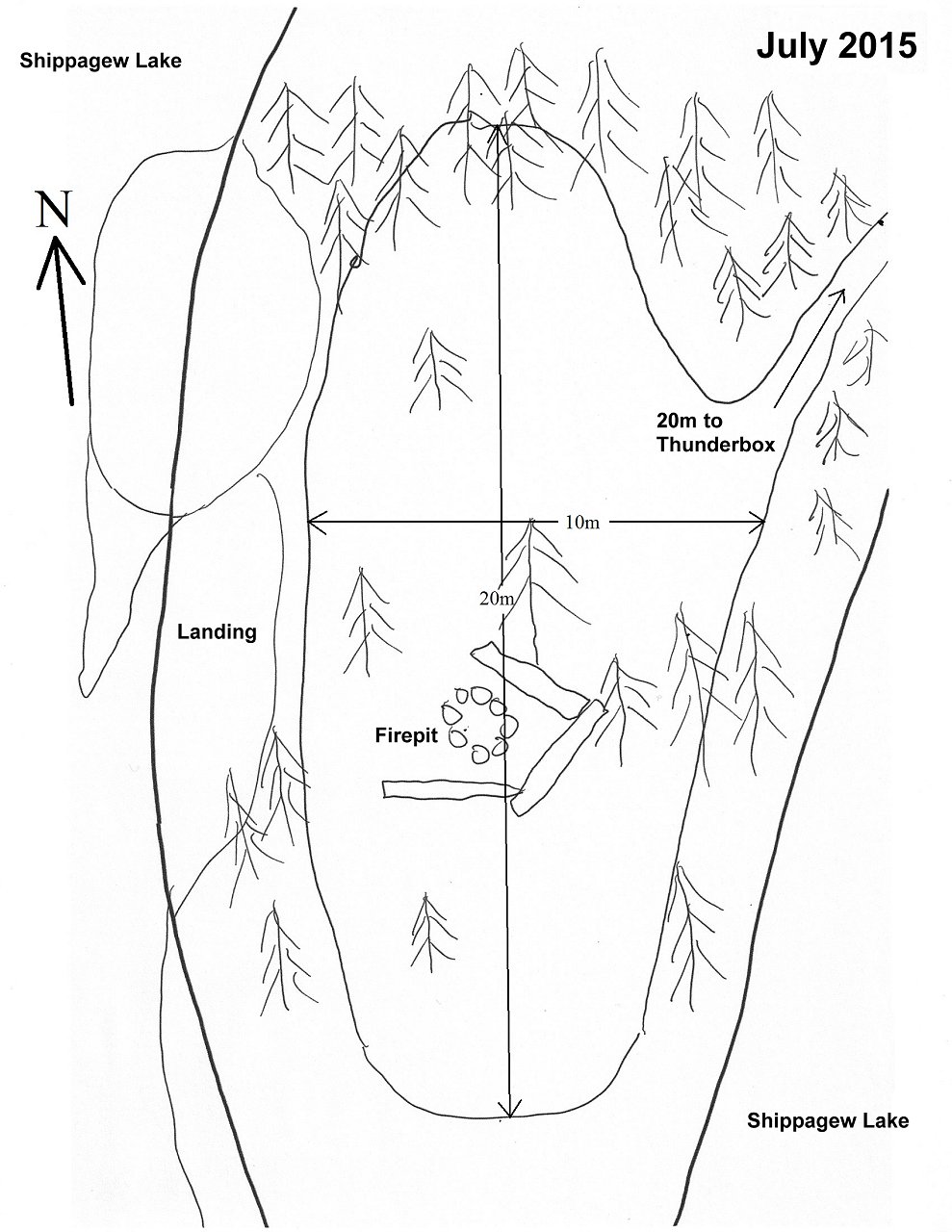
| Campsite diagram. | |

Thanks to Jeffrey McMurtrie of Jeff'sMap for supplying the base-layer map component by Creative Commons licensing.
Submitted by: Chris Taylor .. Visited 2015 .. Submission March 12, 2016