 Sec Lake Campsite #15 N45 49 25.3 W77 33 02.9
Landing
Topography of under-water approach: Sloped underwater shoreline over sandy, marl bottom that tapers into 10+ feet of water 40’ off shore.
Impediments to disembarking from and/or unloading a canoe: None – landing is framed on both sides by submerged timber, the odd root sticks out from shore. Water is shallow enough to step out in closer to shore and haul gear and boats up on to flatter area.
Topography to tent sites: Short climb up along rooted, hard earth bank to campsite area. Roughly 1.5 meter elevation from waterfront.
North-facing landing area ...

![]()
Rooted bank incline and campsite from water’s edge ...
![]()
View of landing, earthy bank and underwater composition ...
![]()
Campsite
Regular or low-maintenance: Regular.
Size of open area 70’ x 80’.
Extent of tree cover: 50% canopied over firepit/kitchen area on main pt, 75% canopied within selected tenting location.
Degree of levelness: Sufficiently flat around campsite.
Number of level tent sites: 3 flat sites each adequate for <=6 person tents.
North exposure: Landing and campsite exposed to the north winds, but proximity to lake’s northern shoreline will act as nice buffer.
East exposure: Landing and tent site protected from east winds.
South exposure: Landing and tent site protected from south winds.
West exposure: Landing and tent site protected from west winds. Strong N-West winds may be an issue.
General description: Comfortable campsite with sufficient room for larger groups. Decent mottled sun exposure during the day. An OK swimming spot – water drops off into 4m+ depths not far from shore. Main firepit exposed to strong northern winds, but metal insert acts as a good windbreak and fire-control mechanism. Thunder box located south-east of campsite. No issues with firewood. Campsite very flat overall. Fair to poor sunset views but no sunrise views.
Overall accessibility: Fair to good.
Looking east through campsite ...
![]()
Site’s firepit is bordered by metal insert and rocks ...
![]()
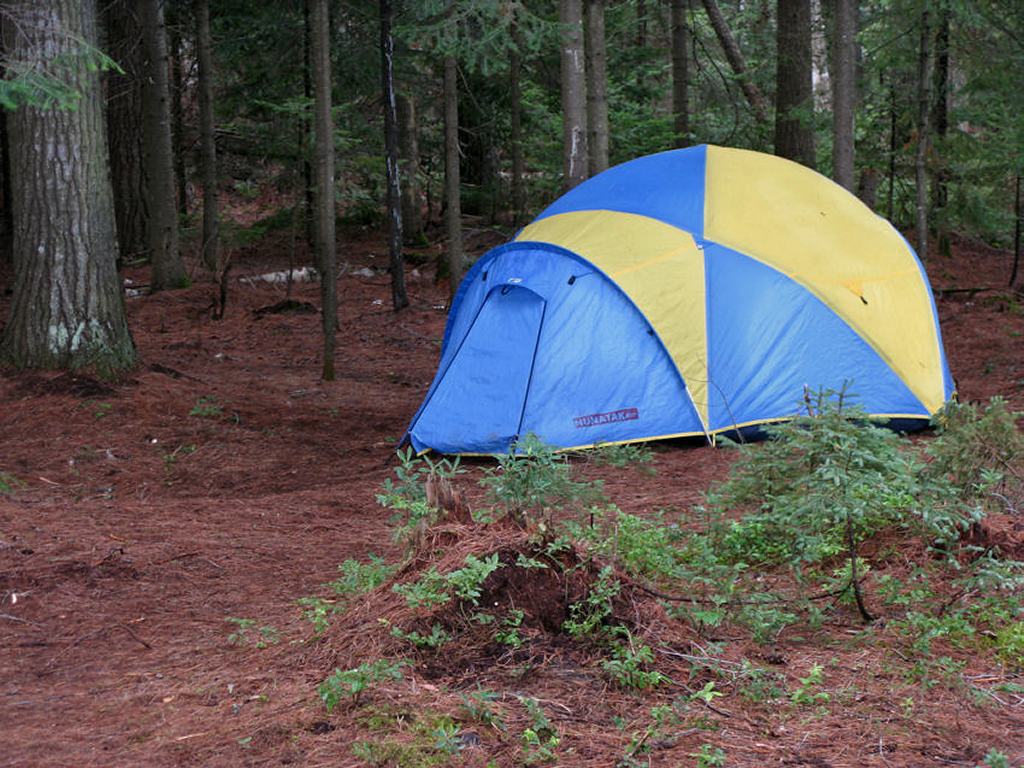
One of the 3 spacious and flat tenting locations ...
![]()
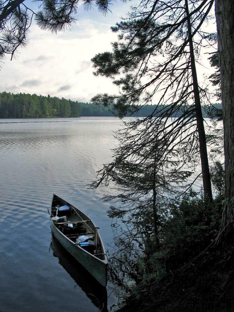
View north-east from campsite, looking back down the lake towards access ...
![]()
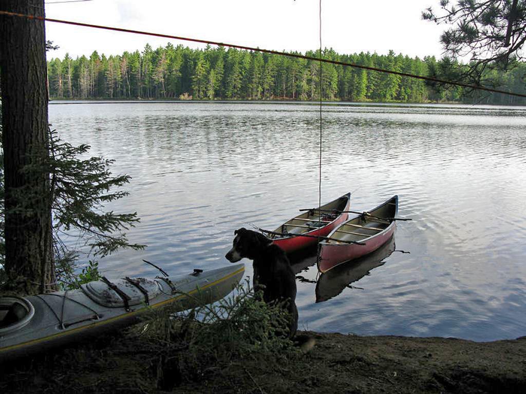
View north from campsite ...
![]()
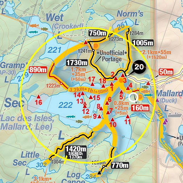
Thanks to Jeffrey McMurtrie of Jeff'sMap for supplying the base-layer map component by Creative Commons licensing.
Submitted by Stephen Molson .. Visited June, 2010 .. Submission February, 2011