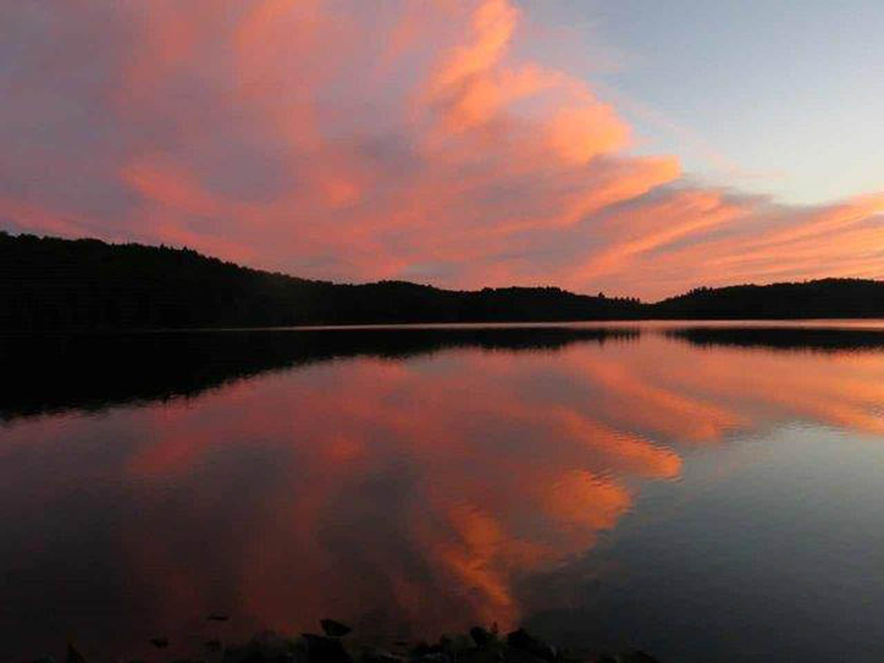
 Ragged Lake Campsite #6
Landing
Topography of under-water approach: Gravel beach, no sand, shallow and easy.
Impediments to disembarking from and/or unloading a canoe: None.
Topography to tent sites: very steep.
Looking down from the upper level, to the firepit and lake ...
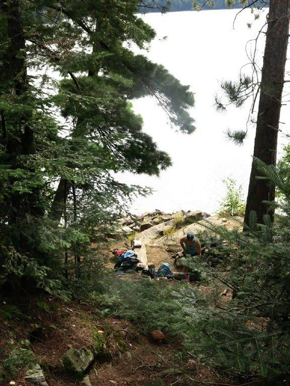
![]()
Looking up to the firepit level, and the tentsite level beyond ...
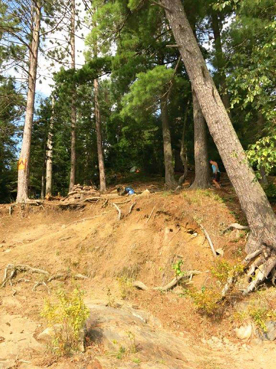
![]()
Looking up from the firepit level to the tentsite level ..
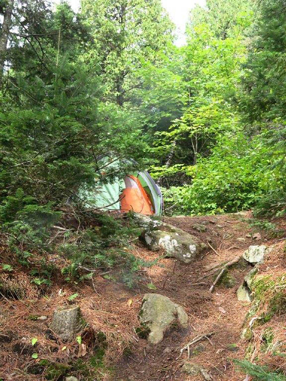
![]()
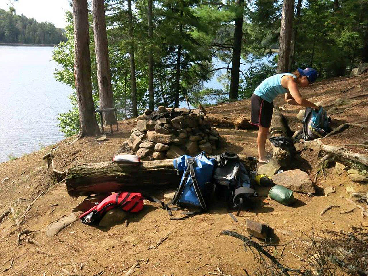
Firepit area, overlooking the lake ...
![]()
Campsite
Regular or low-maintenance: Regular.
Size of open ground area: Only the beach.
Extent of tree cover: 100%.
Degree of levelness: 2 small level tent pads.
Number of tent sites: 2.
North exposure: You can see the lake through the trees.
East exposure: Trees and the hill.
South exposure: You can see the lake through the trees.
West exposure: Lake.
General description: Very eroded and very steep .. spread on 3 uphill levels .
Overall accessibility: While the landing is easy, the steep and rough grade up to the campsite is a definite challenge to access.
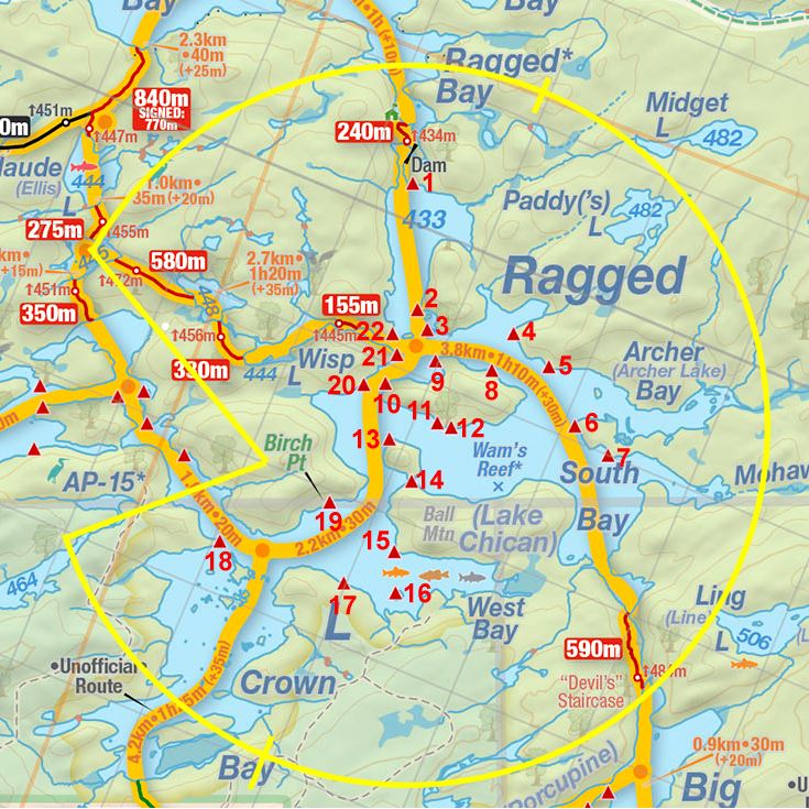
Thanks to Jeffrey McMurtrie of Jeff'sMap for supplying the base-layer map component by Creative Commons licensing.
Submission September 30th, 2018 by Wanda Spruyt .. visited September 6th, 2018
