 Ragged Lake Campsite #13
Landing
Topography of under-water approach: Gravel landing from the west side. Rocky landing from the north-east.
Impediments to disembarking from and/or unloading a canoe: None.
Topography to tent sites: Coming up from the landing, there is about a 4 meter elevation leading to the firepit and the main tent site areas.
Topography to tent sites: Coming up from the west landing, there is a 1.5 meter “dirt wall” to climb up to the firepit. It is recommended to use the east landing which has about a 2 meter incline up to the core. There is one medium tent pad on the same level as the fire pit, and one large pad nearer to the east landing.
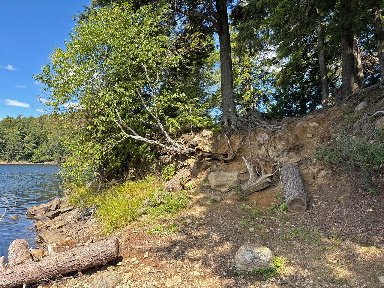
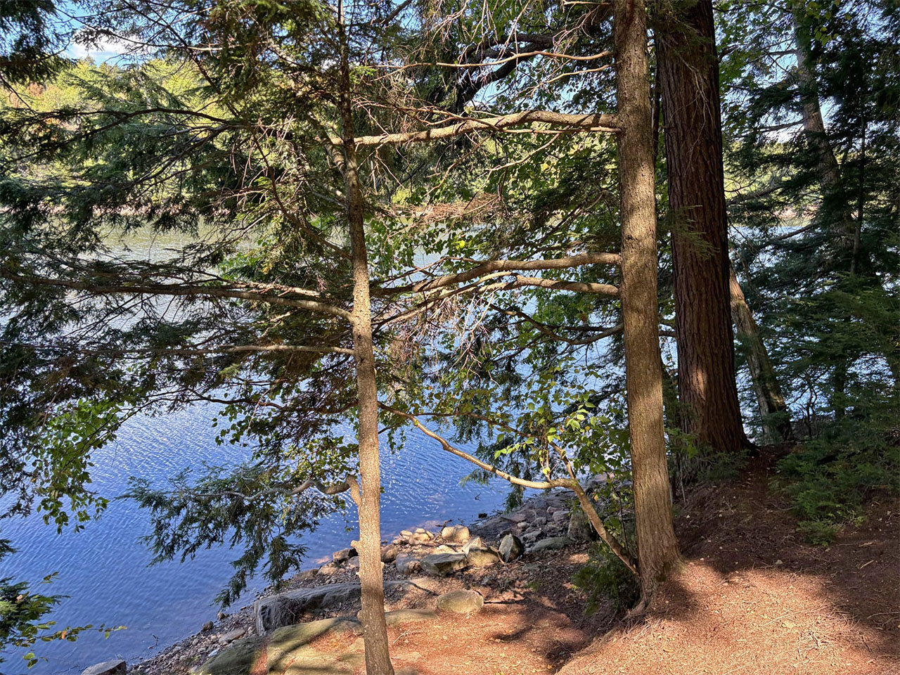
Looking east at the gravel landing and “dirt wall” climb up to the site ...
![]()
Looking west from the easy gravel landing ...
![]()
Looking north from the gravel landing to show the “dirt wall” climb up into the site ...
![]()
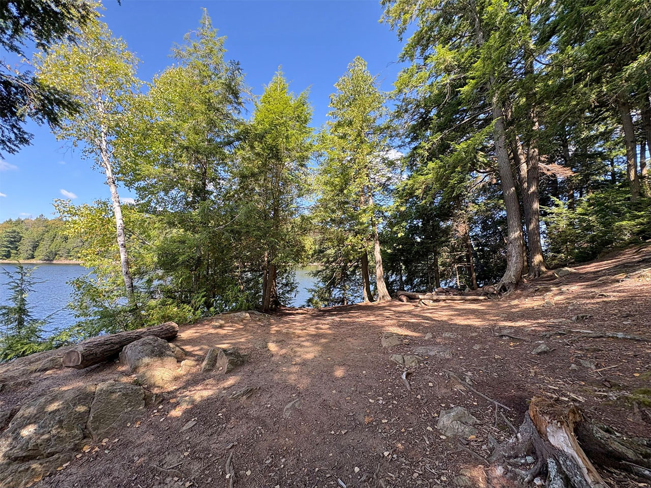
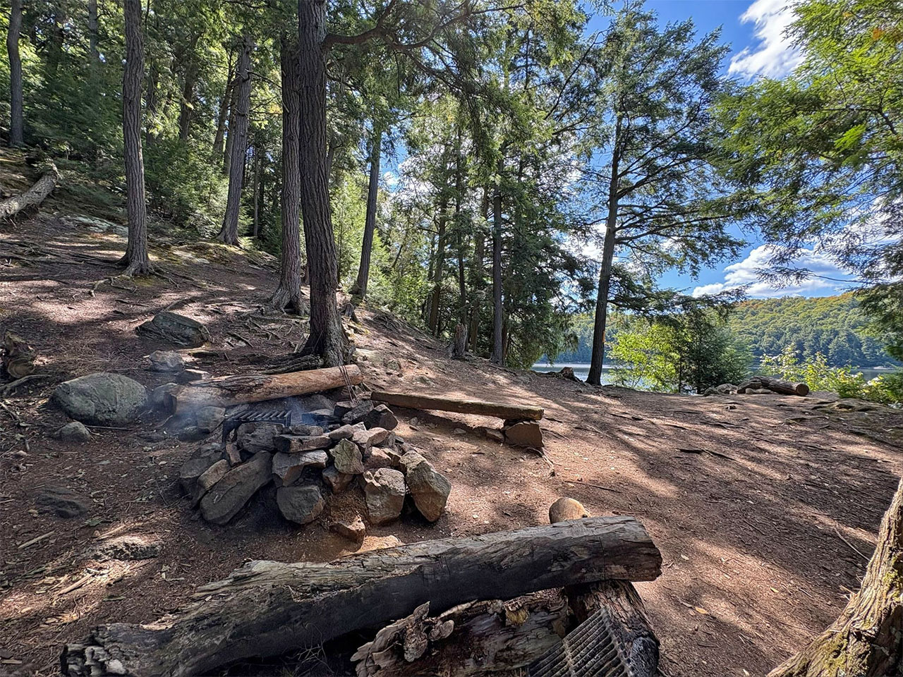
Looking north, up from the “dirt wall” climb, showing the most-level (and exposed) area with the firepit to the right ...
![]()
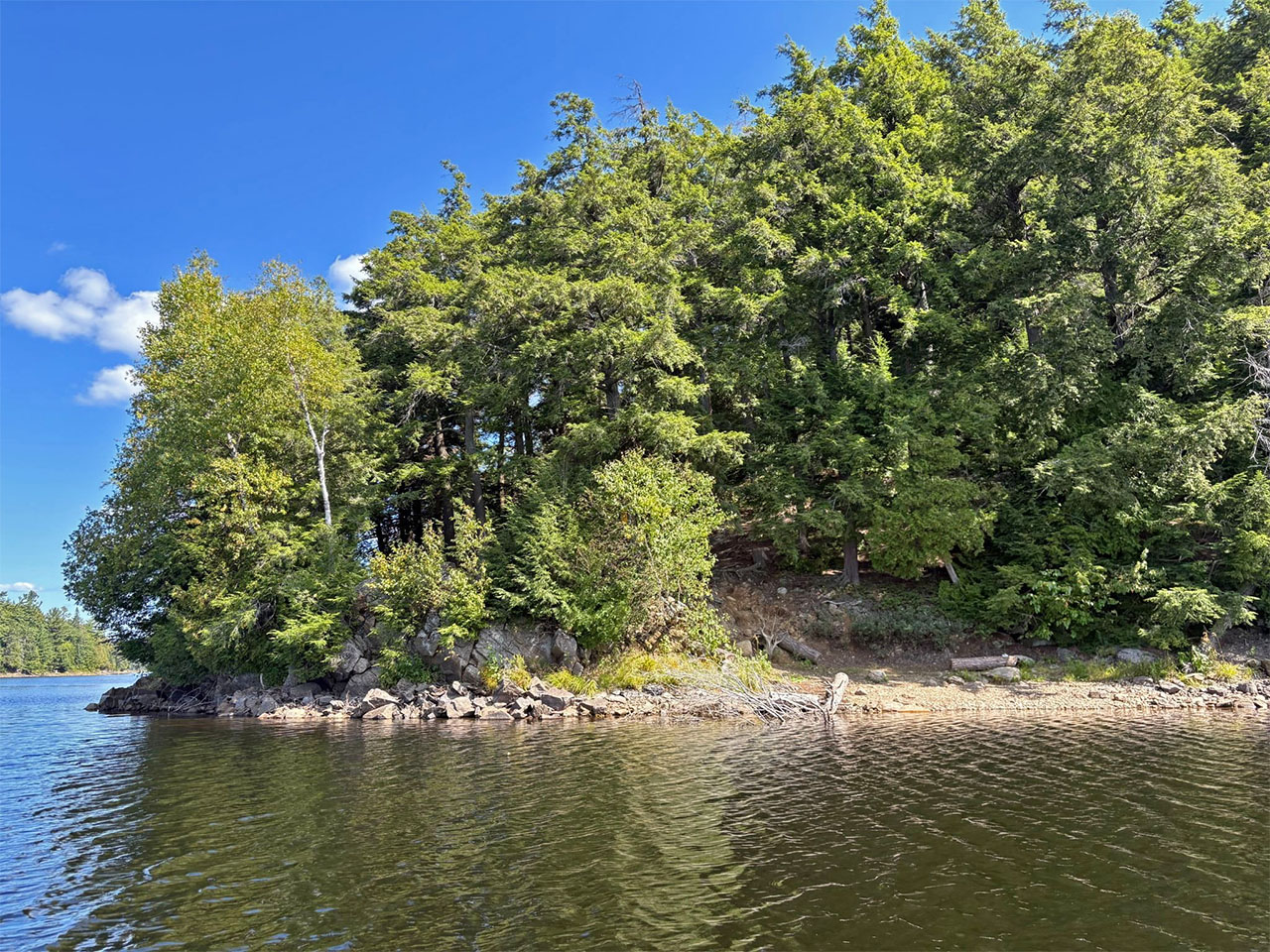
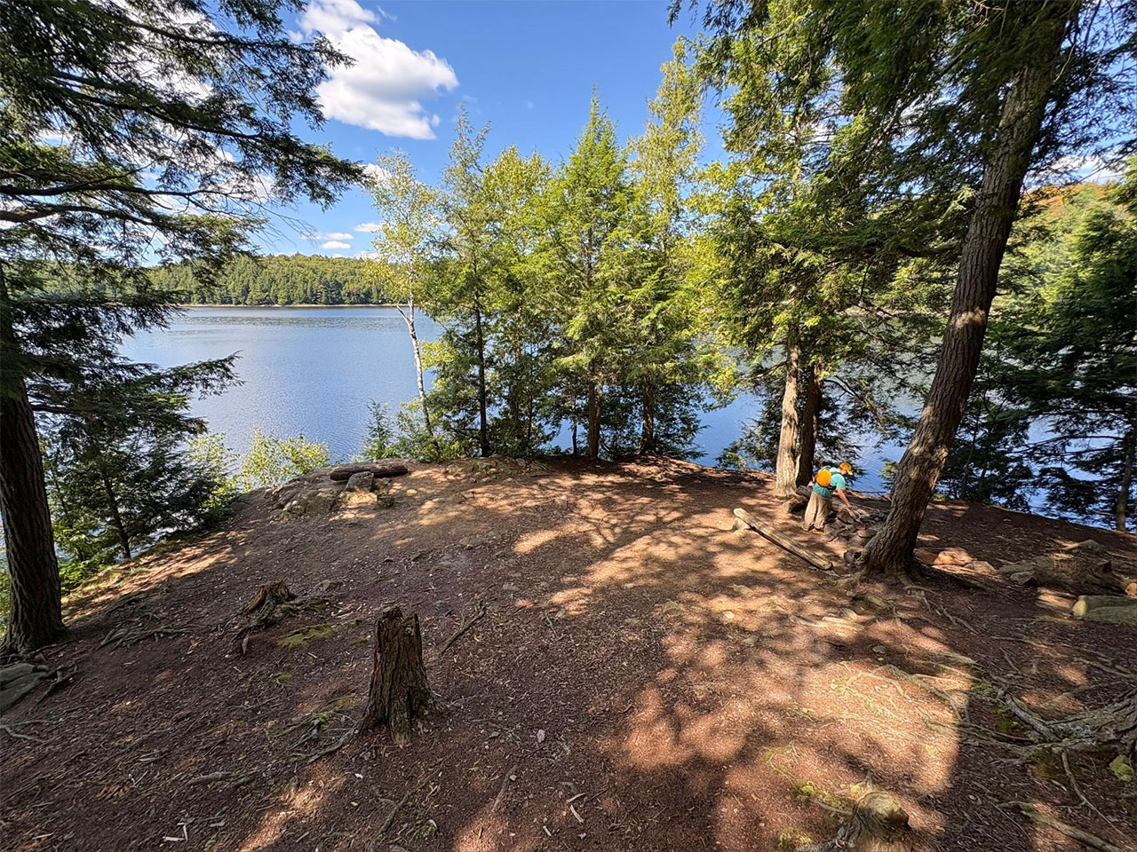
Looking north east there appears to be a much more accessible, but rockier, boat landing area. This access point is recommended ...
![]()
Campsite
Regular or low-maintenance: Regular.
Size of open ground area: Open, large.
Extent of tree cover: The east landing tent site has tree coverage, but the area near the firepit and west landing are exposed.
Degree of levelness: Fire pit and tent sites are level.
Number of tent sites: 2.
North exposure: Lake.
East exposure: Trees.
South exposure: Forest and hill.
West exposure: Lake.
Looking west over the firepit to show the heavily sloped site on the left and the view of the lake to the right.
The site is vacant, but the previous tenant left some embers smoldering… we extinguished it ...
![]()
Looking north from up the site’s slope showcasing the exposure and lake views....
![]()
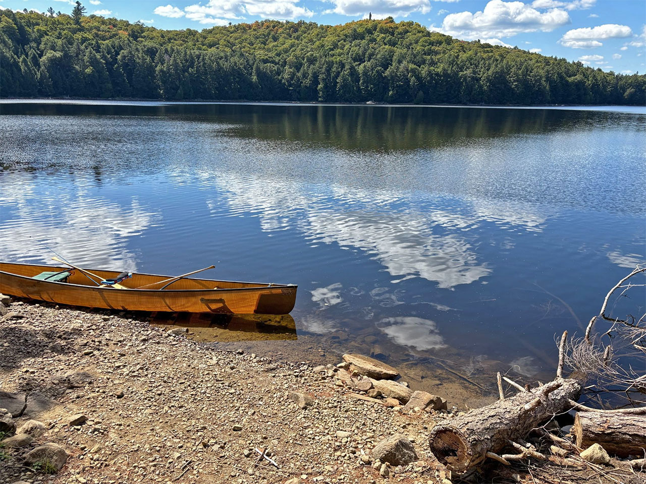
General description: A medium sized campsite that is on the side of a hill with room for only a couple tents to comfortably set up. It should have an incredible view of the sunset and swimming should be okay as it is clear and deep all around.
Overall accessibility: The east landing is easy and has safe access to the site. There is a treacherous hike up to the thunderbox. Overall a lower accessibility score.
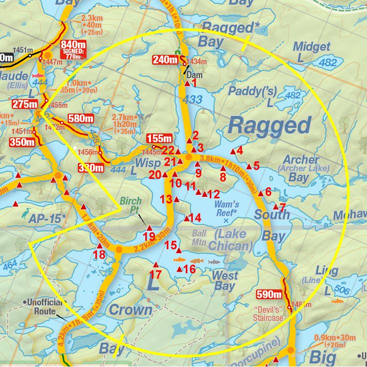
Thanks to Jeffrey McMurtrie of Jeff'sMap for supplying the base-layer map component by Creative Commons licensing.
Submission: June 2026 by Matthew Guenette .. visited September, 2025