 Pinetree Lake Campsite #1
Landing
Topography of under-water approach: Shallow, rocky landing on southern shore. May have been easier to unload from the large rocks on the northwestern shore, but we decided against that.
Impediments to disembarking from and/or unloading a canoe: The southern shore is full of grafruit-sized stones. It gets easier/cleaner closer to the southwestern-most point of the site.
Topography to tent sites: The climb to the site is very steep.
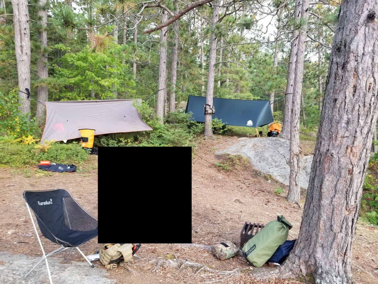
 |
|
| Looking inwards/east to the campsite. | |
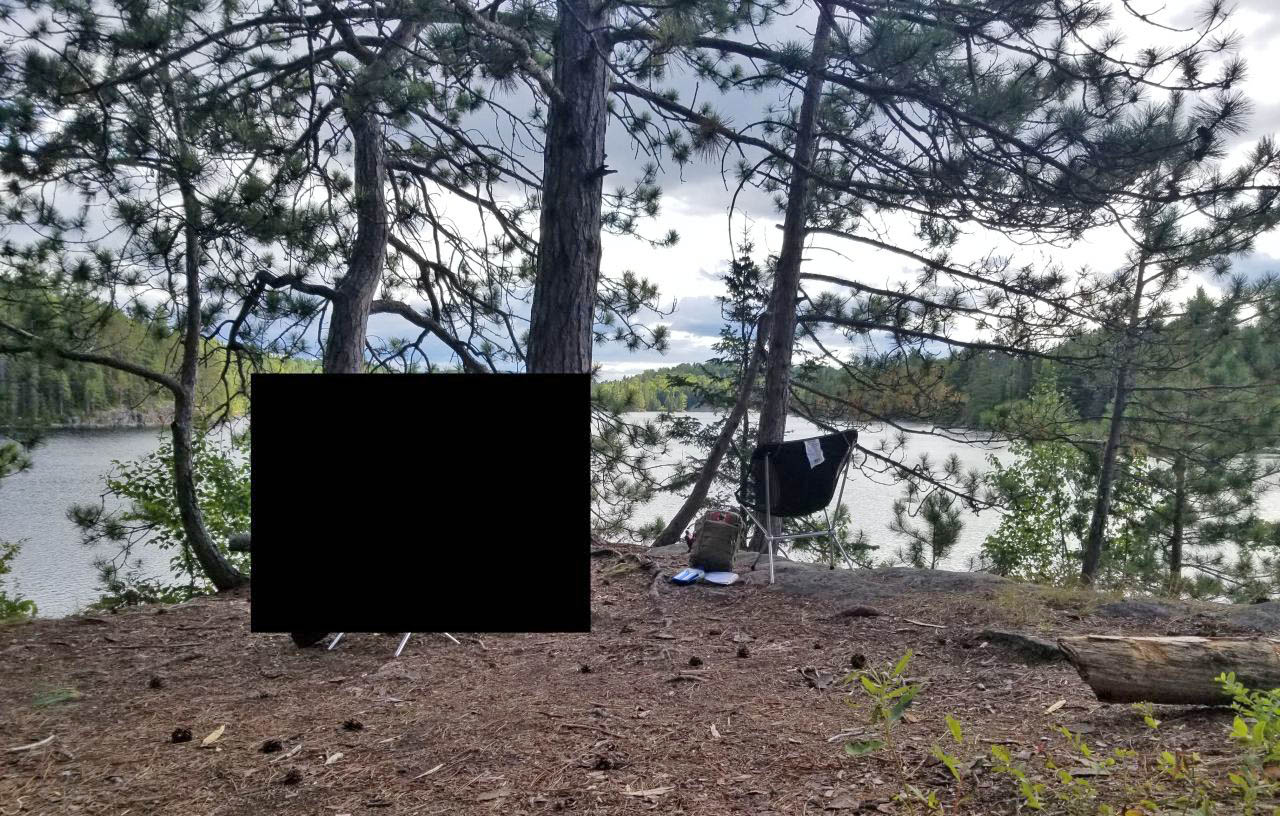
 |
|
| Looking south onto the lake. The firepit is downhill from the large tree in the center. | |
Campsite
Campsite maintenance: Regular
Open ground area: Plenty.
Degree of levelness: Most of it not level and unsuitable for tents.
Number of tent sites: We found one decent-enough tend pad on a "shelf" about 15M inland from the firepit.
General description: The firepit is lodged between a large tree and the southern edge of the site. The seating area has your back to the lake (and a steep drop) - not ideal. This very high campsite is almost fully exposed on all sides except the east. It is a steep climb to the site no matter which landing is used.
Overall accessibility: I would rate accessibility as low.
If anyone has additional photographs of this campsite, please submit them so this record can be expanded.
 |
|
| Thanks to Jeffrey McMurtrie of Jeff'sMap for base-layer map component by Creative Commons licensing. | |
Submission by "scratchypants" (forum handle) .. submitted 2019-09-03 .. visited 2019-08-23