 Pen Lake Campsite #5
Landing
Topography of under-water approach: The rock point itself is unsuitable for landing. Paddle to west side of the point where a small shallow beach is usually out of the wind and waves.
Impediments to disembarking from and/or unloading a canoe: There's room to comfortably pull only one canoe at a time, out of the water and up beyond the beach.
Topography to tent sites: Slight slope with a very short trail leading to the campsite.
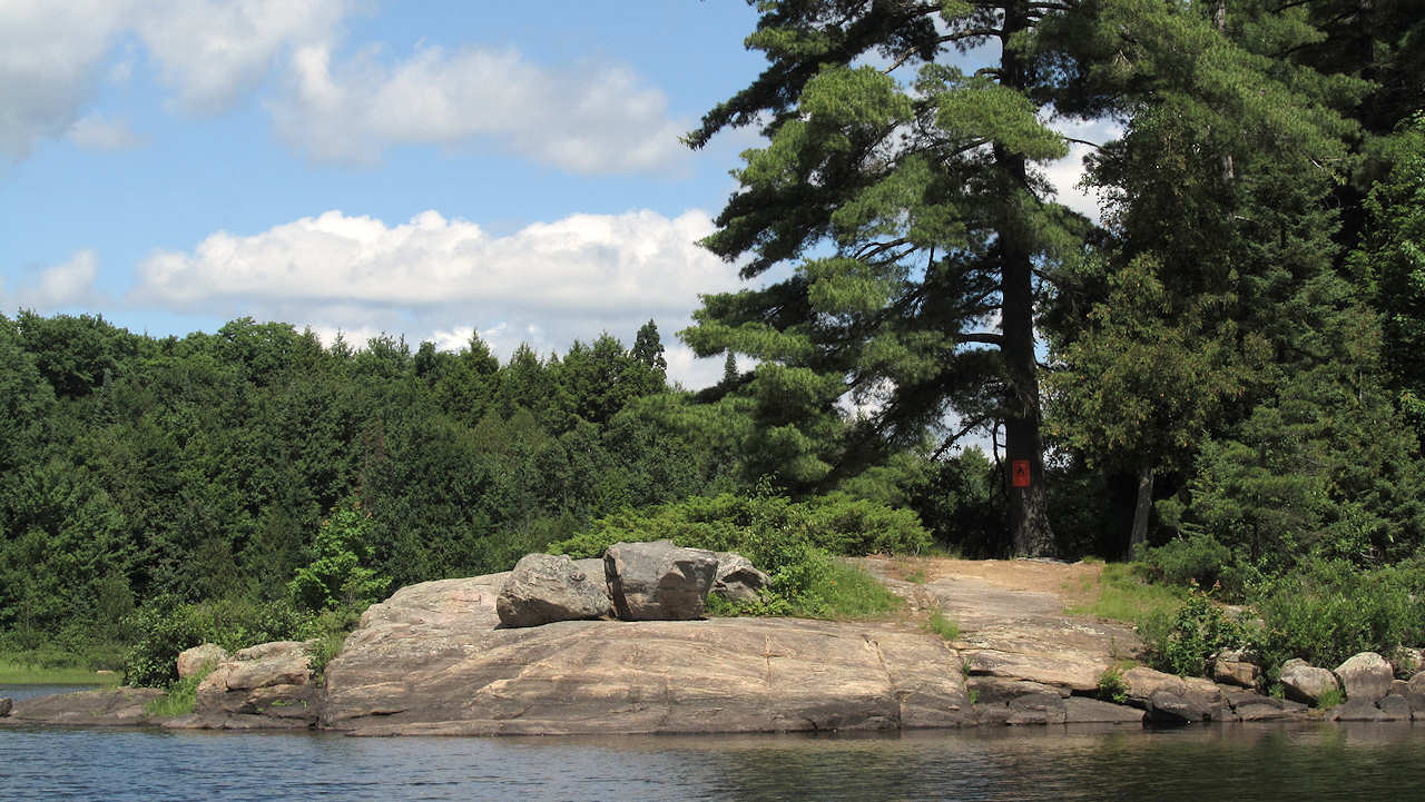
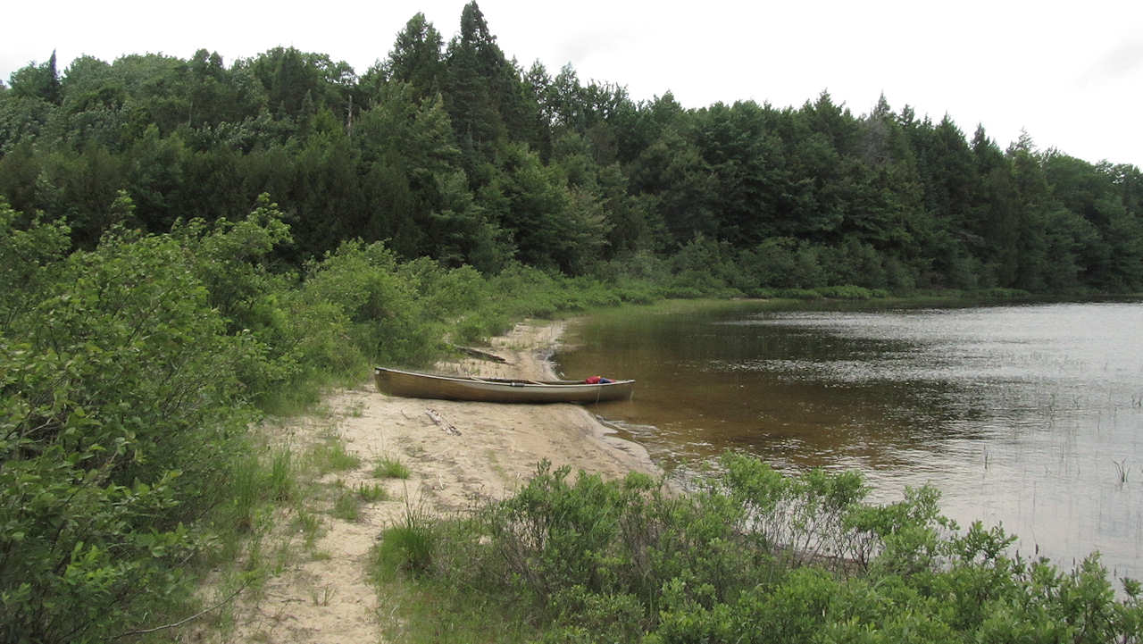
The sandy landing is around the south-facing point, to the left (west) ...
![]()
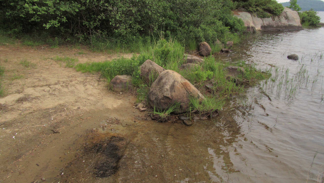
Enough room to unload gear prior to carrying it inland ...
![]()
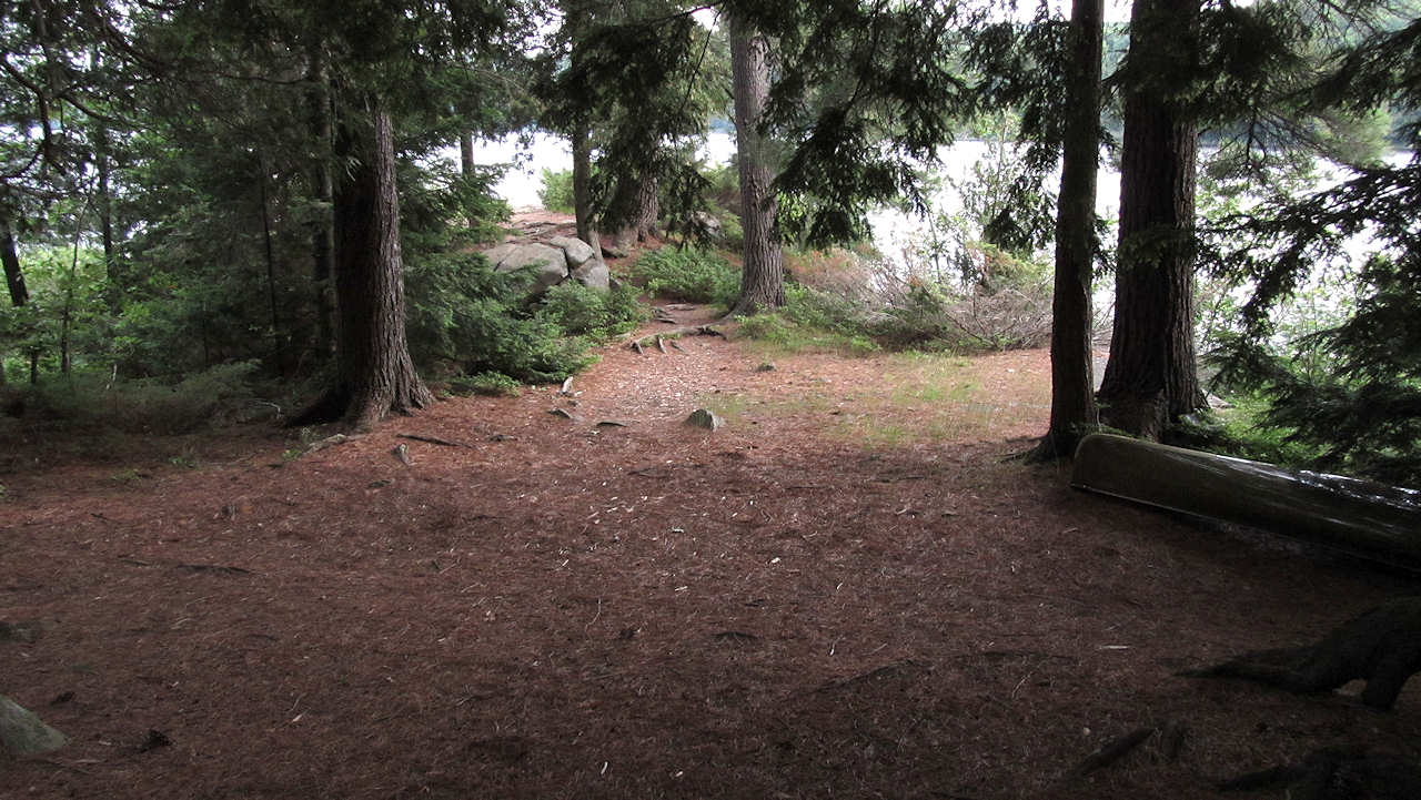
Looking westward at the same spot ...

![]()
Campsite
Campsite maintenance: regular
Size of open area: 30' x 60'.
Extent of tree cover: Pretty heavy tree cover over actual campsite, comprised of large older trees, free of low branches. The entire island is covered with similar older trees. Once you get back a bit, this openess takes away from privacy around the privy, since not that far away is the privy of the campsite on the island's north end. However, park staff have solved that problem by erecting 'outhouses' instead of 'thunder-boxes'.
Degree of levelness: Very level over a large area.
Number of level tent sites: Ample area for many tents.
North exposure: Island's trees block the north wind pretty effectively.
East exposure: Area of dense trees blocks east winds.
South exposure: Line of trees block the view, but aren't dense enough to block all the wind, if its out of the south. It is worth pointing out that southwest of the actual shaded campsite is a large rock point, ideal for partaking of the sun and/or wind!
West exposure: The line of trees continues around the west side of the site.
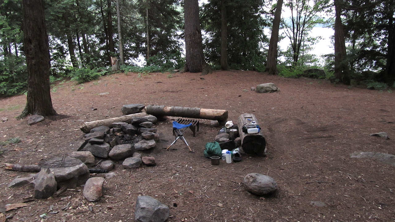
The firepit is located in the east half of the campsite's main open area. This shot is looking south ...
![]()
Here's the west half of the campsite's main open area, looking southwest ...
![]()
This tent was pitched further inland, for protection from a strong wind out of the south ...
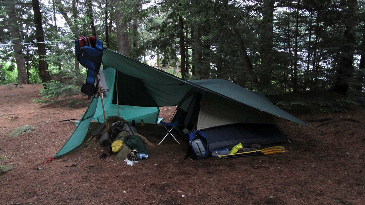
![]()
Mid-island are the two campsites' 'outhouses', located a respectful distance apart ...
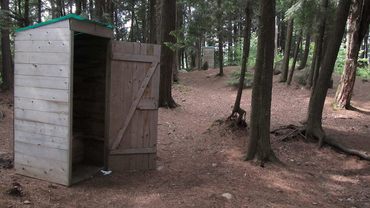
![]()
Here's looking due south, out across the rock point that catches the sun until very late in the afternoon ...
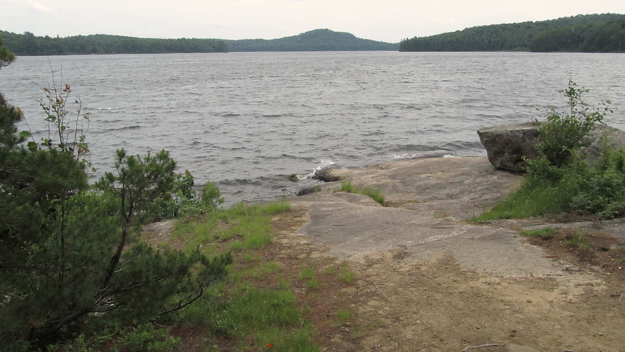
![]()
General description: Good for large group, with ample area for many tents.
Overall accessibility: Easy to unload at westside beach, except its narrowness could require 'staggered' unloading.
Note: Should strong winds out of the south be a problem when you're approaching from the north, there's an alternate sheltered landing on the north beach of the 'sand-spit' which joins the island to Pen Lake's west shore. A short walk along the beach and through the island forest allows one to reach the campsite. However, this approach won't allow you to pre-determine if the campsite is occupied. So, don't start hauling your gear and canoe until you've verified the campsite is available!
![]()

Thanks to Jeffrey McMurtrie of Jeff'sMap for supplying the base-layer map component by Creative Commons licensing.
Submission May, 2013 by Barry Bridgeford .. visited June, 2012