 Opeongo Lake South Arm - Campsite #68
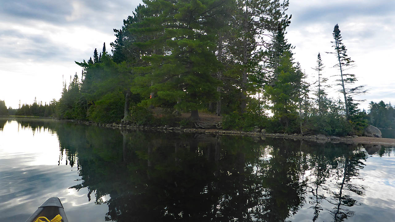
Landing
Topography of under-water approach: Gravel, shallow water.
Impediments to disembarking from and/or unloading a canoe: None.
Topography leading to tent sites: Uphill carry to tenting area.
|
|
| Landing on the point is the best option. | |
|
|
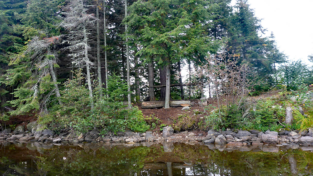
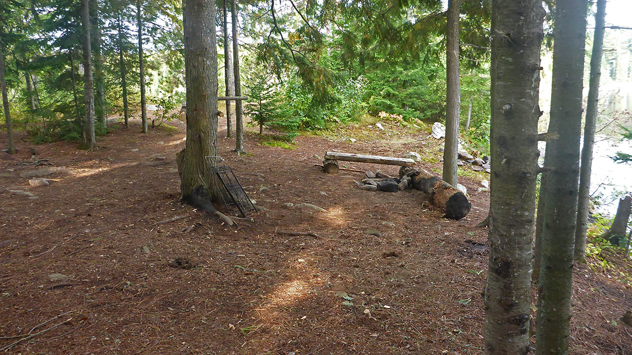
| The 2nd firepit seen from the north. | |
Campsite
Campsite maintenance: Regular.
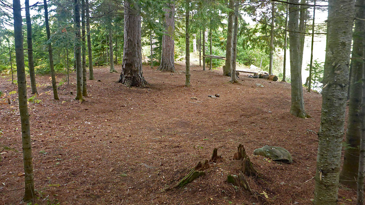
Size of open area: 25m x 8m.
Extent of tree cover: 100% at back half of site.
Degree of levelness: Firepit area is noticeably sloped, tenting area is good.
Number of level tent sites: 3.
North exposure: Channel to North Arm.
East exposure: trees.
South exposure: trees.
West exposure: water, eastern shore of lake.
General description: Even thou the area seems large, the first 15m are not useful for tenting (possible for a hammock). The tenting area is well protected, but open to the north. A 2nd firepit has been made in the tenting area, but I don't recommend using it as there are low hanging tree branches very close.Overall accessibility: No real issues, the climb to the tenting area is angled.
|
|
| The tenting areas seen from the east side of campsite. | |
|
|
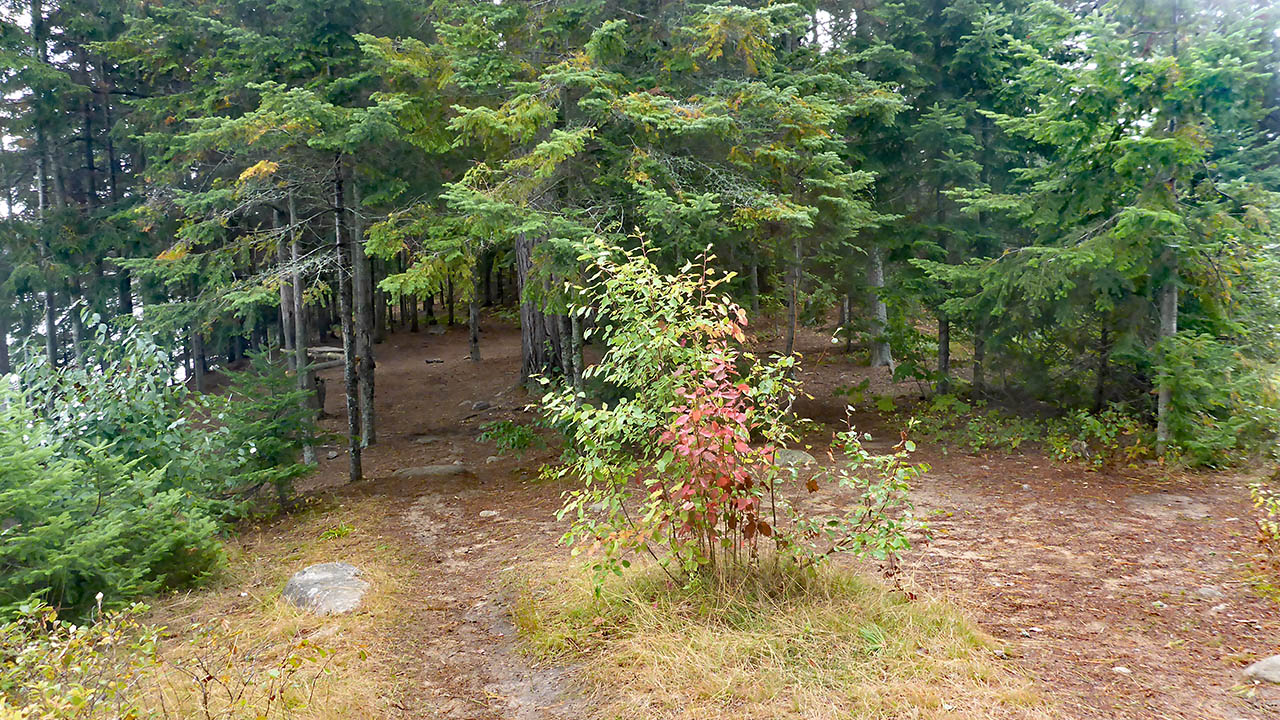
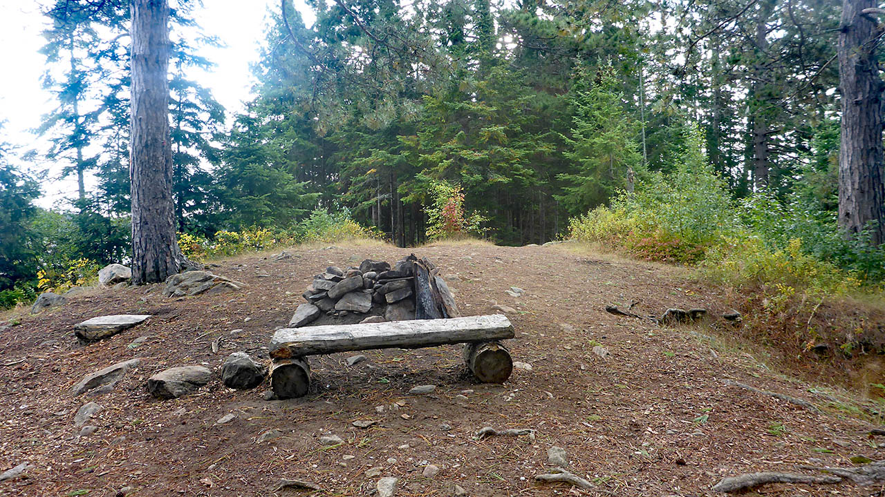
| Looking east from the top of the rise. | |
|
|
| The firepit at the front (west) of site. | |
|
|
| A 2nd firepit under the trees. | |

Thanks to Jeffrey McMurtrie of Maps By Jeff for supplying the base map.
Submitted by Chris Taylor .. Visited September, 2019 .. Submission April, 2020