 Opeongo Lake - East Arm Campsites #18 - #19
Location description/map/diagram: There are 3 designated campsites (official Algonquin campsite signs) between the portage to Wright(s) Lake and the cartpath to Dickson Lake. Different maps show a different number of campsites at this location. I have combined all 3 in this report as they are very similar in layout, and is difficult to distinguish between where one campsite ends and the adjacent campsite begins.
Landing
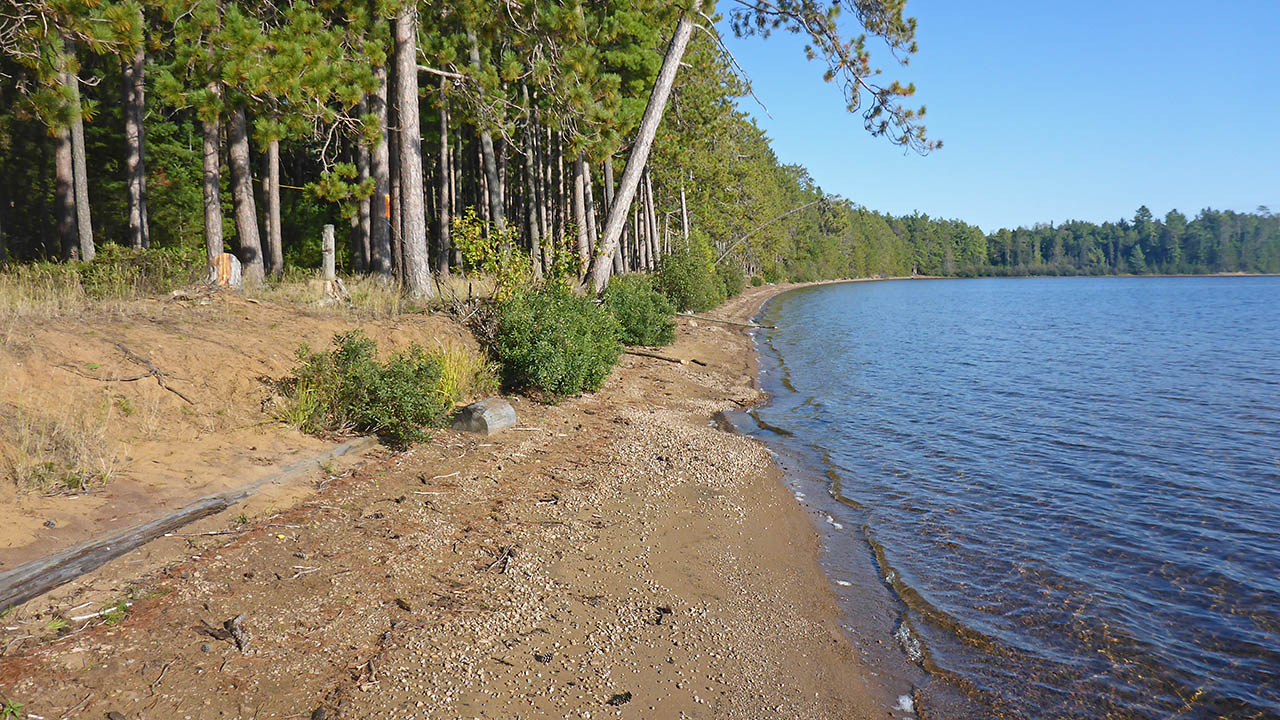
Topography of under-water approach: Shallow, sandy beach.
Impediments to disembarking from and/or unloading a canoe: None.
Topography leading to tent sites: A 1.5m rise to campsite.
|
|
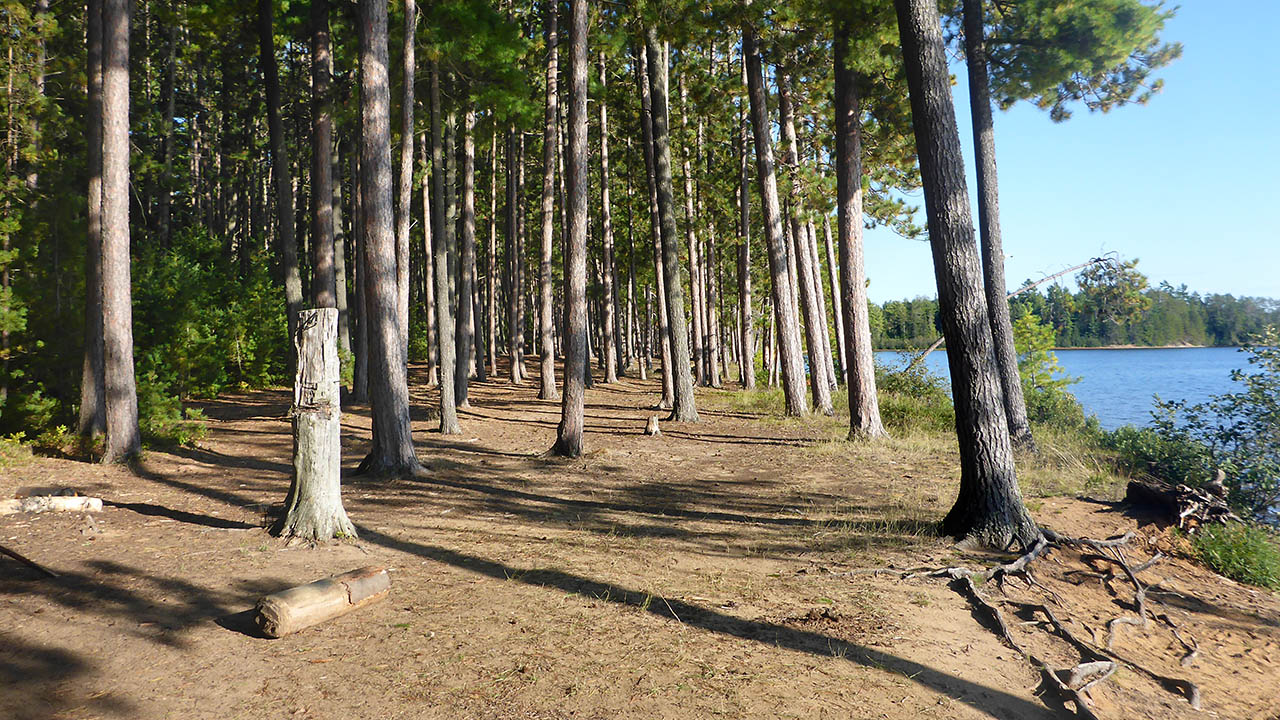
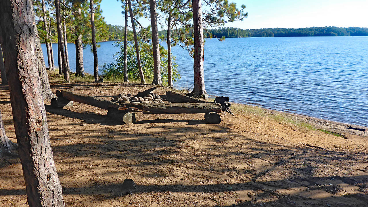
| Looking from the northwest (cartpath to Dickson Lake) at beach fronting the camping area. | |
Campsite
Campsite maintenance: Regular.
Size of open area: 100m+ (total length) x 15m.
Extent of tree cover: 80%.
Degree of levelness: Flat and level.
Number of level tent sites: Numerous
North exposure: trees
East exposure: trees
South exposure: Lake
West exposure: Lake
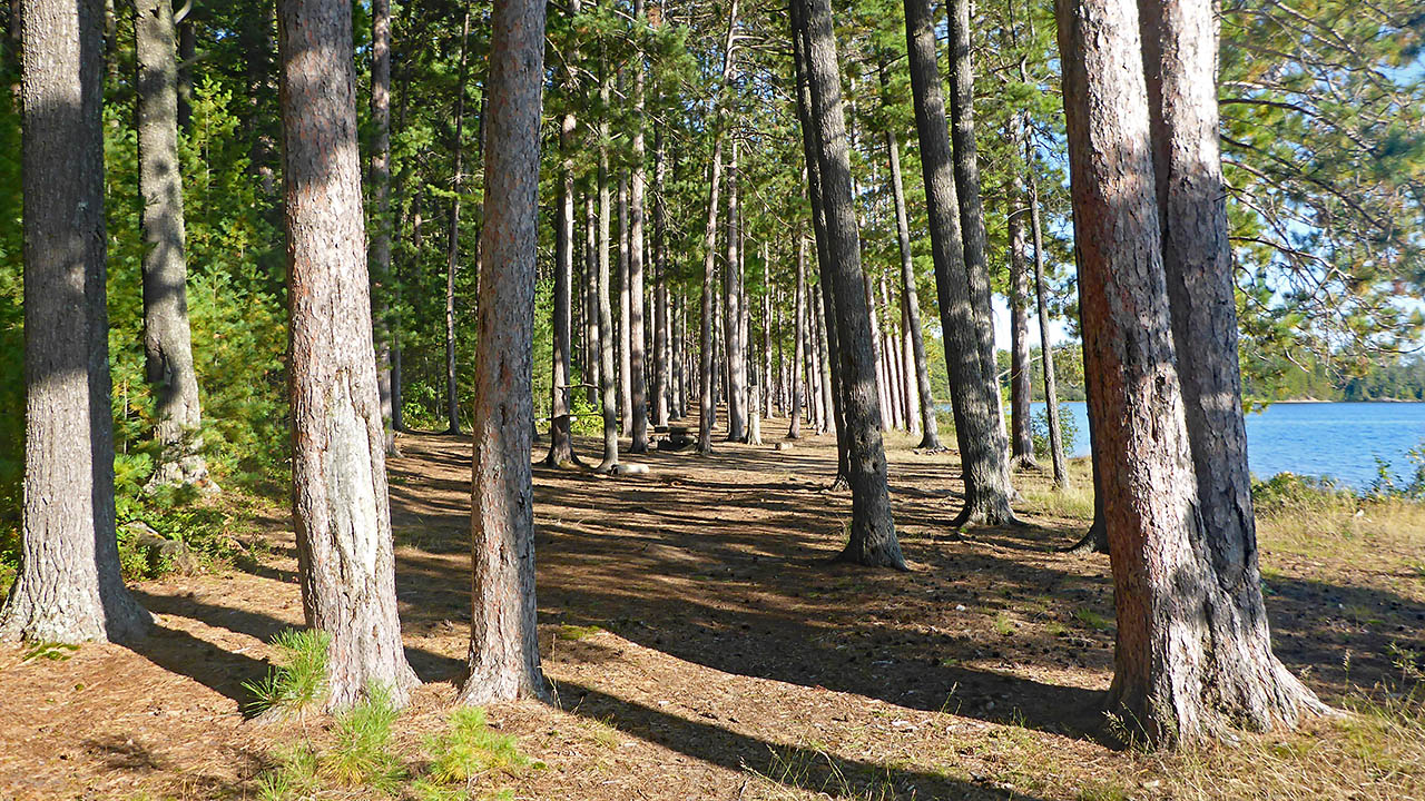
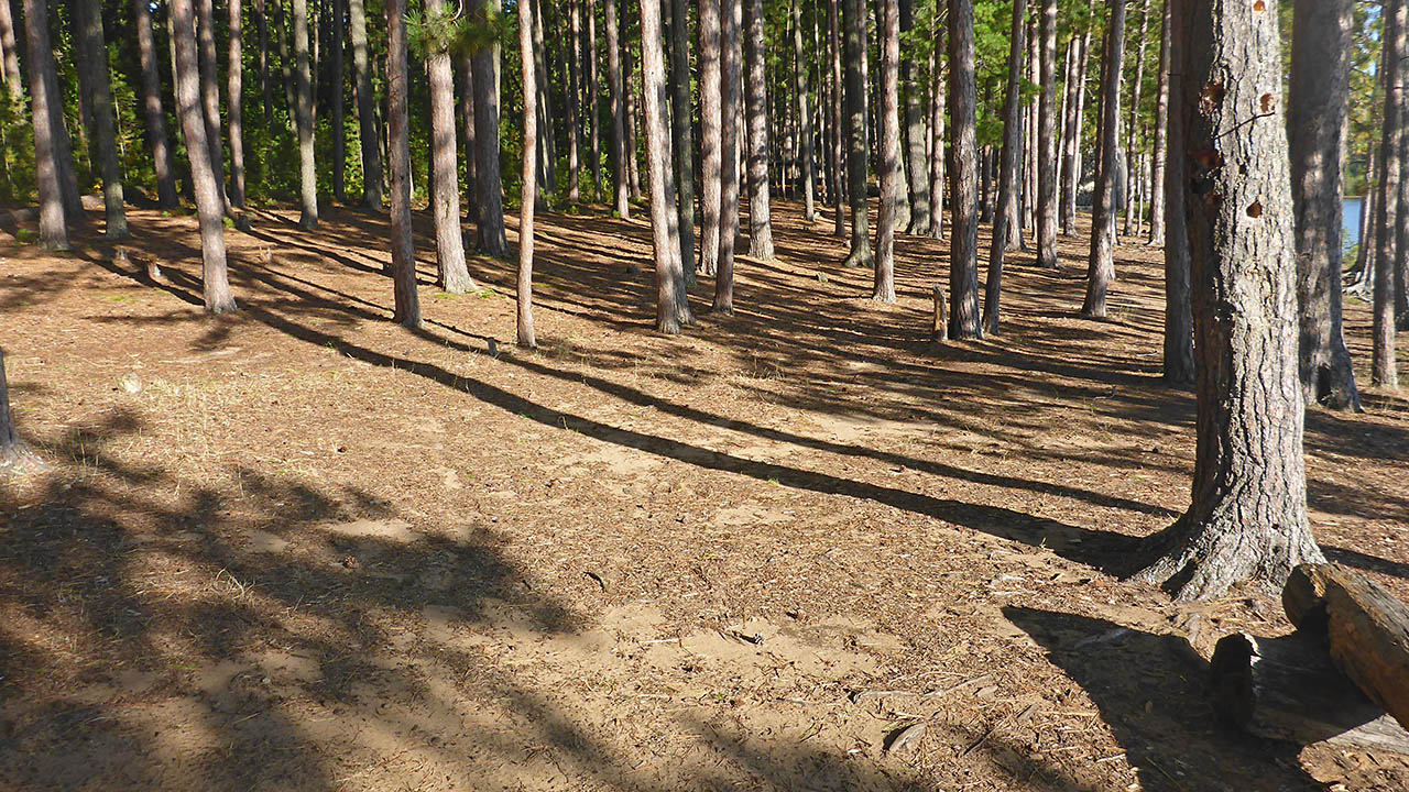
General description: With these 3 sites combined, the entire U.S. 1st Infantry could camp here. Well treed in an old growth pine forest, gives an impression of being very open. Very flat and level, with numerous tenting or hammock options. Great view to the west for Algonquin sunsets.Overall accessibility: A 1.5m climb to any of the sites.
|
|
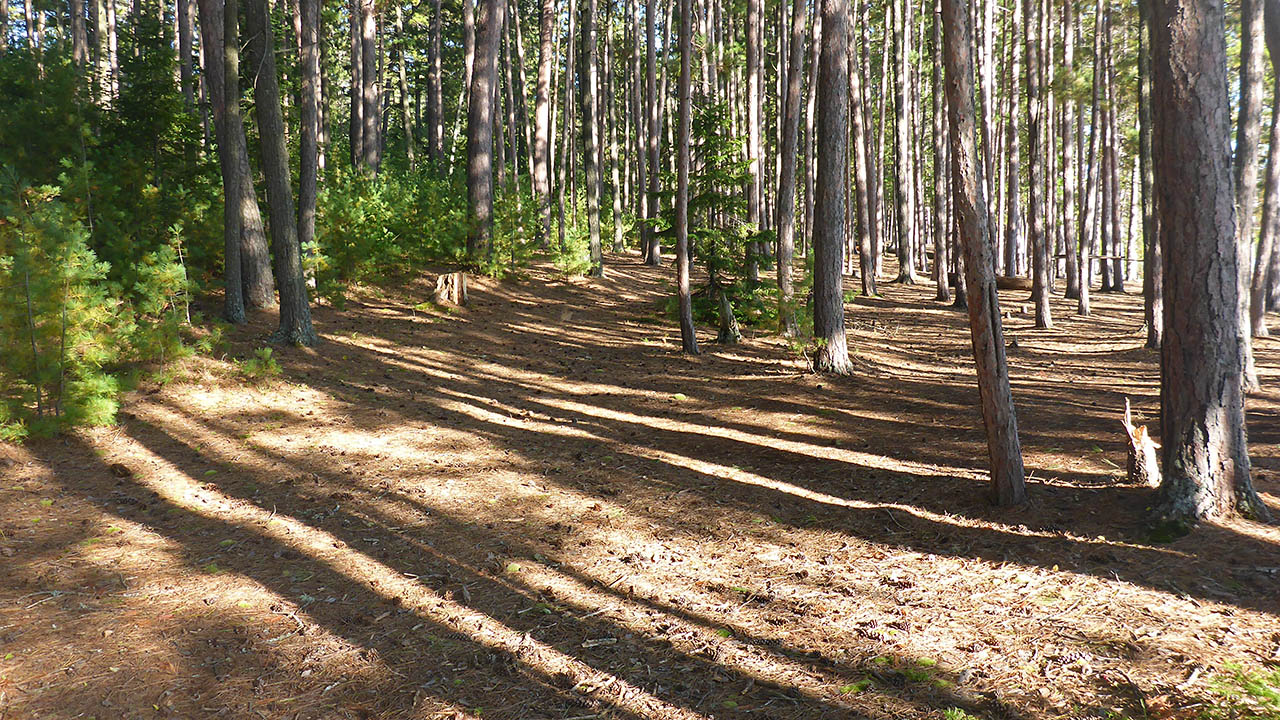
| View from the northwest down the length of the camping area. | |
|
|
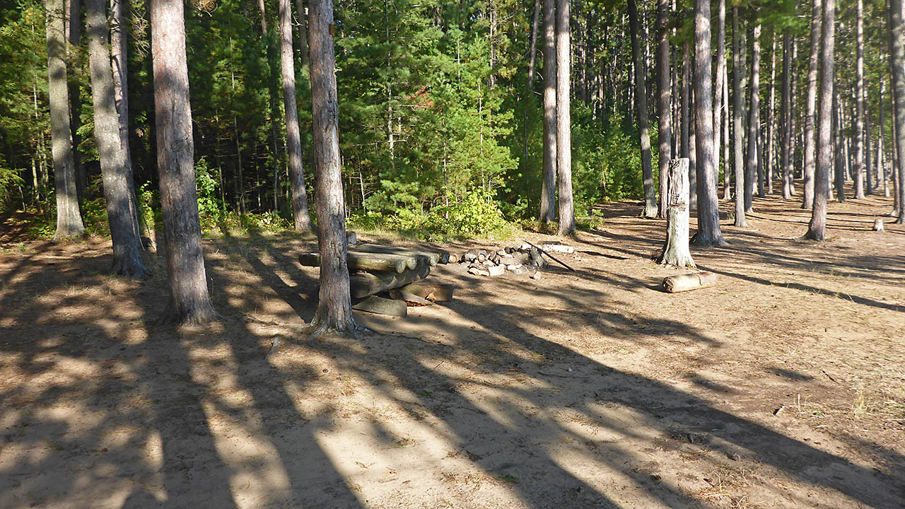
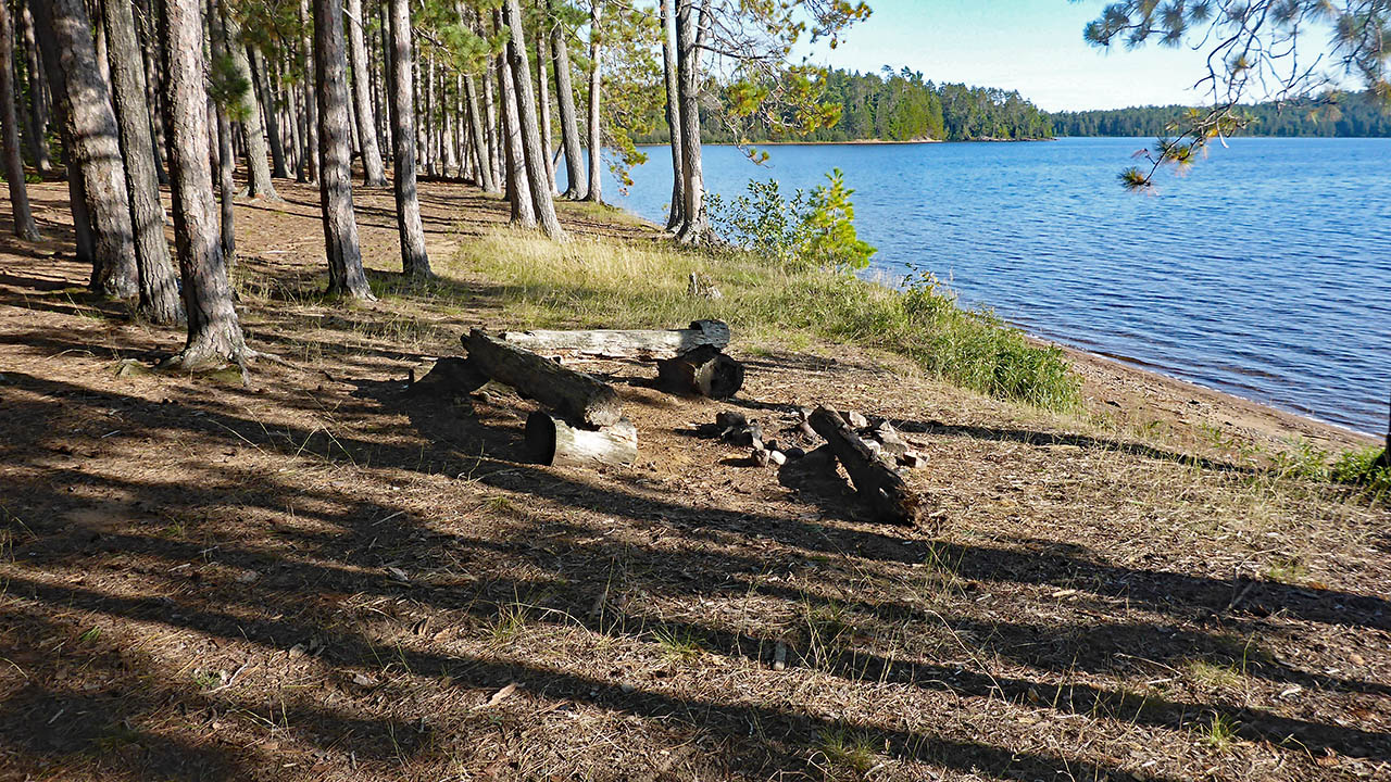
| Firepit area in the northwest site. | |
|
|
| Firepit and table on northwest site. | |
|
|
| Proceeding southeast toward the middle campsite | |
|
|
| Firepit for the middle campsite. | |
|
|
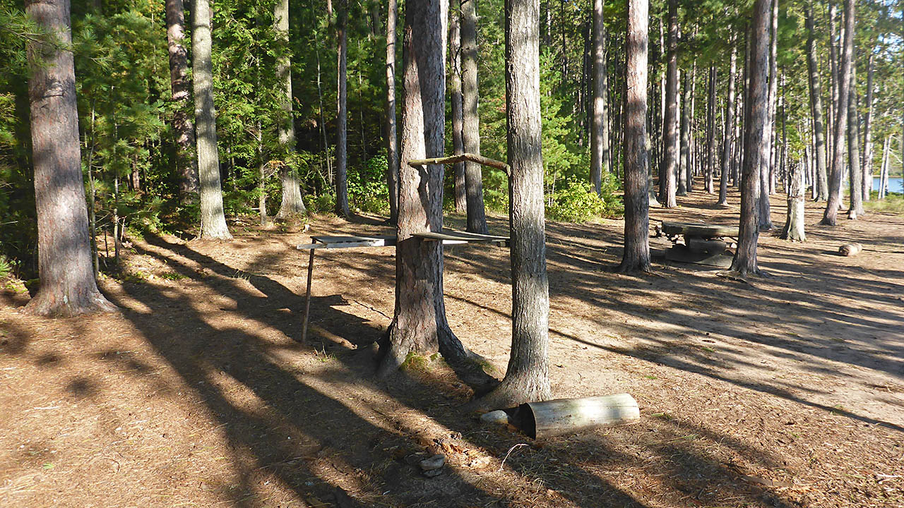
| Proceeding toward the southeast site, large areas like this are prevalent at the back of these sites. | |
|
|
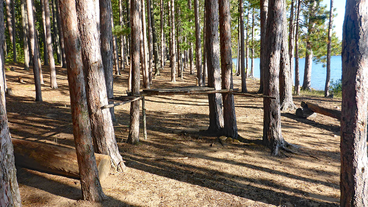
| Campcraft at the southeastern site. | |
|
|
| The firepit on the southeastern site. | |
|
|
| Somewhere down there is the start to the Wright(s) Lake portage. | |
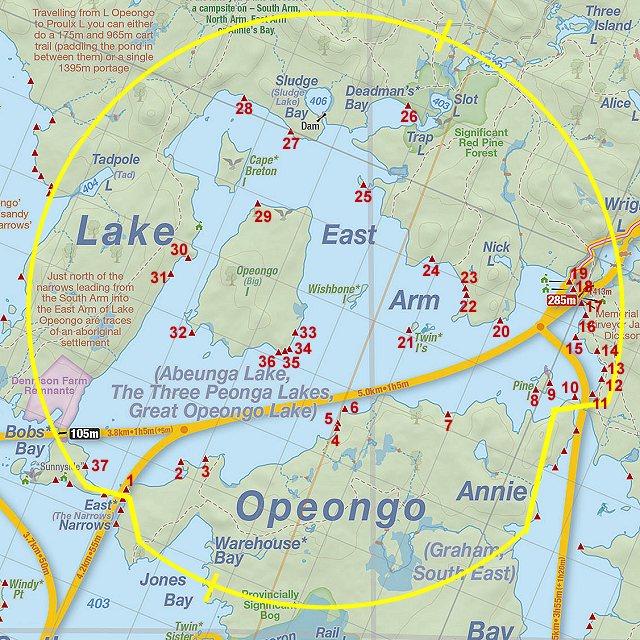
Thanks to Jeffrey McMurtrie of Jeff'sMap for supplying the base-layer map component by Creative Commons licensing.
Submitted by Chris Taylor .. Visited September, 2019 .. Submission January 25th, 2020