 Mubwayaka Lake Campsite #2
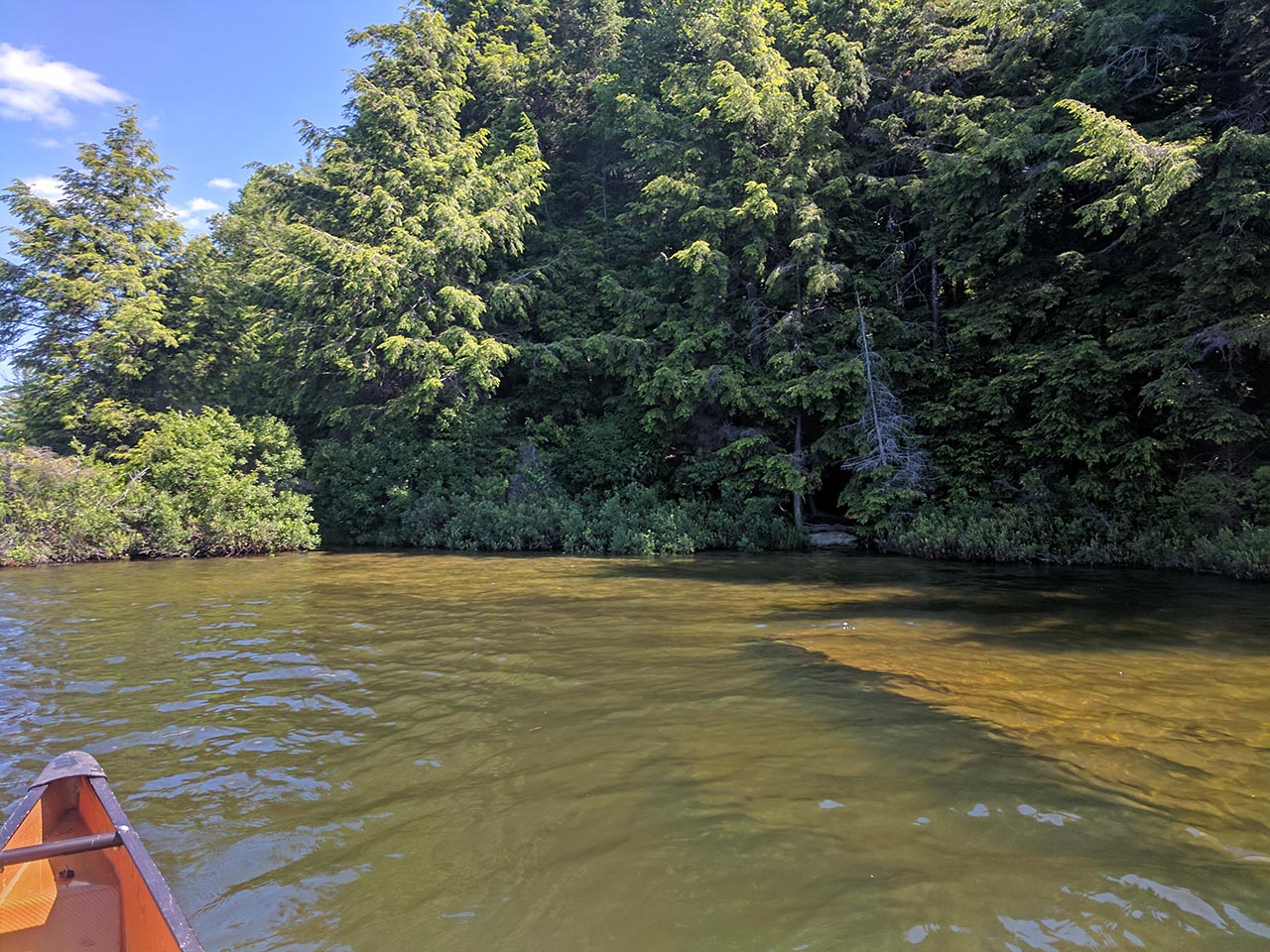
Landing
Topography of under-water approach: Sandy beach with a couple of rocks. Water levels were high when I was there, so may be more beach evident at other times.
Impediments to disembarking from and/or unloading a canoe: None - Site is hard to see from south and and has a narrow gap in trees but easy to manage.
Topography to tent sites: Flat.
 |
|
| Approach from the south. | |
 |
|
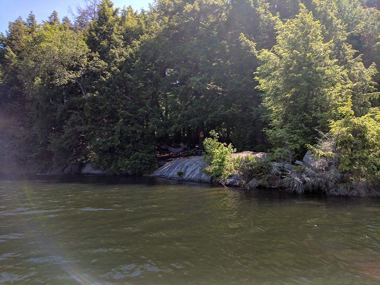
| Site from the N/W. | |
Campsite
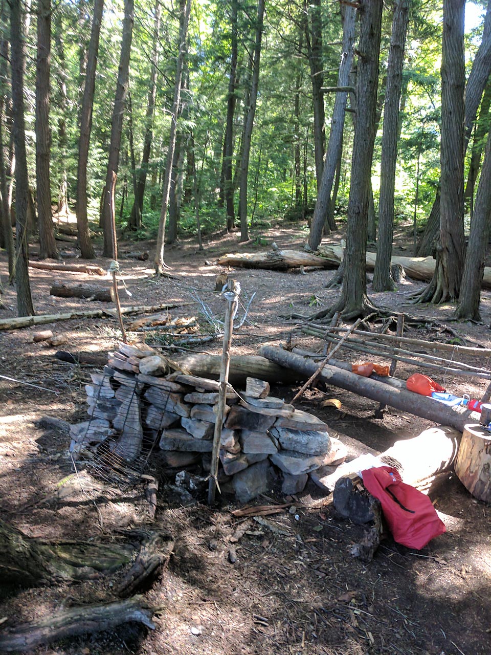
Campsite maintenance: Regular
Open ground area: 20 m by 30 m.
Extent of tree cover: Mainly covered. Open area beside water.
Degree of levelness: Slightly bumpy.
Number of tent sites: One small tent site, one larger site. A third could be used beside fire pit. Other areas are manageable but not ideal.
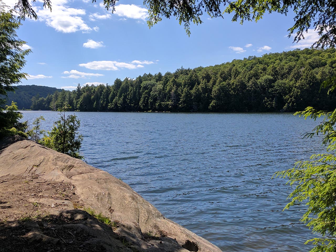
North/West exposure is the across lake. The other exposures are into the forest.
 |
|
| View west from fire pit. | |
 |
|
| Fire pit and bench. | |
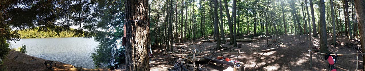 |
|
| Panoramic view of site. | |
General description: General description: Nice rock on the water. Fire pit quite built up. Benches with back rests have been made as well as drying racks.

Thanks to Jeffrey McMurtrie of Jeff'sMap for supplying the base-layer map component by Creative Commons licensing.
Submission July 16, 2017 by Ken Gower