 Misty Lake Campsite #2
Campsite Location
GPS - UTM location: N45° 41.580' W78° 50.079'
Landing
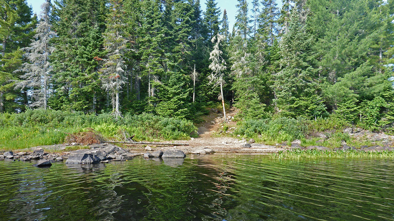
Topography of under-water approach: : Sand and gravel with some small rock.
Impediments to disembarking from and/or unloading a canoe: None.
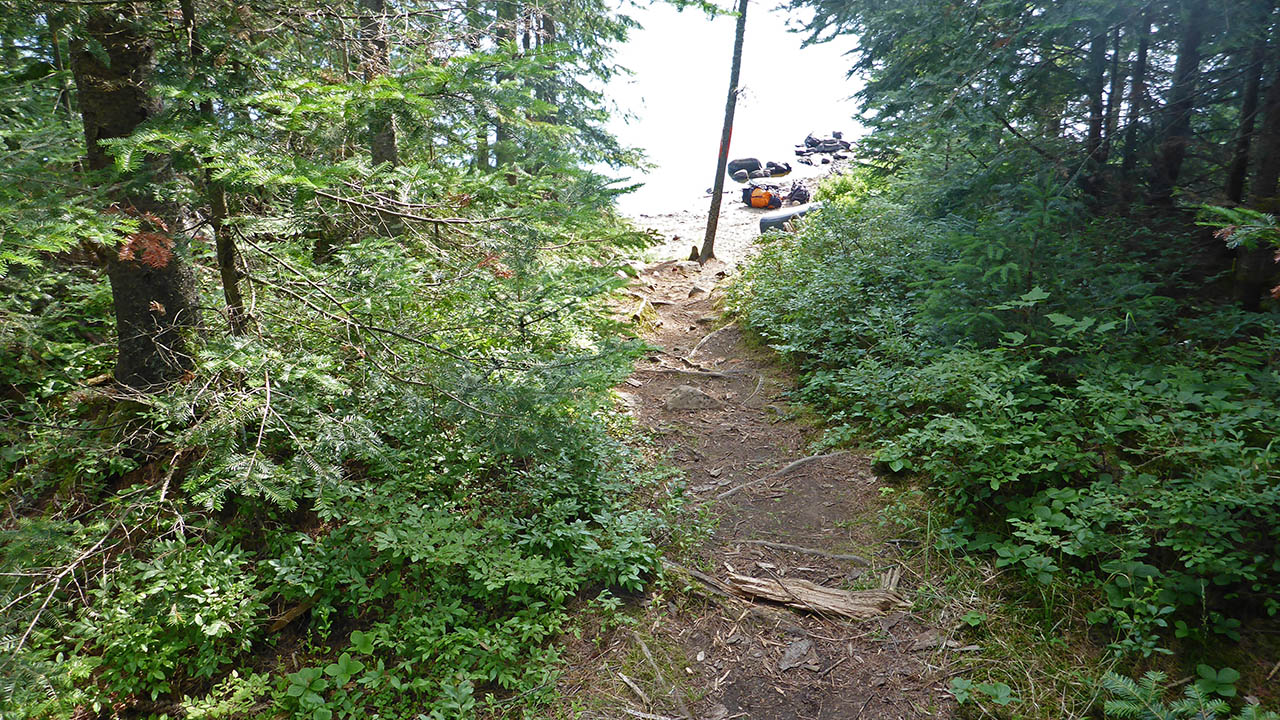
Topography leading to tent sites: From beach a 3m climb on a 10m path.
 |
|
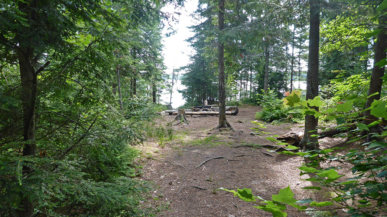
| Looking from firepit down to landing. | |
 |
|
| View of landing and path to site from water. | |
Campsite
Regular or low-maintenance: Regular
Size of open ground area: 15m x 7m and 3m x 3m.
Extent of tree cover: 70% open in middle of site.
Degree of levelness: Level.
Number of tent sites: 4+.
North exposure: Trees.
East exposure: Trees, slight view of lake.
South exposure: Trees, slight view of lake from tentpad.
West exposure: Trees, slight view of lake.
General description: A nice island site that is quite level. Numerous tenting options, with an isolated tenting area.
Overall accessibility: There is a 3m climb over the 10m path that would be the only accessibility issue.
 |
|
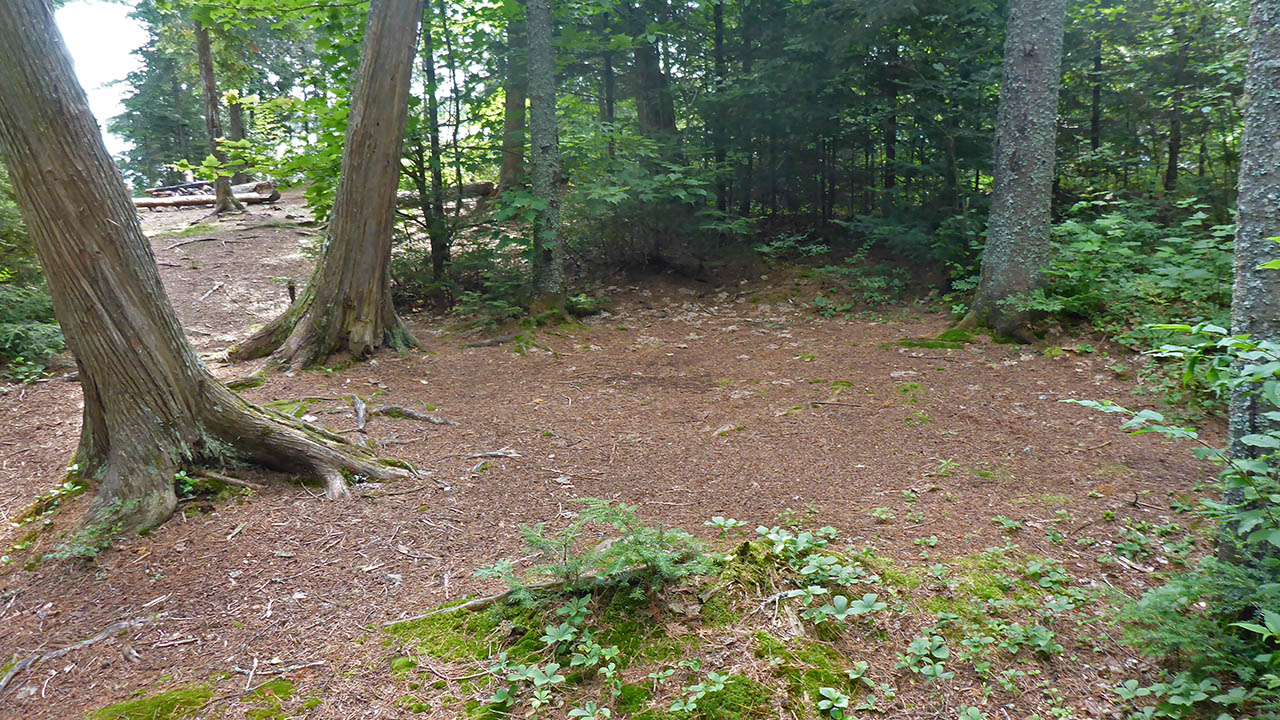
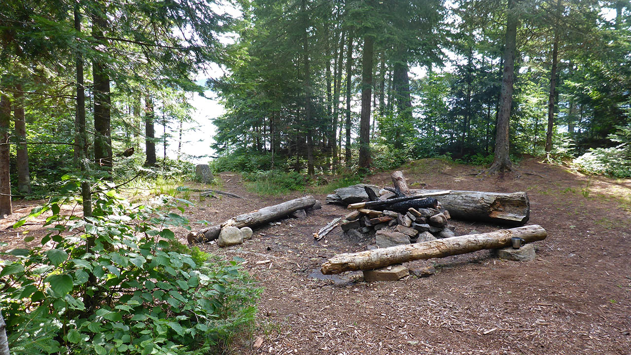
| Southern tentpad looking north toward firepit. | |
 |
|
| Most western tentpad seen from path to thunderbox. | |
 |
|
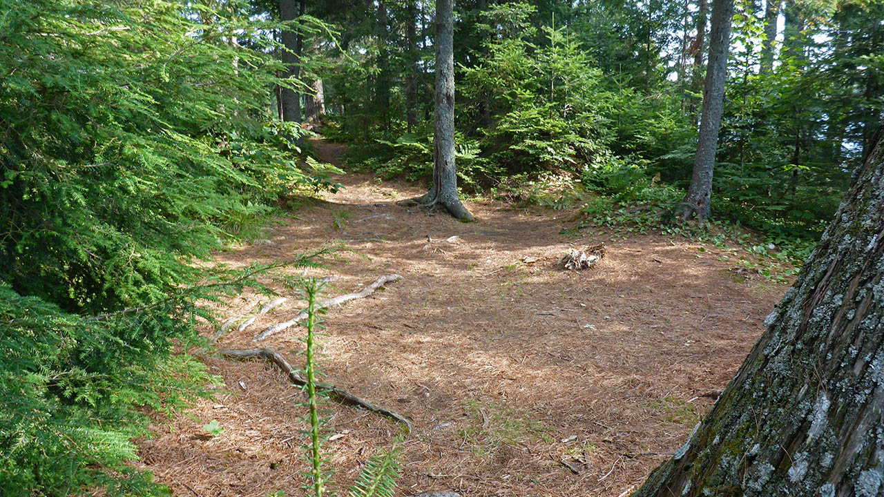
| Some more possible tenting areas seen from path to thunderbox. | |
 |
|
| Looking toward the landing. | |
 |
|
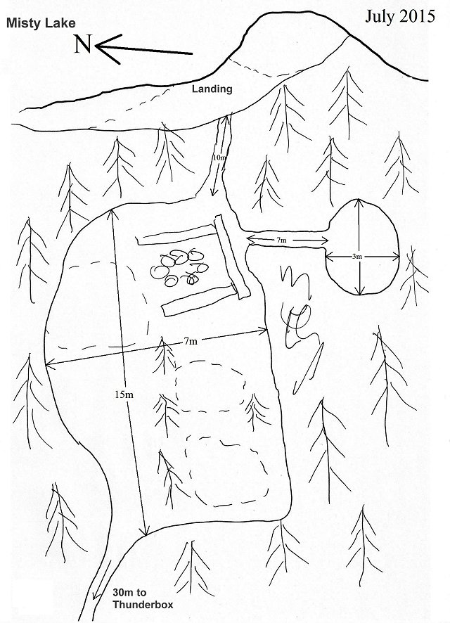
| Site diagram. | |
 Thanks to Jeffrey McMurtrie of Jeff'sMap for supplying the base-layer map component by Creative Commons licensing. |
|
Submitted by: Chris Taylor .. Visited 2015 .. Submission March 12, 2016