 Misty Lake Campsite #17
Campsite Location
GPS - UTM location: N45° 42.035' W78° 48.894'
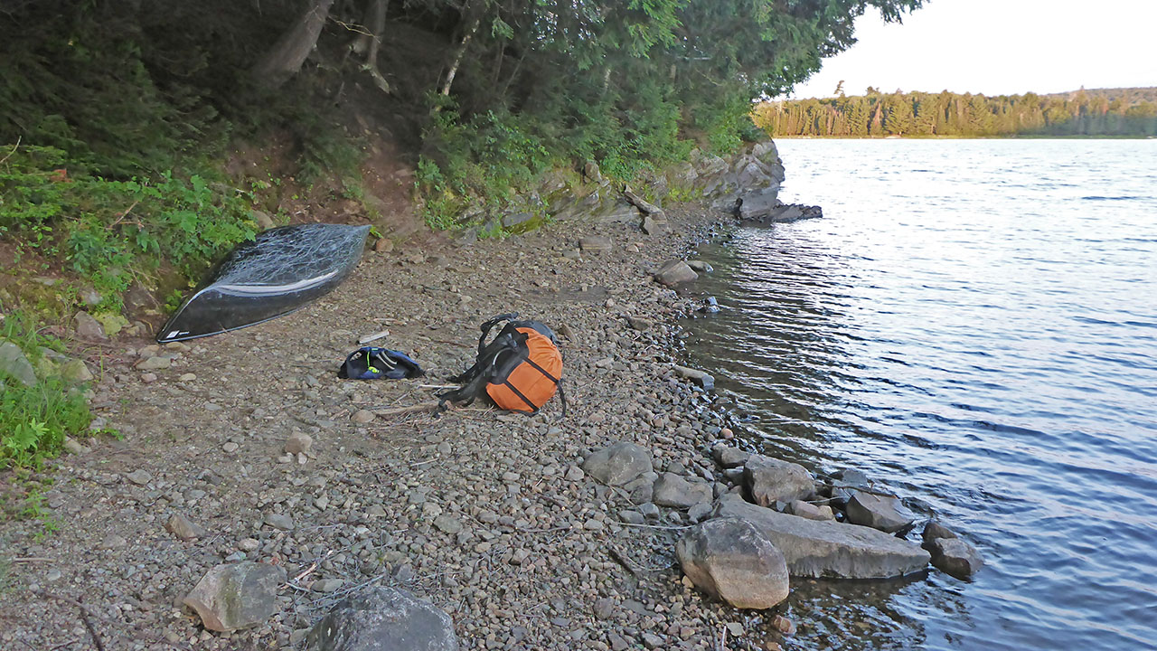
Landing
Topography of under-water approach: : Gravel.
Impediments to disembarking from and/or unloading a canoe: None.
Topography leading to tent sites: Narrow slanting path of 10m on side of hill. Site is approx. 5m above lake.
 |
|
| Landing is a gravel beach, start of path is at far end of canoe. | |
 |
|
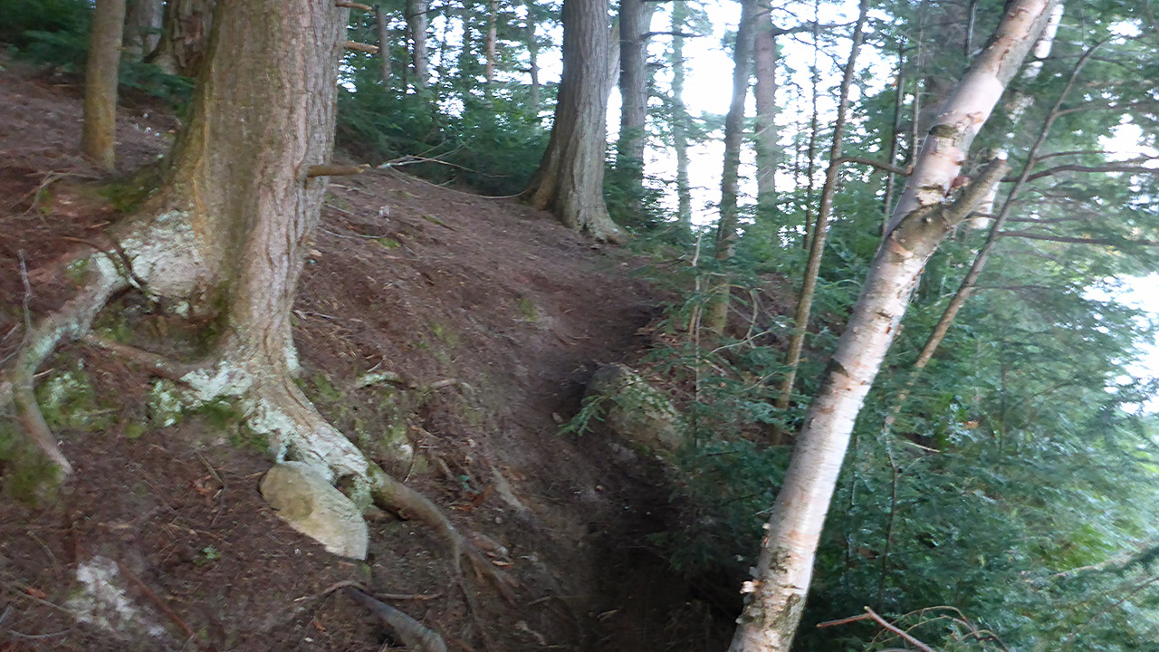
| The path starts tight and narrow. | |
 |
|
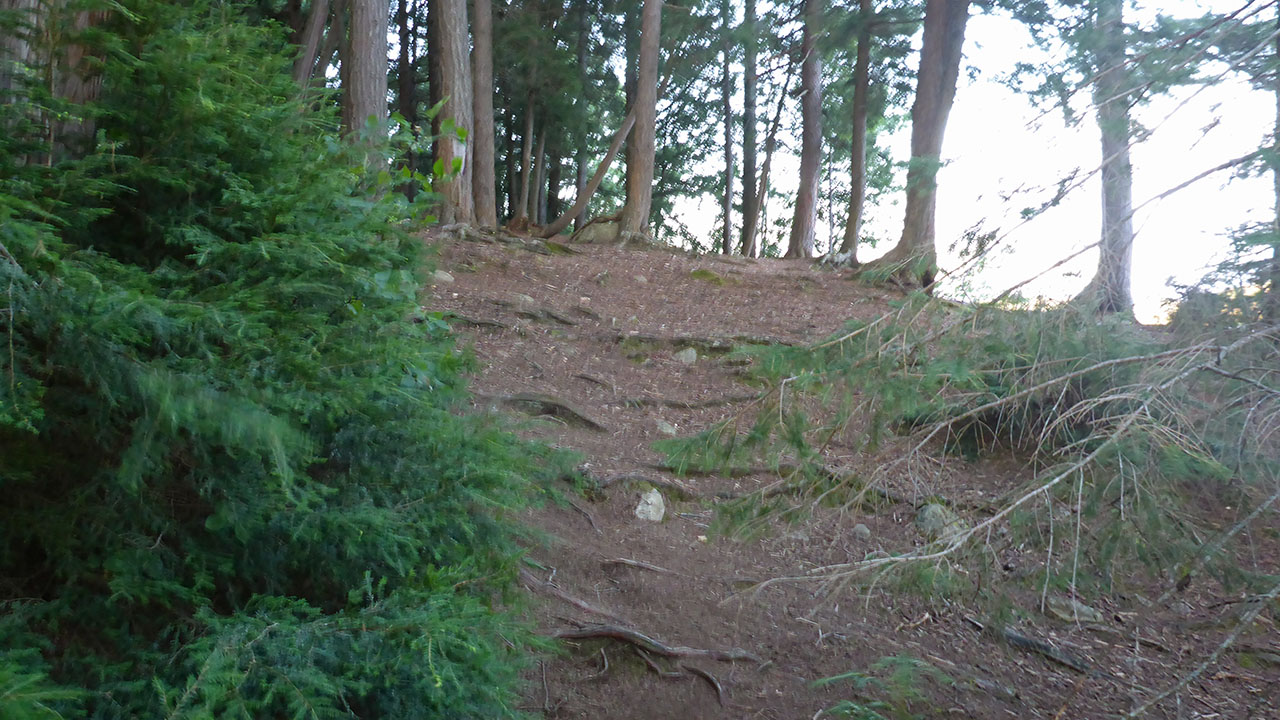
| The path opens of a little bit near the end. | |
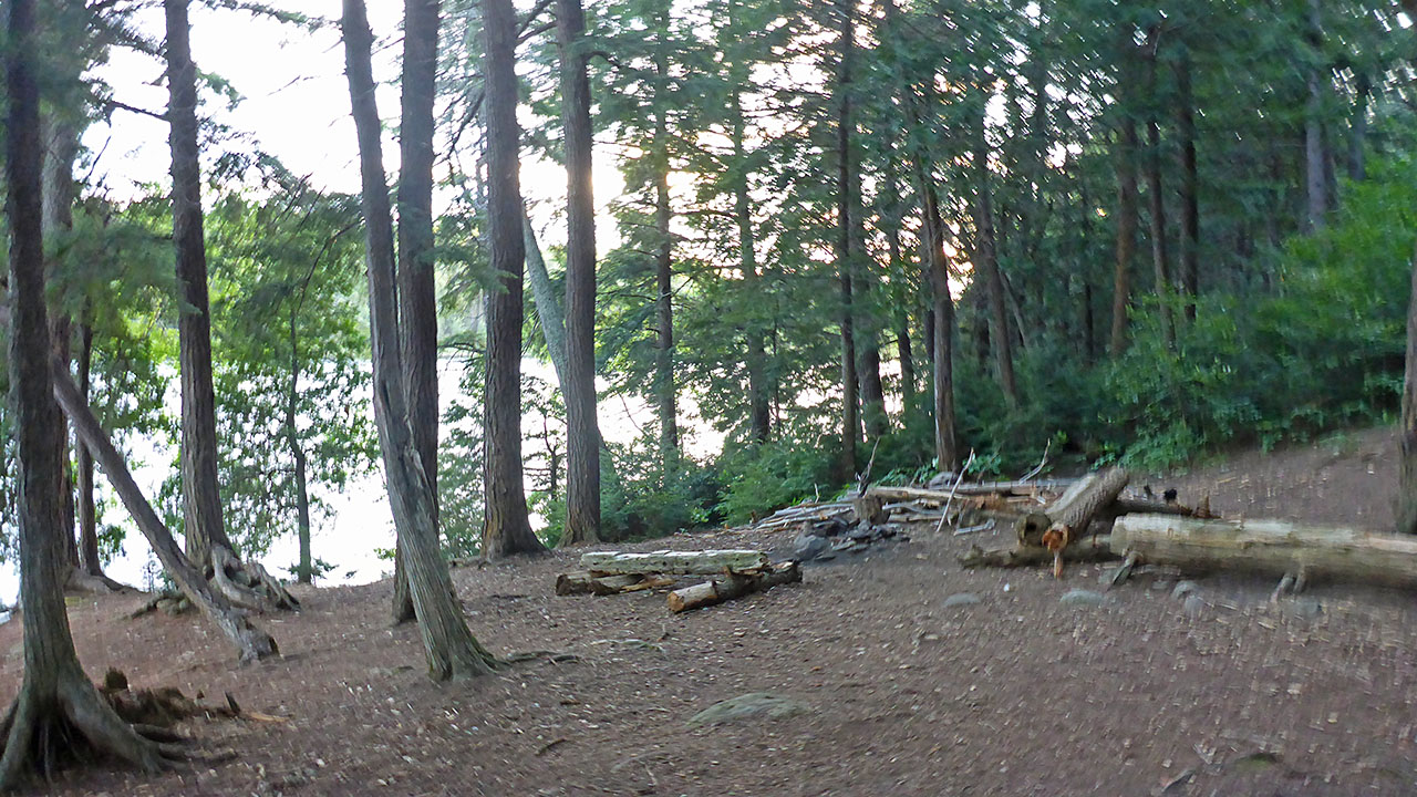
Campsite
Regular or low-maintenance: Regular
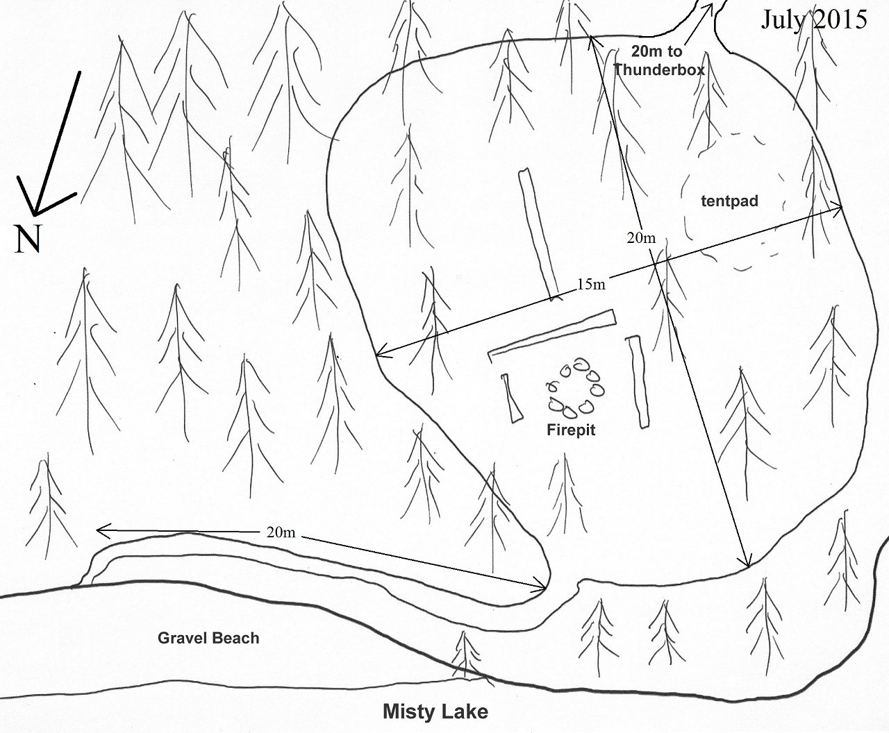
Size of open ground area: 20m x 15m.
Extent of tree cover: 90%.
Degree of levelness: Not level.
Number of tent sites: 1 x 3 man.
North exposure: Limited view of lake.
East exposure: Trees.
South exposure: Trees.
West exposure: Limited view of lake.
General description: A large site with a significant slope from back to front. Not much of the site is usable for tenting. The area below the firepit (northeast) could be used in a pinch, but would still not allow a level sleep. Very treed, but a nice view of the lake from the ledge that fronts the site.
Overall accessibility: : Unloading a canoe is no problem. There is steep step up to a narrow, side sloped path that leads up to the site, that could be slippery when wet.
 |
|
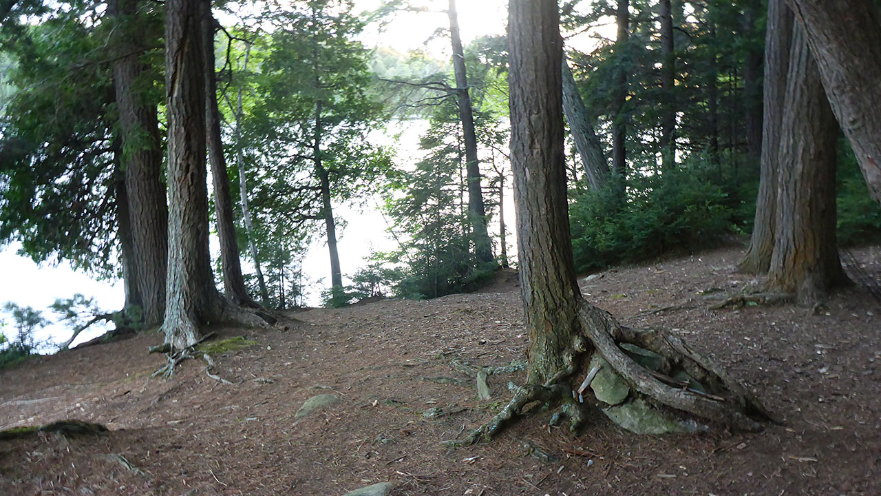
| View of firepit from tentpad. | |
 |
|
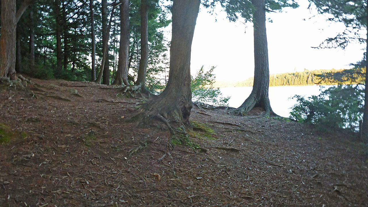
| Tentpad is on upper left of photo, seen from lake side of site. | |
 |
|
| Looking toward front of site from tentpad, a significant grade. | |
 |
|
| Site diagram. | |
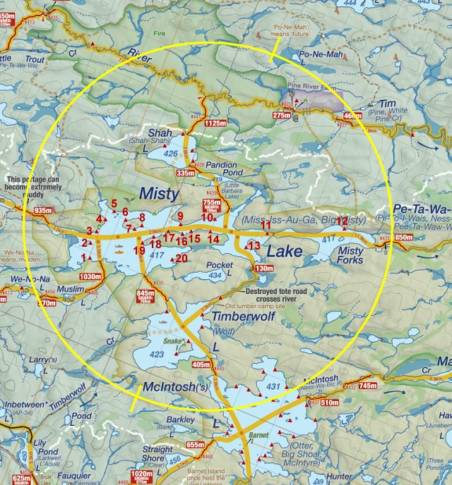 Thanks to Jeffrey McMurtrie of Jeff'sMap for supplying the base-layer map component by Creative Commons licensing. |
|
Submitted by: Chris Taylor .. Visited 2015 .. Submission March 12, 2016