 390m Portage - Ratrap To Maple Lake
Length of portage: 390 meters.
Portage maintenance regular or low: Regular.
Elevation above Sea Level @ Ratrap Lake is 377 meters.
Elevation above Sea Level @ Maple Lake is 375 meters.
Difference in elevation: 2 meters (approx.).
Elevation of highest point: 381 meters. Overall rise/fall: 6 meters.
(Above data is extracted from 'Jeff's Map'.)
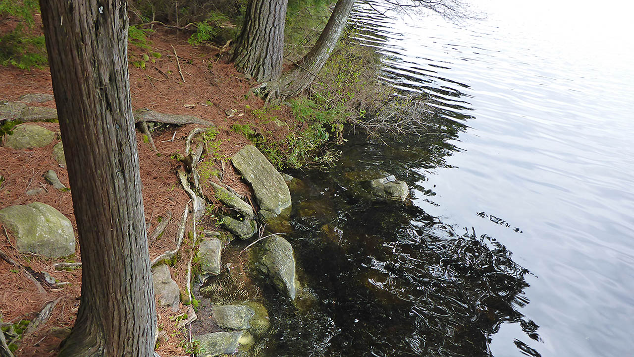
Landing at Ratrap Lake (elevation 377m)
Topography of under-water approach: Rock at shoreline, must step directly to shore because of the steep drop-off.
Impediments to disembarking from and/or unloading a canoe: None, room for one canoe at a time.
Landing at Ratrap Lake ...
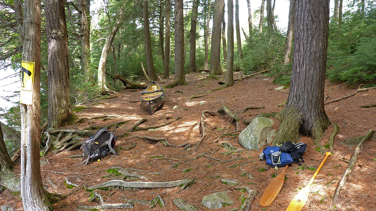
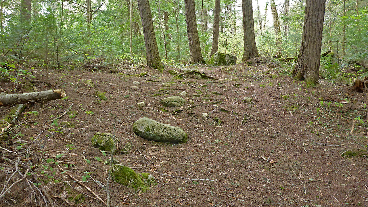
Portage Trail
Cross-section profile ...
Landing at Maple Lake (elevation 375m)
Topography of under-water approach: Mud, sand, and silt underwater that has a moderate drop-off.
Impediments to disembarking from and/or unloading a canoe: None.
Topography of the ascending grade: A wide, smooth path.
Impediments to moving gear to portage trail: None, has lots of room for gear staging.
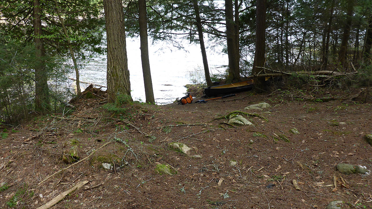
Landing at Maple Lake ...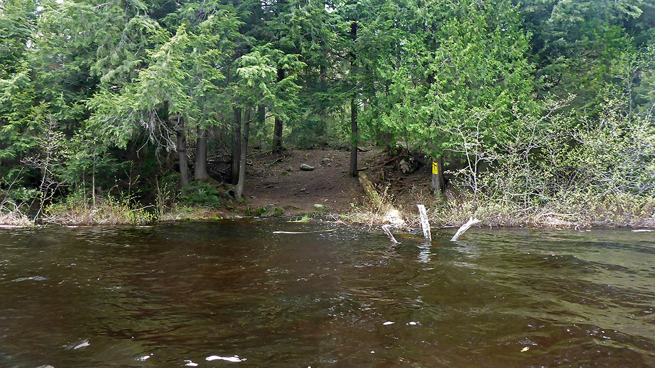

Thanks to Jeffrey McMurtrie of Jeff'sMap for supplying the base-layer map component by Creative Commons licensing.
Submitted by Chris Taylor, visited May 2015, submitted December 2019