 Maple Lake Campsite #4
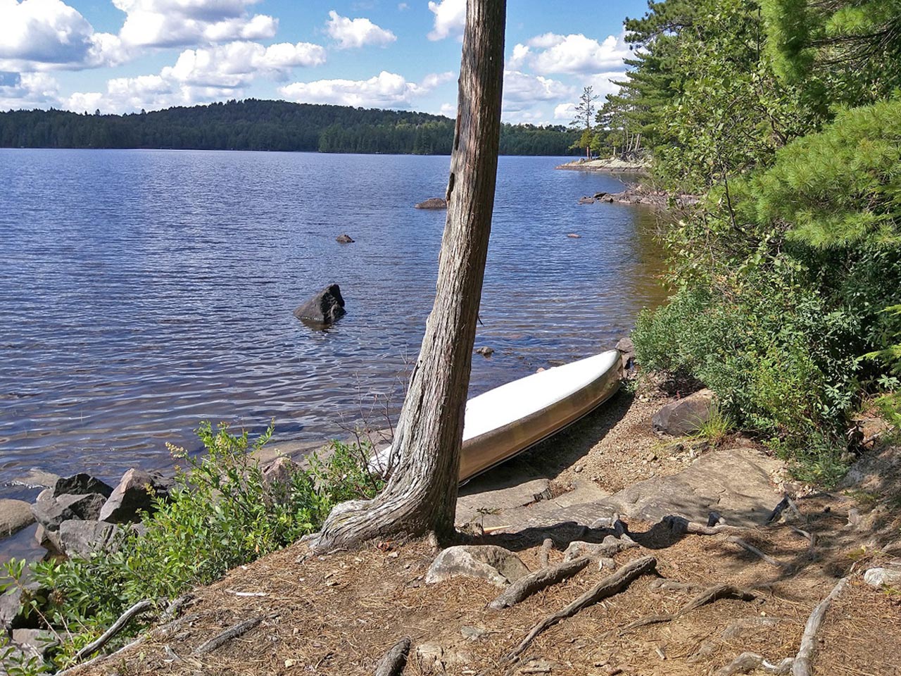
Landing
Topography of under-water approach: Quickly rising rocks as approaching.
Impediments to disembarking from and/or unloading a canoe: Small gravel beach area on west side of island.
Topography leading to tent sites: 5m up rocky 'steps'.
 |
|
| - Landing. | |
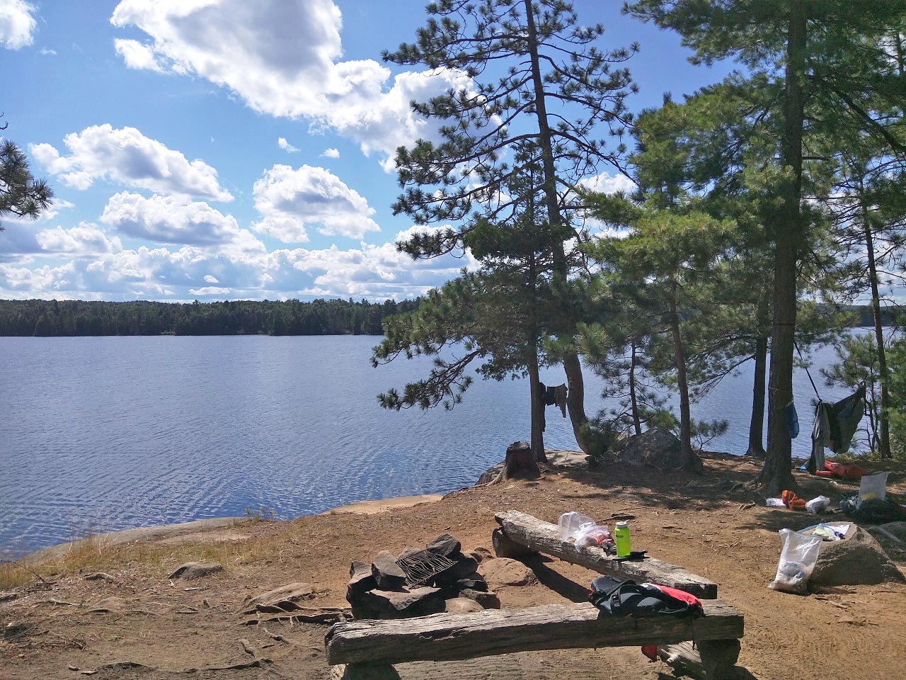
Campsite
Regular or low-maintenance: Regular (Junior rangers were there that morning)
Size of open ground area: 10 m x 10 m
Extent of tree cover: Open at campfire, sheltered further back.
Degree of levelness: Good
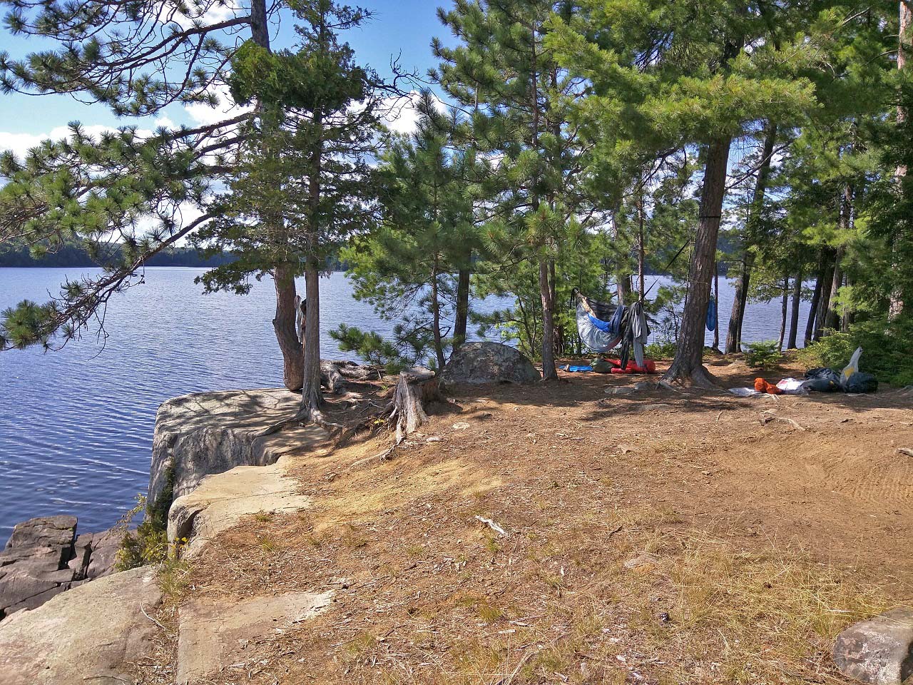
Excellent South and West exposure from the campsite looking off a 5 m cliff.
General description: Beautiful view from the site. Good fire pit with benches. Swimming was good off the west side of the island. Thunder box out of view of campfire.
 |
|
| - View of fire pit facing SW. | |
 |
|
| - Cliff at edge of the site. | |
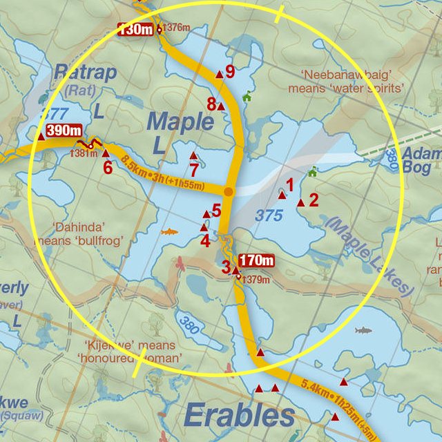
Thanks to Jeffrey McMurtrie of Jeff'sMap for supplying the base-layer map component by Creative Commons licensing.
Submitted by: Ken Gower .. Visited August, 2015 .. Submission March, 2016