 Manitou Lake Campsite #43
Landing
Topography of under-water approach: Shallow water with a gravel bottom.
Impediments to disembarking from and/or unloading a canoe: None.
Topography leading to tent sites: 5 meter elevation, staircase.
View of landing ...

![]()
Campsite
Regular or low-maintenance: Regular
Size of open ground area: 10 x 15 meters.
Extent of tree cover: 40%.
Degree of levelness: Level.
Number of tent sites: 4+.
North exposure: Trees, partial view of lake.
East exposure: View of the lake.
South exposure: Trees, partial view of lake.
West exposure: Trees.
General description: A large, open site with plenty of tenting options. A good view of the lake, but little protection from all but a wind from the west as the site is on a point, and is elevated 5m. The majority of the site is uncovered, with most of the trees coverage occurring at the perimeter of the site. There is a path at the southwest corner of site that leads to a 200m long sandy beach on the southern shore of this point.
Overall accessibility: Without the staircase, this would be a difficult site to access..
Firepit ...
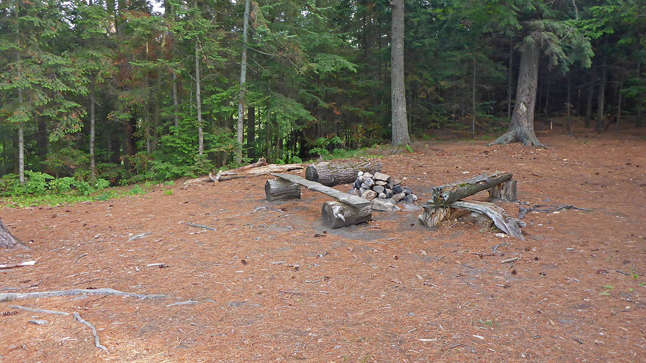
![]()
View of front of site from south tentpad ...

![]()
Looking at back of site from south tentpad ...

![]()
View from back of site ...

![]()
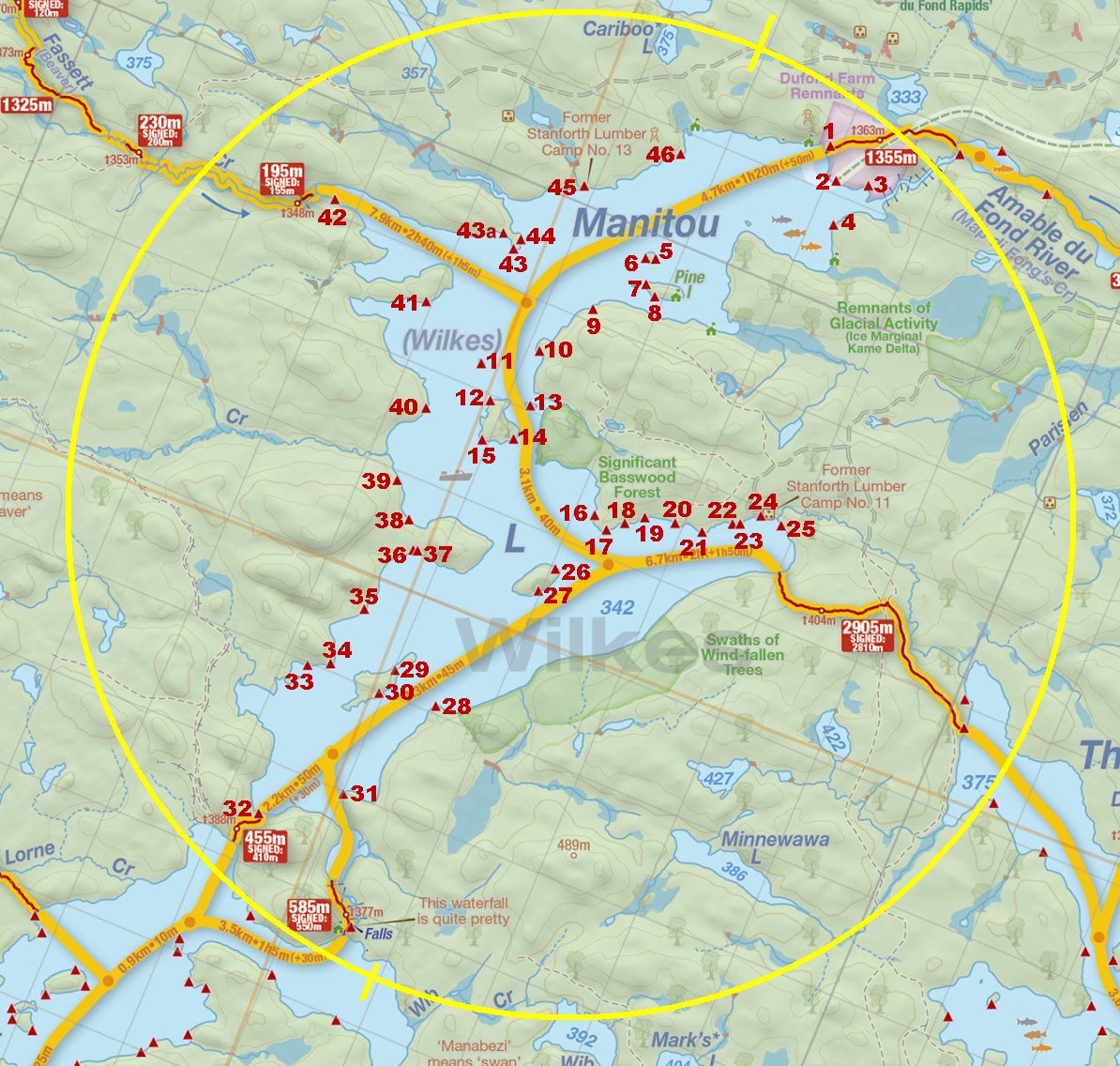
Thanks to Jeffrey McMurtrie of Jeff'sMap for the base-layer map component by Creative Commons licensing.
Submitted by: Chris Taylor .. Visited July, 2018 .. Submission November, 2018