 Lake Louisa Campsite #15
Landing
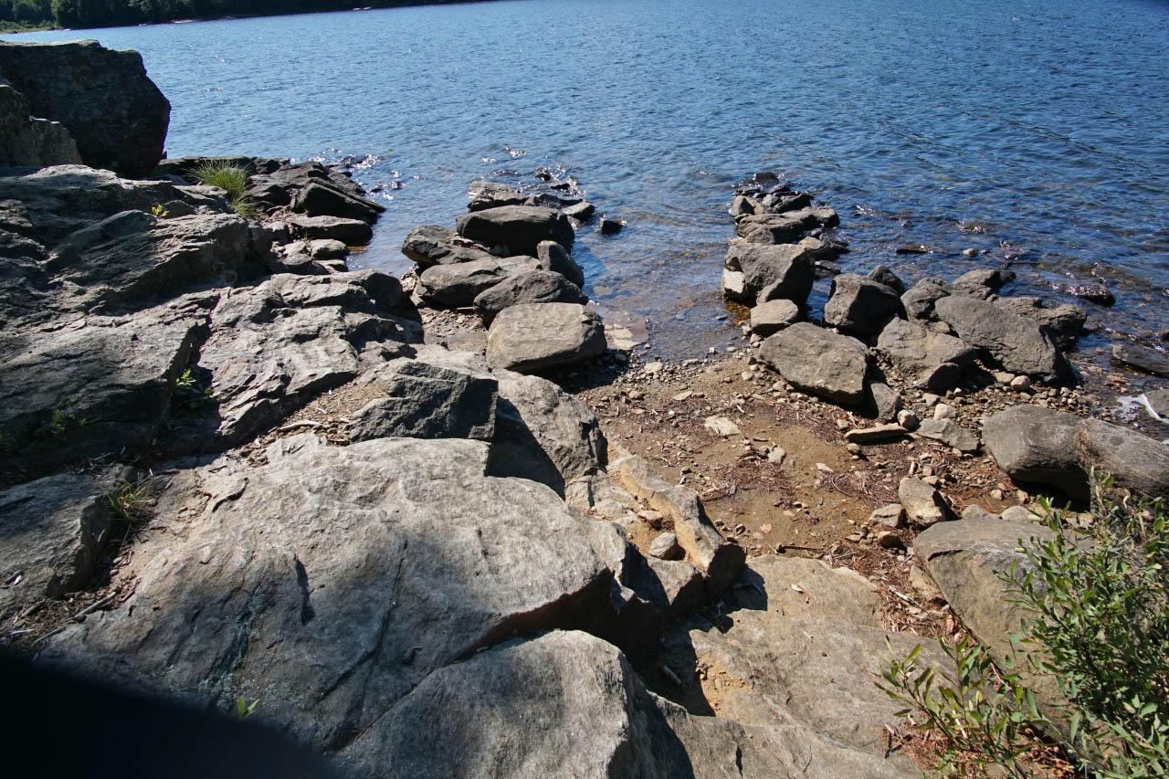
Topography of under-water approach: Rocky, with a narrow channel between rocks. The water drops off quickly and is good for swimming.
Impediments to disembarking from and/or unloading a canoe: There are quite a few rocks in the area as depicted in the attached photograph.
Topography to tent sites: The access to the campsite is a bit of a walk up a trail with roots and might be tricky with a canoe and gear. Be careful.
 |
|
| Looking out across the landing area. | |
 |
|
| Trail leading up to the campsite. | |
 |
|
| Trail approaching close to the campsite. | |
Campsite
Campsite maintenance: Regular
Open ground area: Medium-plus area.
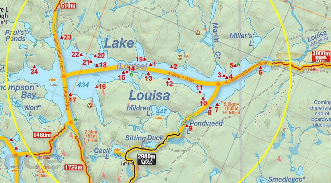
This is one of two sites located on a small island. If you are looking for privacy, these are less desirable UNLESS you are with a larger group and are able to secure both sites, which would be a lot of fun.
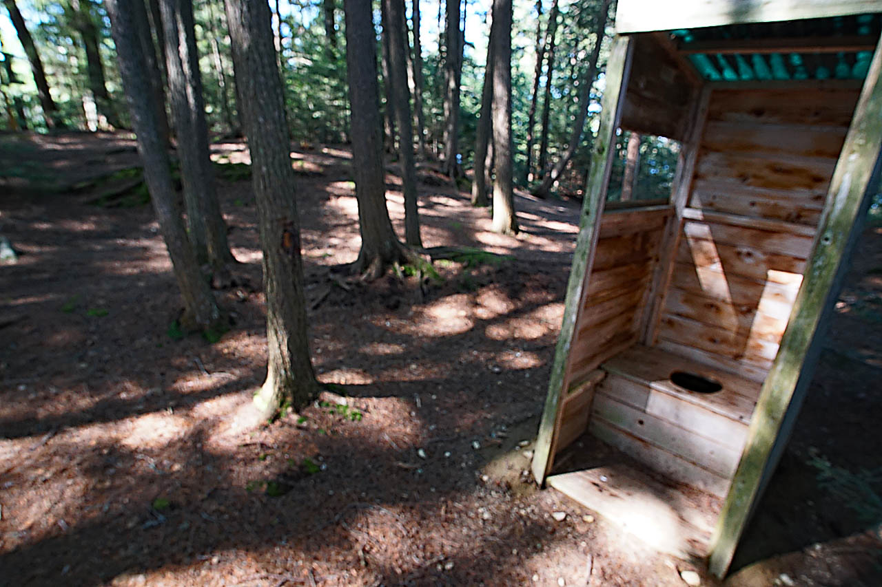
The thunderboxes are in an open area on the highest point of the island within clear view of each other and portions of site #15. They are enclosed with walls on three sides to provide more privacy. The other group on our site was not sure which thunderbox to use and one of the people on site 15 was using the site 14 thunderbox when my spouse went up to use it. They also set up their tent with a clear view of the thunderbox, which was a little uncomfortable.
Degree of levelness: The ground was level, but rocky and littered with roots. It might be difficult to find a comfortable place to sleep unless you use a cot.
Number of tent sites: There are at least two tentsites.
The firepit has only a single bench and is not as well-maintained as the firepit on the adjacent site (#14).
North exposure: Lake Louisa, but sheltered with tree cover.
South exposure: Lake Louisa - the south shore is visible from the canoe landing area.
 |
|
| Tentsite area. | |
 |
|
| The 'walled' thunderbox. | |
Overall accessibility of campsite: C+, due to rocky approach, long climb from the water, and root- & rock-strewn tentsites.

Thanks to Jeffrey McMurtrie of Jeff'sMap for supplying the base-layer map component by Creative Commons licensing.
Submission August 16, 2020 by Andrew M. ... visited August 5 - 7, 2020