 Little Trout Lake Campsite #9
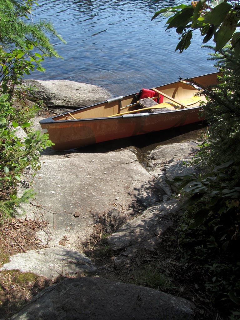
Landing
The landing is smooth rocks, with a moderate climb up to the campsite ...
![]()
Topography of under-water approach: A small area of smooth rock bottom allows one to step out on to other rocks.
Impediments to disembarking from and/or unloading a canoe: Slabs of rock provides place to step out onto and to unload canoe to. However, unloading more than one canoe at a time might be a problem./p>
Topography to tent sites: The campsite is approx. 6 feet up from the lake. The grade is moderate and on smooth rock surfaces.
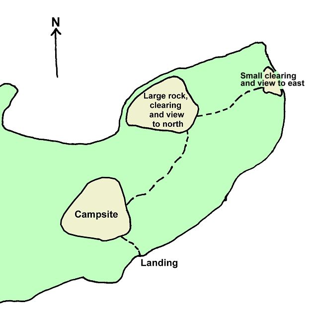
Areas with views are out on a point, at a distance from the campsite, along trails through the trees ...
Campsite
Regular or low-maintenance: Regular
Size of open area: 15 x 20 feet.
Extent of tree cover: 80%
Degree of levelness: The campsite area around the firepit is level.
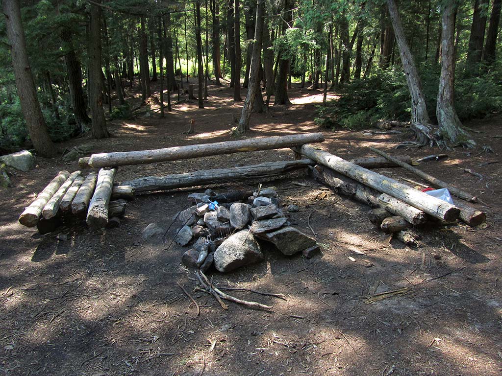
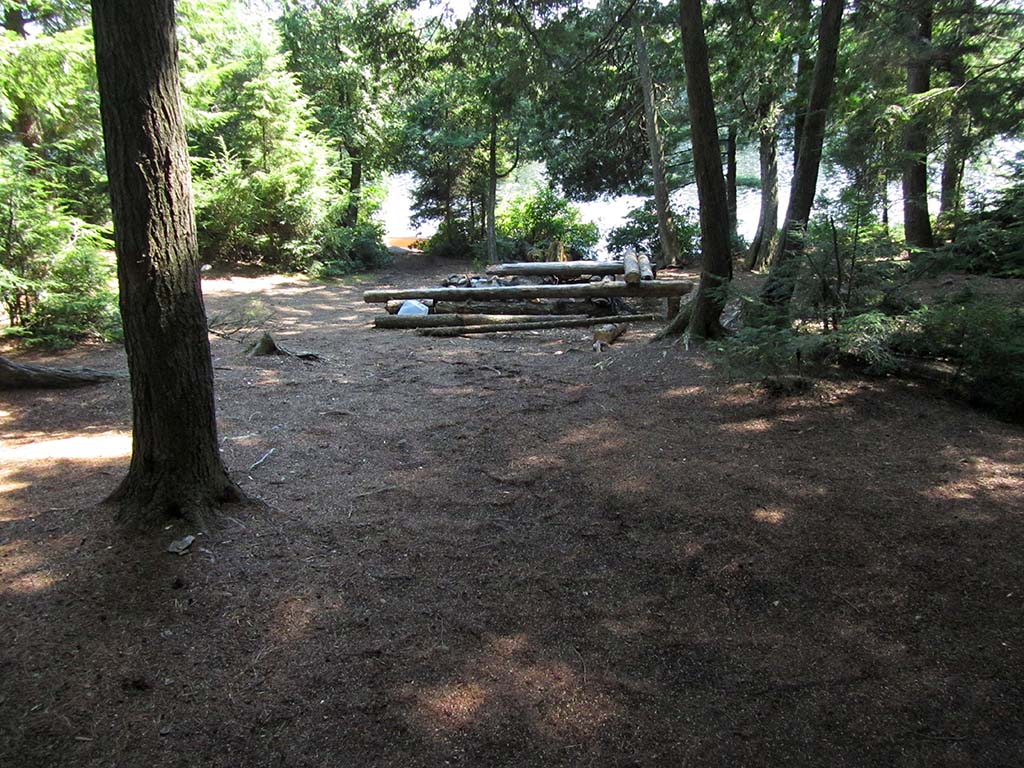
Looking west across the firepit to the tentsite areas.
Firepit and the tentsite area to the west ...
![]()
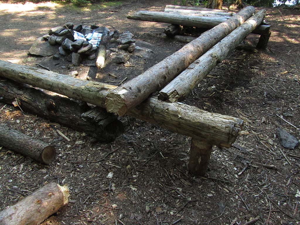
Overbuilt benches around the firepit ...
![]()
Looking east from the tentsite area, back toward the firepit...
![]()
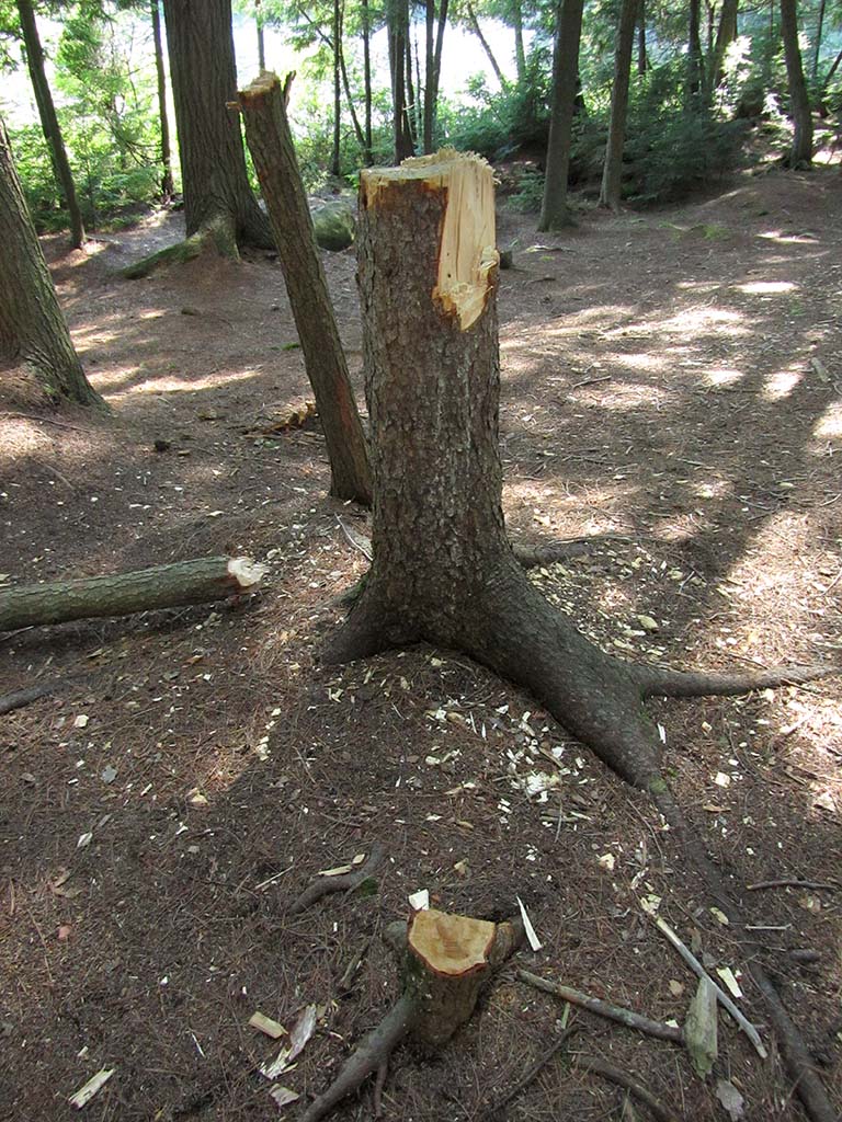
Vandalism of living trees was extensive on this site ..
![]()
North exposure: Shoreline trees block the view and wind.
East exposure: The point of the island is treed and blocks the view and east wind.
South exposure: A row of trees interrupts the view and blocks some of the southwind.
West exposure: The bulk of the island and its trees block any view and west wind.
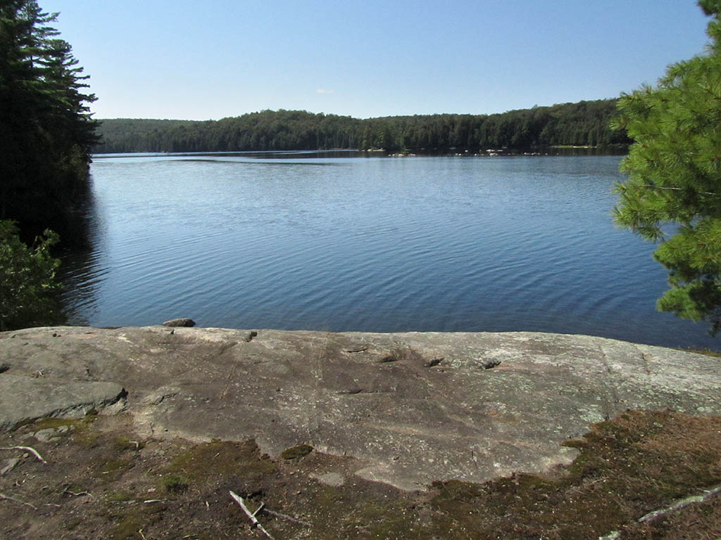
The large rock lookout has a clear view to the north .. great for star-gazing ...
![]()
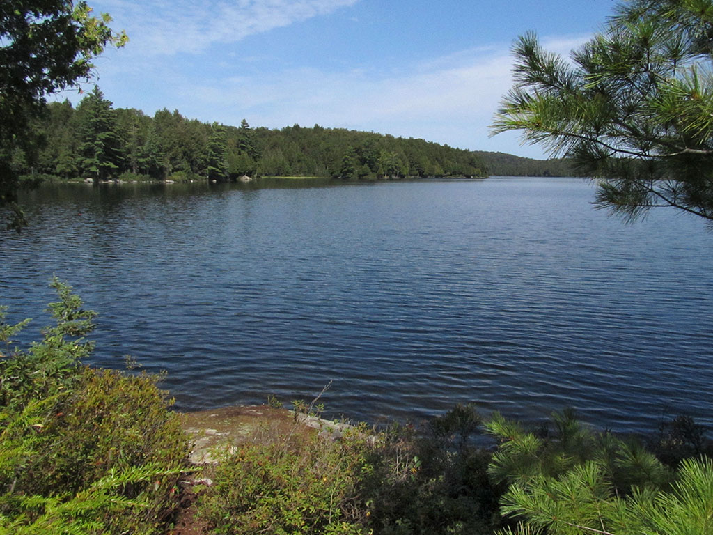
This much smaller lookout has a view east down the lake ...
![]()
General description: The trees surrounding the firepit and tentsite areas blockout the view of the lake and produce a very confined atmosphere. Two attractive viewing areas are located quite a distance away by trails that wind through the point's trees. The viewing areas are elevated well above the water and don't provide a safe swimming opportunity. Perhaps the confined nature of the campsite played a part in there being a lot of destruction done to trees.
Overall accessibility: Generally accessible from the water.
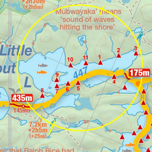
Thanks to Jeffrey McMurtrie of Jeff'sMap for supplying the base-layer map component by Creative Commons licensing.
Submitted by Barry Bridgeford .. January 11, 2014 .. visited August, 2013