 Little Cauliflower Lake Campsite #1
Landing
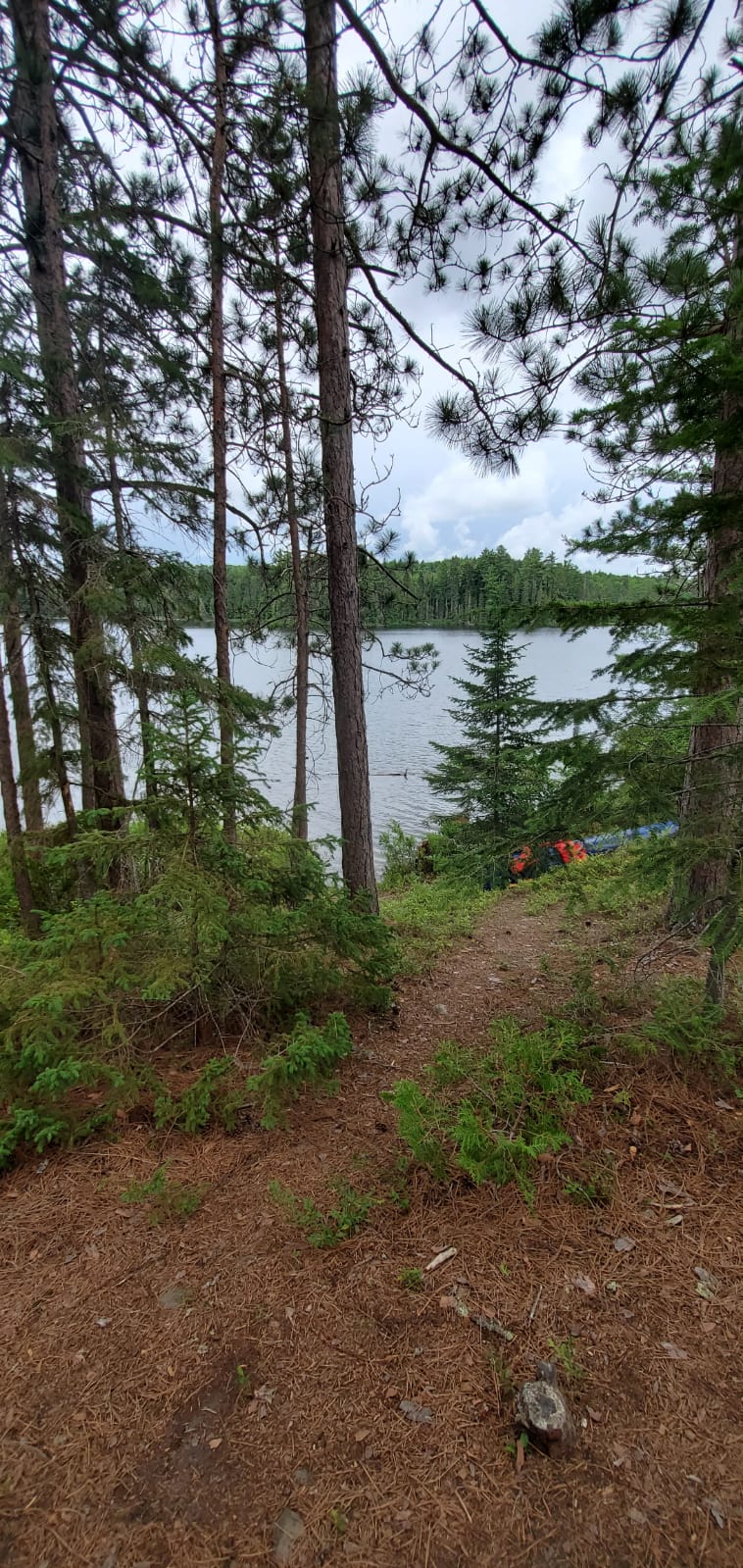
Topography of under-water approach: Gradual slope, slightly mucky with considerable deadfall of twigs, logs, etc.
Impediments to disembarking from and/or unloading a canoe: No significant impediments.
Topography to tent sites: Steep hill with multiple well-worn paths.
Looking down path coming up from the landing ...

![]()
Campsite
Campsite maintenance: Low maintenance.
Size of open area: 30m X 10m (approx.).
Extent of tree cover: Fairly open on all sides. It's on an island.
Degree of levelness: It's level at the firepit and tent sites. It slopes away at all other points.
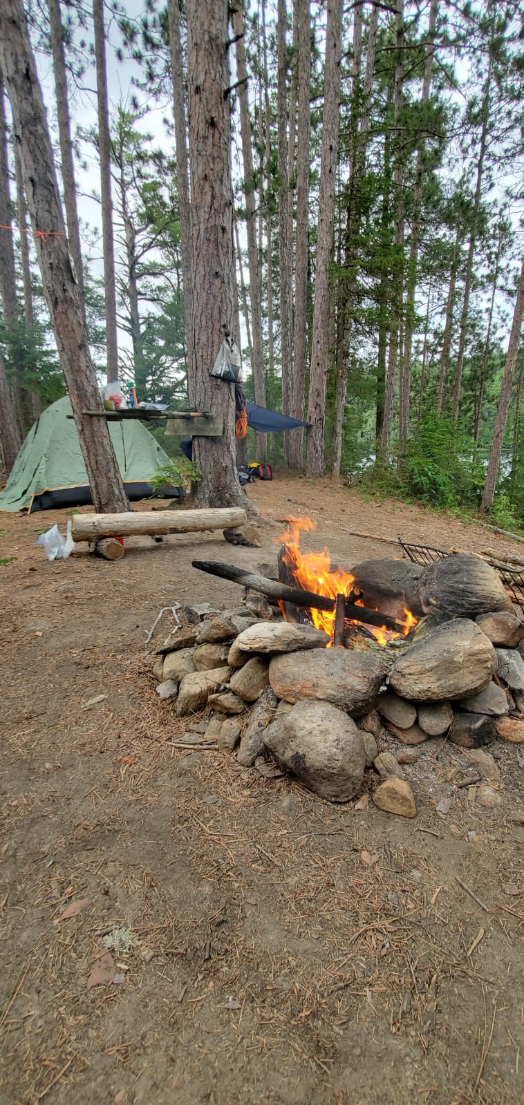
Number of level tent sites: 2 medium (3-4 person tent), 1 small (1-2 person tent).
North exposure: slightly treed, steep decline to water (no path).
East exposure: heavily treed, gradual decline to water (path to thunder box).
South exposure: slightly treed, steep decline to water (path to canoe launch).
West exposure: heavily treed, gradual decline to water (path to swimming area).
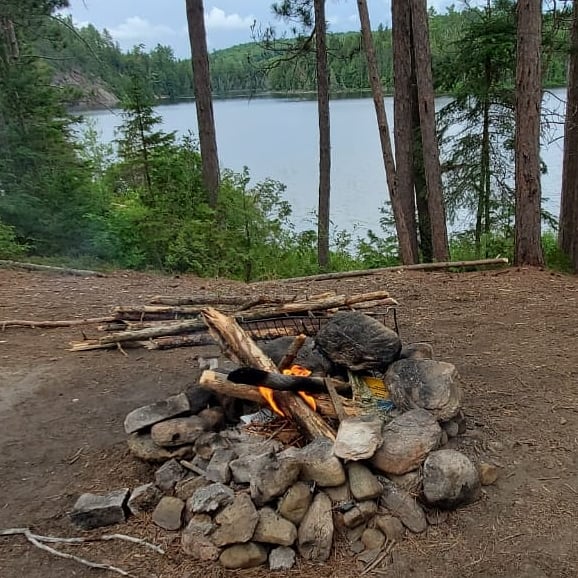
Looking south across the firepit ...

Medium tentsite east of the firepit ...

![]()
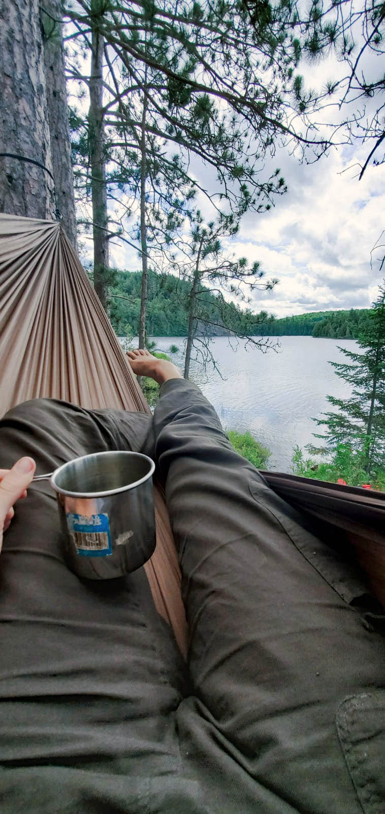
View south from west edge of campsite ...

![]()
View west from the edge of the campsite ...

![]()
General description: This is a fairly open hill-top island campsite. It's in some disrepair, with garbage present .. old tarp, bag of charcoal, beer bottles, and chopped down saplings). It was very low on firewood, but lots was available around the lake). It has views of the lake to the south and west. It's best suited for parties of 4 or less. Unfortunately, the thunder box is very close to the living area.
Overall accessibility: It's a difficult portage from Cauliflower to Little Cauliflower, with a poorly maintained trail which is hilly and muddy. The campsite itself is easily accessible, although it has a somewhat steep entry from canoe landing area.

Thanks to Jeffrey McMurtrie of Jeff'sMap for supplying the base-layer map component by Creative Commons licensing.
Submitted by Brad Naylor .. Visited July 11th, 2020 .. Submission July 14th, 2020