 Portage 1040 meters - Sinclair to Kawa
Length of portage: 1040 meters.
Portage maintenance regular or low: Regular.
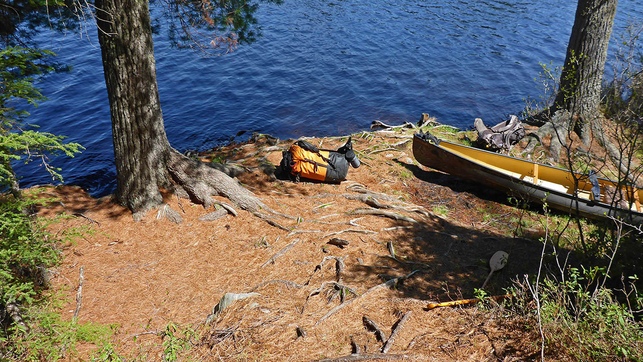
Landing on Sinclair Lake (elevation 376m)
Topography of under-water approach: Shallow water, small rock, sand and silt.
Impediments to disembarking from and/or unloading a canoe: No issues. Can accomodate 2 canoes and gear. More canoes are crowded.
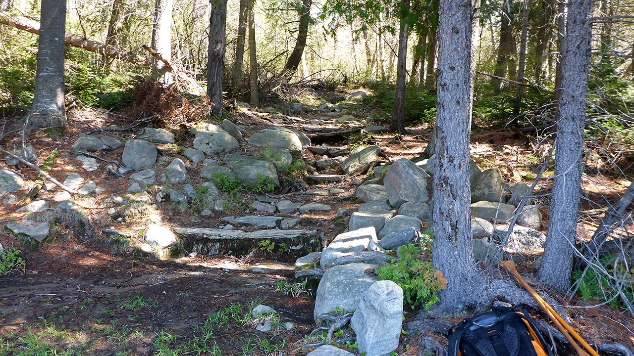
Topography of the ascending grade: Very rocky to start. A rock staircase leads away from the landing.
Impediments to moving gear to portage trail: None. Trail begins immediately at the landing.
Trail is at the right side ...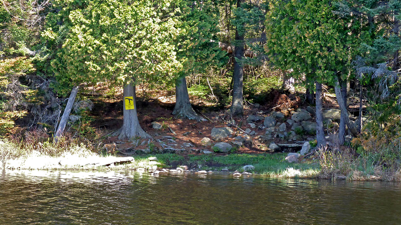
Portage Trail (peak elevation 413m)
Elevation profile ...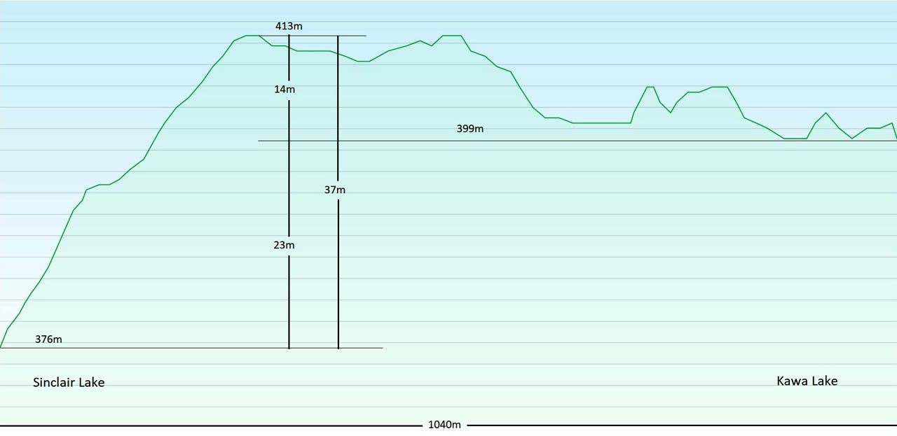
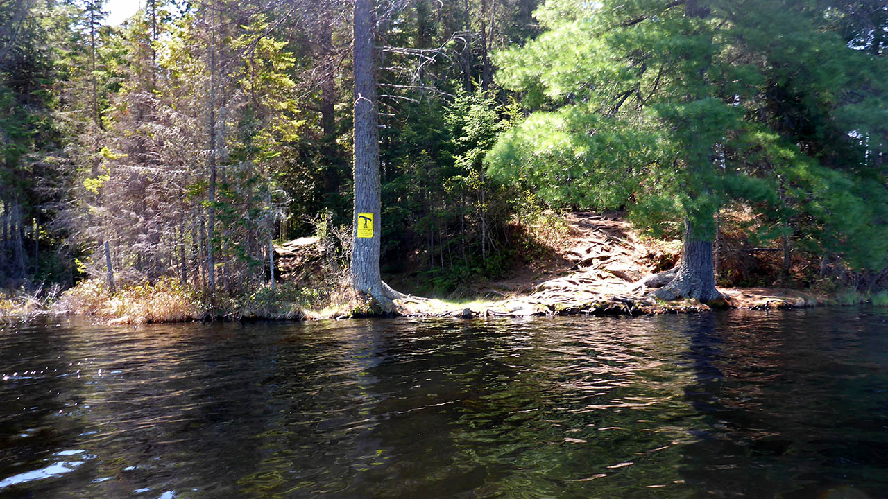
Landing at Kawa Lake (elevation 399 meters).
Topography of under-water approach: Small/medium size rocks. Knee deep water with a fairly quick drop-off.
Impediments to disembarking from and/or unloading a canoe: Roots line the shore, but no impediments.
Topography of the ascending grade: Path is rocky and rooty.
Impediments to moving gear to portage trail: A small area next to the landing can be used to stage gear prior to portaging.
Small area that could be used for gear ...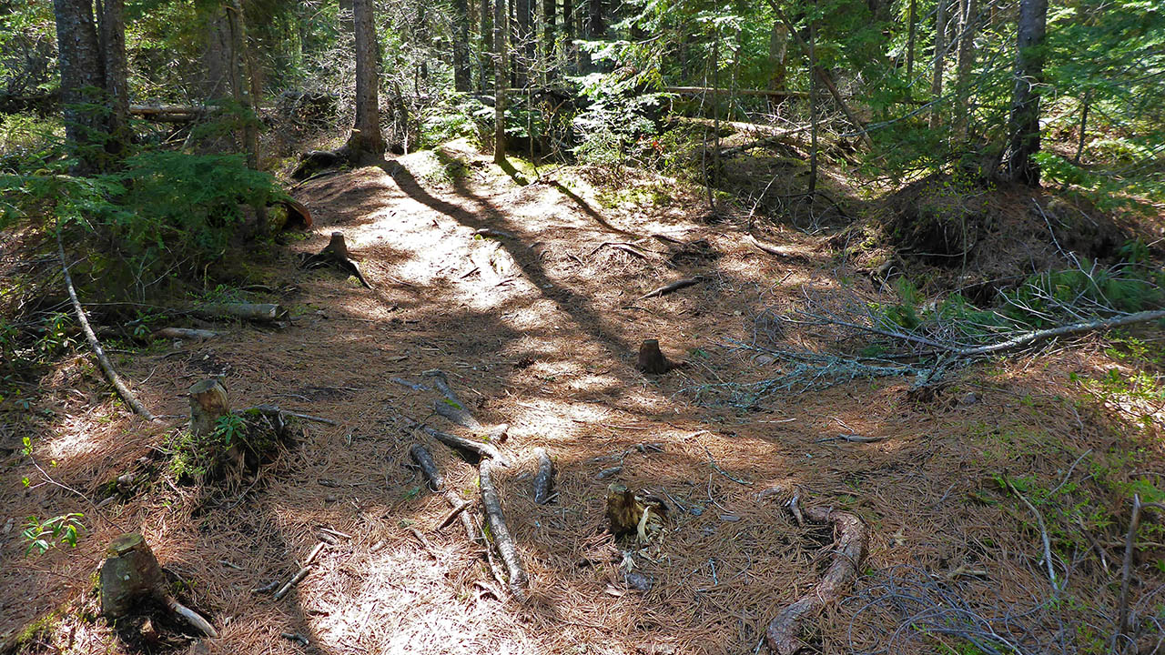

Thanks to Jeffrey McMurtrie of Jeff'sMap for supplying the base-layer map component by Creative Commons licensing.
Submitted by Chris Taylor, visited May 2015, submitted November, 2019