 Portage 50 meters - From Hornbeam Around Twin Falls
Length of portage: 50 meters (signed 90 meters).
Portage maintenance regular or low: Regular.
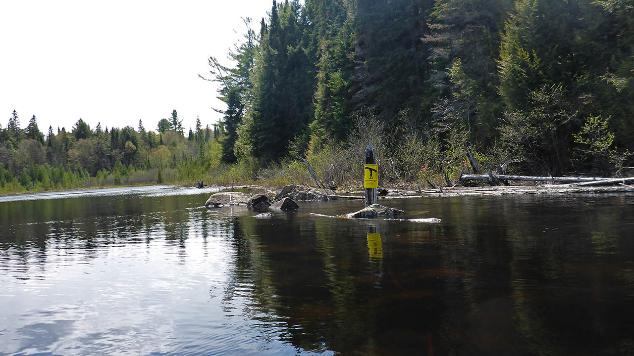
Landing on Hornbeam downstream of Twin Falls (elevation 366m)
Topography of under-water approach: Mud and silt.
Impediments to disembarking from and/or unloading a canoe: Small landingarea that seems to collect various impediments.
Topography of the ascending grade: A short, steep climb that is quite rooty.
Impediments to moving gear to portage trail: None.
Approaching the landing ...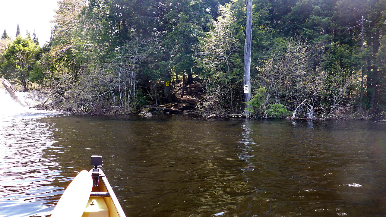
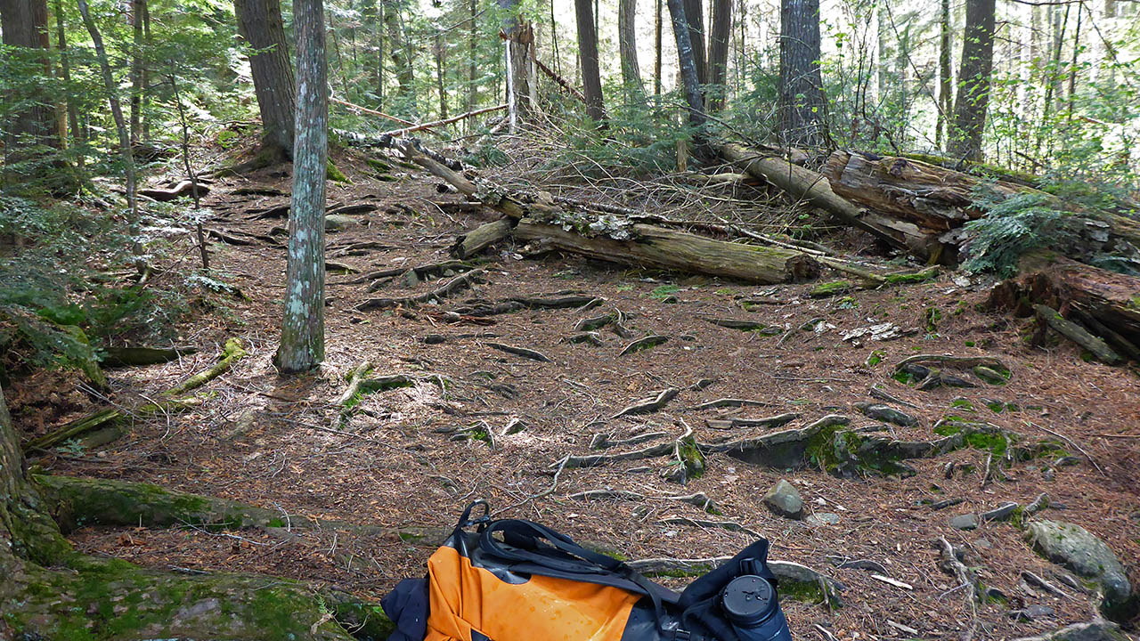
Portage Trail (peak elevation 369m)
General description: Signed at 90m, Jeff's Map says 50m. It feels closer to 25m. It isn't worth putting on backpacks to make this portage. It's that sort!
Topographical impediments to traveling: Both ends of the trail require some caution due to the incline and presence of roots.
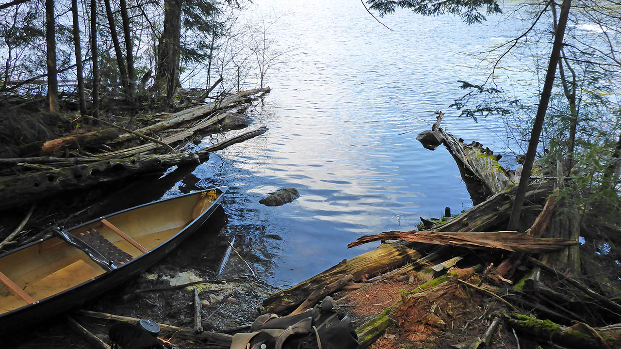
Landing on Hornbeam Lake - upstream (elevation 368 meters).
Topography of under-water approach: Large slab of rock with a significant slope.
Impediments to disembarking from and/or unloading a canoe: Landing area is a large rock with a significant slope that can be slippery when wet.
Topography of the ascending grade: The rock is the ascending grade with large roots at the top.
Impediments to moving gear to portage trail: Large roots "defend" the start of the trail.
Large roots at the top of the trail ...

Thanks to Jeffrey McMurtrie of Jeff'sMap for supplying the base-layer map component by Creative Commons licensing.
Submitted by Chris Taylor, visited May 2015, submitted October 27th, 2019