 Portage 140 meters - From Hornbeam To Biggar
Length of portage: 140 meters.
Portage maintenance regular or low: Regular.
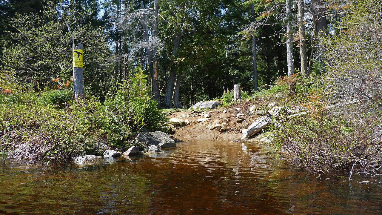
Landing on Hornbeam (elevation 368m)
Topography of under-water approach: Mud and silt. Shallow water
Impediments to disembarking from and/or unloading a canoe: Shoreline is rocky and rooty, but no real issues.
Topography of the ascending grade: Rooty and rocky up to staging area, then a smooth level trail.
Impediments to moving gear to portage trail: None.
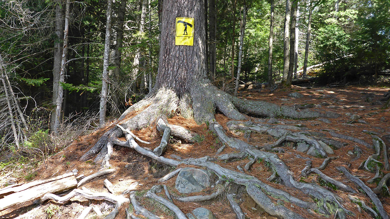
Large roots dominate this landing ...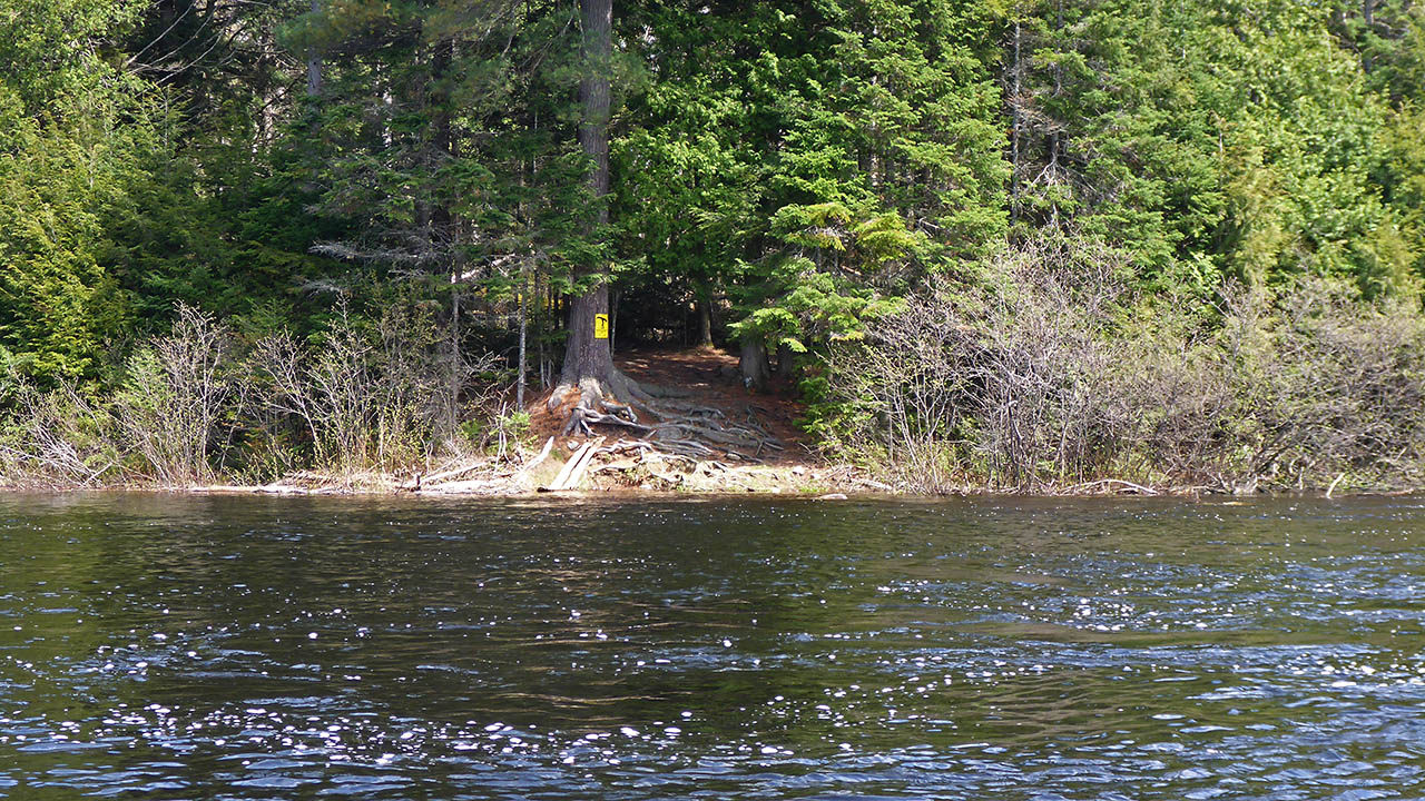

Portage Trail (peak elevation 371m)
General description: Level smooth trail.
Topographical impediments to traveling: None.
Areas suseptible to impact by periods of rain or beaver flooding: As the trail is relatively flat, many areas could become quite wet.
Trail is flat and level ...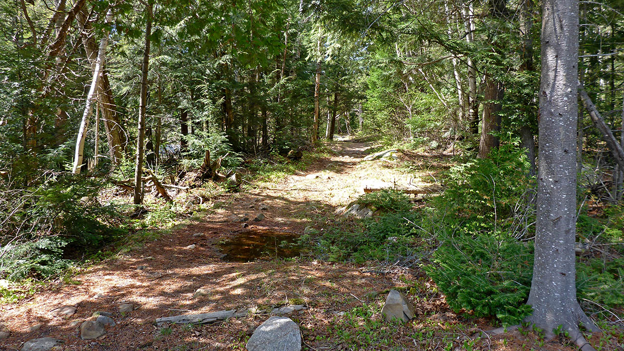
Landing at Biggar Lake (elevation 369 meters).
Topography of under-water approach: Shallow water, sandy bottom.
Impediments to disembarking from and/or unloading a canoe: The landing is narrow, and has steep sides.
Topography of the ascending grade: Lift from the canoe, directly to the staging area.
Impediments to moving gear to portage trail: None. The staging area is very large and is at the same level as the trail.
Small grassy field for staging area ...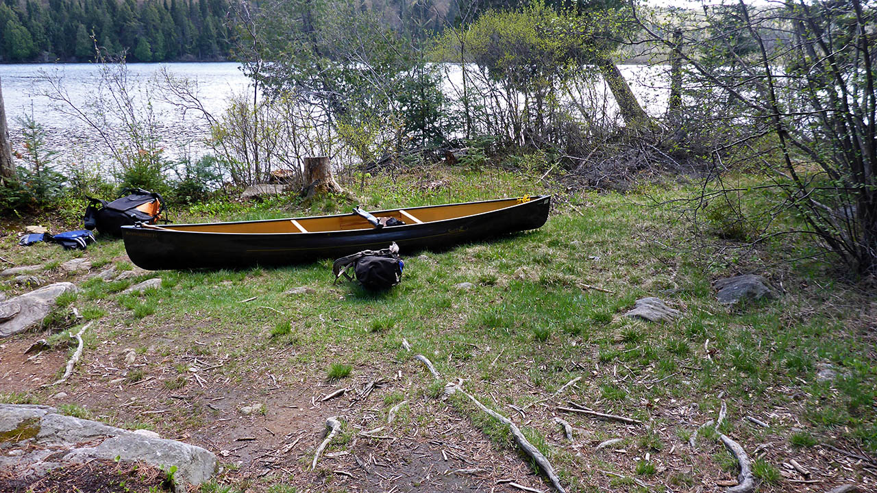

Thanks to Jeffrey McMurtrie of Jeff'sMap for supplying the base-layer map component by Creative Commons licensing.
Submitted by Chris Taylor, visited May 2015, submitted October 27th, 2019