 Harness Lake Campsite #5
Landing
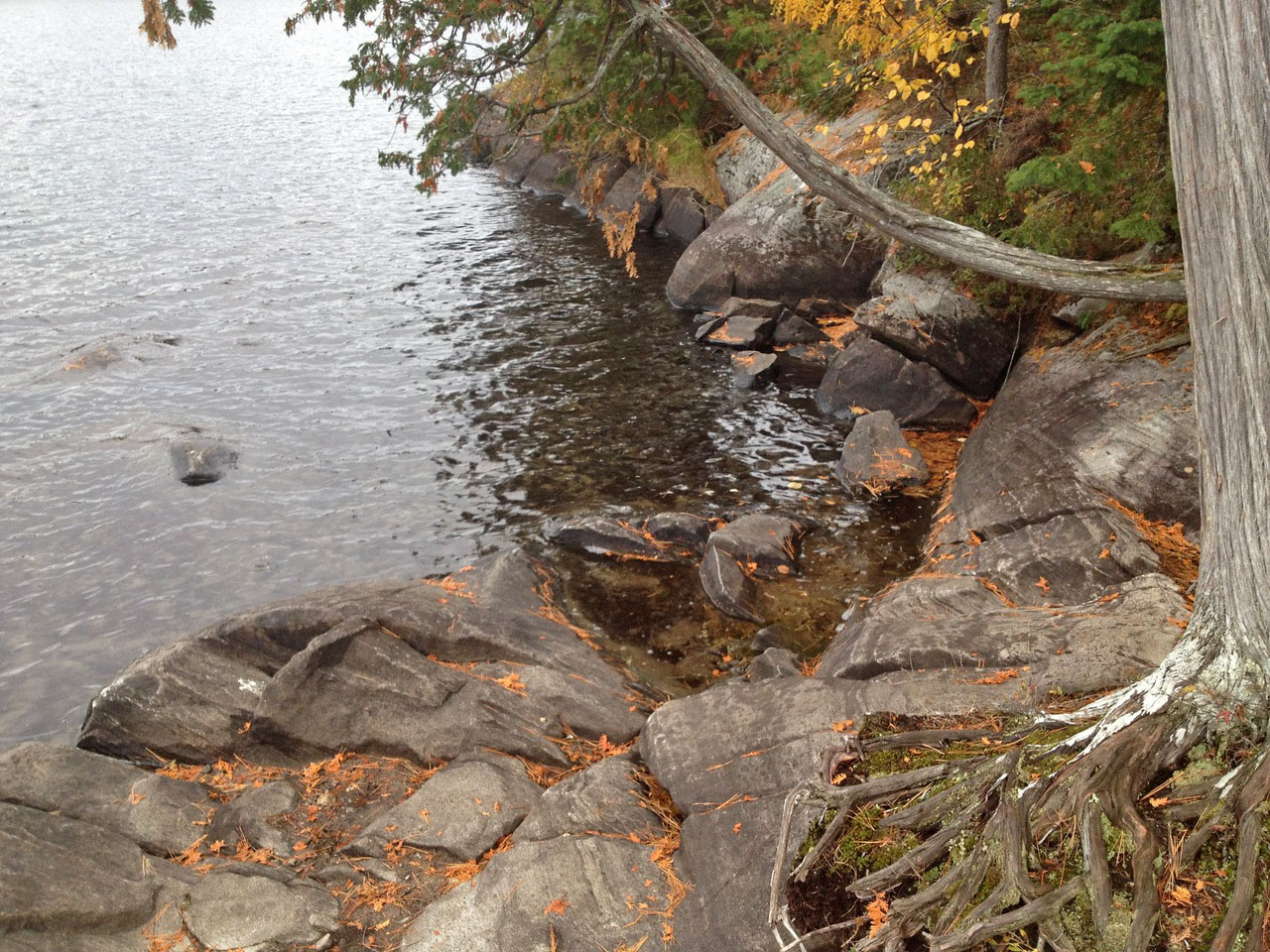
Topography of under-water approach: Rocks.
Impediments to disembarking from and/or unloading a canoe: Very rocky. Hard to unload canoe. Might be easier in higher water level when you can pull up further, or lower water level when you have more rock surface to step on to.
Topography to tent sites: Small incline from landing to campsite.
 |
|
| RockyLanding. | |
 |
|
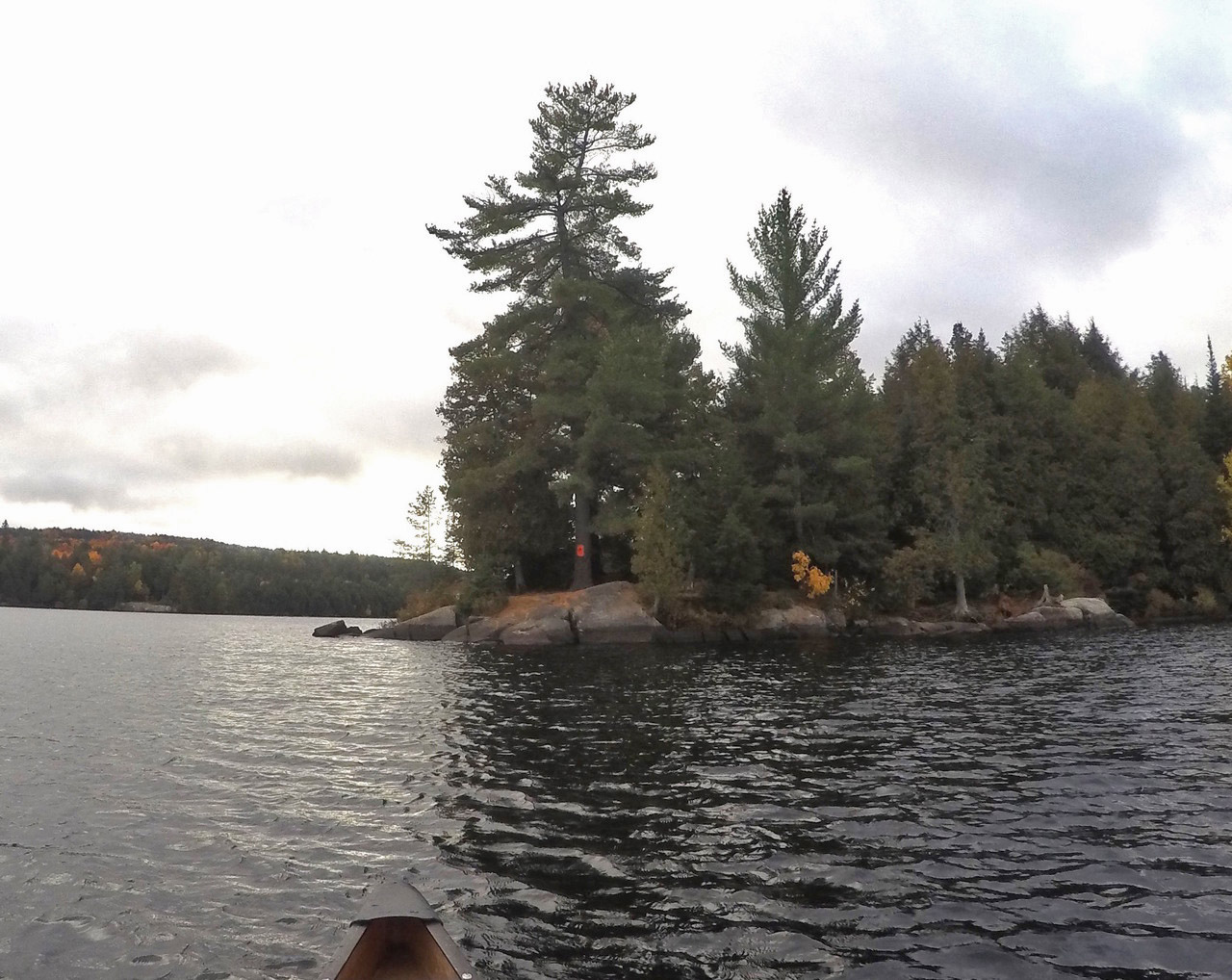
| View of the campsite from the water. | |
Campsite
Campsite maintenance: Regular
Open ground area: Tons of space.
Extent of tree cover: Campsite is very open, with some tree coverage but not much. Behind the campsite is heavy tree coverage.
Degree of levelness: Short incline from water to campsite. Otherwise it's all flat.
Number of level tent sites: Several (3+) small to medium sized tent sites. Some are exposed, near fire pit. Some are covered, at rear of campsite.
North exposure: Mostly exposed.
East exposure: Mostly exposed.
South exposure: Mostly exposed.
West exposure: Tree coverage.
 |
|
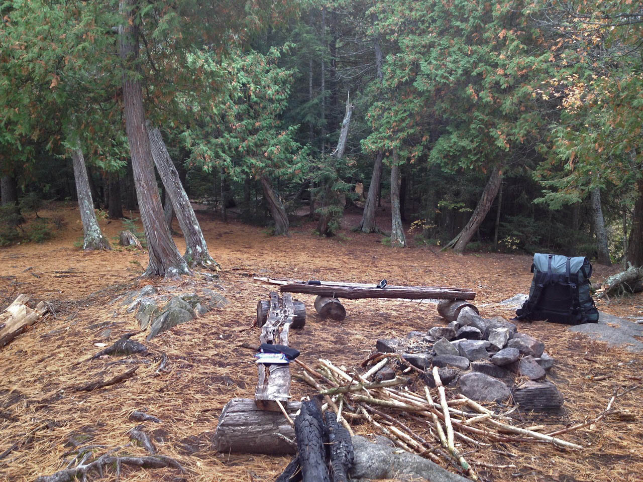
| Firepit Area. | |
 |
|
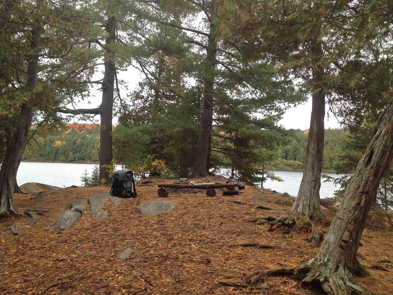
| Looking out of the campsite, east across the lake. | |
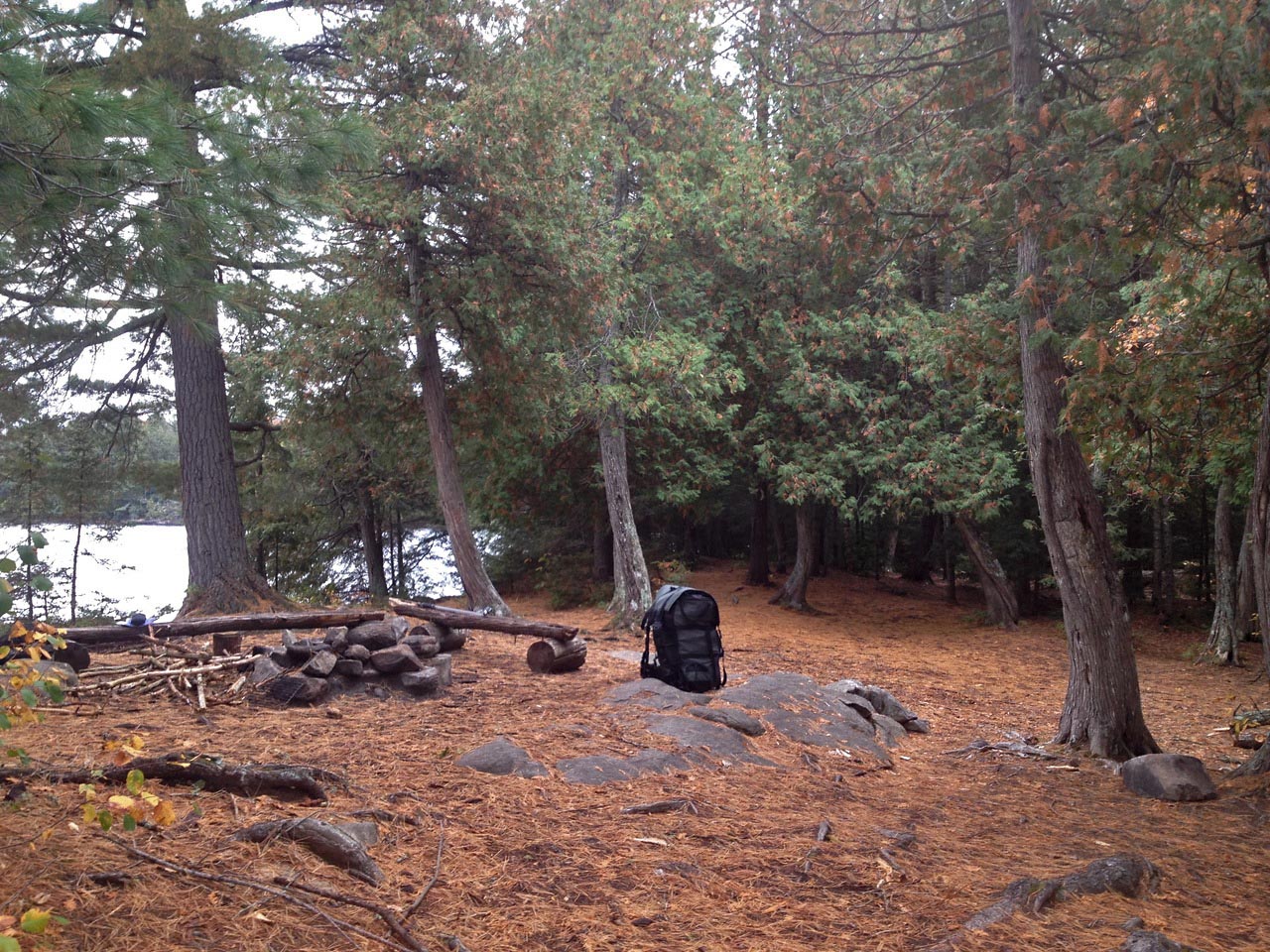 |
|
| Looking westward across the campsite. | |
 |
|
| Another view across the campsite, facing west. | |
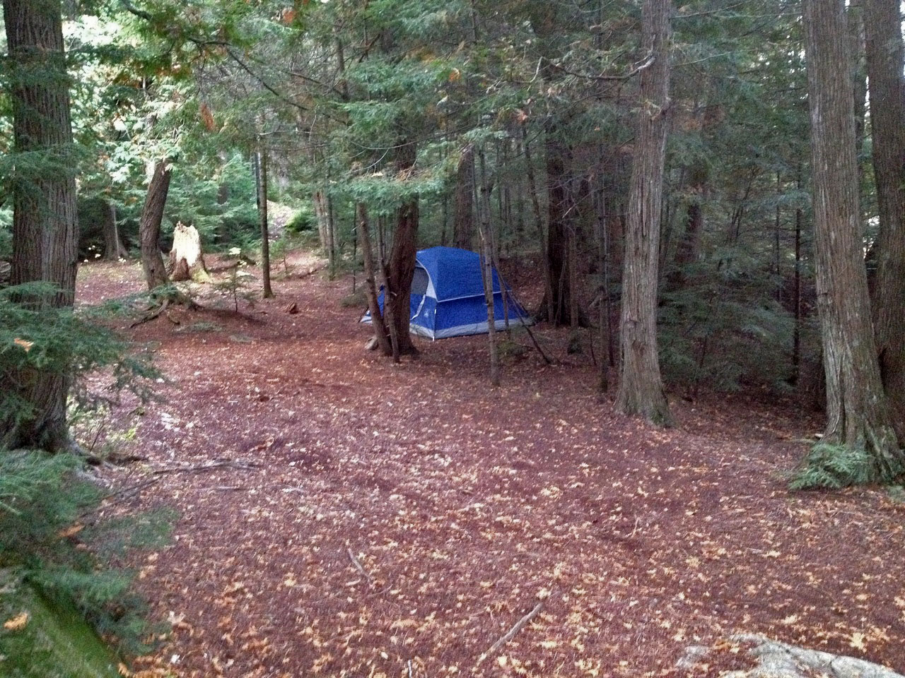 |
|
| One of the sheltered tentsites at the back of the campsite. | |
General description: Nice campsite with average seating area/kitchen. Good exposure east and west for sunrise/sunset. Good area for stargazing. Not amazing for swimming. Lots of flat tent spots. Not an all-time favourite but would recommend. Plenty of lightning struck trees throughout island - might want to avoid during stormy weather
Overall accessibility: Hard to disembark, but otherwise no issues.

Thanks to Jeffrey McMurtrie of Jeff'sMap for supplying the base-layer map component by Creative Commons licensing.
Submission February 7, 2017 by Cody S. ... visited October, 2016