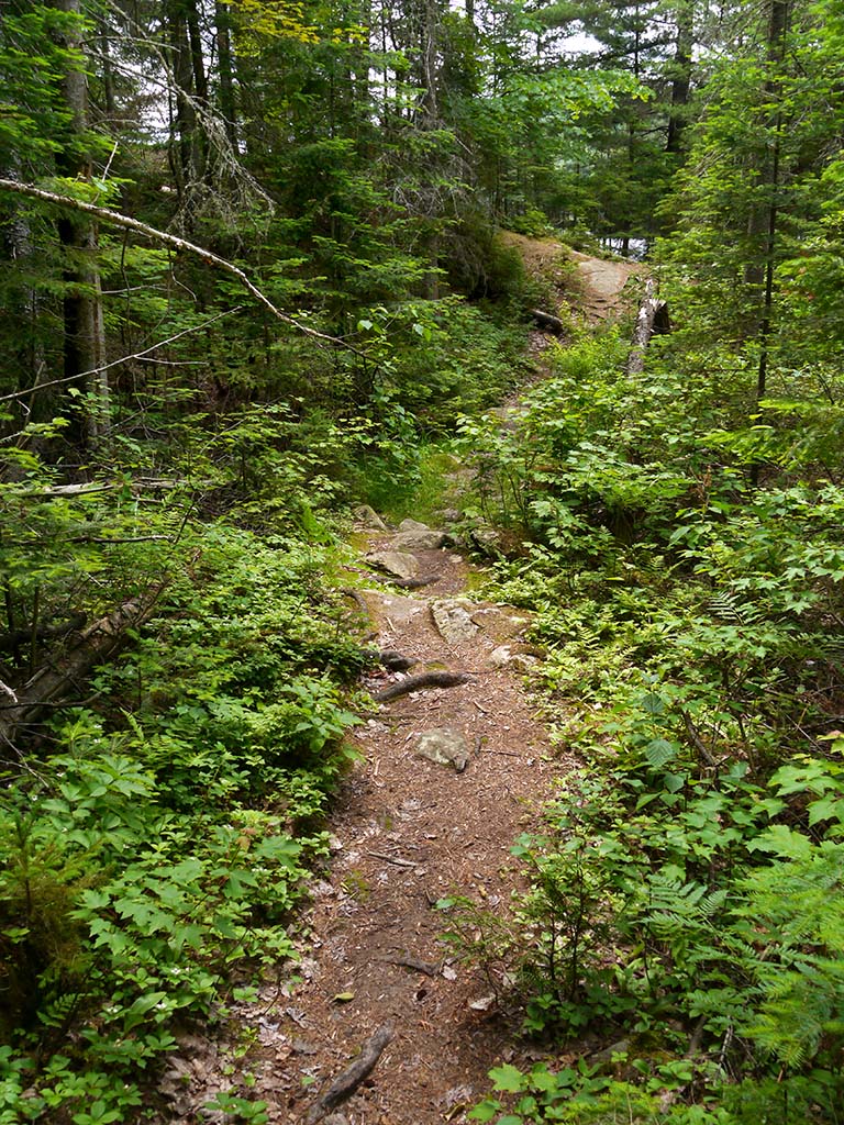
 Galeairy - Night Portage
Portage
Length: 80 meters
Portage maintenance: regular
Elevation above Sea Level @ Galeairy Lake: 390 meters
Elevation above Sea Level @ St Andrews Lake: 391 meters
Rise/Fall Overall: A mere 1 meter down to the Galeairy Lake side.
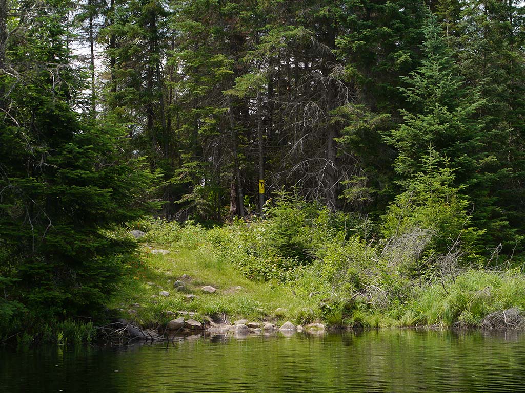
Landing at: Galeairy Lake
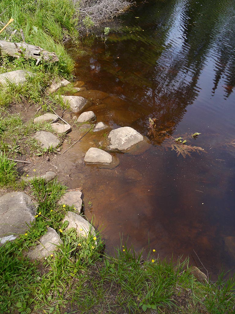
Topography of under-water approach: Muck and small boulders.
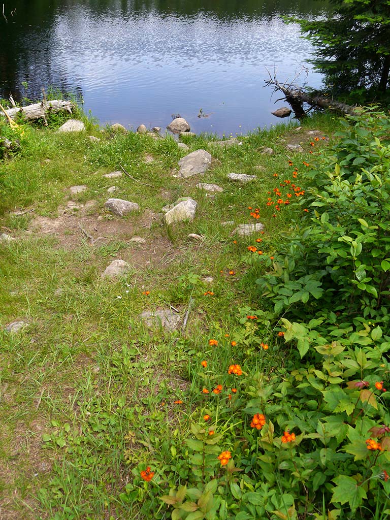
Available surface area for managing canoes: Room for at least 3 canoes + gear at a time.
Impediments to disembarking from and/or unloading a canoe: Muck and rocks require care during in-water unloading.
Topography of the ascending grade: moderate slope up to trail.
Impediments to moving gear to portage trail: None. There's a small area to pull canoes out of the water and to organize gear.
Galeairy Lake canoe landing from the water ...
![]()
Combination of muck and small boulders at landing ...
![]()
Small area for parking canoes and sorting gear ...
![]()
Portage Trail
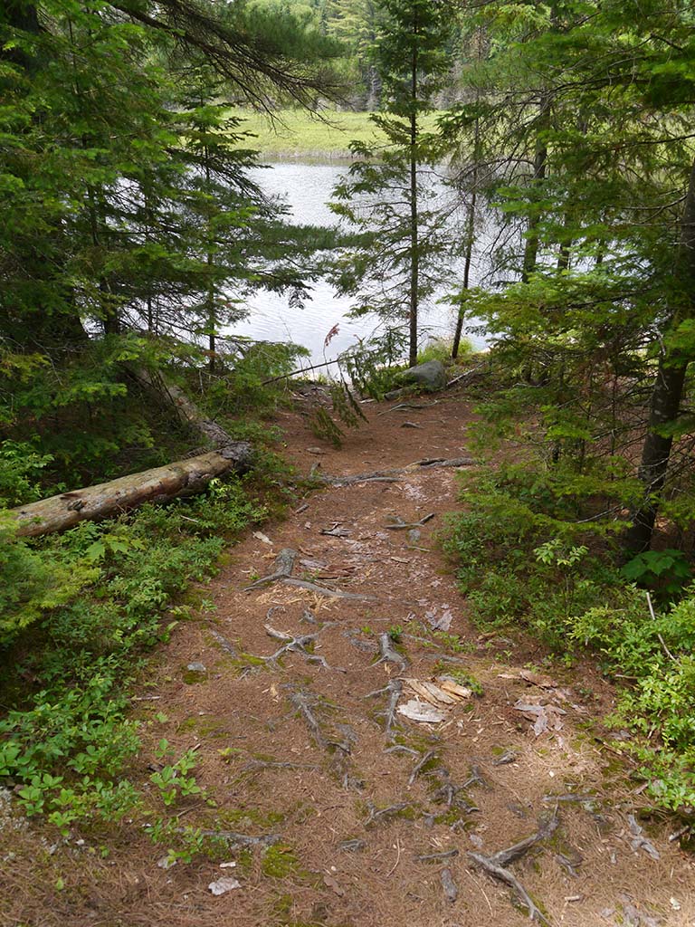
General description: Short, narrow, bit rough, but on very easy firm ground.
Topographical impediments to traveling: None.
Areas susceptible to impact by periods of rain or beaver flooding: None
Approaching the Night Lake landing ...
![]()
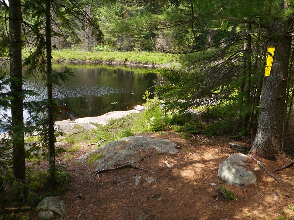
Landing at: Night Lake
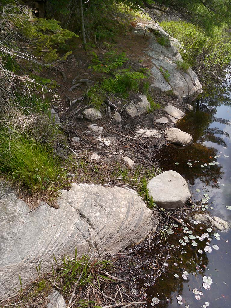
Topography of under-water approach: Muck with the odd rounded rock, to the south of the large rock mass which is to steeply sloped for safe unloading.
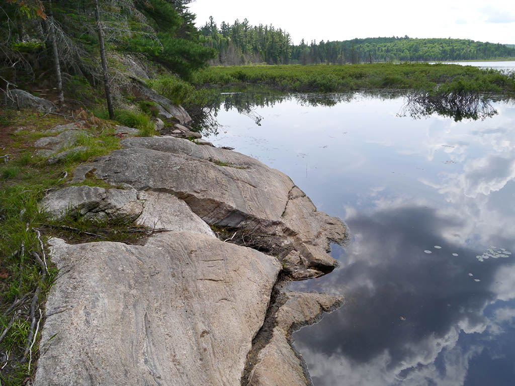
Available surface area for managing canoes: Narrow landing means that any canoe-parking and gear sorting should be done on the large rock to the north of the landing.
Impediments to disembarking from and/or unloading a canoe: Shallow muck landing means in-water unloading is probable.
Impediments to moving gear to portage trail: Very short rise to portage trail
Night Lake landing is behind tress to the left ...
![]()
The narrow landing has sloped muck and rocks ...
![]()
This large rock provides room for canoe-parking and the sorting of gear ...
![]()
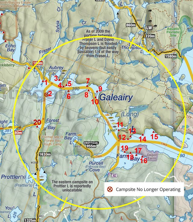
Thanks to Jeffrey McMurtrie of Jeff'sMap for supplying the base-layer map component by Creative Commons licensing.
Submitted by Barry Bridgeford, September 2013 .. visited June 2013
