 Galeairy Lake Campsite #7
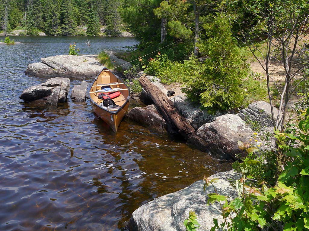
Landing
Topography of under-water approach: Very rocky.
Impediments to disembarking from and/or unloading a canoe: Narrow cleft in rock suites one canoe at a time.
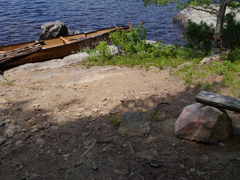
Topography to tent sites: A short rough rise to firepit and then through a rough area with fallen tree stumps back to the only two tentsites.
Rocky landing with limited options depending on water level ...
![]()
Rise to firepit has rock, dirt and loose stones ...
![]()
Campsite
Regular or low-maintenance: Regular
Size of open area: The topography is rough and unlevel, separated by areas of rock and old cut-up blowdown stumps. Most of the campsite is open to the sky.
Extent of tree cover: Tentsites have some smaller trees surrounding them.
Degree of levelness: Campsite is broken-up into separate areas .. uneven overall.
Number of level tent sites: only 2 tent sites.
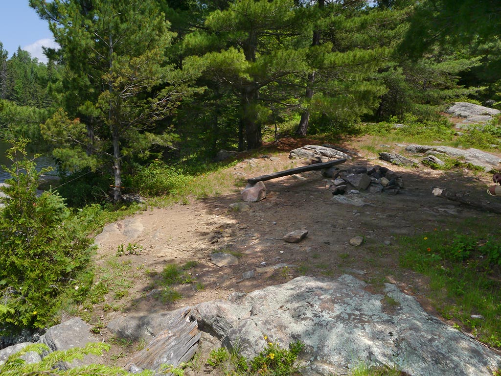
The firepit overlooks the landing area ...
![]()
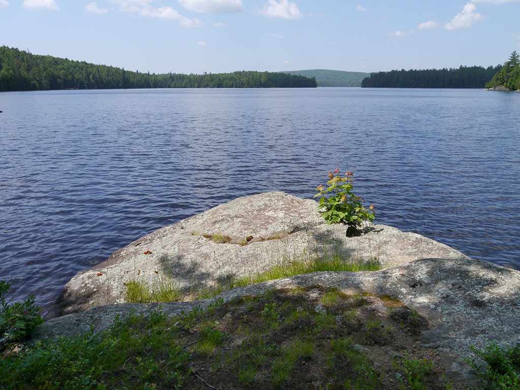
Rocks south of firepit lead to rocky point with western view of the lake ...
![]()
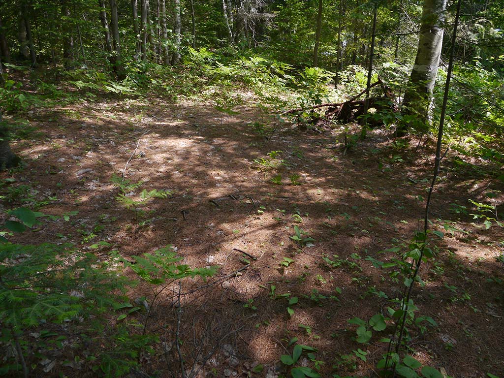
Behind the firepit and past a rough area of cut-up blowdowns is this little-used rough tentsite ...
![]()
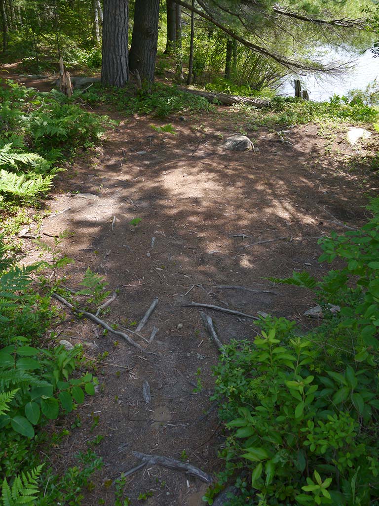
The second tentsite is also less than ideal ...
![]()
North exposure: Smaller trees.
East exposure: Forest.
South exposure: A few trees and the lake channel.
West exposure: Open view of the lake, with afternoon sun and evening sunset view.
General description: The rough topography and the fact that there are only two old rough tentsites .. make this a 'poor' campsite. It appears to get used by weekender-motorboat-day-trippers out of Whitney as a lunch-stop, as was attested to by half a smashed watermelon and paper napkins left in the firepit.
Overall accessibility: Between the rough rock landing area, the rise to the firepit and the rough access to the tentsites .. this campsite is not very 'accessible'.
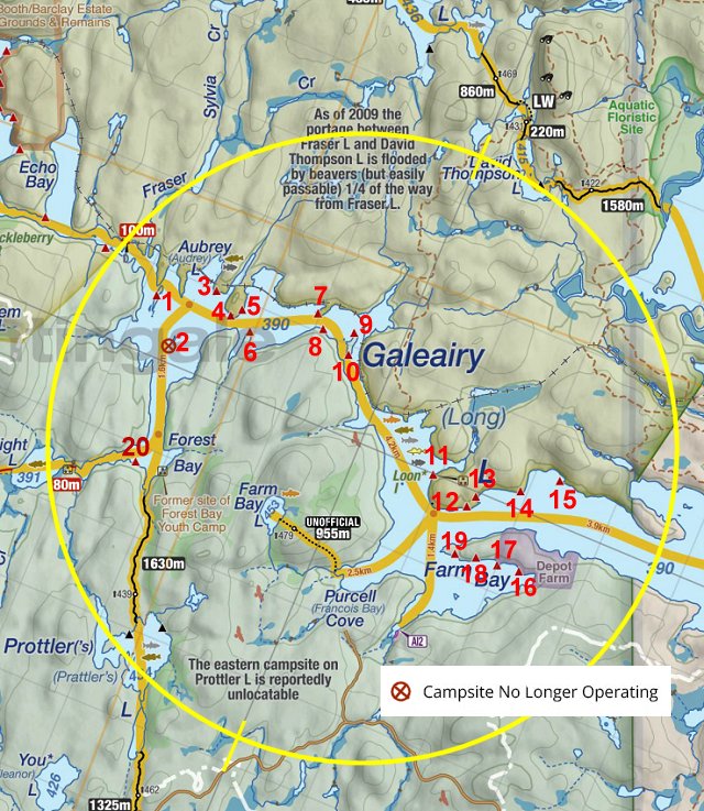
Thanks to Jeffrey McMurtrie of Jeff'sMap for supplying the base-layer map component by Creative Commons licensing.
Submitted by Barry Bridgeford .. September 2013 .. Visited June, 2013