 Farm Lake Campsite #5
Landing
Topography of under-water approach: Deep and muddy.
Impediments to disembarking from and/or unloading a canoe: No shallow spots, steep and muddy.
Topography to tent sites: Approx. 15 feet up on a ridge..
South landing .. (There's a steep landing on north side too.) ...
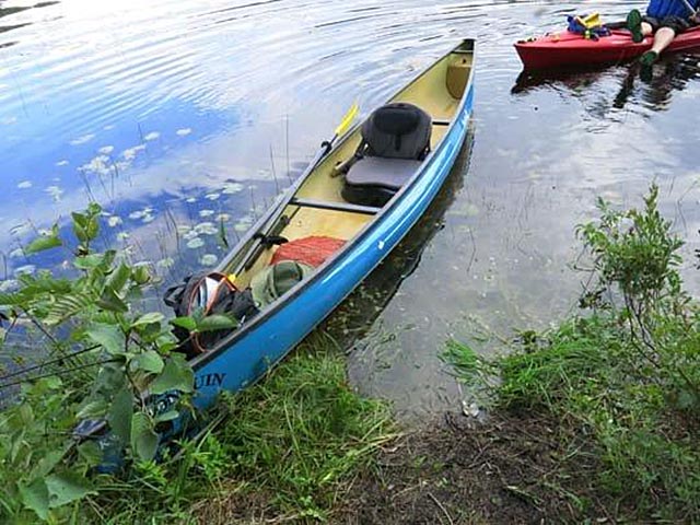
Upstream landing during low water in 2007 (photo: B. Bridgeford) ...
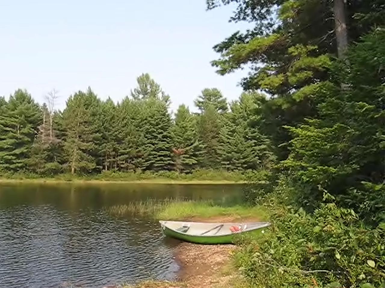
![]()
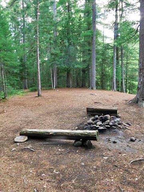
Campsite looking north on the ridge ...
Lower part of the campsite was soft and wet ...
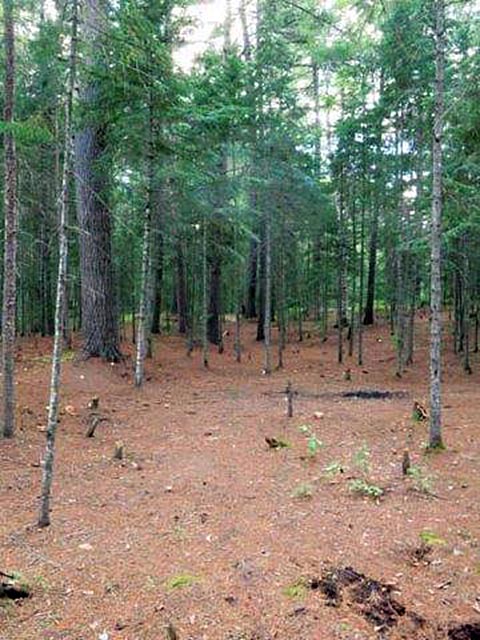
Campsite
Campsite maintenance: regular
Size of open area: approx. 30' x 40' .
Extent of tree cover: approx. 100% canopied.
Degree of levelness: Level.
Number of level tent sites: Many.
North exposure: River.
East exposure: River .. looking across at campsite #6.
South exposure: Trees.
West exposure: Trees.
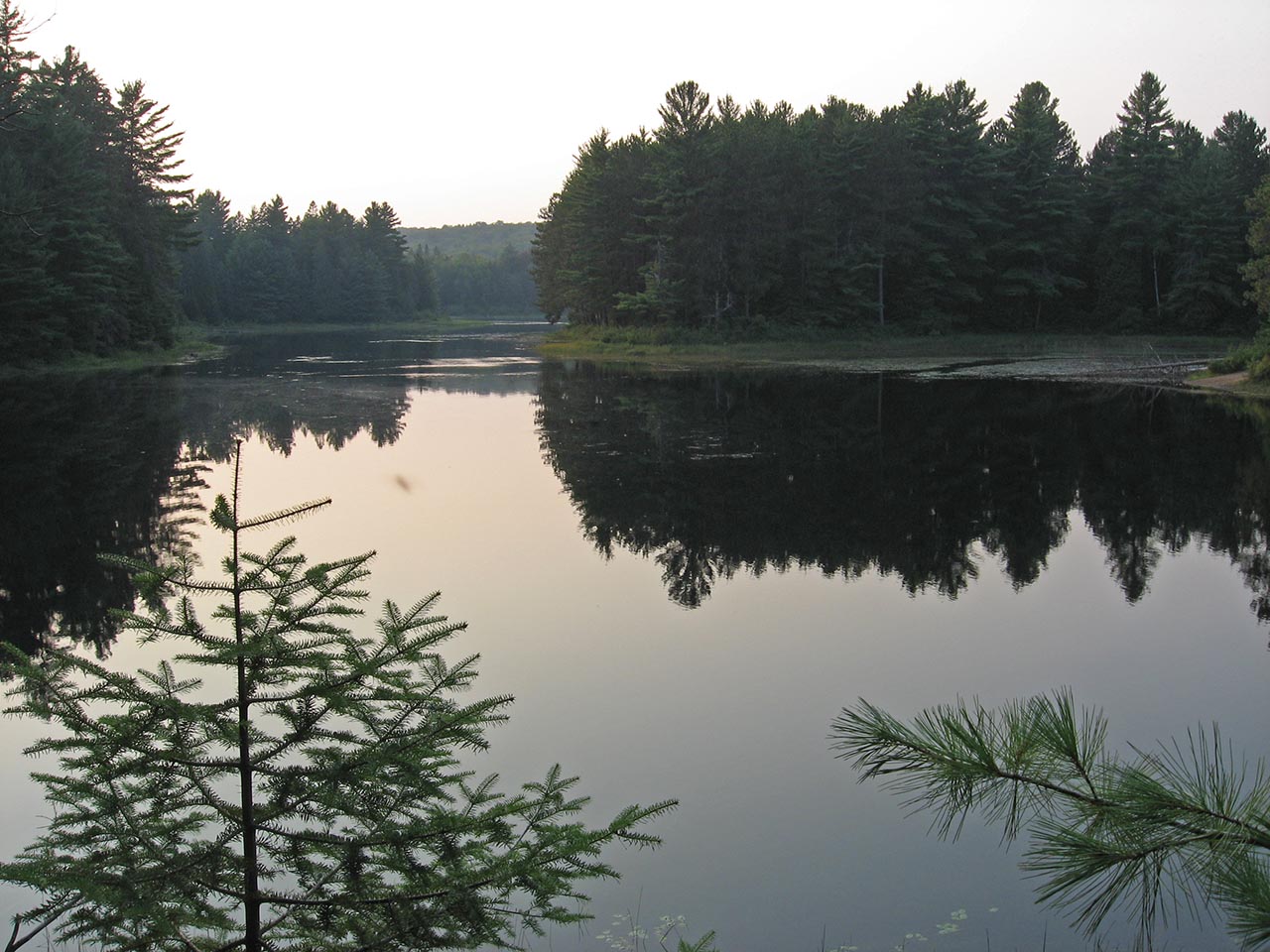
View upriver in 2007 (photo: B. Bridgeford) ...
![]()

Thanks to Jeffrey McMurtrie of Jeff'sMap for supplying the base-layer map component by Creative Commons licensing.
Submitted by Wanda Spruyt .. Visited 2017 .. Submission October 6th, 2017