 Cauchon Lake Campsite #9
Landing
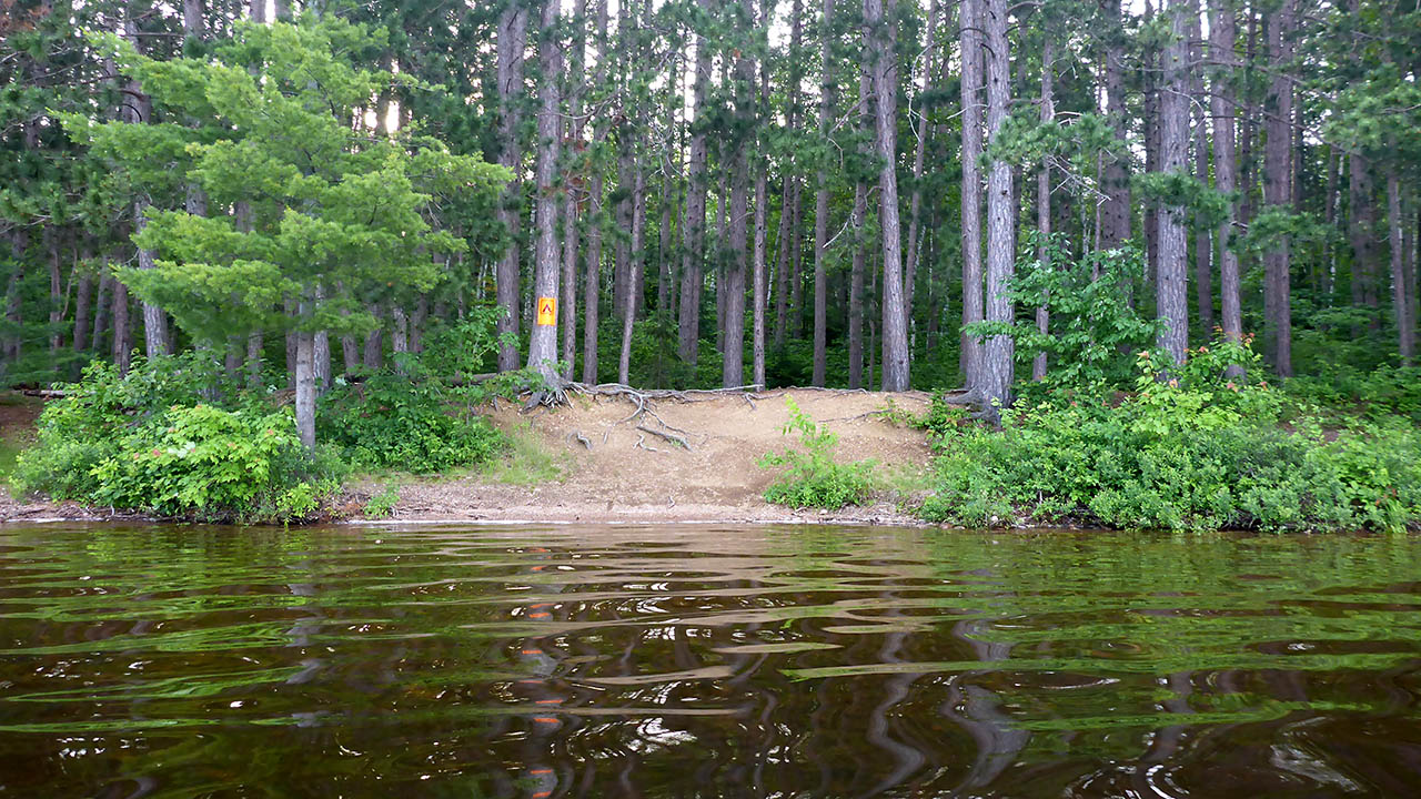
Topography of under-water approach: Gravel beach.
Impediments to disembarking from and/or unloading a canoe: None.
Topography to tent sites: A steep rise of approx. 2 meters.
|
|
| Landing can be made anywhere along the front of campsite. | |
Campsite
Campsite maintenance: Regular.
Size of open area: 30m x 10m.
Extent of tree cover: 70%.
Degree of levelness: Very level.
Number of level tent sites: Many.
North exposure: Trees.
East exposure: Trees.
South exposure: Trees.
West exposure: View of lake.
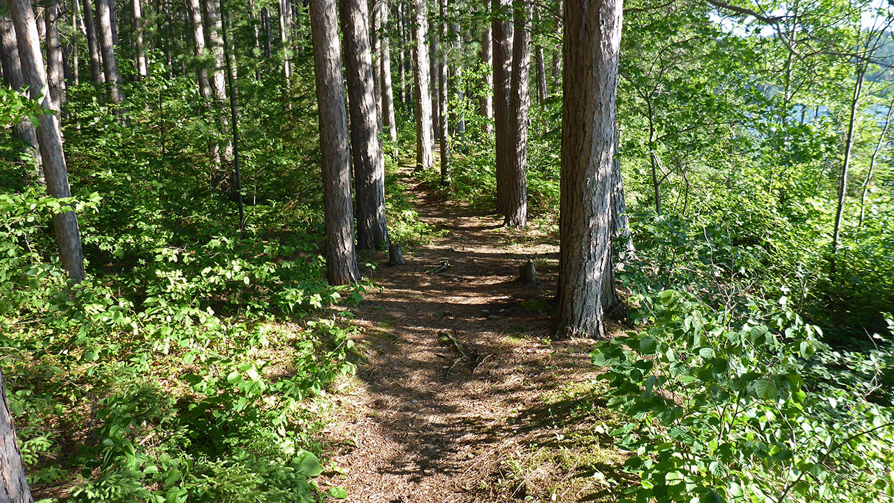
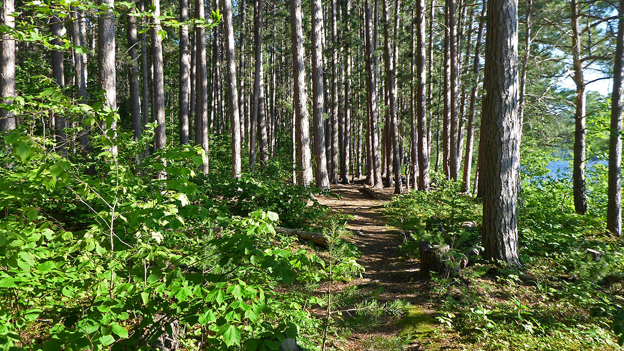
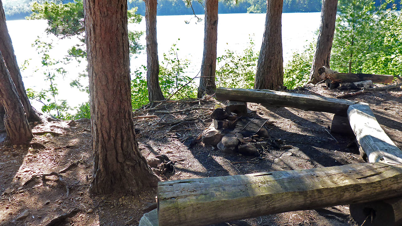
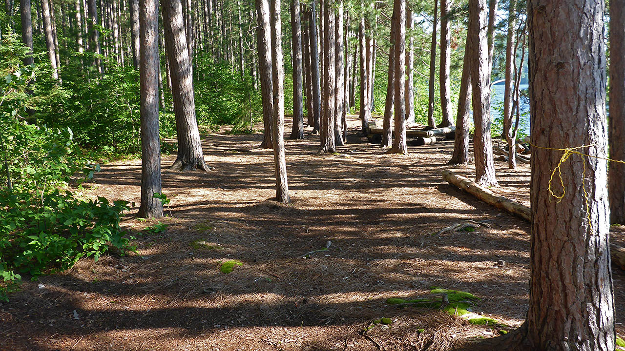
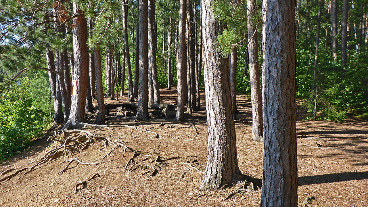
General description: Sites CS #8, CS#9, and CS#10 are connected by a well worn path. This campsite has an open view of the lake. It is a very flat and level site that is wider than it is deep. A nice firepit that is open to wind from the west, but otherwise is well protected. Site can accommodate a large number of tents easily. Even though there a many trees that break up the site, the spaces are large enough and flat enough to erect 2 or 3 man tents.
Overall accessibility: Other than a steep rise from the water to the site proper, no accessibility issues.
|
|
| Path from CS#9 to CS#8. | |
|
|
| Path from CS#10 to CS#9. | |
|
|
| Pretty good view of lake. | |
|
|
| View of site looking from the north. | |
|
|
| View of site looking from the south, also shows erosion to the landing. | |

Thanks to Jeffrey McMurtrie of Jeff'sMap for supplying the base-layer map component by Creative Commons licensing.
Submitted by Chris Taylor .. Visited July, 2017 .. Submission February 16, 2019