 Cauchon Lake Campsite #8
Landing
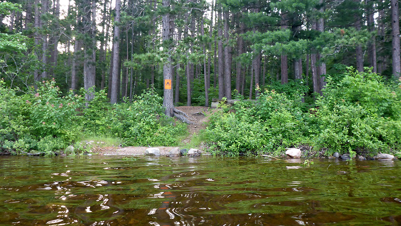
Topography of under-water approach: Gravel beach.
Impediments to disembarking from and/or unloading a canoe: None.
Topography to tent sites: A steep rise of approx. 2 meters.
|
|
| A short, steep carry to site. | |
Campsite
Campsite maintenance: Regular.
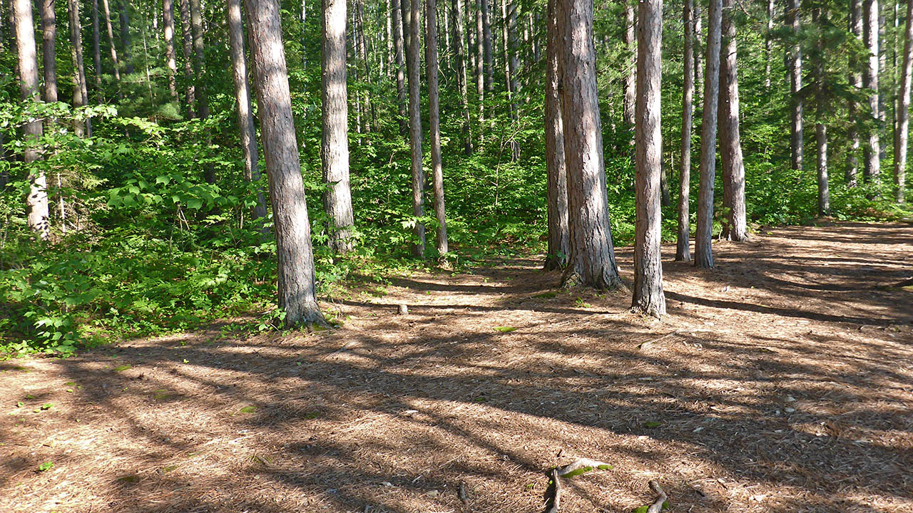
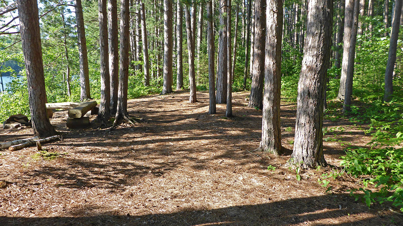
Size of open area: 15 x 8m.
Extent of tree cover: 70%.
Degree of levelness: Very level.
Number of level tent sites: 4+.
North exposure: Trees.
East exposure: Trees.
South exposure: Trees.
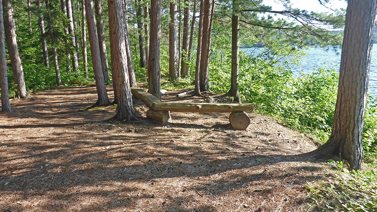
West exposure: View of lake.
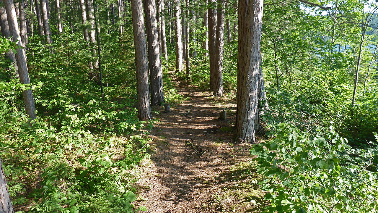
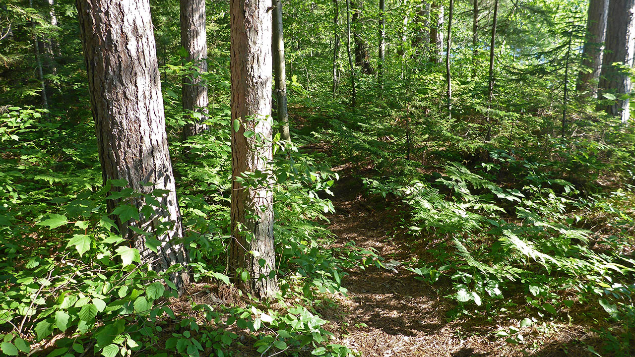
General description: Campsites CS #8, CS#9, and CS#10 are connected by a well worn path. Very flat and level site that is wider than it is deep, with a fairly unobstructed view of the lake. A nice firepit that is open to wind from the west, but otherwise a well protected site. Site can accommodate 4 tents easily. This is also an ideal campsite for those that use a hammock because of the numerous trees.
Overall accessibility: Other than a steep rise from the water to the site proper, no accessibility issues.
|
|
| Path from CS#9. | |
|
|
| Good view of sunset. | |
|
|
| View of site looking south. | |
|
|
| View of site looking north. | |
|
|
| Path to the thunderbox. | |

Thanks to Jeffrey McMurtrie of Jeff'sMap for supplying the base-layer map component by Creative Commons licensing.
Submitted by Chris Taylor .. Visited July, 2017 .. Submission February 16, 2019