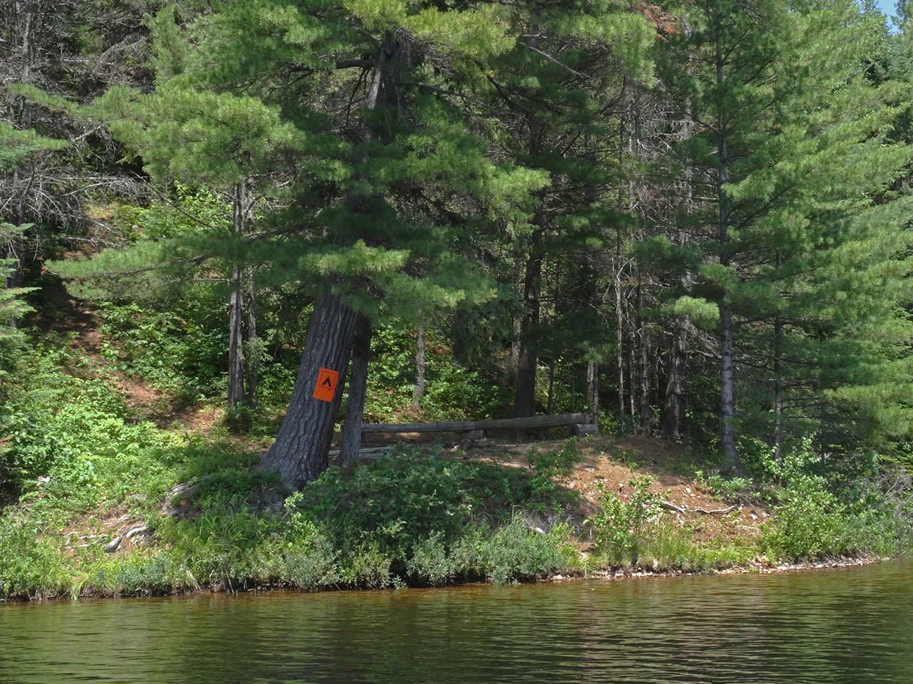
 Cauchon Lake Campsite #2
Landing
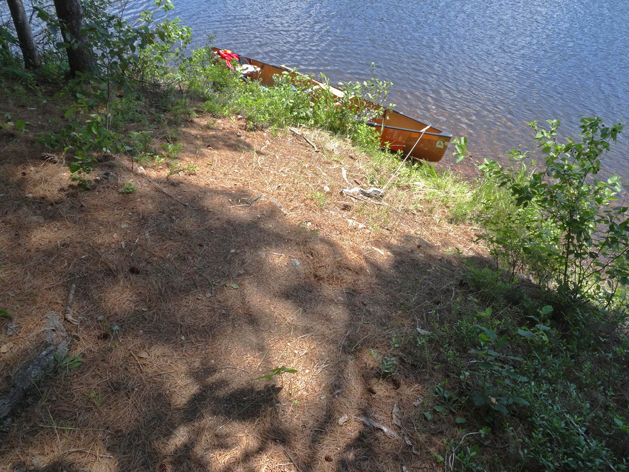
Topography of under-water approach: Slope underwater is a continuation of the steep hillside out of the water. The eroded shoreline provides a very narrow less-sloped strip to step out into for unloading.
Impediments to disembarking from and/or unloading a canoe: Slope requires careful footwork and handling of packs .
Topography to tent sites: Steep slope up tp campsite.
The hillside's slope is almost 45 degrees and continues down into the water ...
![]()
Campsite maintenance: regular.
Size of open area: 15 x 25''.
Extent of tree cover: 50%.
Degree of levelness: small level area is cut into hillside.
Number of level tent sites: One immediately behind the firepit area and a small rocky level area which could serve as an emergency second one.
North exposure: Protected from north wind by hillside and forest .
East exposure: Protected from some of the eastern wind.
South exposure: Open to the south wind.
West exposure: Protected from some of the western wind.
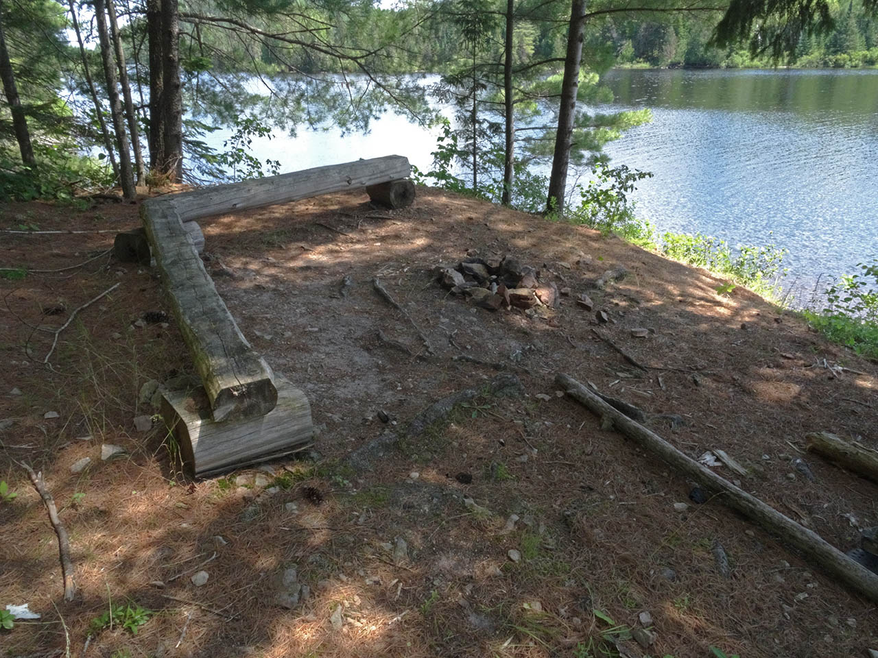
The firepit is on a small shelf constructed out of the hillside ...
![]()
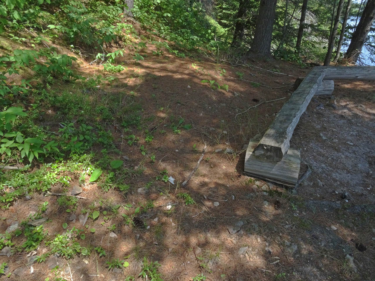
One small tentsite is located immediately behind the firepit benches...
![]()
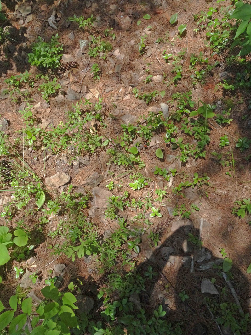
A small flat area, located by the thunderbox trail, is very rocky .. a possible emergency second tentsite ...
![]()
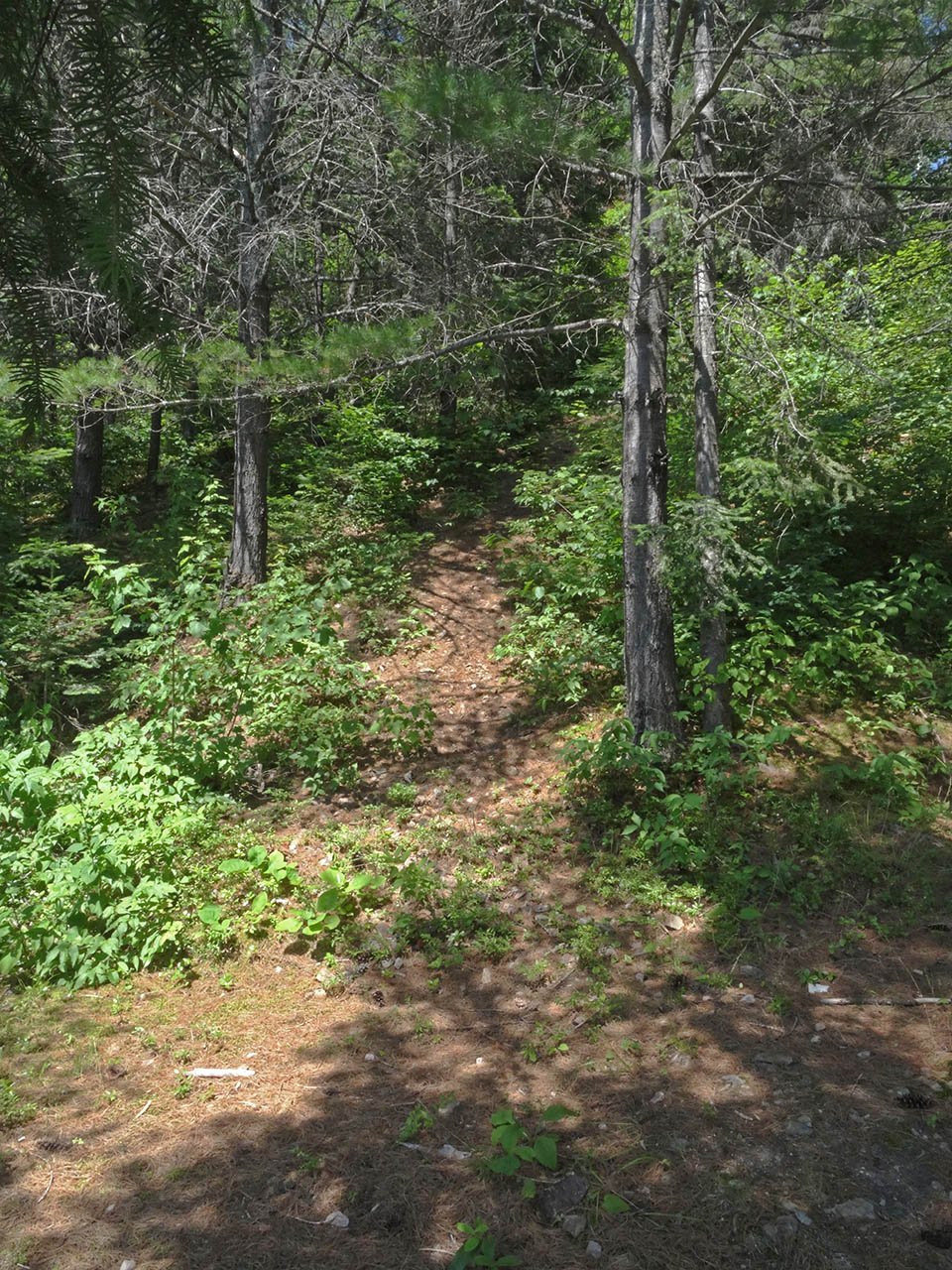
General description: This campsite has been cut out of the hillside's slope .. which prevails in the grade up to the tentsite and the trail up to the thunder-box.
Overall accessibility: Not very accessible at all. The landing and grade to-and-from the campsite are almost 45 degrees. The upper hillside has some loose fist-sized and smaller sharp-edged rocks which could make the climb to-and-from the thunderbox potentially hazardous.
The trail to the thunderbox becomes steep with some loose sharp rocks underfoot ...
![]()

Thanks to Jeffrey McMurtrie of Jeff'sMap for supplying the base-layer map component by Creative Commons licensing.
Submitted by Barry Bridgeford .. Visited July, 2015 .. Submission August 23, 2015
