 Portage 520 meters - Catfish L. To Luckless L.
Portage Location: from Catfish Lake to Luckless Lake
Length of portage: 520m (Portage sign says 410m) meters
Portage maintenance regular or low: Regular.
Elevation above Sea Level @ Catfish Lake ~ 386 meters
Elevation above Sea Level @ Luckless Lake ~ 394 meters
Difference in elevation: 8 meter drop between Luckless and Catfish
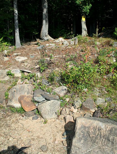
Portage Trail general description: The portage is rocky and rooty with some mud sections. Leaving Catfish, first half of the path is uphill and the second half is downhill. The portage peaks at 407m for a total difference in elevation of 21m.
Topographical impediments to traveling: Roots, rocks, mud (at times) and hill.
Areas susceptible to impact by periods of rain or beaver flooding: Yes
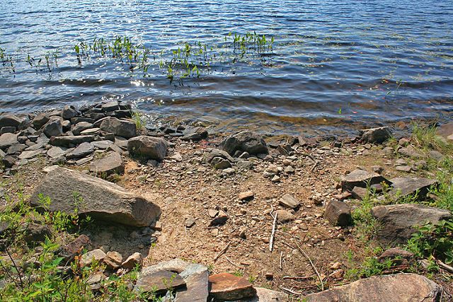
Landing at: Catfish (downstream)
Topography of under-water approach: Rocks
Impediments to disembarking from and/or unloading a canoe: Large rocks & steep step
Landing wide view ...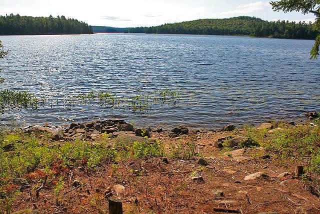
Landing detail ...
Steep rise from landing ...
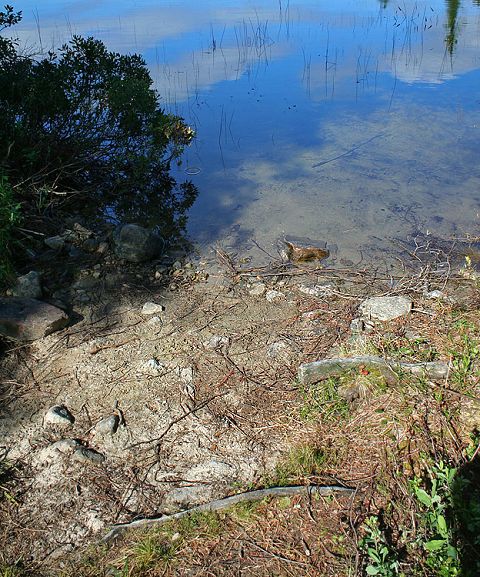
Landing at: Luckless (upstream)
Topography of under-water approach: Sand
Impediments to disembarking from and/or unloading a canoe: Hard packed dirt and a couple rocks
Landing wide view ...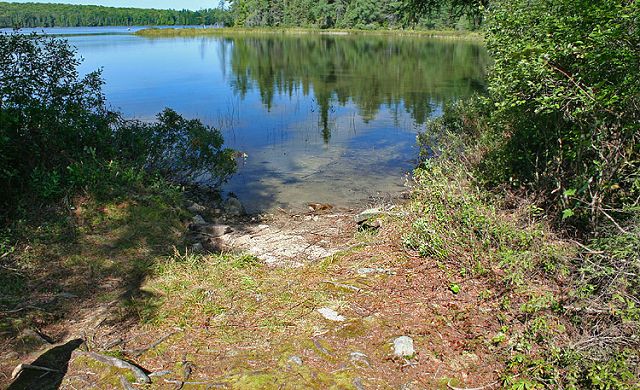
Landing detail ...

Thanks to Jeffrey McMurtrie of Jeff'sMap for supplying the base-layer map component by Creative Commons licensing.
Submitted by Sean Rowley, visited 2009, submitted Sept 12, 2009