 Catfish Lake Campsite #7
Campsite Location
GPS - UTM location: N45° 56.082' W78° 32.918'.
Landing
Topography of under-water approach: Small rock and gravel.
Impediments to disembarking from and/or unloading a canoe: None.
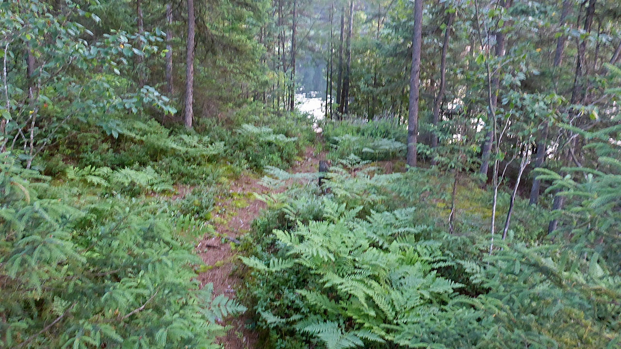
Topography leading to tent sites: A 10m path leads to the firepit.
 |
|
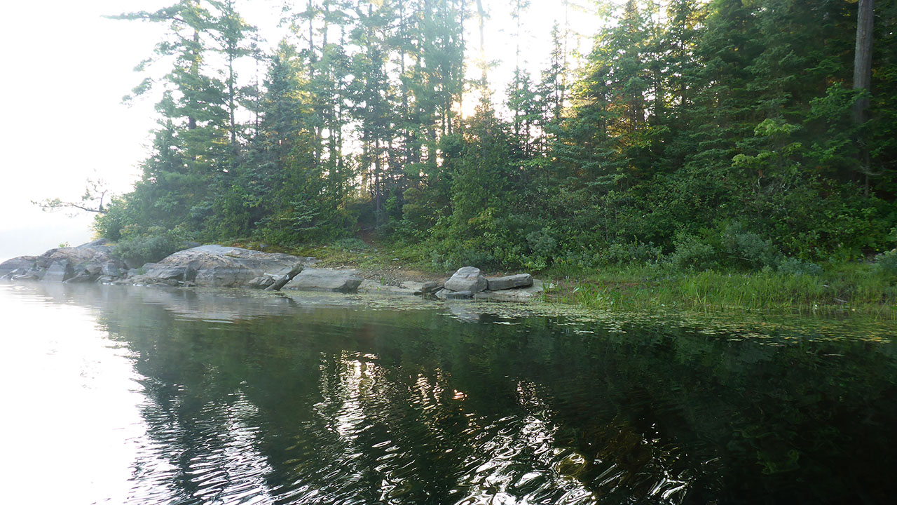
| Landing is to the right of the rocks. | |
 |
|
| View from firepit looking at path to landing area. | |
Campsite
Regular or low-maintenance: Regular
Size of open ground area: 10m x 7m.
Extent of tree cover: 50%.
Degree of levelness: Site is fairly level but drops off quickly at perimeter.
Number of tent sites: 2.
North exposure: Tree obstructed view of lake.
East exposure: Tree obstructed view of lake.
South exposure: Open view of bay.
West exposure: Trees.
General description: A very open site with little useable tree cover. Open to wind except from the east. Enough room for 2, possibly 3 tents. Ground slopes significantly away from the site proper at its perimeter
Overall accessibility: There is a smooth 10m path that elevates 3m to the site. The 40m path to the thunderbox has some elevation changes.
 |
|
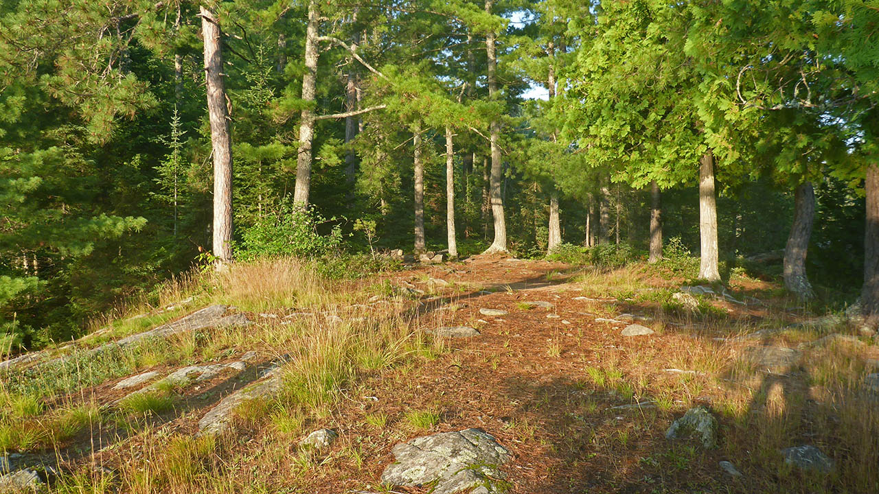
| Looking east, the path to thunderbox, and the path to the landing area can be seen on the far side of the firepit. | |
 |
|
| View from east side of site. | |
 |
|
| Campsite diagram. | |
 |
|
Submitted by: Chris Taylor .. Visited 2015 .. Submission March 12, 2016