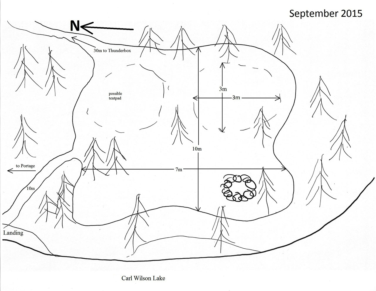
 Carl Wilson Lake Campsite #1
Landing
Topography of under-water approach: Gravel beach.
Impediments to disembarking from and/or unloading a canoe: None.
Topography to tent sites: 10m carry on a path with a rise of 2m.
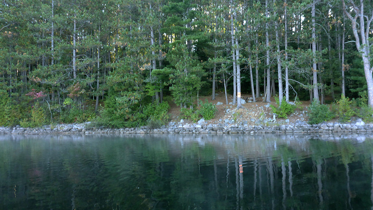
Landing area is just visble at far left of picture ...
![]()
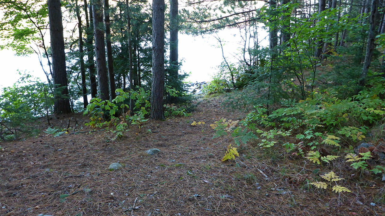
Path leading up from landing area ...
![]()
Campsite
Campsite maintenance: Regular.
Size of open area: 10m x 7m.
Extent of tree cover: 60%, open in center of site.
Degree of levelness: Significant slope from back to front.
Number of level tent sites: 1.
North exposure: Trees/glimpse of lake.
East exposure: Trees.
South exposure: Trees.
West exposure: Lake.
General description: A good sized site, but because of the slope and uneveness of the ground, there are few choices for setting up a tent. From the landing area, there is a 50m path that leads to the portage to Ironwood Lake. Gear could be transported to the portage, however moving a canoe would be tricky because of the density of the trees.
Overall accessibility: The landing area is not immediately visible. But it is a much better choice than unloading at the very front of the site.
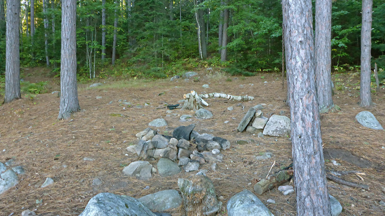
Firepit seen from front of site ...
![]()
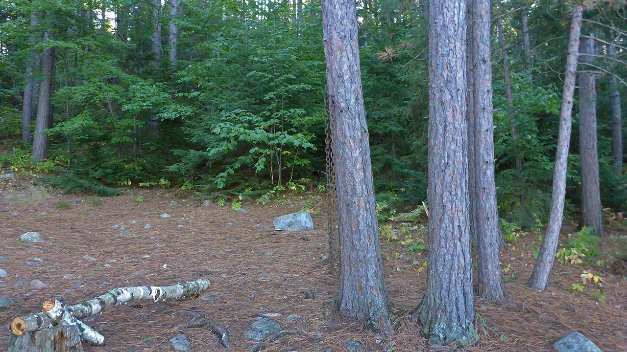
Tentpad at back of firepit ...
![]()
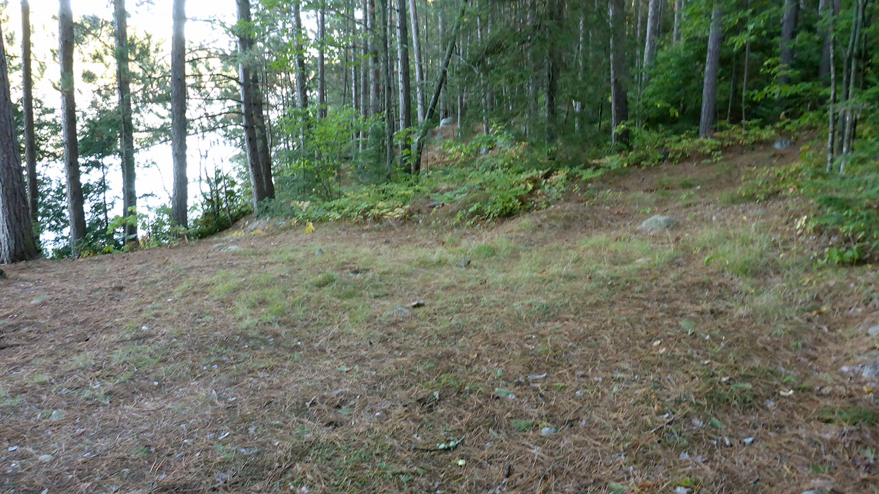
Looking from the back of the firepit at another possible tenting site ...
![]()

Thanks to Jeffrey McMurtrie of Jeff'sMap for supplying the base-layer map component by Creative Commons licensing.
Submitted by Chris Taylor .. Visited September, 2015 .. Submission April 9th, 2016
