 Burntroot Lake Campsite #6
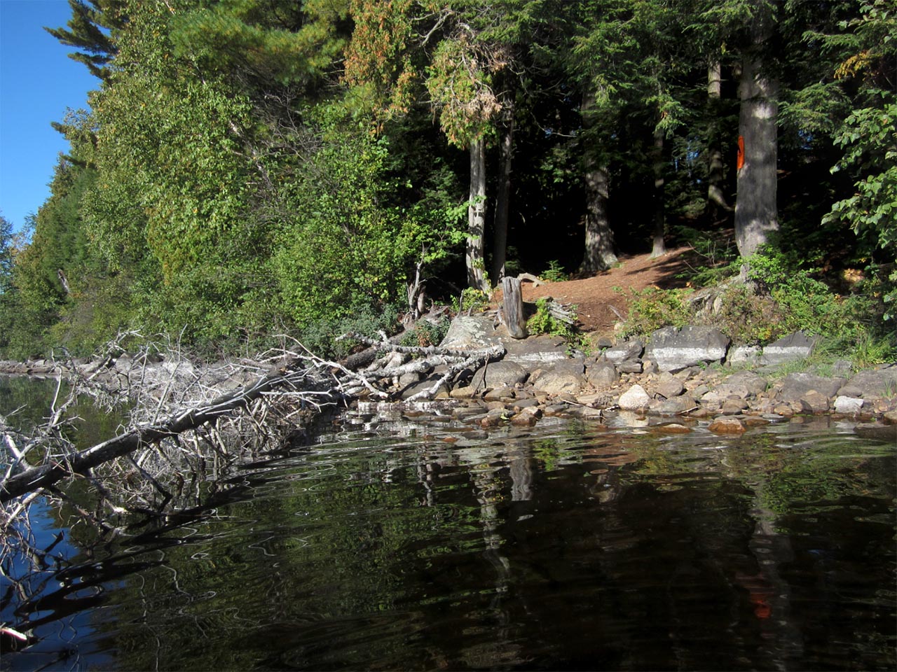
Landing
Topography of under-water approach: Rocky, cobbled bottom with gradual shallowing.
Impediments to disembarking from and/or unloading a canoe: Some awkward footing but mostly sound.
Topography leading to tent sites: 10 to 15 meter climb from landing up to top of island where campsite is.
Location of the point to disembark ...
![]()
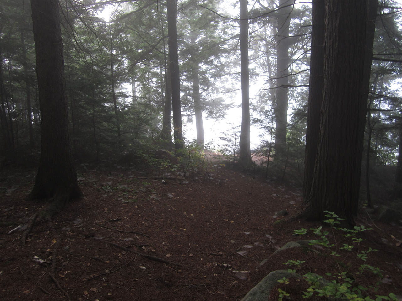
View from the top of the island down the hillside back down to the landing ...
![]()
Campsite
Regular or low-maintenance: regular
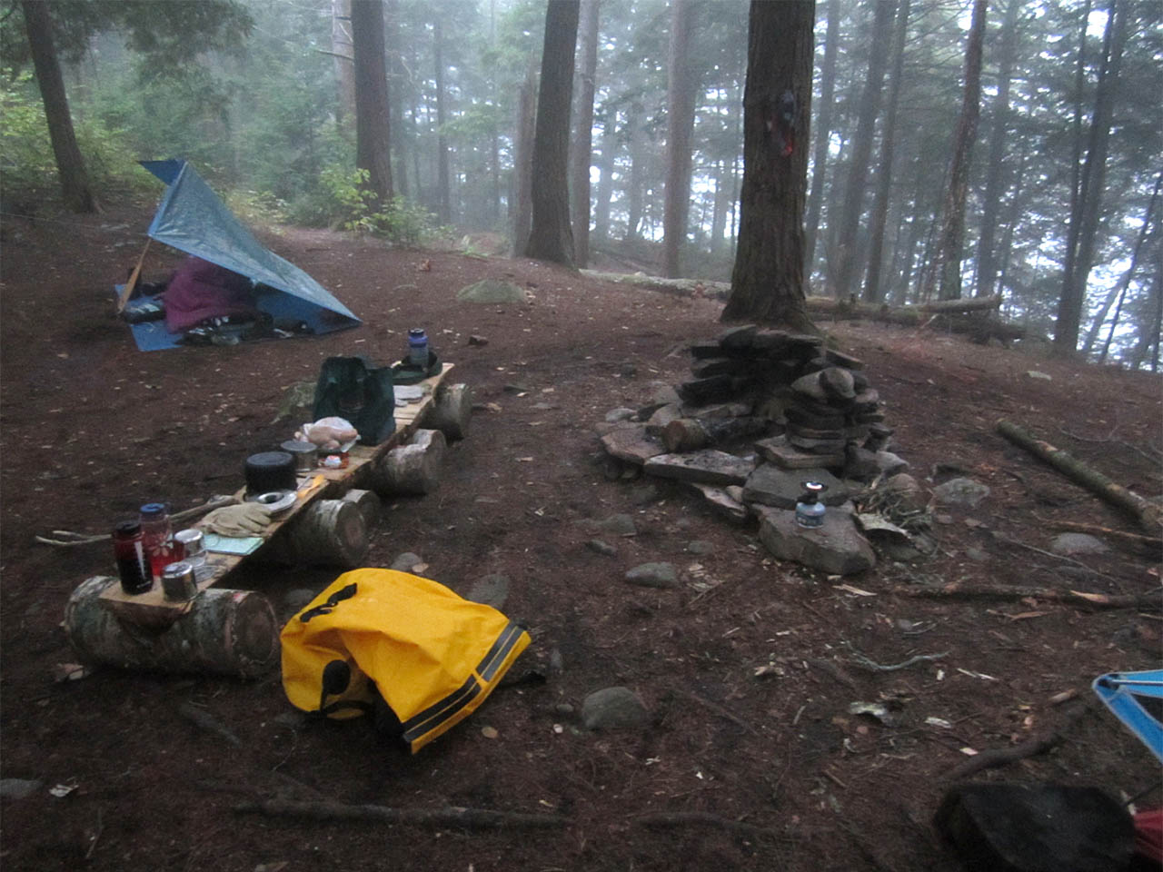
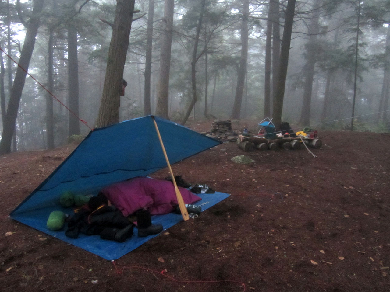
Size of open area: Substantial open area, approximately 10 meters by 30 meters./p>
Extent of tree cover: Nearly complete - 90% with only dappled sunlight getting through
Degree of levelness: Crowned, but with a relatively broad (5 meter) level area on top of the island.
Number of tent sites: At least two large ones - many smaller possibilities.
North exposure: Very limited - heavily forested to the north.
East exposure: Some exposure. While forested, it is an elevated area that can still have some exposure although it would be lessened somewhat.
South exposure: Very limited and heavily forested to the south.
West exposure: Some exposure. While forested, it is an elevated area that can still catch the wind from the west.
Southwest over the firepit and beyond ...
![]()
View north from the southern end of the open area, of the open layout of the tenting area and firepit ...
![]()
View south, with the fire pit immediately behind you, the thunderbox is another 15 meters through the woods ...
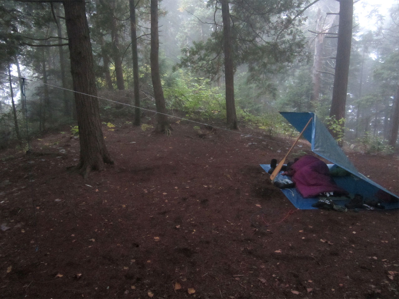
![]()
Looking northeast from firepit, a second view of the northern half of the site ...
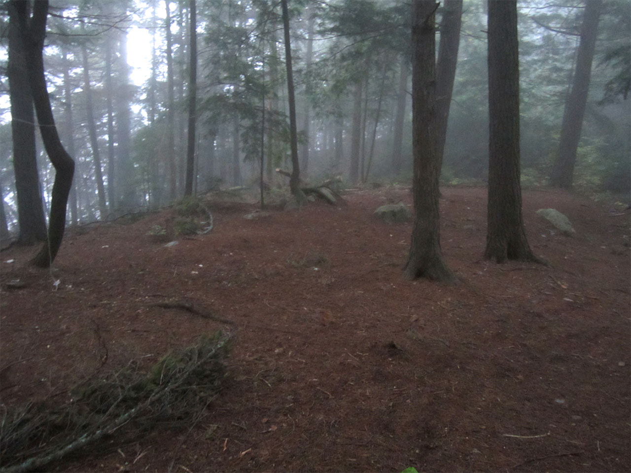
![]()
A pleasant and somewhat obstructed view from the thunderbox, of the lake and mature white pines ...
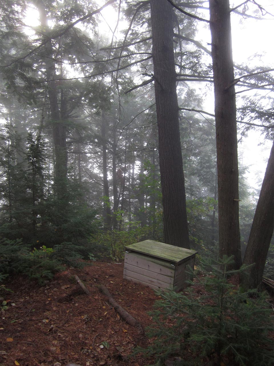
![]()
General description: While this island is smack dab in the middle of the lake, this site offers a rather private setting with little visibility of the water from the fire pit and tentsite area. The landing is somewhat rugged and small, so that more than one canoe would pose a minor delay. There is ample room to store a beached canoe on the shoreline. The climb is short and steep up to a large, wooded but generally level and open area. Views from the top of the island are hindered by the forested hillside but a walk down either side allows access to pleasant areas to sit and relax by the water's edge. The path to the thunderbox is to the south and is an adequate distance from the tenting area and from the other campsite on the island to offer privacy.
Overall accessibility: Average to good. Does not offer the majestic views of this beautiful lake but is a nice, roomy and secluded spot.
View of the morning sun from the campsite's landing or "porch" ...
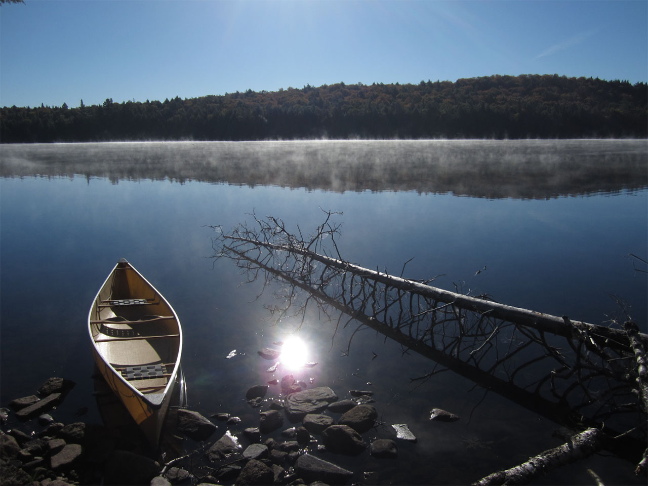
![]()
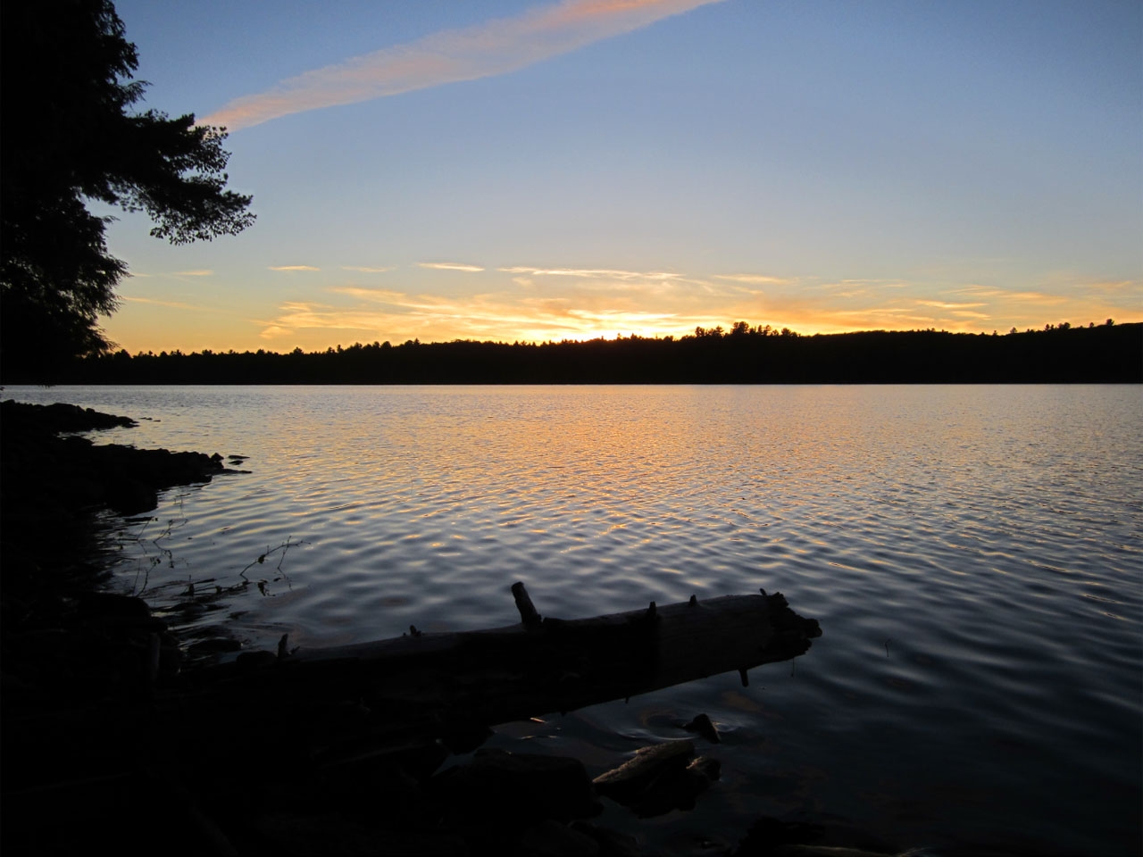
Sunset from the western "porch" of the campsite ...
![]()
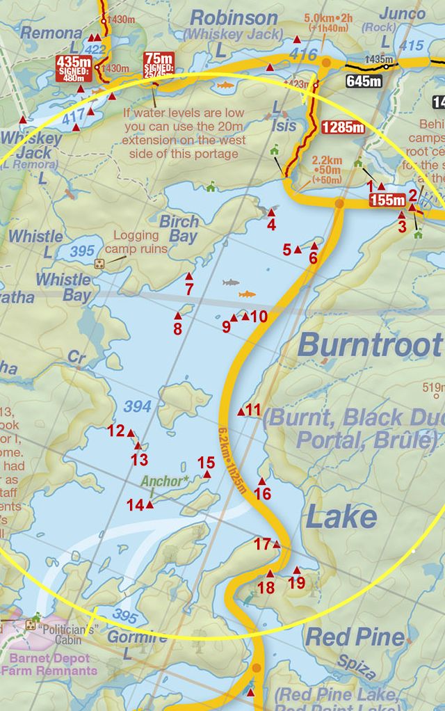
Thanks to Jeffrey McMurtrie of Jeff'sMap for supplying the base-layer map component by Creative Commons licensing.
Submitted by Joe Zaleski, October 21, 2013 .. visited October 2013.