 Burntroot Lake Campsite #2
Campsite Location
GPS - UTM location (optional): N45° 53.199' W78° 39.406'
Landing
Topography of under-water approach: Small rock and gravel (portage to Perley Lake).
Impediments to disembarking from and/or unloading a canoe: None.
Topography leading to tent sites: Smooth short path at beginning of portage.
 |
|
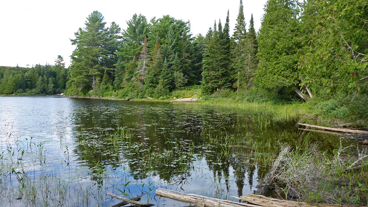
| - View from the back of CS3, of the landing for portage to Perley Lake. Campsite is just to left of landing. |
|
Campsite
Regular or low-maintenance: Regular
Size of open ground area: 20m x 7m.
Extent of tree cover: 10%.
Degree of levelness: Level.
Number of tent sites: 3 or more tents.
North exposure: View of lake.
East exposure: Trees.
South exposure: Trees.
West exposure: Trees and view of lake.
 |
|
| - Path from portage leads to possible tenting area and firepit. | |
 |
|
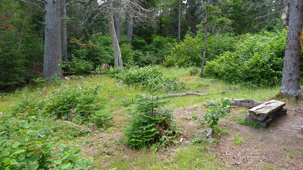
| - Looking east from firepit at path to thunderbox. | |
 |
|
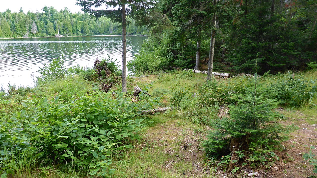
| - Looking north toward a possible tentpad. | |
 |
|
| - View from firepit of possible tentpad and path to thunderbox. | |
General description: Sizeable, open site, but overgrown. 3 areas that could be used for tents are not very well defined because of the plant growth.
Overall accessibility: No accessiblity issues. Site is accessed by a smooth path that is located approx. 10m along portage to Perley Lake.
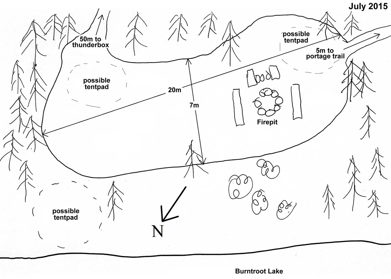
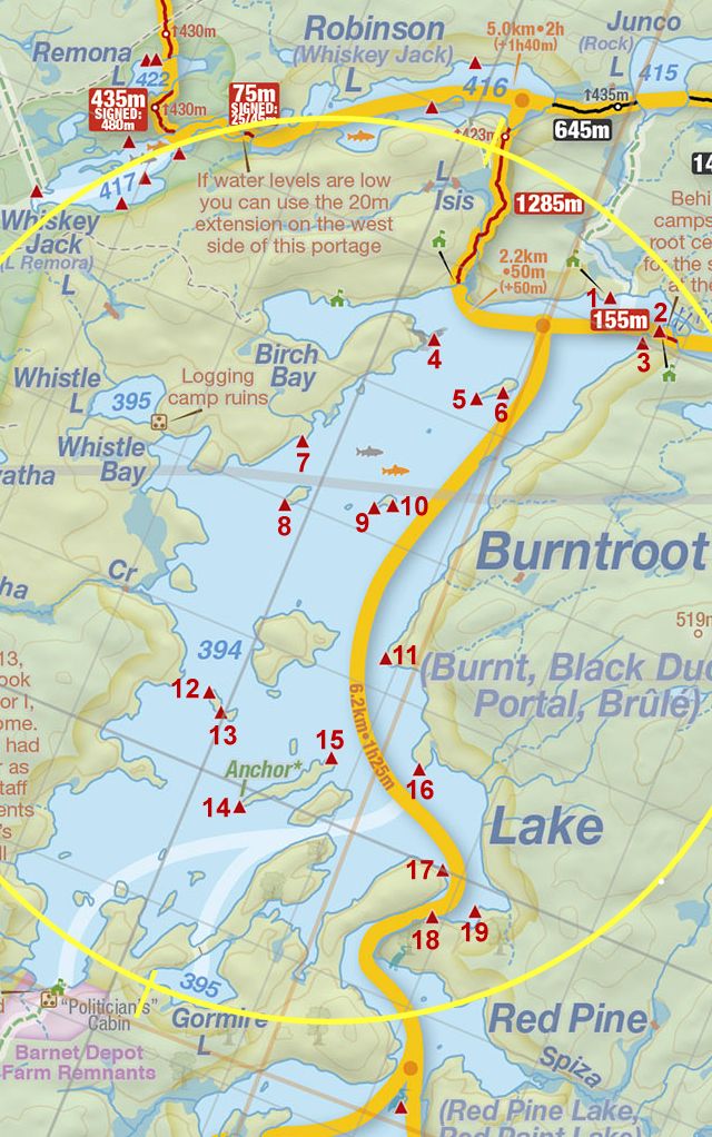
Thanks to Jeffrey McMurtrie of Jeff'sMap for supplying the base-layer map component by Creative Commons licensing.
Submitted by: Chris Taylor .. Visited July 2015 .. Submission November 28th, 2015