 Booth Lake Campsite #12
Landing
Topography of under-water approach: Some weeds & growth, but a small cleared landing from the east side.
Impediments to disembarking from and/or unloading a canoe: Some growth cramps the landing preventing multiple canoes from unloading at the same time.
Topography to tent sites: Slight rooted rise up to the primary area that houses a firepit facing north with a lovely (but weedy) view of Booth lake. Off from this primary area to the south-west up about 25 vertical meters will take you past the thunderbox and bring you to the secondary area that can more comfortably support a couple of tents with the level ground up on that perch. Here there is also a modest firepit with a basic bushcraft table for support.
Growth on approach, room for one canoe to comfortably dock and load ...
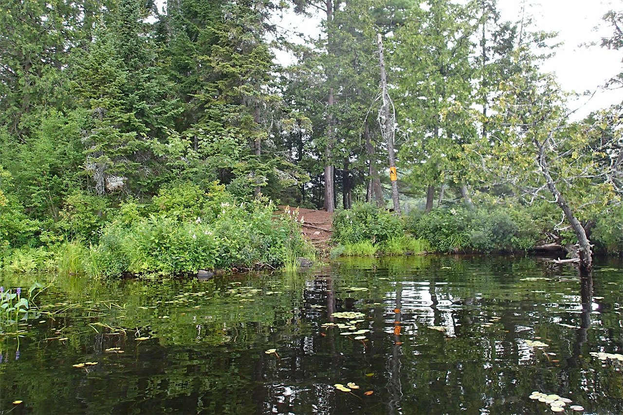
![]()
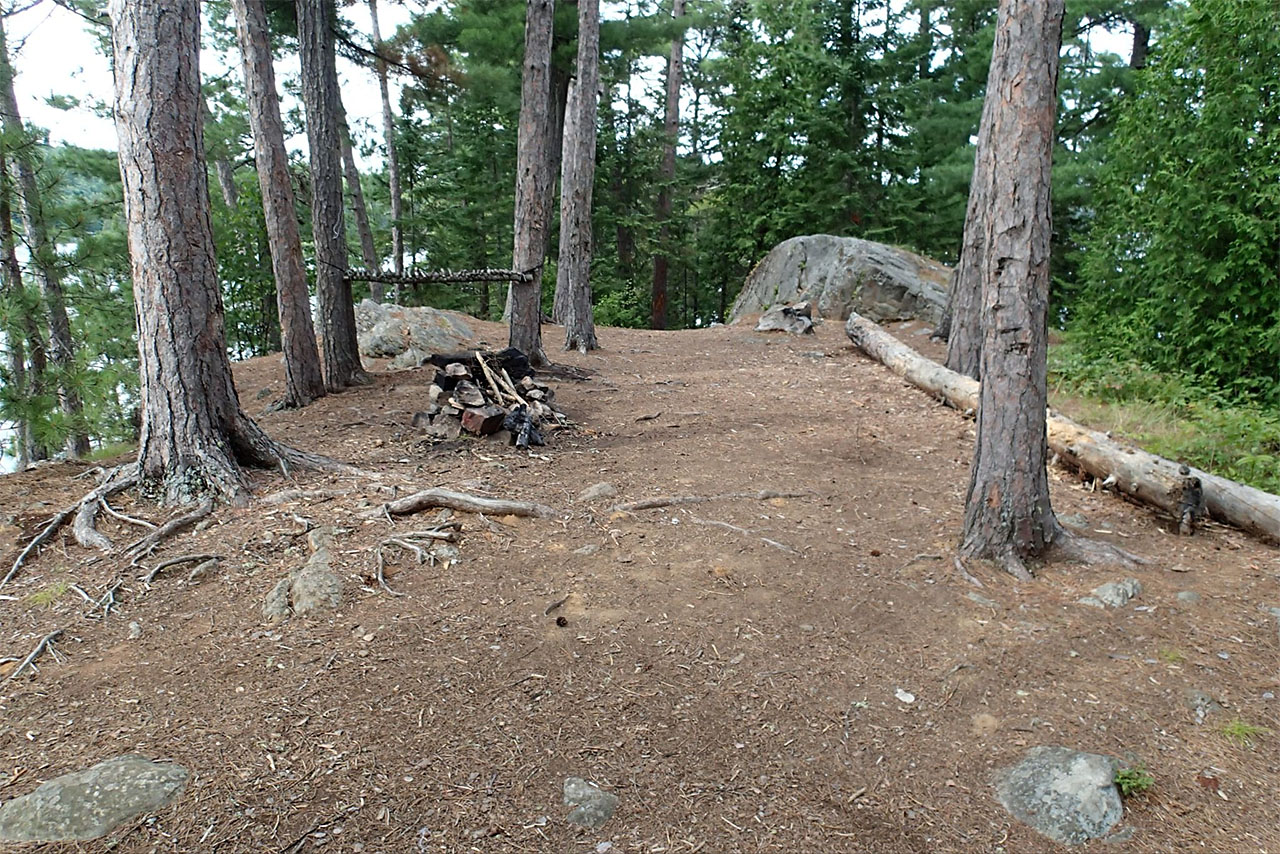
View into the primary area giving an idea of the uneven grade and a glimpse of the firepit with benches ...
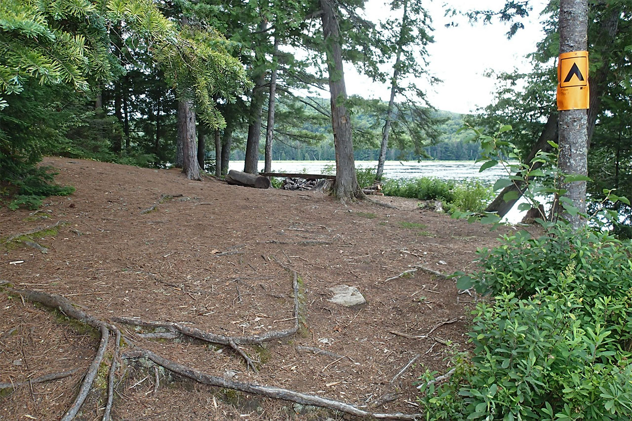
![]()
Looking behind the primary area at the path off to the right up the hill towards the thunderbox & secondary perch ...
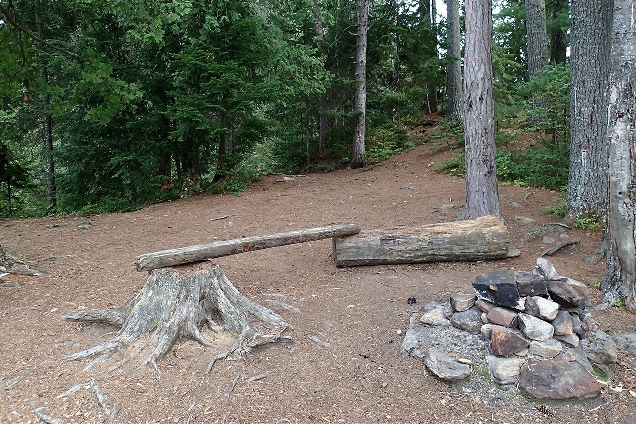
![]()
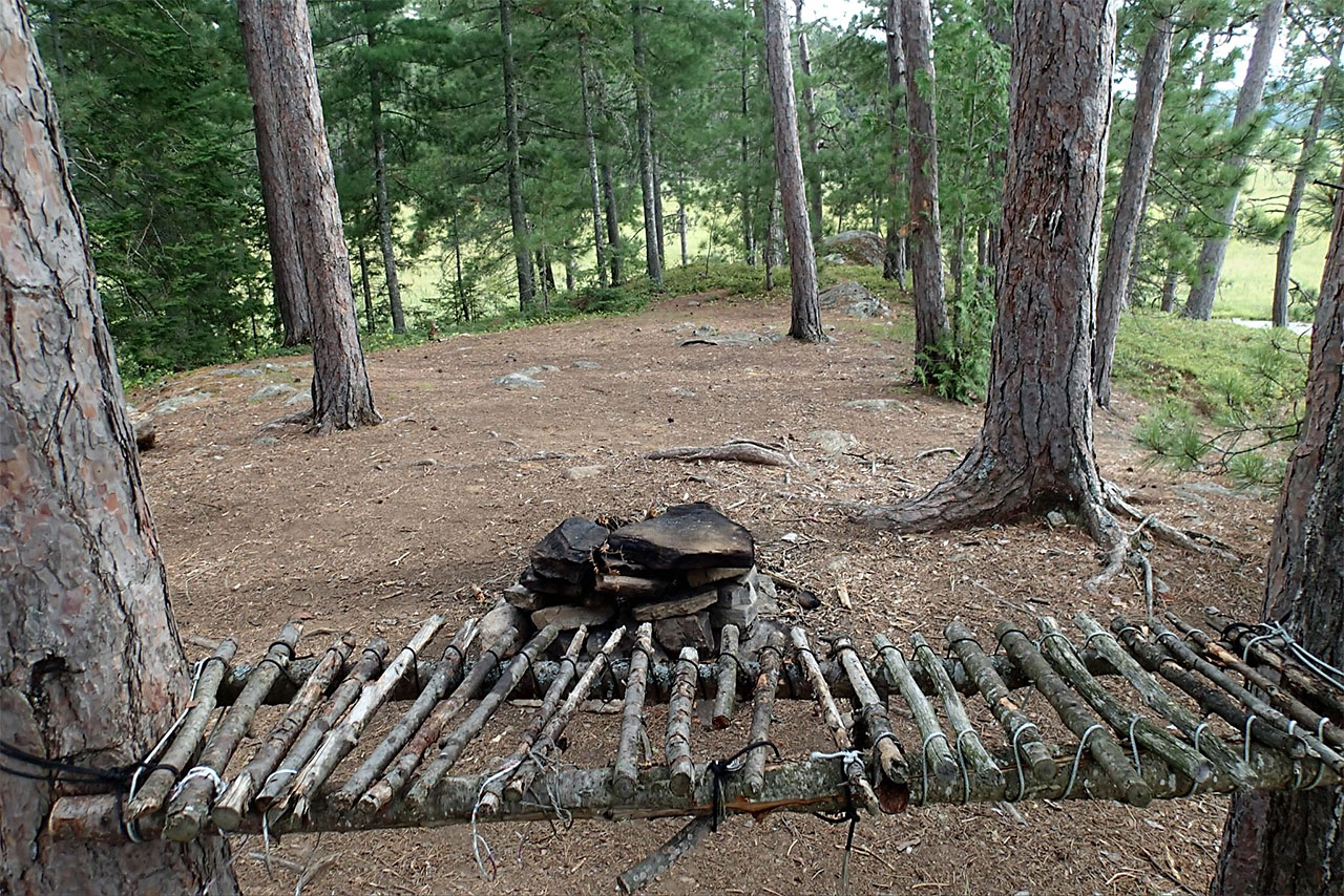
Capturing the 25m vertical path south-west past the thunderbox to get to the second area perch ...
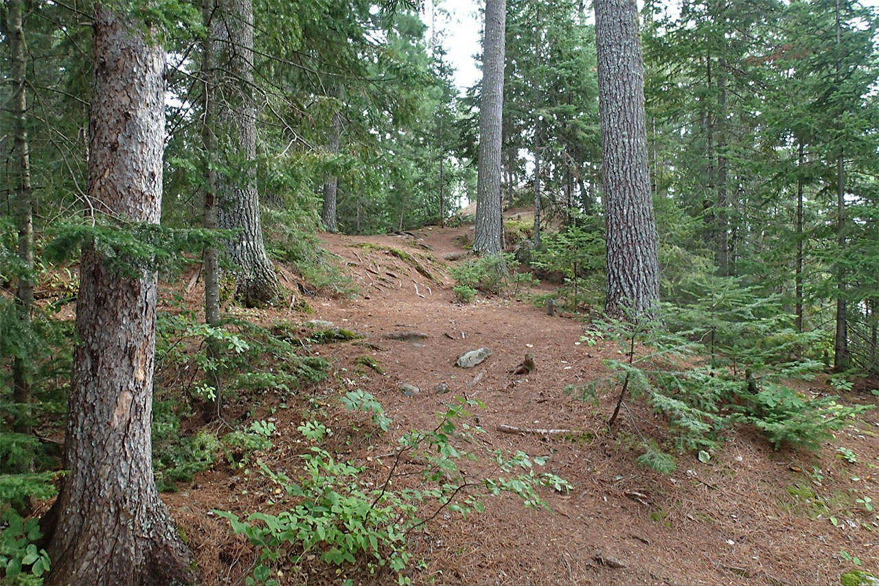
![]()
Looking east back to the path revealing the second, more level, gathering area ...
![]()
Looking south-west again to showcase the available level tent space up at this perch. Sadly no photo of the view from up here ...
![]()
Campsite
Campsite maintenance: regular
Size of open area: Primary is open unlevel, medium. Secondary is open level, medium.
Extent of tree cover: Primary area is moderately covered with open northern exposure. The secondary elevated area is less sheltered with mostly only tree trunks to impede any wind.
Degree of levelness: Primary in unlevel. Secondary is level.
Number of level tent sites: Two.
North exposure: Lake.
East exposure: Lake.
South exposure: Trees.
West exposure: Lake bay of weeds and reeds.
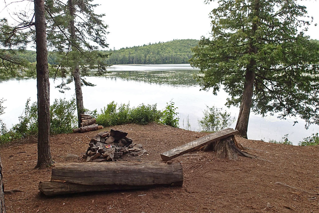
Looking over this primary area’s lounge with the northern view of Booth Lake ...
![]()
General description: An unusual multi-level camp site. The lower primary area is not level to support comfortable tenting, and the upper secondary area is level but very exposed.
Overall accessibility: Landing is okay, and there are roots over a slight slope towards the primary firepit area, but it’s a hike up to the secondary level area. This site’s recommendation would be heavily weather dependent.
Thanks to Jeffrey McMurtrie of Jeff'sMap for supplying the base-layer map component by Creative Commons licensing.
Submission June 2026 by Matthew Guenette .. visited August 2023