 Biggar Lake Campsite #8
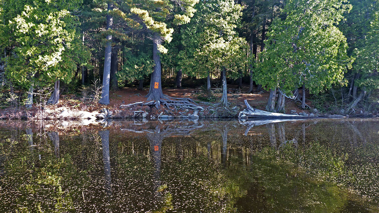
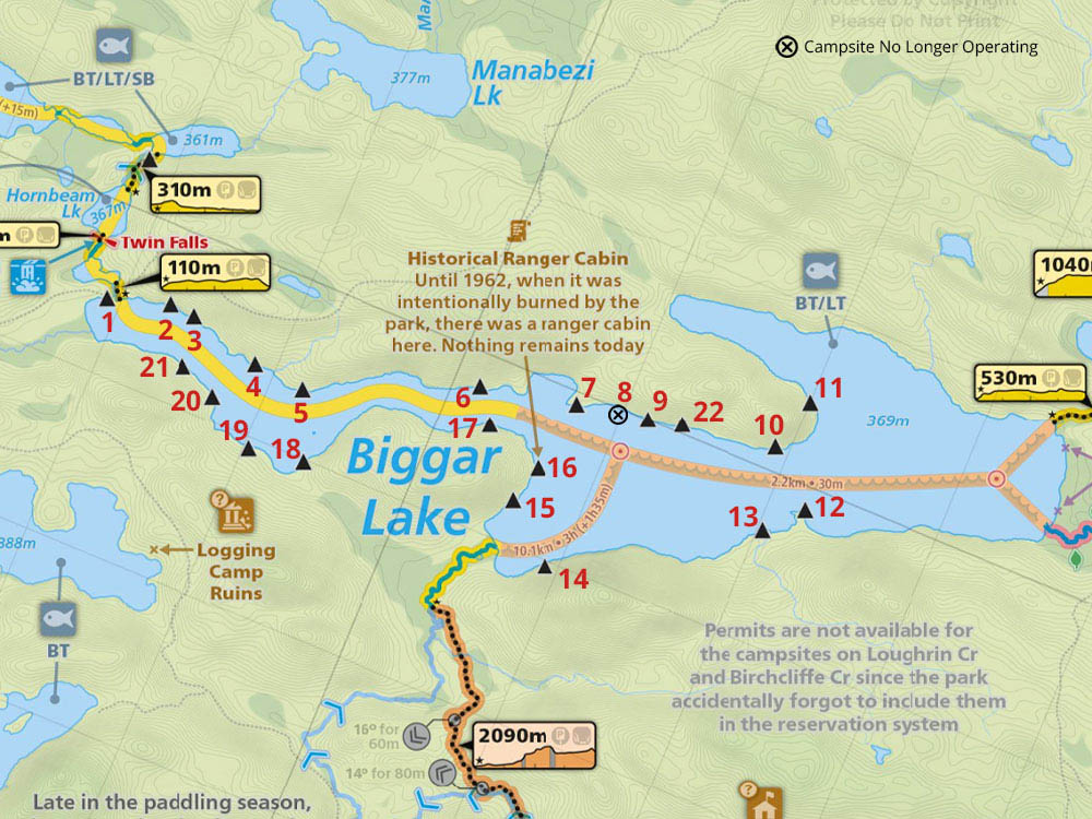
Campsite Location
GPS - UTM location: N45° 56.694' W78° 55.327'
North shore, 4th site from east end of lake.
Landing
Topography of under-water approach: Small rock and gravel.
Impediments to disembarking from and/or unloading a canoe: Gear is unloaded onto an area of large roots, then carried a couple of meters to the site.
Topography leading to tent sites: A short carry up a slight rise over large roots.
 |
|
| - Landing can only be done at the campsite sign. | |
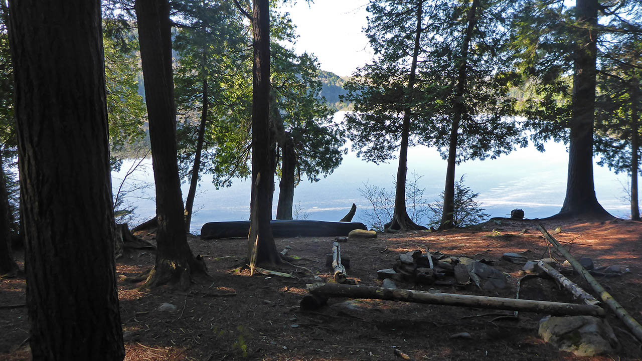
Campsite
Regular or low-maintenance: Regular
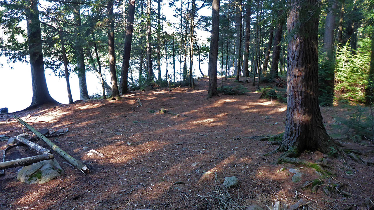
Size of open ground area: 15 x 7 meters.
Extent of tree cover: 80%.
Degree of levelness: Slopes toward the lake.
Number of tent sites: 4 to 5.
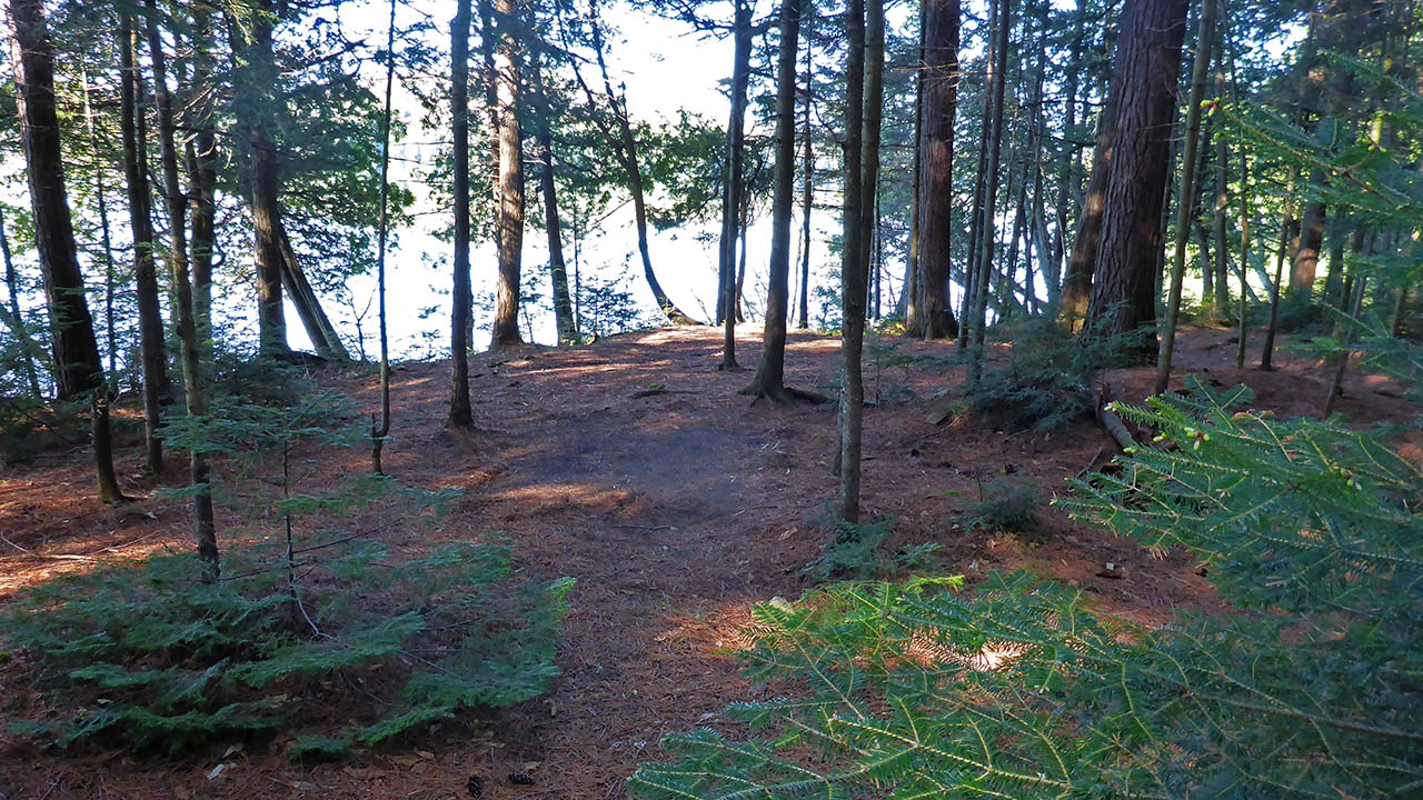
North exposure: Trees.
East exposure: Trees.
South exposure: Lake.
West exposure: Trees.
General description: Significant tree cover, but still an open and uncluttered site. 3 distinct tent pads, but there are many setup options for 4 -5 tents. Good drainage because of the slope of the site.
Overall accessibility: The tree roots at the loading area can cause issues with access to the site. The site itself is relatively smooth with very few obstacles present.
 |
|
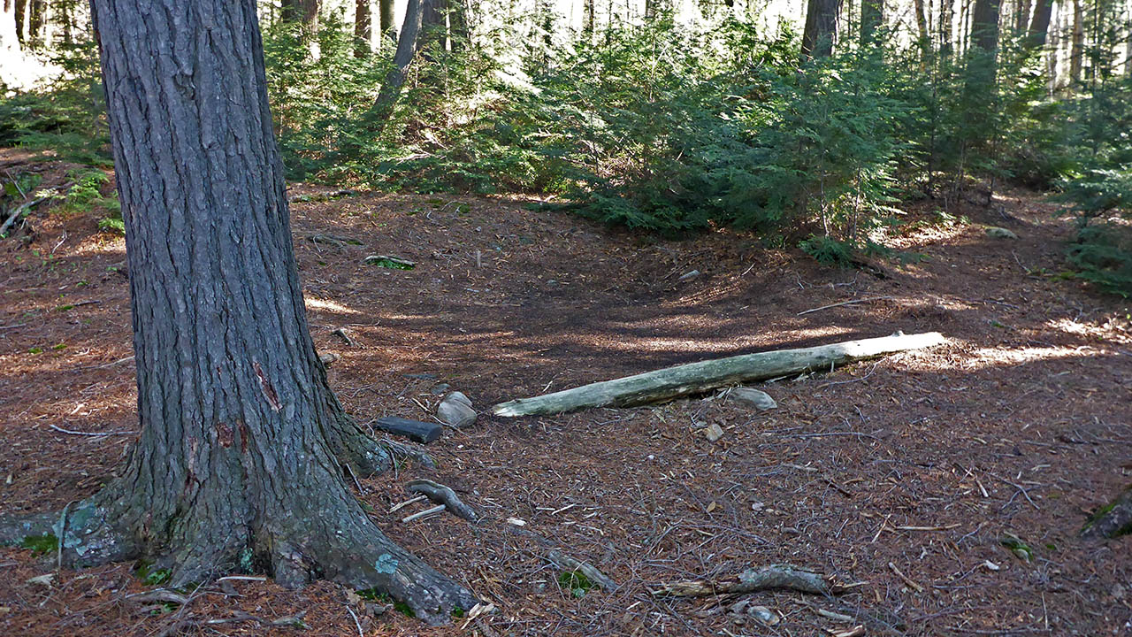
| - Small tentpad in northeast corner and view of path to thunderbox. | |
 |
|
| - Large tentpad and pad behind as seen from northeast corner. | |
 |
|
| - A smaller tentpad (not shown on sketch) slightly west of the site proper. | |
 |
|
| - Firepit and canoe storage area. | |
 |
|
| - Campsite Diagram . | |
Thanks to Jeffrey McMurtrie of Maps By Jeff for supplying the base map.
Submitted by: Chris Taylor .. Visited May, 2015 .. Submission October 18th, 2015