 Big Porcupine Lake to Bonnechere Lake Portage
Length of portage: 200m
Portage maintenance regular or low: Regular.
Elevation above Sea Level @ Big Porcupine Lake is 477 meters.
Elevation above Sea Level @ Bonnechere Lake is 476 meters.
Difference in elevation: 1 meters.
Elevation of highest point: 481 meters. Overall rise/fall: 5 meters.
Landing at Big Porcupine Lake
Topography of under-water approach: Sandy beach, interspersed with a few small rocks.
Impediments to disembarking from and/or unloading a canoe: No impediments.
Topography of the ascending grade: Eroded sandy 6' rise to the trail, with some exposed rocks and roots.
Impediments to moving gear to portage trail: Not much room for organizing gear and canoes. Take care to not block access for others
 |
|
| - Approach to the landing. | |
 |
|
| - Side view of the landing. | |
 |
|
| - Rise to the actual trail. | |
Portage Trail
General description: The portage is quite pleasant. Potential for some slippery sections close to Big Porcupine.
Topographical impediments to travelling: There's a 30' pronounced steep descent to the Bonnechere landing, across bare rock which could be tricky in wet conditions.
Areas susceptible to impact by periods of rain or beaver flooding: None.
 |
|
| - Eroded section of the portage. | |
 |
|
| - Better section of the portage. | |
Landing at Bonnechere Lake
Topography of under-water approach: Smooth shallow sand beach with some mucky areas.
Impediments to disembarking from and/or unloading a canoe: There's a small sandy beach area at the landing. At high water, the first ledge of rock above the beach might become the disembarking area.
Topography of the ascending grade: 30' pronounced steep ascent up exposed rock to the actual portage.
Impediments to moving gear to portage trail: Just the steep rise. The first ledge of rock could serve as a holding area, to keep gear out of the way of others.
 |
|
| - Looking down toward the landing. | |
 |
|
| - The landing seen from the water. | |
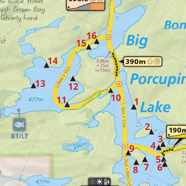
Thanks to Jeffrey McMurtrie of Maps By Jeff for supplying the base map.
Submitted by Barry Bridgeford, visited July 2011, submitted April 2012