 Big Porcupine Lake Campsite #3
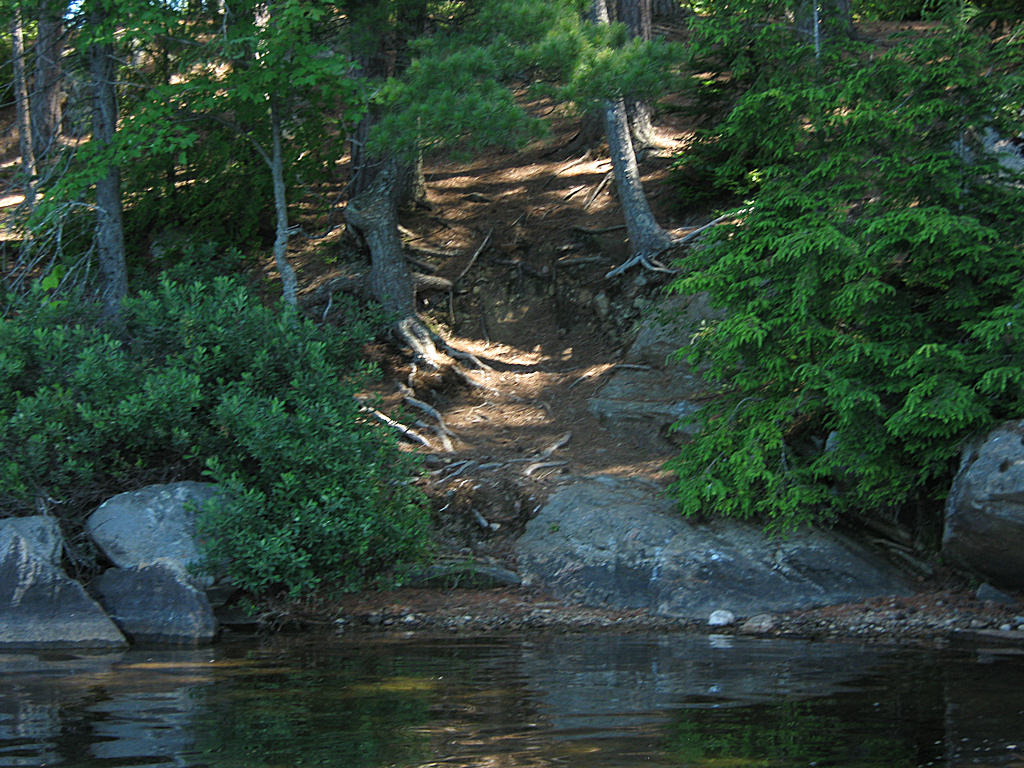
Landing
Topography of under-water approach: Shallow gravel beach.
Impediments to disembarking from and/or unloading a canoe: None for disembarking. Unloading requires special effort to secure packs from rolling down the grade.
Topography to tent sites: 40' climb (at around 45 degrees) to the firepit and tentsite area.
 |
|
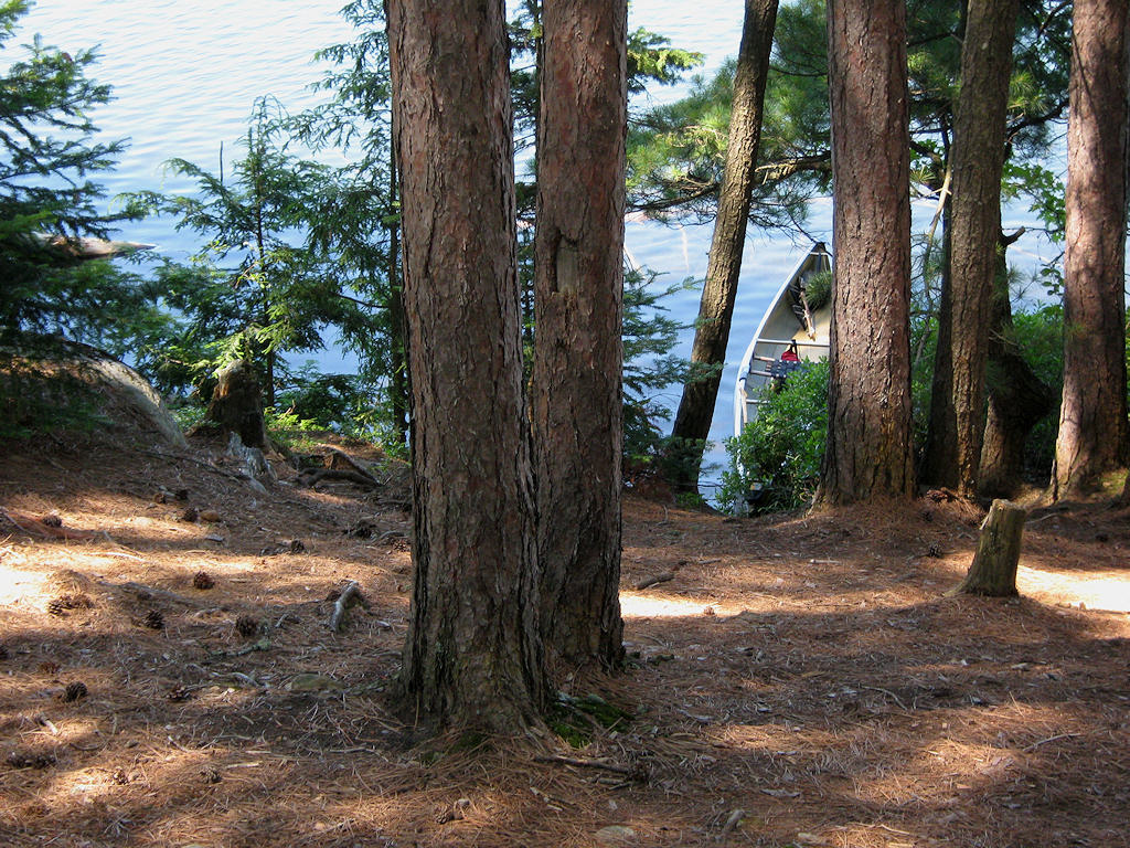
| - A 45 degree climb up from the water's edge. | |
 |
|
| - Looking down to the canoe from part way up the ascent. | |
Campsite
Campsite maintenance: regular
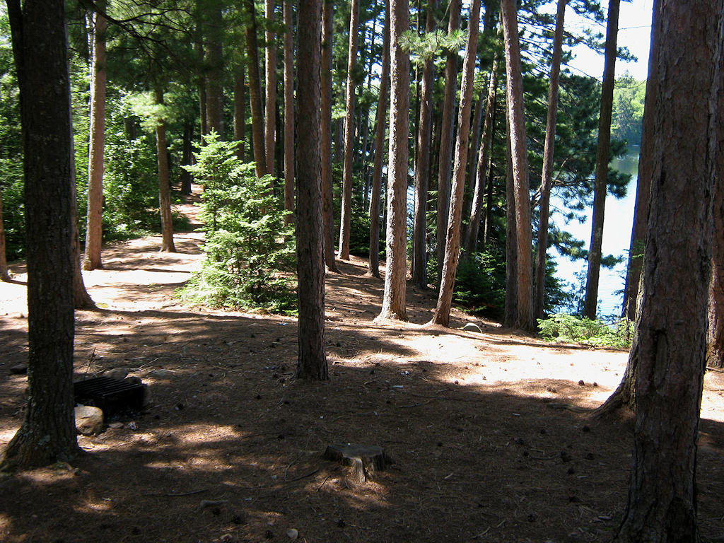
Size of open area: Lack of ground-cover under the red-pines leaves a very large area "open".
Extent of tree cover: Tall red-pine cover the entire campsite area. Light comes in under canopy from the inland low brush area.
Degree of levelness: The campsite has a narrow flat area that runs parallel to the shore.
Number of level tent sites: A number of tents can be "strung-out" in a line along the flat area.
North exposure: While the campsite is elevated above lake-level, the trunks of red-pine block some of the north wind.
East exposure: Brush and forest block the east wind.
South exposure: The red-pines are denser to the south, blocking both the sun and south wind.
West exposure: Unfortunately, the red-pines blockout most of the view of the lake and of sunsets.
 |
|
| - Tentsites are tight under the trees . | |
General description: Without a useful waterfront feature, there's no place to sun, relax or swim from. Being totally "canopied" by the red-pine, there's no lake view. Being on the brink of the long slope to the water, it's no place to bring children. Also, the ground-level effect of a trail toward the campsite to the south could impact on privacy.
Overall accessibility: Requires considerable climbing up from the landing.
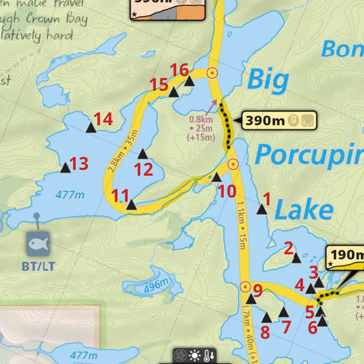
Thanks to Jeffrey McMurtrie of Maps By Jeff for supplying the base map.
Submission April, 2012 by Barry Bridgeford .. visited July, 2011