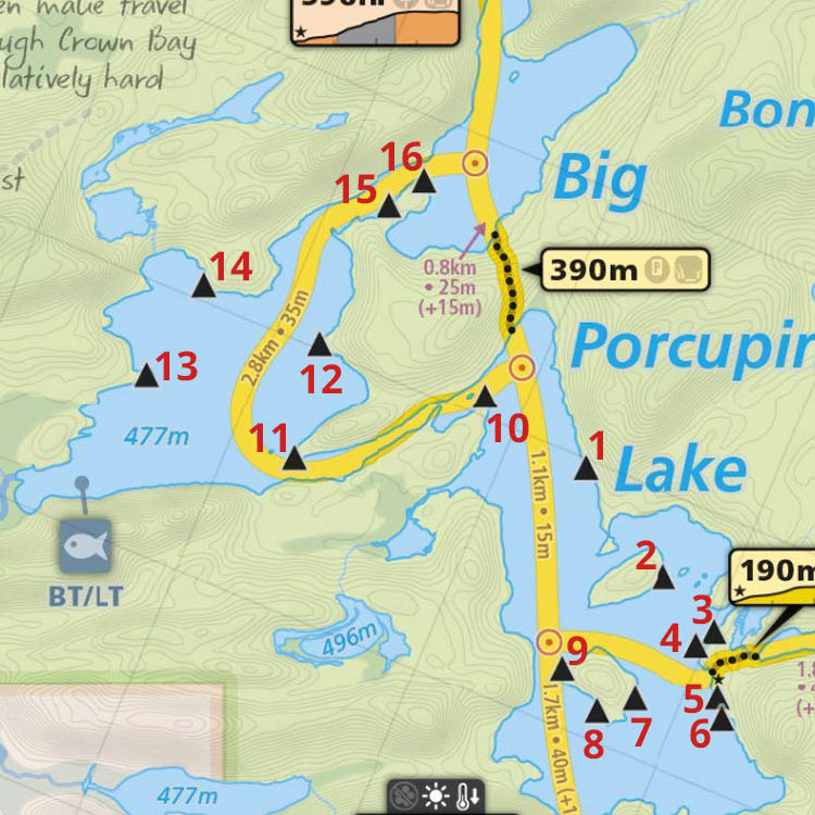
 Big Porcupine Lake Campsite #11
Landing
Topography of under-water approach: On the east side of point, the approach's sloped rock will present itself differently in varied water levels.
Impediments to disembarking from and/or unloading a canoe: While the landing landing rock is long, its slope could be a problem. The east end of the rock has an indent which can facilitate a step-into-the-water unloading area.
Topography to tent sites: A sloped rock rise takes one up to the root-zone which completes the approximate 12 foot moderate rise to the firepit and tentsite areas.
 |
|
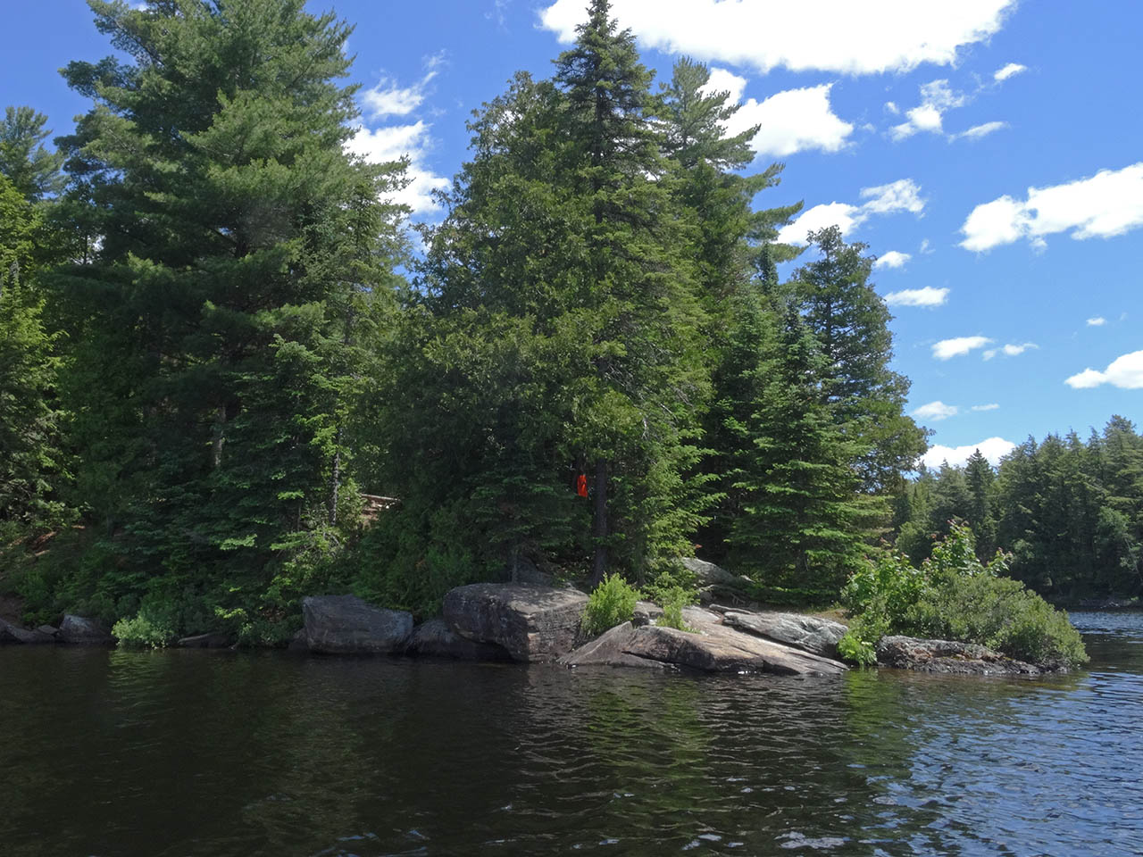
| - Rock point, with the landing located behind on the east side. | |
 |
|
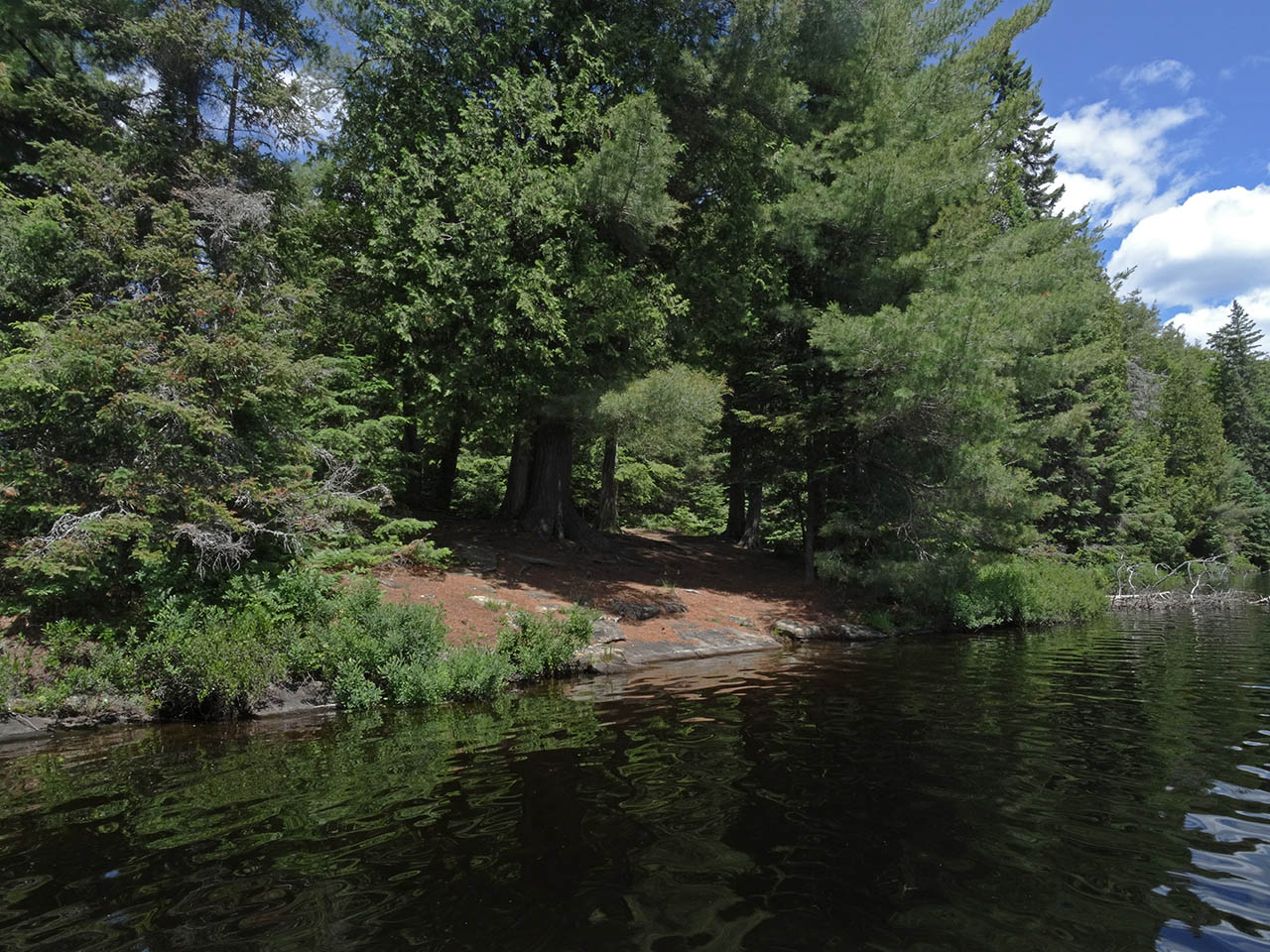
| - Far end of the sloped rock is the better part of the landing. | |
 |
|
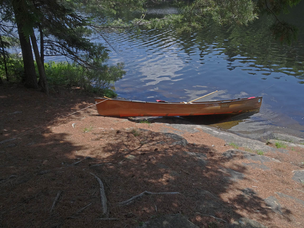
| - Contour of the landing's slope. | |
 |
|
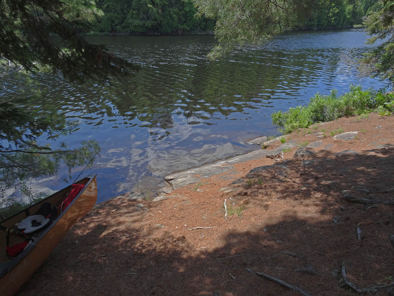
| - Different angle, with some underwater detail. | |
Campsite
Campsite maintenance: regular
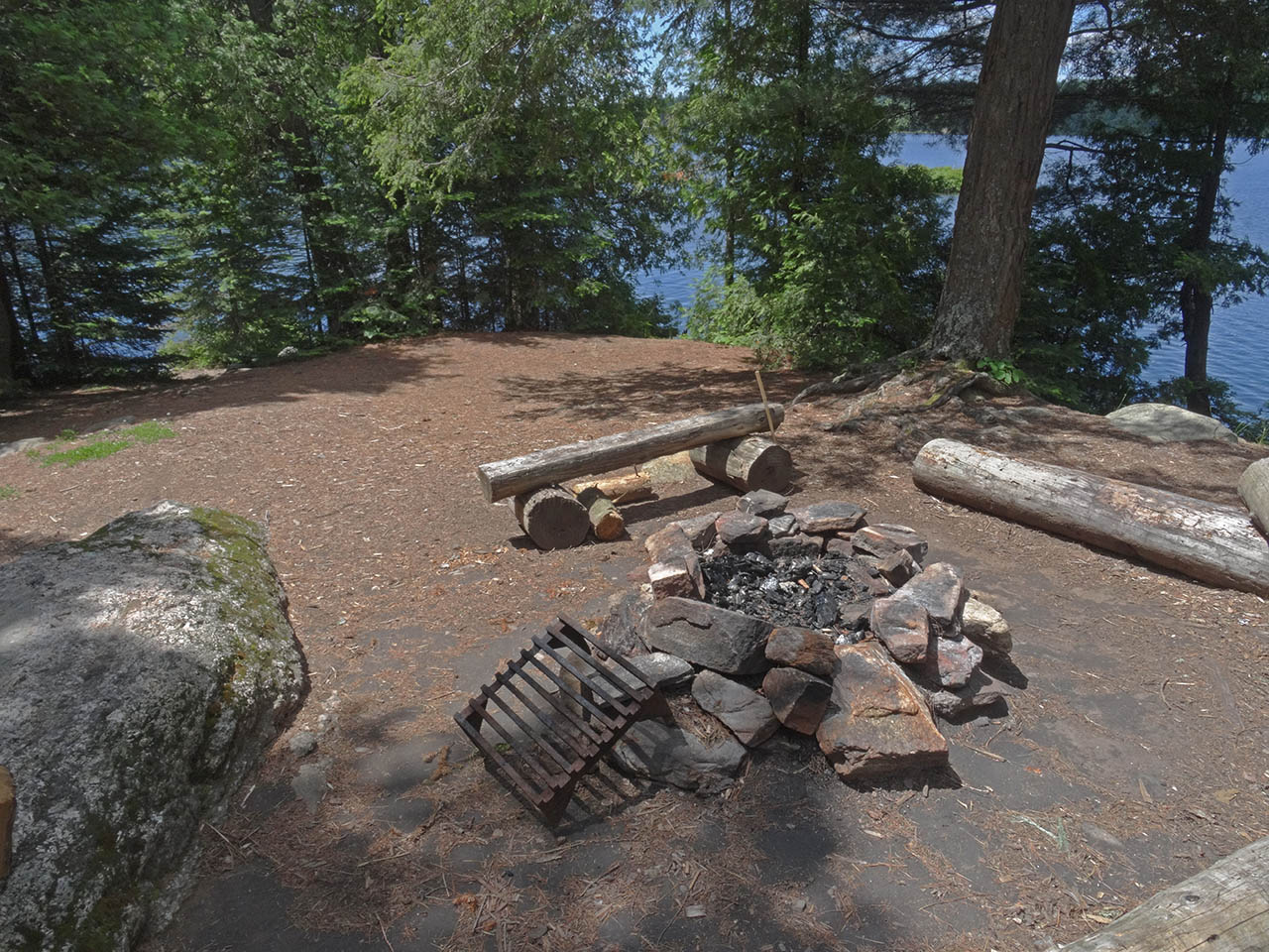
Size of open area: 20' x 20'.
Extent of tree cover: Firepit area is open to the sky.
Degree of levelness: The firepit and tentsite areas are generally level, with a couple of bedrock protrusions.
Number of level tent sites: One tentsite is located close to the firepit area, with a couple more to the rear off to one side.
North exposure: Protected from north winds by the forest.
East exposure: Protected from east winds by the forest.
South exposure: Some protection from south winds by shoreline trees.
West exposure: Partially potected from west winds by a few intervening trees.
 |
|
| - Firepit area is high above the water, with one tentsite close by. | |
 |
|
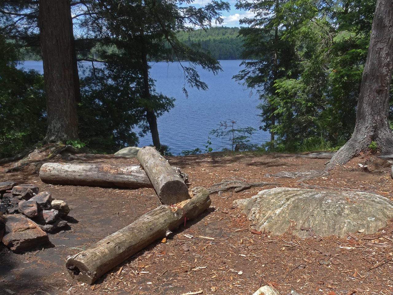
| - A gap in the trees provides a partial view to the west. | |
 |
|
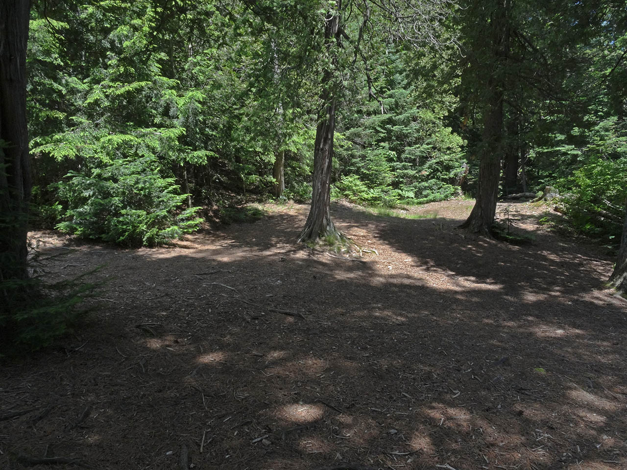
| - Behind the firepit is sufficient level area for two more tents. | |
 |
|
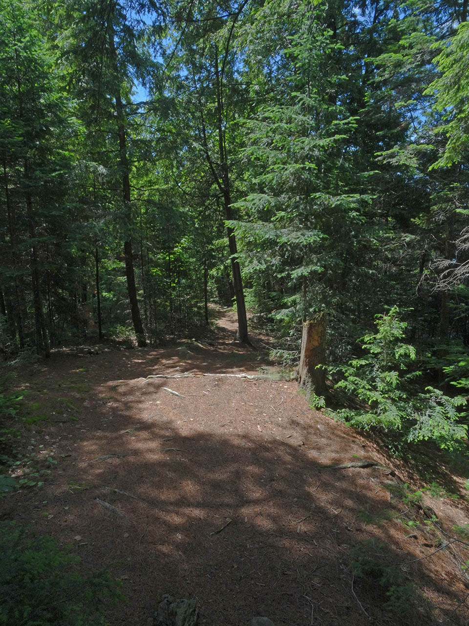
| - Access to the thunderbox is by a long uphill trail. | |
General description: An OK campsite for three tents. However, there is a particularly long, uphill walk to the thunderbox.
Overall accessibility: Sloped rock landing, rise to actual campsite and long uphill walk to thunderbox could be issues.
Thanks to Jeffrey McMurtrie of Maps By Jeff for supplying the base map.
Submission July 2015 by Barry Bridgeford .. visited June, 2015