 Big Crow Lake Campsite #3 Lat.-Long.: N45 49 48.9 W78 25 11.36
Landing
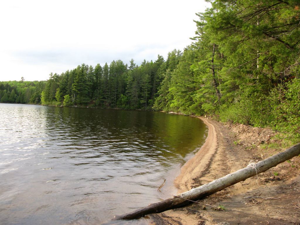
Topography of under-water approach: South-West facing landing, large sandy beach extending another 8' up on shore (Spring water conditions). No obstructions to landing.
Impediments to disembarking from and/or unloading a canoe: None whatsoever.
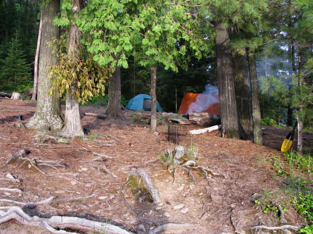
Topography to tent sites: Medium taper uphill along grassy/earthy and rooted bank to campsite and firepit area. Campsite is roughly 20' higher than waterlevel.
 |
|
| - South east down the beach landing. Entrance to the Crow River is mid-photo. | |
 |
|
| - West view of the sandy beach from canoe landing. | |
 |
|
| - View from the beach looking north towards the campsite. | |
 |
|
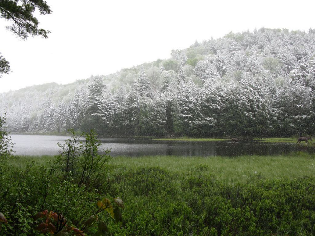
| - Behind campsite looking at the Crow river (north-east). | |
Campsite
Campsite maintenance: regular
Size of open area: 120' x 150'.
Extent of tree cover: 35% canopied over tent/kitchen area.
Degree of levelness: Campsite had a consistent 30 degree taper back down towards the beach - even the tent site was slightly angled.
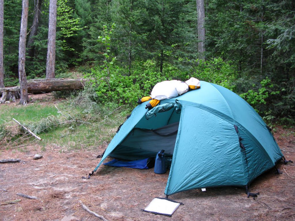
Number of level tent sites: At least 2 slightly angled sites adequate for 3-4 man sized tents. No flat spots.
North exposure: Protected from the north winds due to proximity to forest and hills butted up against campsite.
East exposure: Protected from the east winds due to proximity to forest and hills butted up against campsite.
South exposure: Southern exposure from canoe landing only, southern point that juts out below campsite helps block the more direct strong southerlies.
West exposure: Full western exposure to these winds on landing and tenting/firepit area - you'll be at the winds mercy. Insufficient cover to limit wind exposure on the western-facing slope.
 |
|
| - View of the inclined and westerly-exposed tentsite. | |
 |
|
| - Firepit and four 'rough' log benches. | |
General description: Poor campsite due to the slope and exposure concerns from west winds (SW/NW/W), horizontally challenged site with poor firepit and seating/table arrangements. Good swimming/lounging beach during Summer and nice views of the Crow River, Firetower and western shore. A number of grills were present. Great sunset views. Thunder box located north east of campsite higher up on the ridge. No issues with firewood.
Overall accessibility: Fair.

Thanks to Jeffrey McMurtrie of Maps By Jeff for supplying the base map.
Submission November, 2009 by Stephen Molson .. visited May, 2009