 White Trout Lake Campsite #9
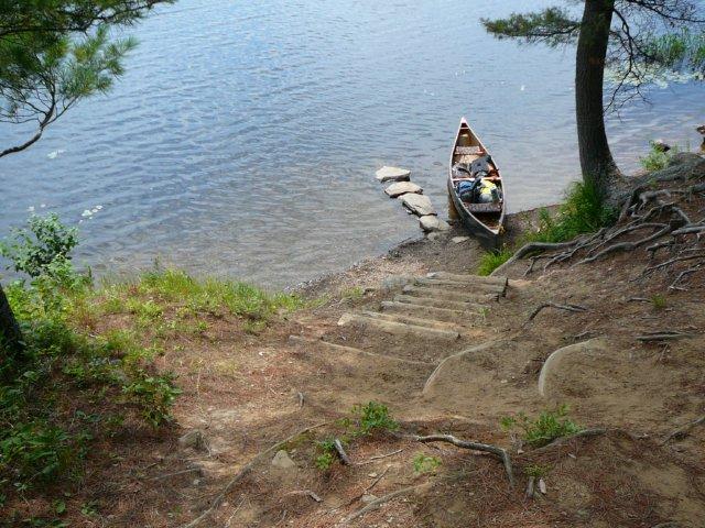
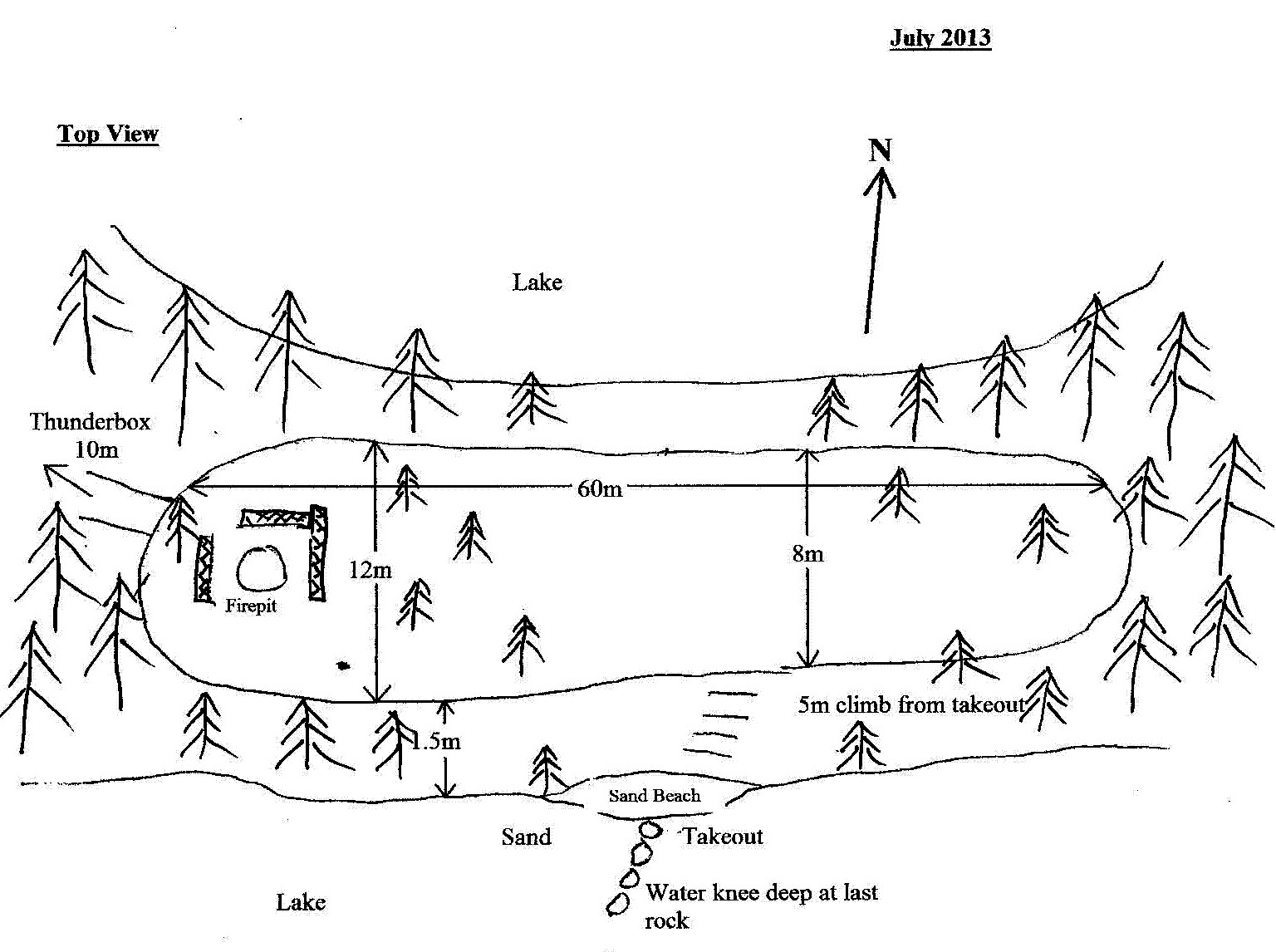
Landing
Topography of under-water approach: Gravel, small rocks.
Impediments to disembarking from and/or unloading a canoe: None. One can step out of canoe onto rocks that have been placed to act as a dock, or step in less than knee deep water.
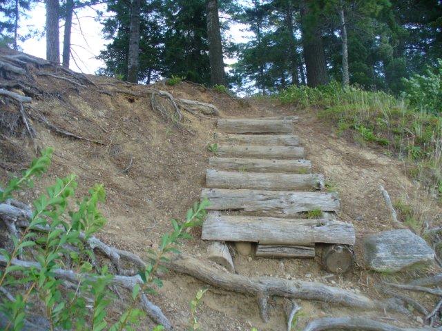
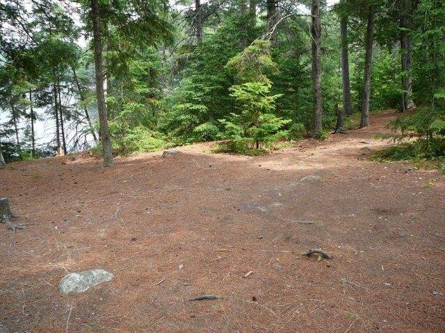
Topography to tent sites: Very steep climb of5 meters, up wooden steps (about 2/3 of the climb), then rest of way on rocks and roots.
Takeout ...
The stairs ...
Campsite
Regular or low-maintenance: Regular Maintenance.
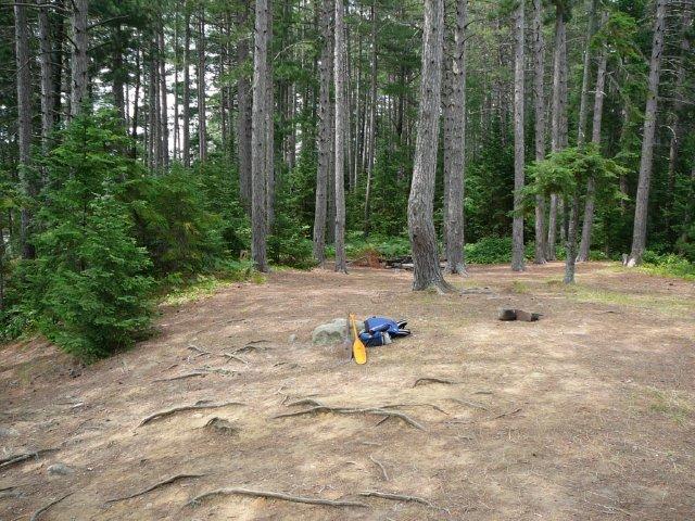
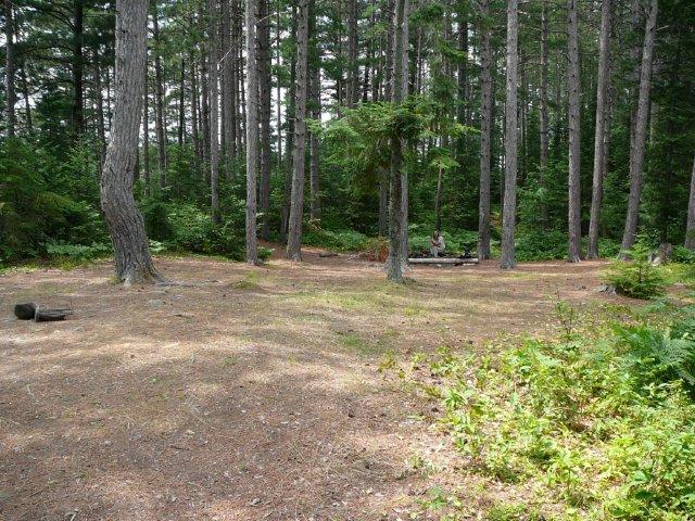
Size of open area: 60 meters x 12 meters.
Extent of tree cover: Light tree cover.
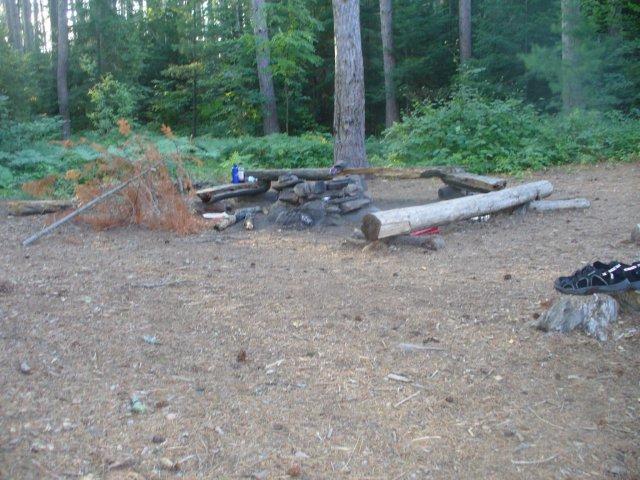
Degree of levelness: Good, fireplace is lower than rest of site but no problem for run-off.
Number of level tent sites: Small army could camp on this site!
North exposure: Trees/lake.
East exposure: : Trees.
South exposure: Trees/lake.
West exposure: Trees.
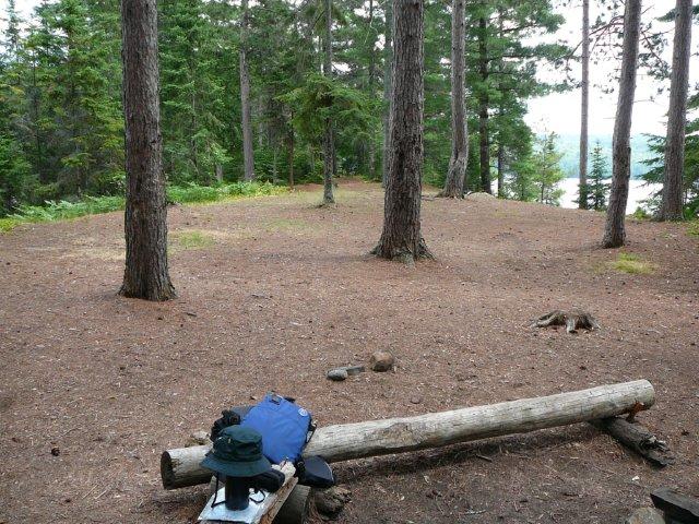
General description: An amazing campsite surrounded by growth of 100'+ pines. Good level site with many tent pads as site is not impeded by many trees. Firepit area is well protected from any wind and is at a lower level than the of rest of the site. Good drainage from anywhere on the site. The only negative is the steep climb from the takeout.
Overall accessibility: If I'm exagerating a 5 meter climb from the takeout, it isn't by much. Once you are on the site the rest of the island is on the same level. There is much to explore as the island is quite large and the site is located in the middle of the island.
Firepit ...
Looking west from top of takeout ...
East view from firepit ...
View from east end of site ...
Looking east from top of takeout ...
Campsite diagram ...
![]()
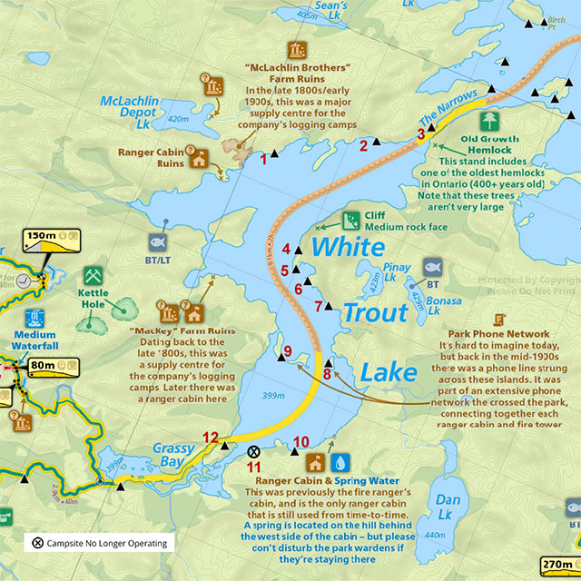
Thanks to Jeffrey McMurtrie of Jeff'sMap for supplying the base-layer map component by Creative Commons licensing.
Submitted by: Chris Taylor .. Visited: 2013 .. Submission: September, 2013