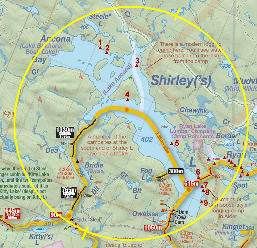
 Shirley Lake to Ryan Lake Portage
Length of portage: 515m
Portage maintenance regular or low: Regular.
Elevation above Sea Level @ Shirley Lake is 402 meters.
Elevation above Sea Level @ Ryan Lake is 407 meters.
Difference in elevation: 5 meters.
Elevation of highest point: 407 meters. Overall rise/fall: 5 meters.
Landing at Shirley Lake
Topography of under-water approach: Shallow grade beach of small gravel.
Impediments to disembarking from and/or unloading a canoe: None.
Topography of the ascending grade: Slight sand slope from the landing.
Impediments to moving gear to portage trail: Ample space to place number of canoes and gear. A meadow of sorts spreads out to the north, at the north end of which (beyond some shoreline bushes) is a campsite.
Shoreline view north toward take-out ...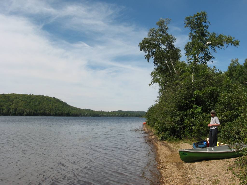
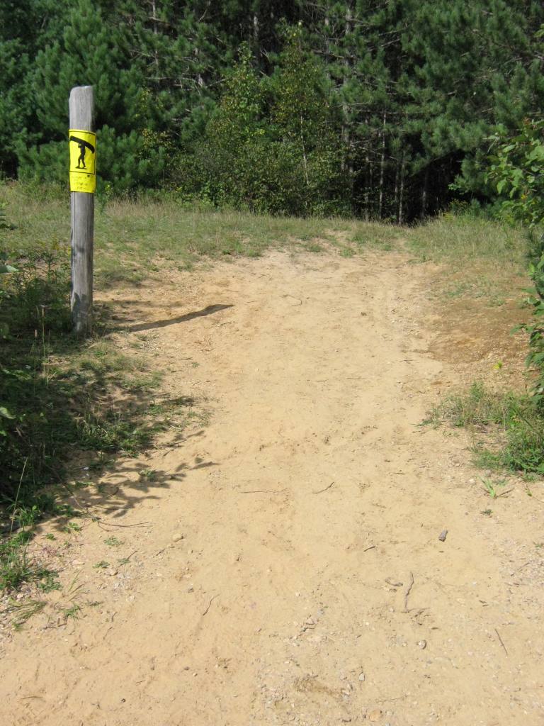
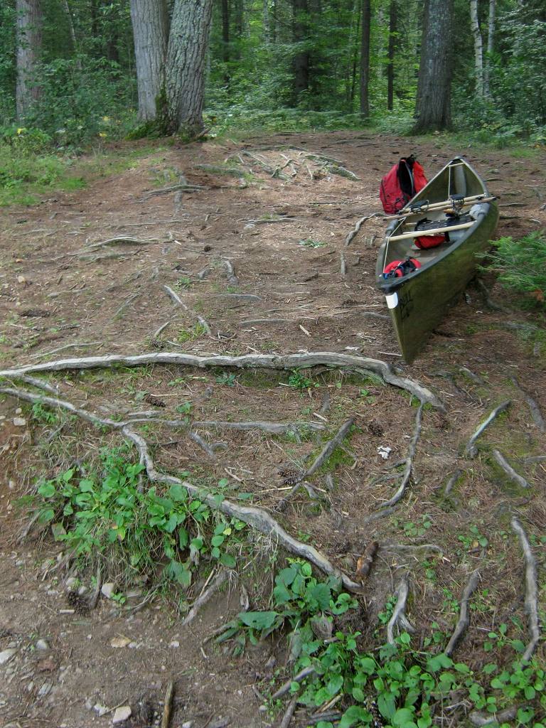
Portage Trail
General description: The portage is quite smooth and level. It is partly comprised of a two-rut vehicle track, which continues due east to join with a logging road. However, a short distance from the logging road, the portage branches off to the left. It soon crosses the same logging road and continues on to Ryan Lake.
Topographical impediments to travelling: None, except the logging road which is regularly used. Keep your ears open for approaching trucks!
Areas susceptible to impact by periods of rain or beaver flooding: None.
The single track portage veers to the left ...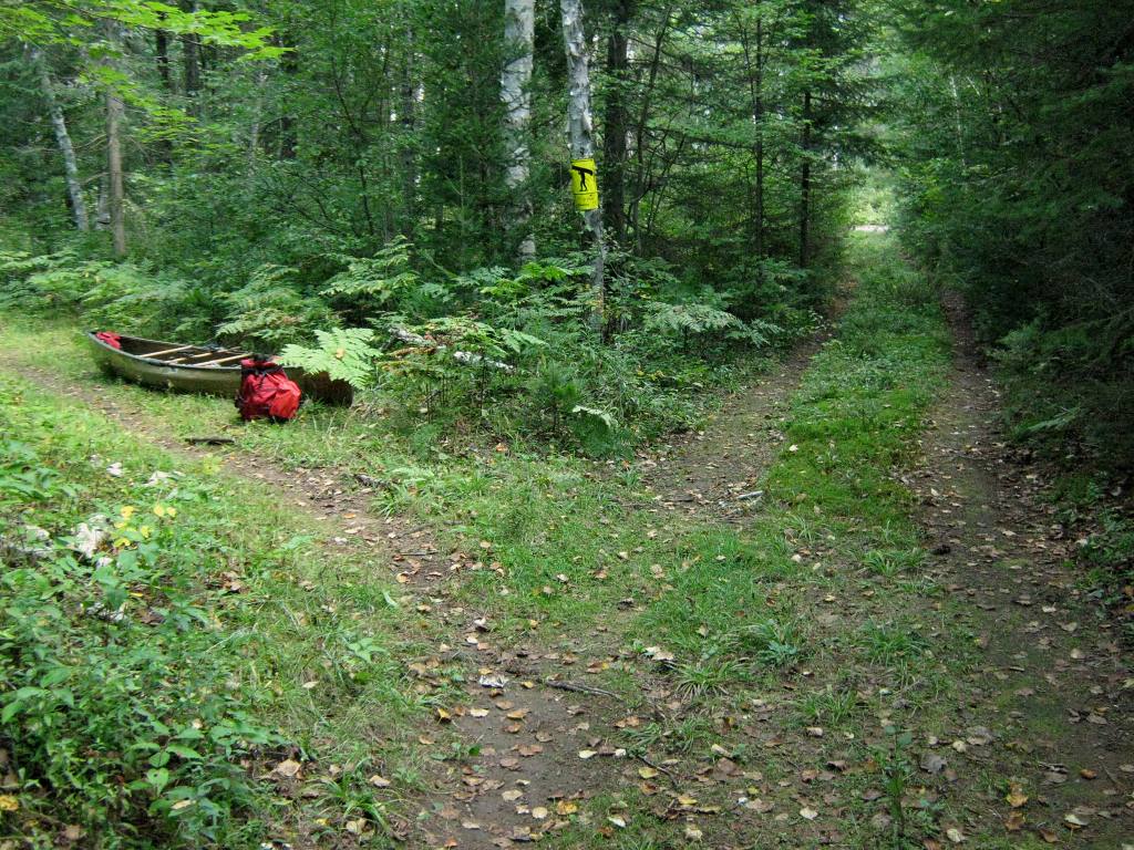
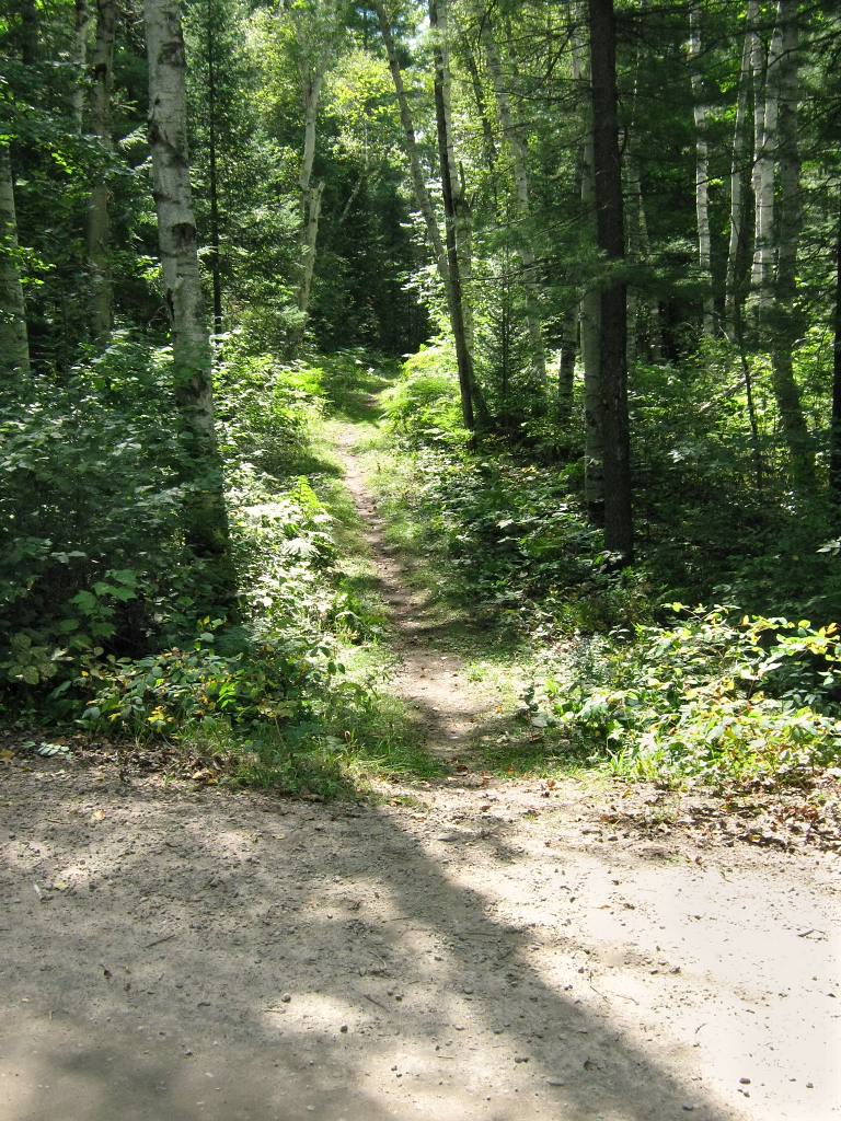
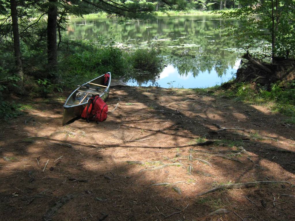
Landing at Ryan Lake
Topography of under-water approach: The actual landing is a shallow dirt and gravel beach area. A few feet further out is somewhat mucky with some small sunken deadwood. Note that when heading out into the main part of Ryan Lake, one has to first paddle across a small inlet or bay.
Impediments to disembarking from and/or unloading a canoe: None
Topography of the ascending grade: There's a small rise up to root and dirt level area. If water levels are high, the access could be directly to the rise itself.
Impediments to moving gear to portage trail: None. there's ample room ashore, to haul canoes and gear aside and out of the way.
Actual landing, at summer water levels ...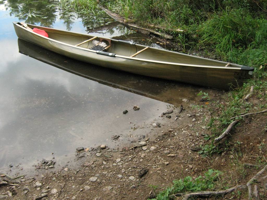
Thanks to Jeffrey McMurtrie of Jeff'sMap for supplying the base-layer map component by Creative Commons licensing.
Submitted by Barry Bridgeford, visited 2006 and 2010, submitted March, 2011