 Sec Lake Campsite #16 N45 49 12.6 W77 33 55.1
Landing
Topography of under-water approach: 2’ deep rocky flat when visited in late summer. Some submerged timber along shore and out from campsite. High earth/grassy bank with scattered rocks at water levels.
Impediments to disembarking from and/or unloading a canoe: At high water levels none. At typical summer water levels, there is a 2’ bank to climb up on to load/unload the vessel(s).
Topography to tent sites: Slight grade to campsite area from bank, otherwise flat. Roughly 1.5 meter elevation from waterfront during summer water conditions.
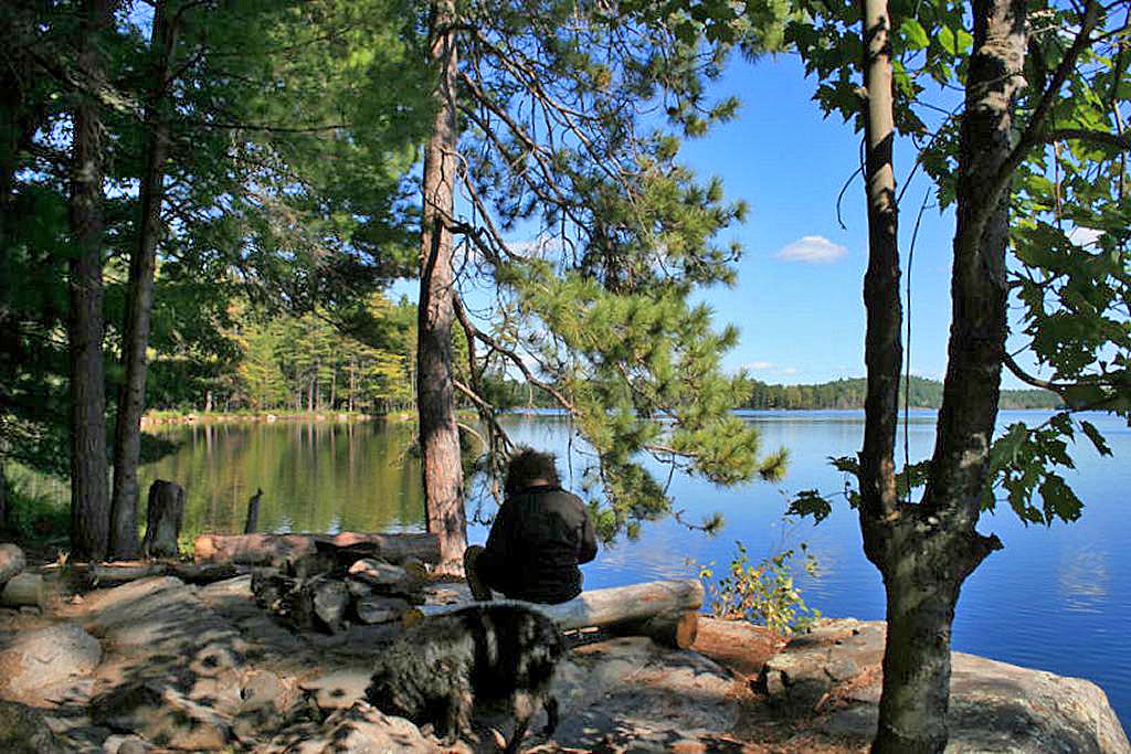
Campsite landing area, looking south ...
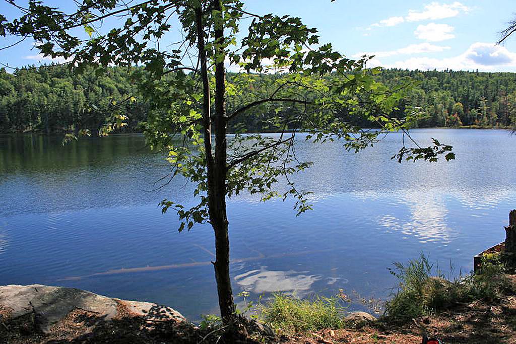
![]()
South-west view of landing area, showing western extent of lake ...
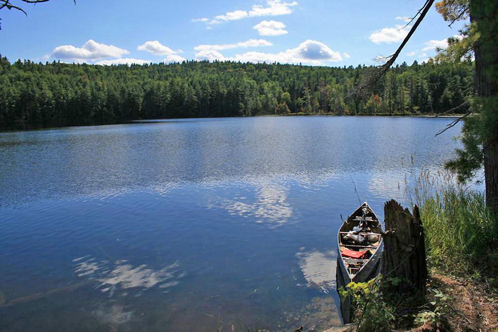
![]()
South-East view of lake, from campsite’s rocky point. ...
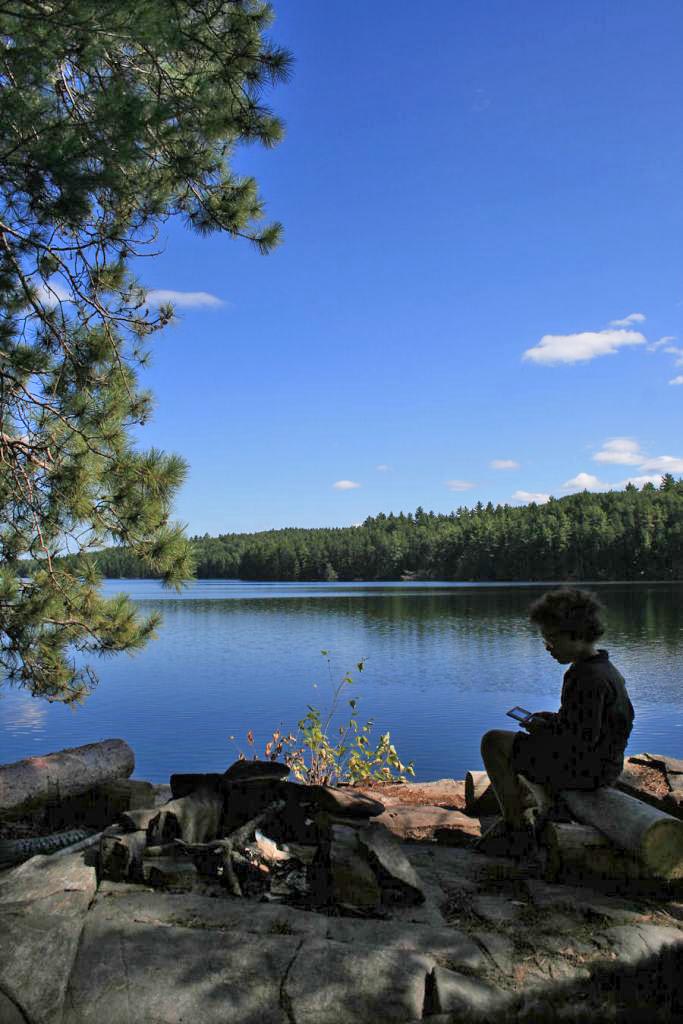
![]()
Campsite
Regular or low-maintenance: Regular
Size of open area 20’ x 20’: Extent of tree cover 85% canopy over tent/kitchen area.
Degree of levelness: Sufficiently flat around firepit and tenting area.
Number of level tent sites: 1 flat site adequate for <=3 person tent.
North exposure: Protected from the north winds. Site backs on to forest.
East exposure: Landing and firepit area are fully exposed to eastern winds.
South exposure: There's exposure from the canoe landing and the site’s rocky point only. Proximity to southern shore and tight bay should be adequate protection from southern winds.
West exposure: Good protection from west winds. The site is recessed into the far west bay.
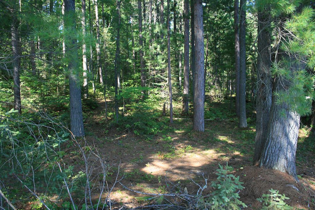
General description: Poor campsite and landing. It's small and mostly shaded site with poor swimming/lounging opportunities. While there's good day-long sun exposure on the rocky point, there's few flat exposed areas to take advantage of it. Rocky point proved a great sunning spot for the many northern water snakes inhabiting the area just above the water surface. Only 1 flat tenting area. No issues with firewood. Poor summer sunset views from site, but good sunrise vista. The forest is young growth of pines and hardwoods.
Overall accessibility: Fair to poor.
Site’s small tenting area, view is north. ...
![]()
Eastern view of lake from site ...
![]()
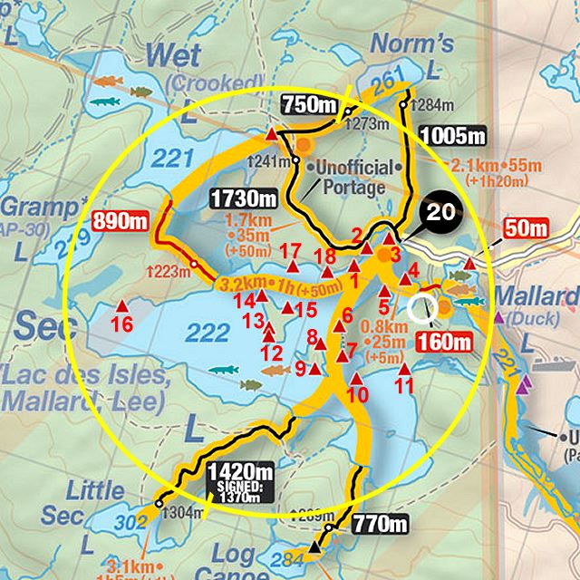
Thanks to Jeffrey McMurtrie of Jeff'sMap for supplying the base-layer map component by Creative Commons licensing.
Submitted by Stephen Molson .. Visited September, 2009 .. Submission March, 2010