
Landing
Topography of under-water approach: Nice sandy shallow beach west-facing landing.
Impediments to disembarking from and/or unloading a canoe: None.
Topography to tent sites: Two step walk up beach over sandy ground. Roughly 1 meter elevation from waterfront.
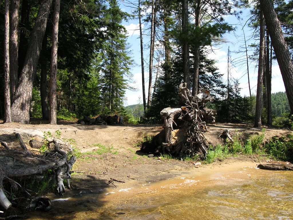
Site’s west-facing sandy beach landing ...
![]()
Sandy beach landing in summer, view is south-west ...
![]()
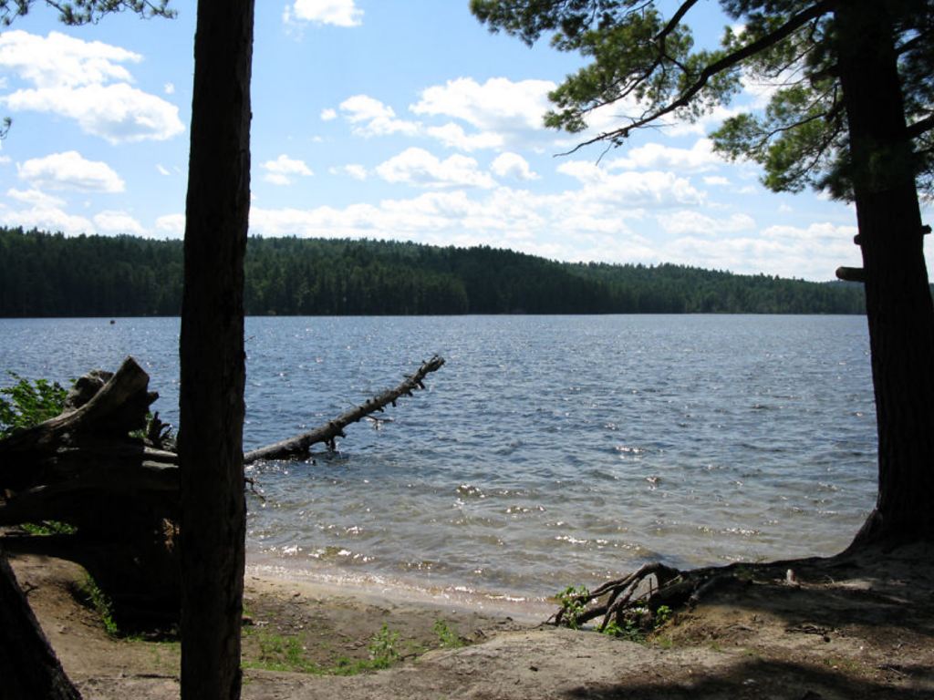
Sandy beach landing in fall, view is west ...
![]()
Campsite
Regular or low-maintenance: Regular
Size of open area: 70’ x 60’.
Extent of tree cover: 75% canopied over firepit/kitchen area.
Degree of levelness: Sufficiently flat around firepit and tenting area.
Number of level tent sites: 3 flat sites adequate for a <=3 person tent.
North exposure: Protected from the North winds – site backs on to forest.
East exposure: Landing and tent site adequately protected from east winds.
South exposure: Landing and firepit exposed to south winds. Tent site adequately protected.
West exposure: Firepit and landings are exposed to westerlies. Tent site adequately protected.
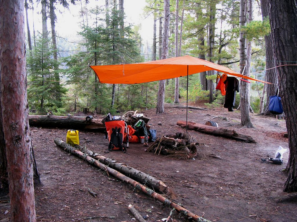
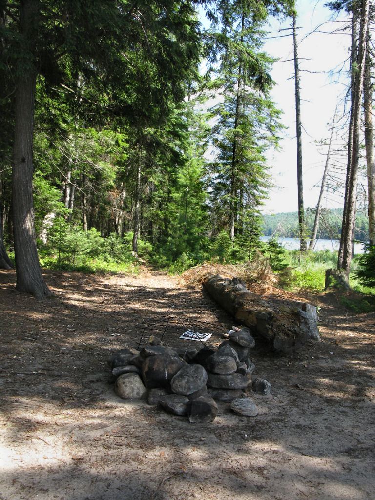
General description: Nice campsite overall. Great sun-exposure from mid-morning to end of day from beach area. Excellent swimming and lounging spot. Shallow water extends fairly far out, gradual increasing depth to 6’ of water. Main firepit fully exposed to western and southern winds, but firepit’s rock wall is well built and up to the task. Full-fledged outhouse with roof and walls located directly behind tenting location. No issues with firewood. One long trunk provides adequate seating. Campsite trail connects site to the one directly to its west. Site nicely flat but somewhat sandy around firepit area (e.g. risk of sand in food). Excellent sunset views from landing and sunrise views possible behind campsite.
Overall accessibility: Good.
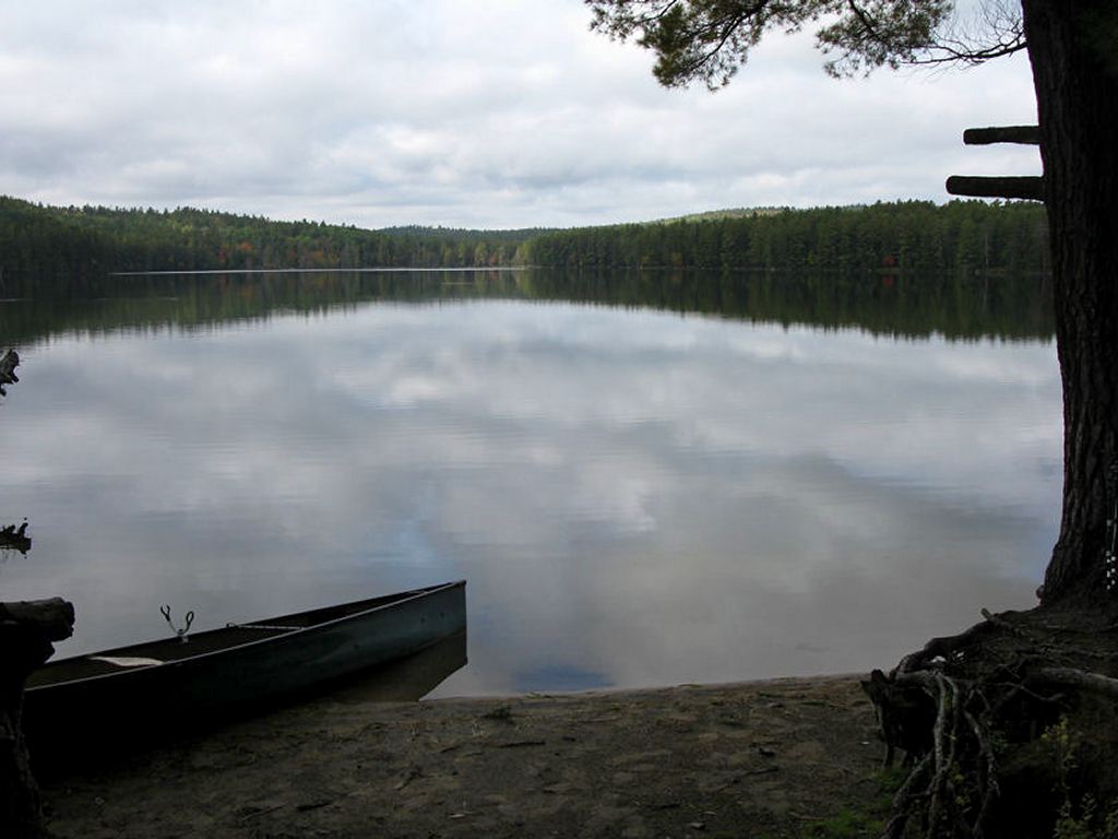
View of beach landing from campsite ...
![]()
Campsite looking south ...
![]()
Campsite’s firepit and log ‘bench’, looking east ...
![]()
One of the site’s 3 tent locations ...
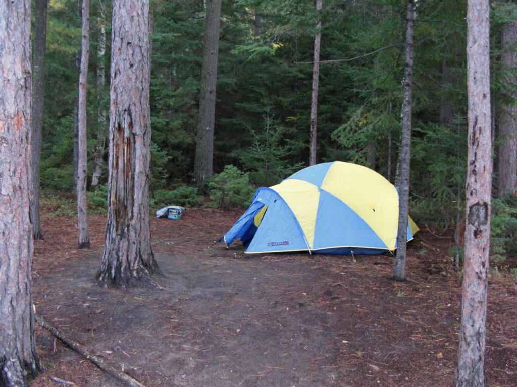
![]()
Outhouse located north of campsite ...
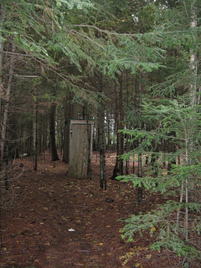
![]()
Thanks to Jeffrey McMurtrie of Jeff'sMap for supplying the base-layer map component by Creative Commons licensing.
Submitted by Stephen Molson .. Visited September, 2010 .. Submission February, 2011