 Rence Lake Campsite #2
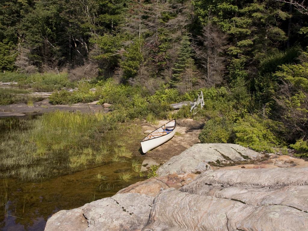
Landing
Topography of under-water approach: There is a large rocky point coming out of this site, on the east side of which is a rocky landing that is not recommended. It is suggested that one paddles to the west side of this rocky outcropping, where there is a sandy landing facing southwest. The approach is shallow with a gravel and rock bottom.
Impediments to disembarking from and/or unloading a canoe: The landing itself is clear. The path from landing to campsite may have some subtle brush to walk through, but a path is visible.
Landing area, facing south-east from campsite ...
![]()
Campsite
Regular or low-maintenance: Regular.
Size of open area: Approximately 60'x40'.
Extent of tree cover: 80% canopied, open area would be the rocky point, which is quite spacious.
Degree of levelness: Level, no visible slant.
Number of level tent sites: Could squeeze in 3 tents comfortably.
North exposure: Land slants up a hill into forested area.
East exposure: Thin treeline, able to see through slightly to water.
South exposure: Treed everywhere up to the path leading to rocky point.
West exposure: Thin treeline and bush leading to landing.
General description: Not a bad campsite, well-shaded if that is your preference. Firepit is in decent condition. Swimming area off of rocky point, slippery rock so some care should be taken when coming out of the water. Expect some traffic during the busy months as campsite is next to the canoe route to Frank L. Decent firewood available.
Overall accessibility: GoodTentsite area located in the forest behind rocky point ...
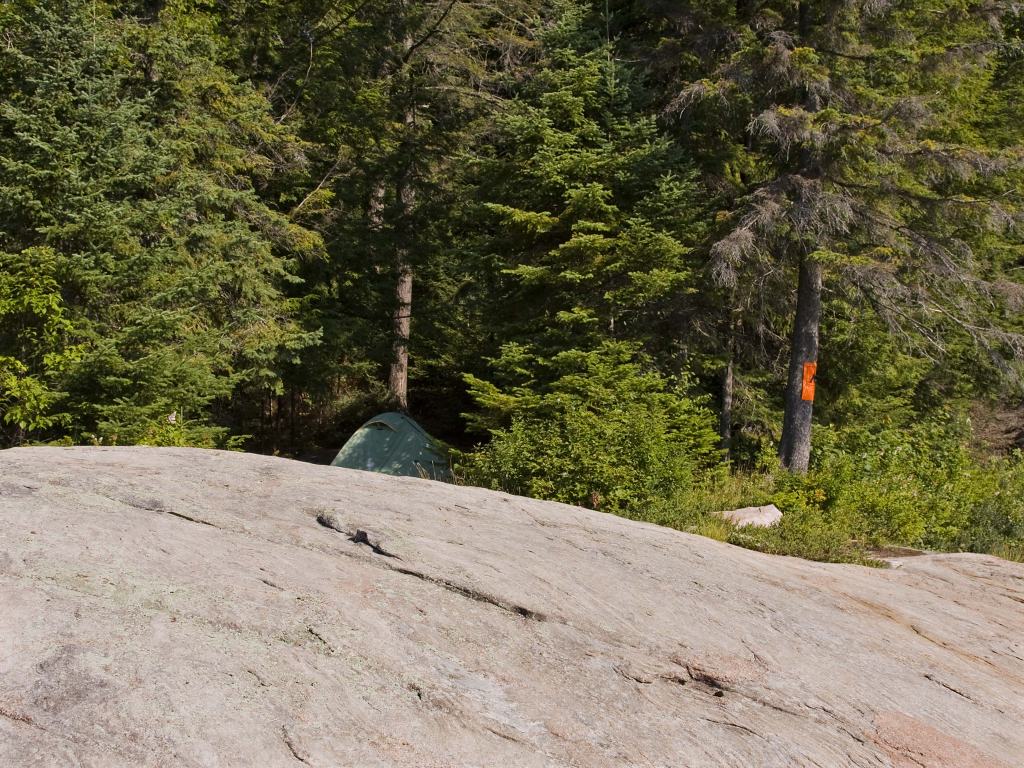
![]()
Looking south through tentsite ...
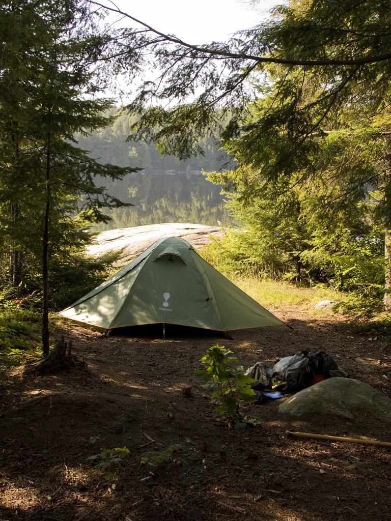
![]()
Firepit area in the forest ...
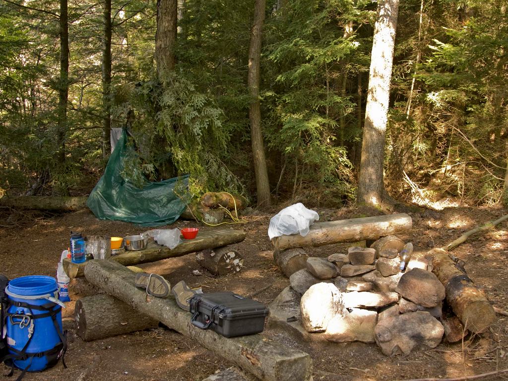
![]()
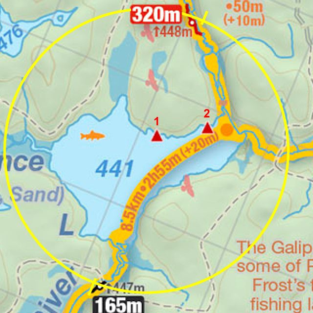
Thanks to Jeffrey McMurtrie of Jeff'sMap for supplying the base-layer map component by Creative Commons licensing.
Submitted by Brice Zimny, November 2009.